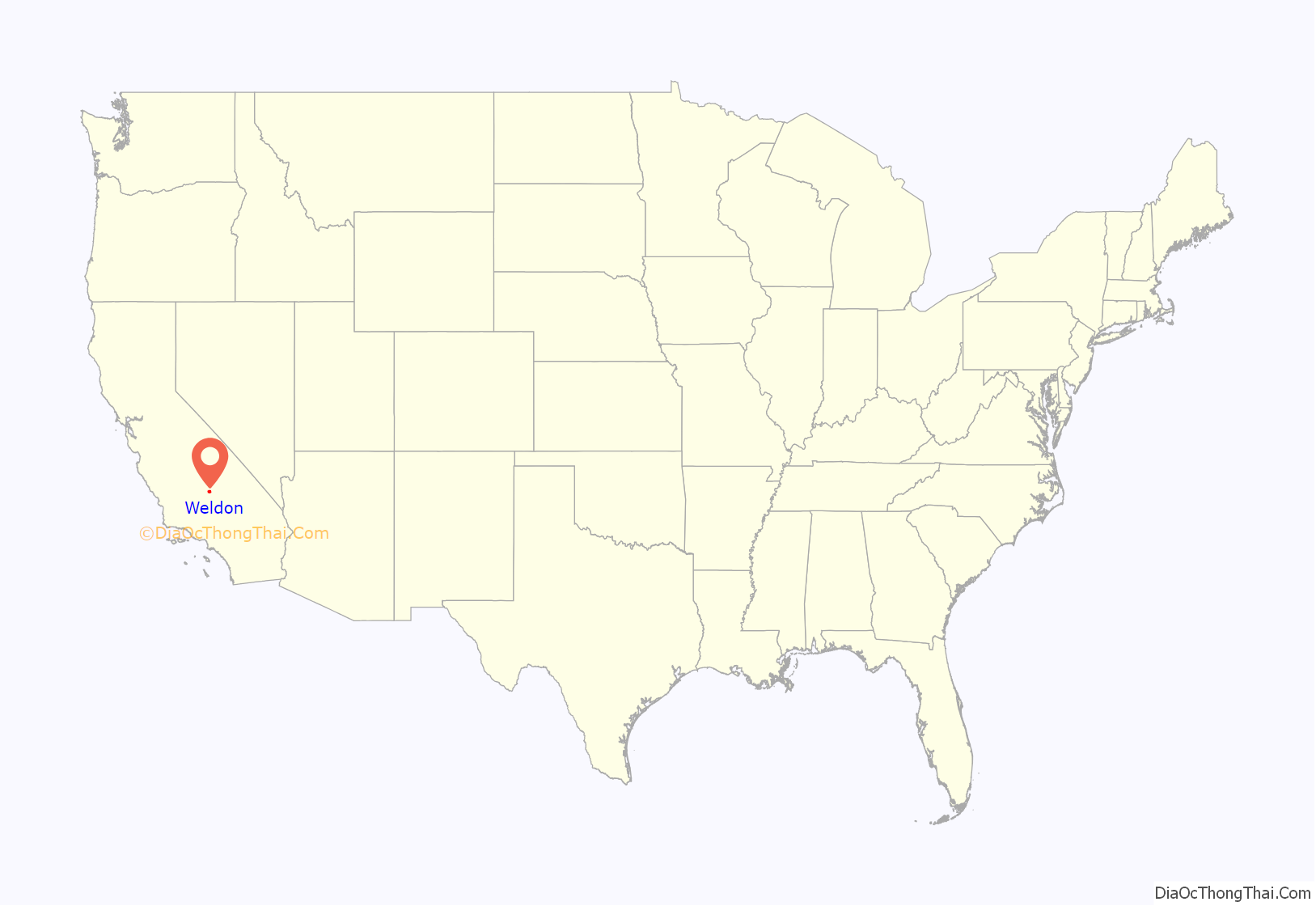
Weldon is a census-designated place (CDP) in Kern County, California, United States. It sits at the southeast tip of Lake Isabella. Weldon is located 9 miles (14 km) east-southeast of Wofford Heights, at an elevation of 2,654 feet (809 m). The population was 2,642 at the 2010 census, up from 2,387 at the 2000 census.
| Name: | Weldon CDP |
|---|---|
| LSAD Code: | 57 |
| LSAD Description: | CDP (suffix) |
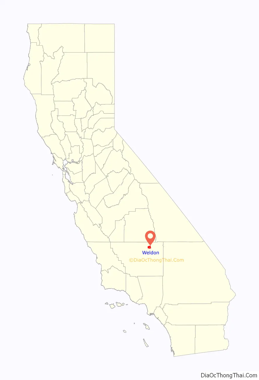
| State: | California |
| County: | Kern County |
| Elevation: | 2,654 ft (809 m) |
| Total Area: | 26.793 sq mi (69.394 km²) |
| Land Area: | 26.642 sq mi (69.002 km²) |
| Water Area: | 0.151 sq mi (0.392 km²) 0.56% |
| Total Population: | 2,645 |
| Population Density: | 99/sq mi (38/km²) |
| ZIP code: | 93283 |
| FIPS code: | 0683948 |
| GNISfeature ID: | 0255860 |
Online Interactive Map
Click on ![]() to view map in "full screen" mode.
to view map in "full screen" mode.
Weldon location map. Where is Weldon CDP?
History
The Weldon post office opened in 1871. The name honors William B. Weldon, a cattle rancher. Camp Leonard, a temporary army camp, was established at Weldon in 1863.
The 1941 western film Doomed Caravan was partially filmed in Weldon. Other movies filmed here include Borderland (1937), In Old Mexico (1938) and Hidden Gold (1940).
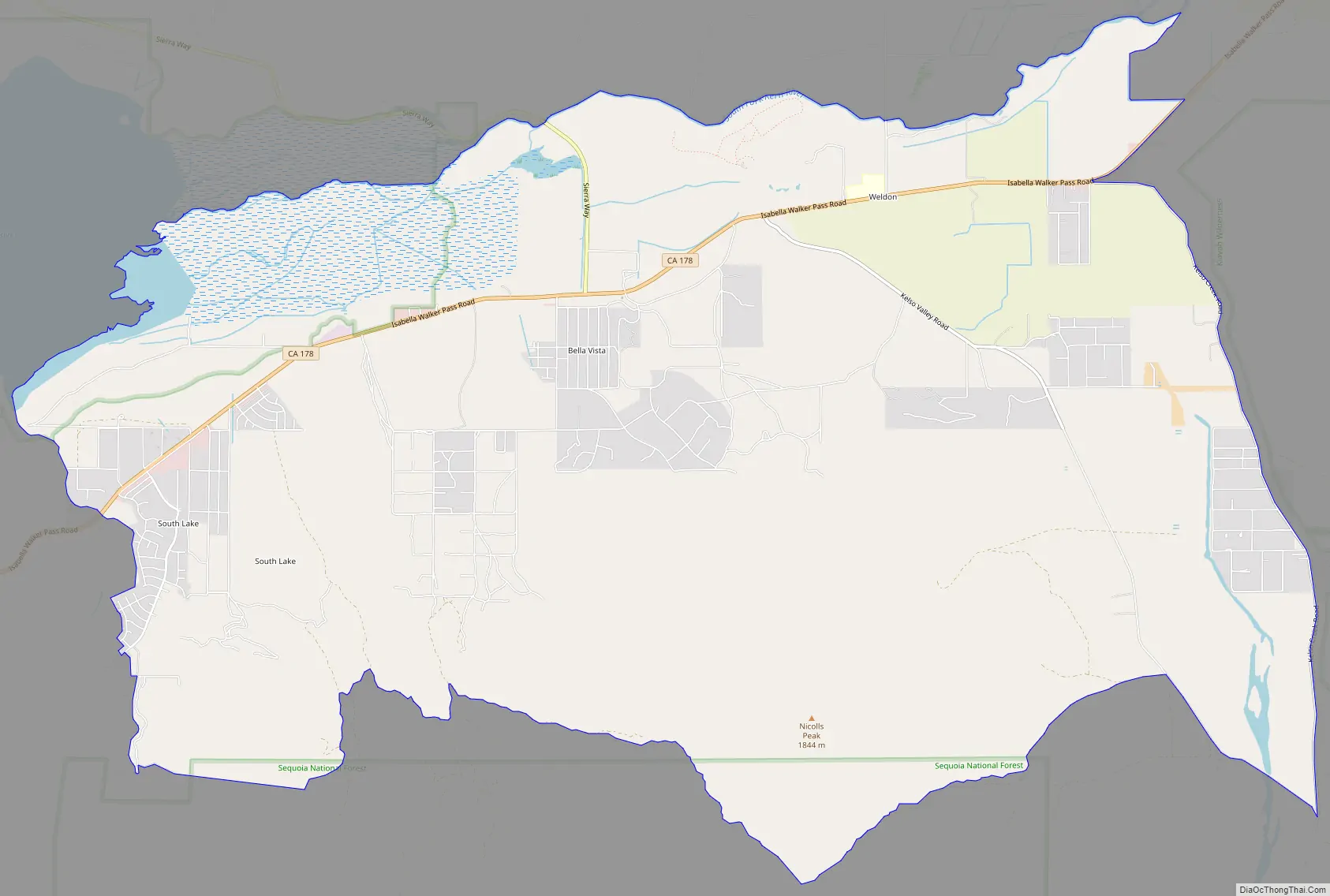
Weldon Road Map
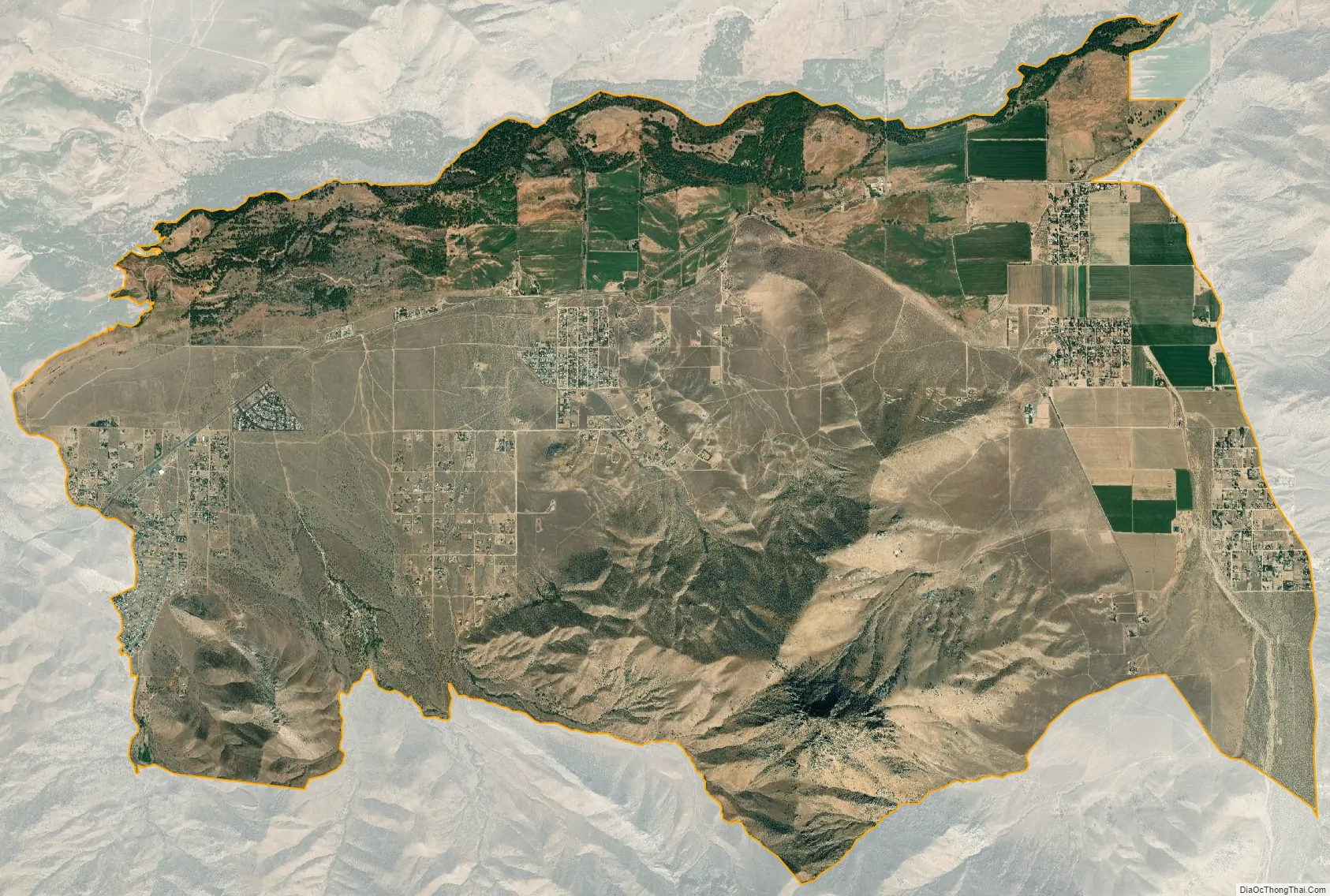
Weldon city Satellite Map
Geography
Weldon is located at 35°39′57″N 118°17′25″W / 35.66583°N 118.29028°W / 35.66583; -118.29028.
According to the United States Census Bureau, the CDP has a total area of 26.8 square miles (69 km), over 99% of it land.
See also
Map of California State and its subdivision:- Alameda
- Alpine
- Amador
- Butte
- Calaveras
- Colusa
- Contra Costa
- Del Norte
- El Dorado
- Fresno
- Glenn
- Humboldt
- Imperial
- Inyo
- Kern
- Kings
- Lake
- Lassen
- Los Angeles
- Madera
- Marin
- Mariposa
- Mendocino
- Merced
- Modoc
- Mono
- Monterey
- Napa
- Nevada
- Orange
- Placer
- Plumas
- Riverside
- Sacramento
- San Benito
- San Bernardino
- San Diego
- San Francisco
- San Joaquin
- San Luis Obispo
- San Mateo
- Santa Barbara
- Santa Clara
- Santa Cruz
- Shasta
- Sierra
- Siskiyou
- Solano
- Sonoma
- Stanislaus
- Sutter
- Tehama
- Trinity
- Tulare
- Tuolumne
- Ventura
- Yolo
- Yuba
- Alabama
- Alaska
- Arizona
- Arkansas
- California
- Colorado
- Connecticut
- Delaware
- District of Columbia
- Florida
- Georgia
- Hawaii
- Idaho
- Illinois
- Indiana
- Iowa
- Kansas
- Kentucky
- Louisiana
- Maine
- Maryland
- Massachusetts
- Michigan
- Minnesota
- Mississippi
- Missouri
- Montana
- Nebraska
- Nevada
- New Hampshire
- New Jersey
- New Mexico
- New York
- North Carolina
- North Dakota
- Ohio
- Oklahoma
- Oregon
- Pennsylvania
- Rhode Island
- South Carolina
- South Dakota
- Tennessee
- Texas
- Utah
- Vermont
- Virginia
- Washington
- West Virginia
- Wisconsin
- Wyoming


