West Point (formerly, Indian Gulch and Westpoint) is a census-designated place (CDP) in Calaveras County, California, in the United States. As of the 2010 United States Census, West Point’s population was 674, down from 746 as of the 2000 census. The town is registered as California Historical Landmark #268. There is an annual West Point Lumberjack Days festival in the community.
| Name: | West Point CDP |
|---|---|
| LSAD Code: | 57 |
| LSAD Description: | CDP (suffix) |
| State: | California |
| County: | Calaveras County |
| Elevation: | 2,769 ft (844 m) |
| Total Area: | 3.719 sq mi (9.632 km²) |
| Land Area: | 3.719 sq mi (9.632 km²) |
| Water Area: | 0 sq mi (0 km²) 0% |
| Total Population: | 674 |
| Population Density: | 180/sq mi (70/km²) |
| ZIP code: | 95255 |
| Area code: | 209 |
| FIPS code: | 0684732 |
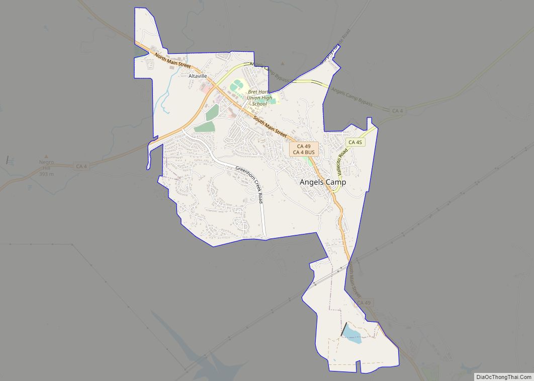
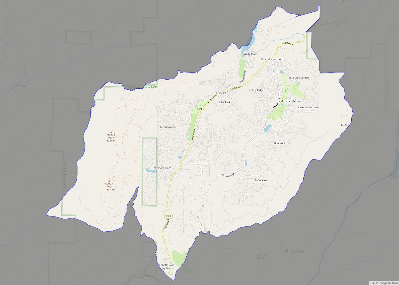
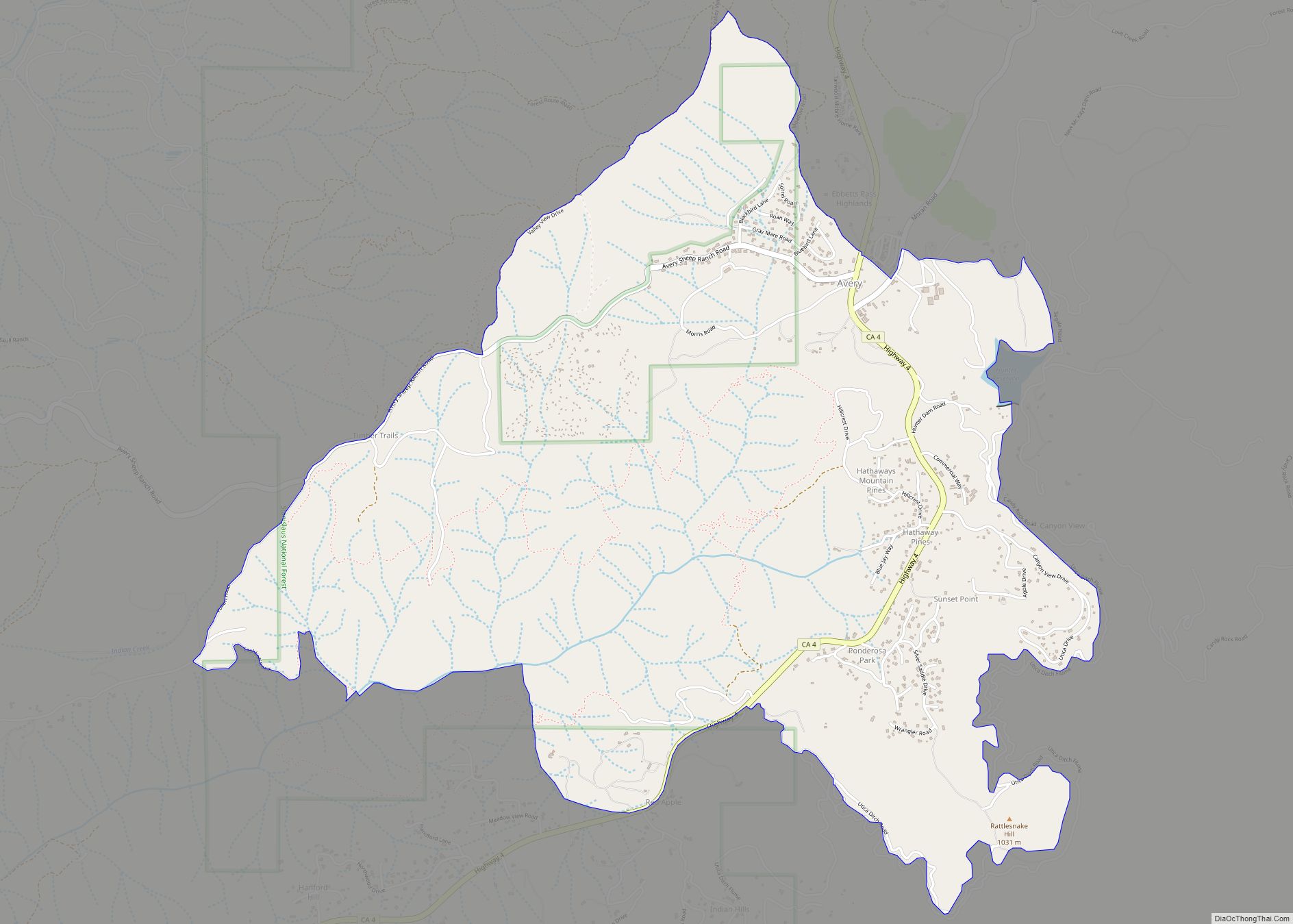
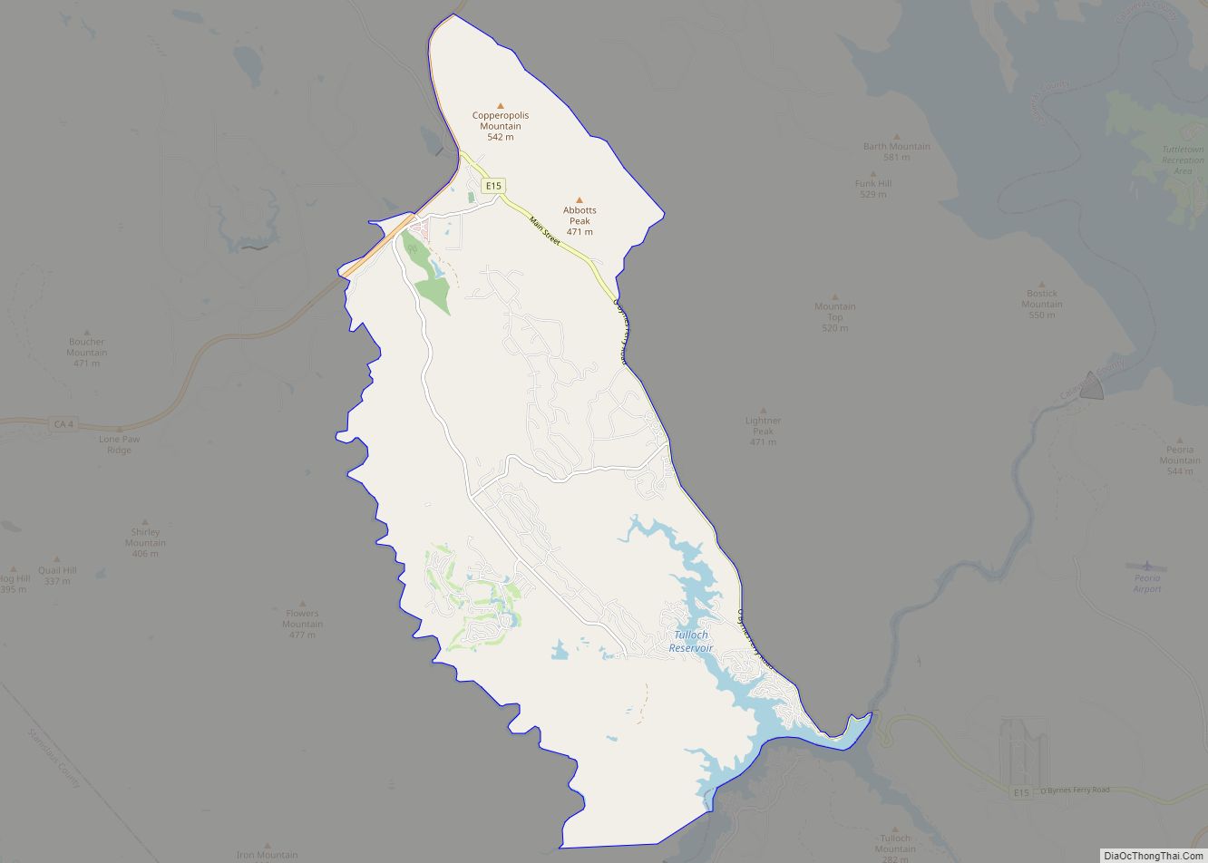
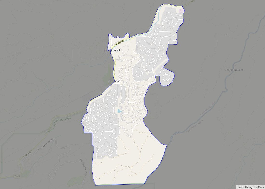
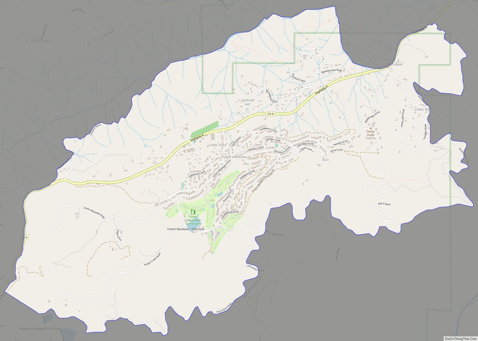
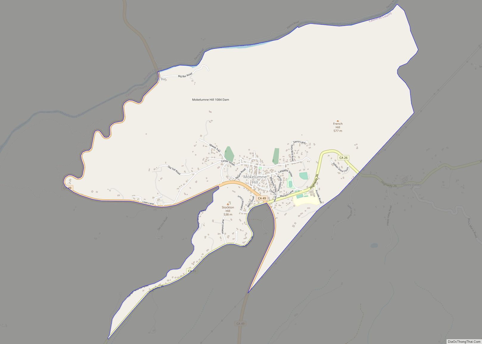
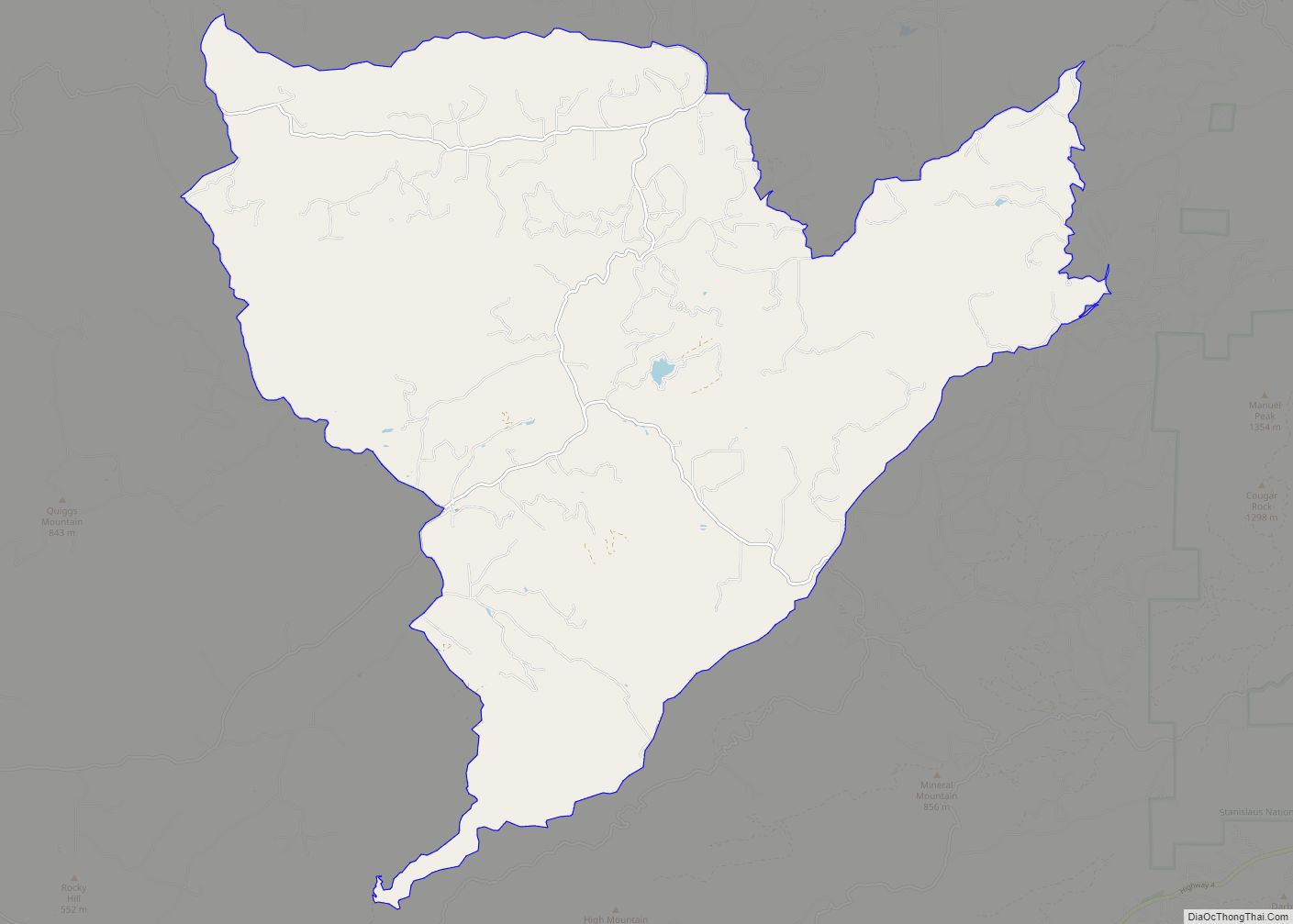
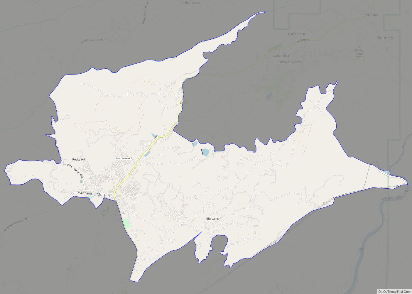
Online Interactive Map
Click on ![]() to view map in "full screen" mode.
to view map in "full screen" mode.
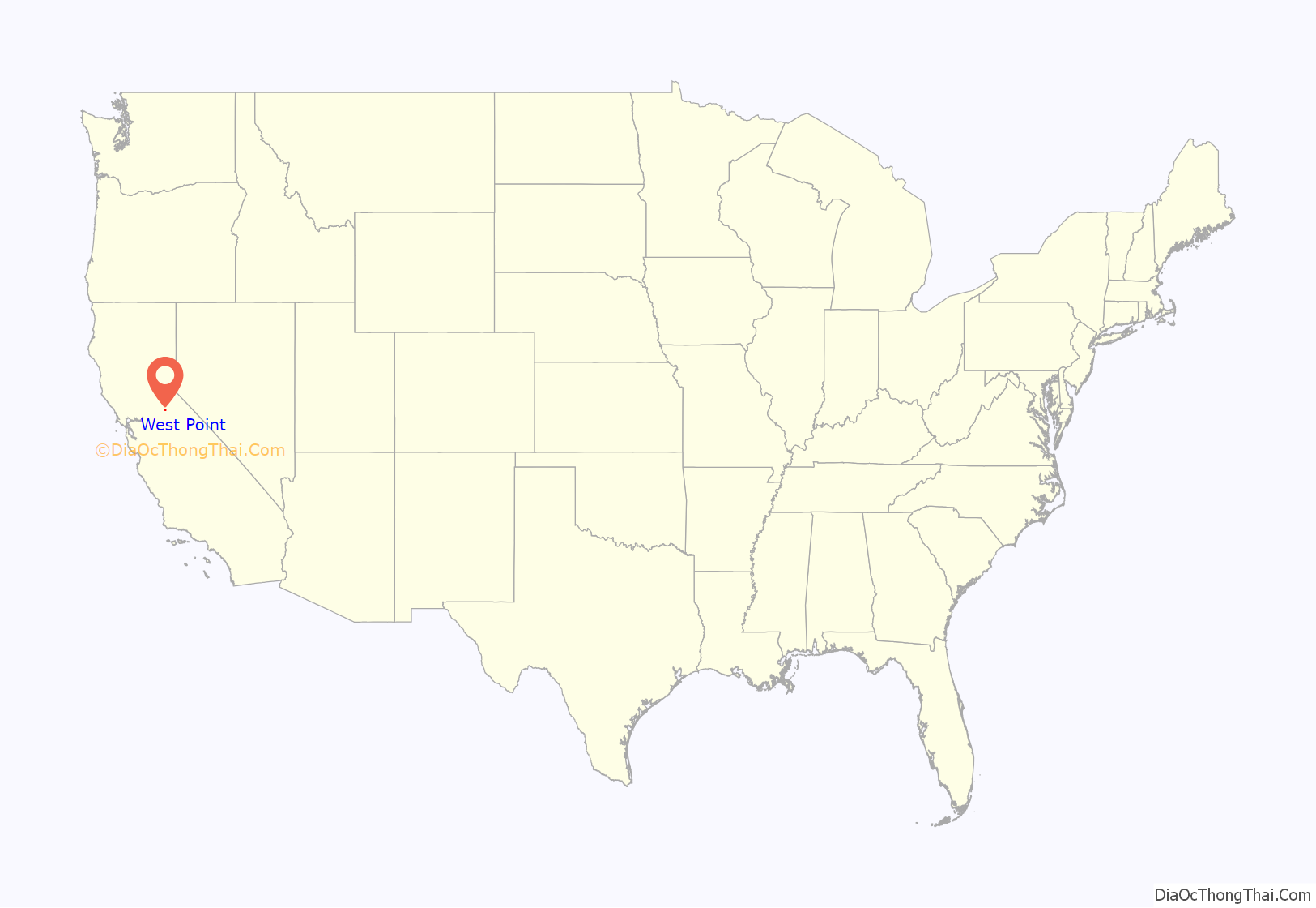
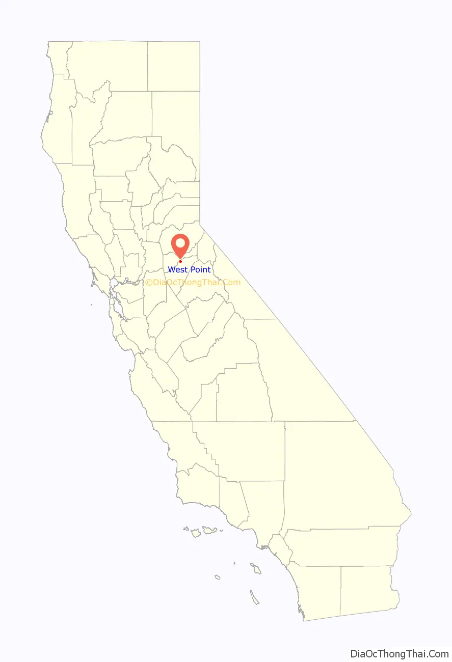
West Point location map. Where is West Point CDP?
History
West Point was originally the name of a camp established here by scout Kit Carson, who was searching for a pass over the Sierra Nevada. The town was originally named Indian Gulch when founded in 1852; the name was changed to West Point in 1854. The first post office was opened in 1856, the name changed to Westpoint in 1895 and changed back to West Point in 1947.
One emigrant road forked by Big Meadow — its north branch came directly to West Point, which was a thriving trading post prior to the gold discovery. Author Bret Harte lived there for a time.
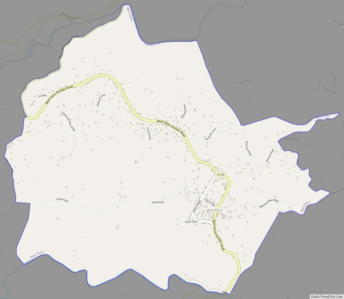
West Point Road Map
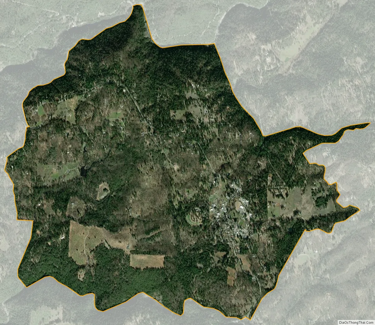
West Point city Satellite Map
Geography
According to the United States Census Bureau, the CDP has a total area of 3.7 square miles (9.6 km), all land.
Climate
According to the Köppen Climate Classification system, West Point has a warm-summer Mediterranean climate, abbreviated “Csa” on climate maps.
See also
Map of California State and its subdivision:- Alameda
- Alpine
- Amador
- Butte
- Calaveras
- Colusa
- Contra Costa
- Del Norte
- El Dorado
- Fresno
- Glenn
- Humboldt
- Imperial
- Inyo
- Kern
- Kings
- Lake
- Lassen
- Los Angeles
- Madera
- Marin
- Mariposa
- Mendocino
- Merced
- Modoc
- Mono
- Monterey
- Napa
- Nevada
- Orange
- Placer
- Plumas
- Riverside
- Sacramento
- San Benito
- San Bernardino
- San Diego
- San Francisco
- San Joaquin
- San Luis Obispo
- San Mateo
- Santa Barbara
- Santa Clara
- Santa Cruz
- Shasta
- Sierra
- Siskiyou
- Solano
- Sonoma
- Stanislaus
- Sutter
- Tehama
- Trinity
- Tulare
- Tuolumne
- Ventura
- Yolo
- Yuba
- Alabama
- Alaska
- Arizona
- Arkansas
- California
- Colorado
- Connecticut
- Delaware
- District of Columbia
- Florida
- Georgia
- Hawaii
- Idaho
- Illinois
- Indiana
- Iowa
- Kansas
- Kentucky
- Louisiana
- Maine
- Maryland
- Massachusetts
- Michigan
- Minnesota
- Mississippi
- Missouri
- Montana
- Nebraska
- Nevada
- New Hampshire
- New Jersey
- New Mexico
- New York
- North Carolina
- North Dakota
- Ohio
- Oklahoma
- Oregon
- Pennsylvania
- Rhode Island
- South Carolina
- South Dakota
- Tennessee
- Texas
- Utah
- Vermont
- Virginia
- Washington
- West Virginia
- Wisconsin
- Wyoming