Wheatland is the second-largest city by population in Yuba County, California, United States. The population was 3,456 at the 2010 census, up from 2,275 at the 2000 census. Wheatland is located 12.5 miles (20 km) southeast of Marysville.
| Name: | Wheatland city |
|---|---|
| LSAD Code: | 25 |
| LSAD Description: | city (suffix) |
| State: | California |
| County: | Yuba County |
| Incorporated: | April 23, 1874 |
| Elevation: | 92 ft (28 m) |
| Total Area: | 8.13 sq mi (21.05 km²) |
| Land Area: | 8.12 sq mi (21.04 km²) |
| Water Area: | 0.01 sq mi (0.02 km²) 0.45% |
| Total Population: | 3,456 |
| Population Density: | 476.85/sq mi (184.12/km²) |
| ZIP code: | 95692 |
| Area code: | 530 |
| FIPS code: | 0685012 |
| GNISfeature ID: | 1652652 |
| Website: | www.wheatland.ca.gov |
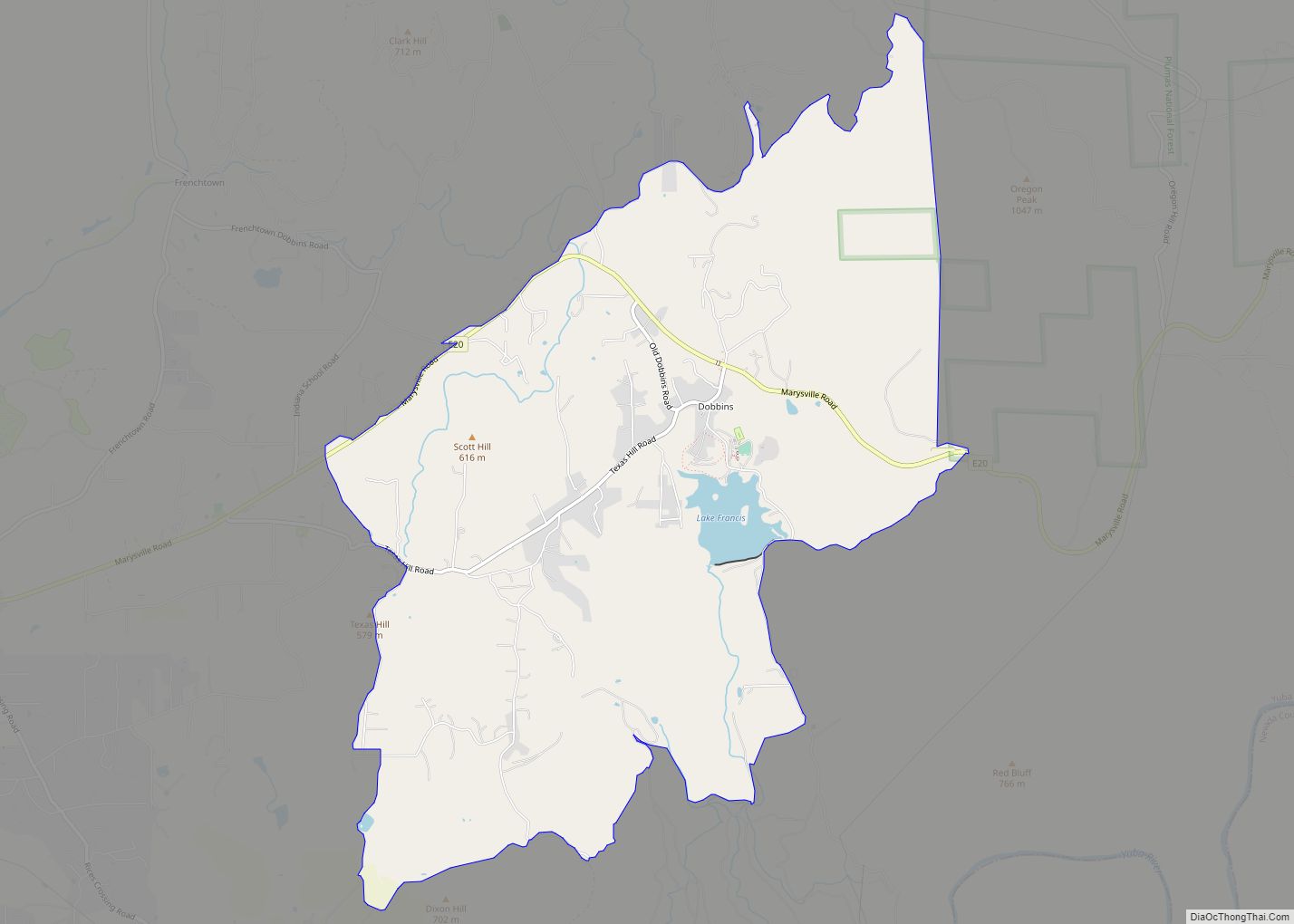
Online Interactive Map
Click on ![]() to view map in "full screen" mode.
to view map in "full screen" mode.
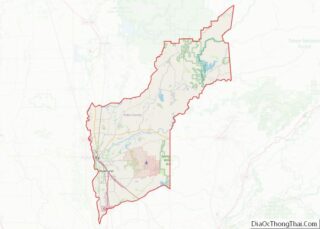
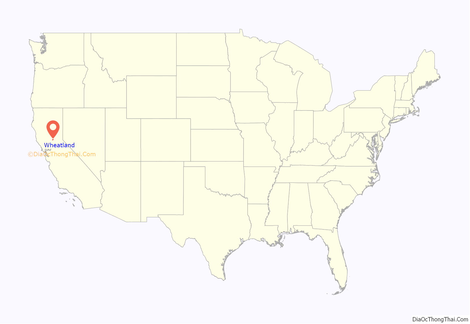
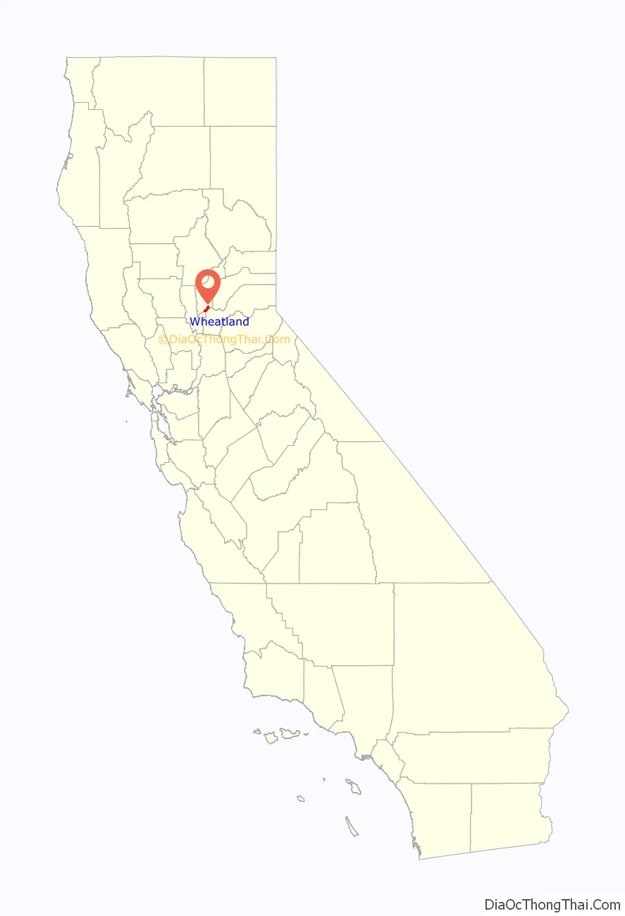
Wheatland location map. Where is Wheatland city?
History
Wheatland is located on the Rancho Johnson Mexican land grant. A post office opened in 1866. Wheatland incorporated in 1874.
Wheatland was home to a significant Chinese American community in the 1860s, but all of the Chinese American residents were driven out of town in a series of violent confrontations in February 1886.
In 1888, Edward Duplex was elected Mayor, the first black man to be elected mayor of a Western United States city. His original barbershop stands today on Main street.
Wheatland was the site of the bloody Hop Riot of 1913, considered a notable event in farm labor history that left four men dead, a Wheatland constable shot, and martial law imposed before it was over.
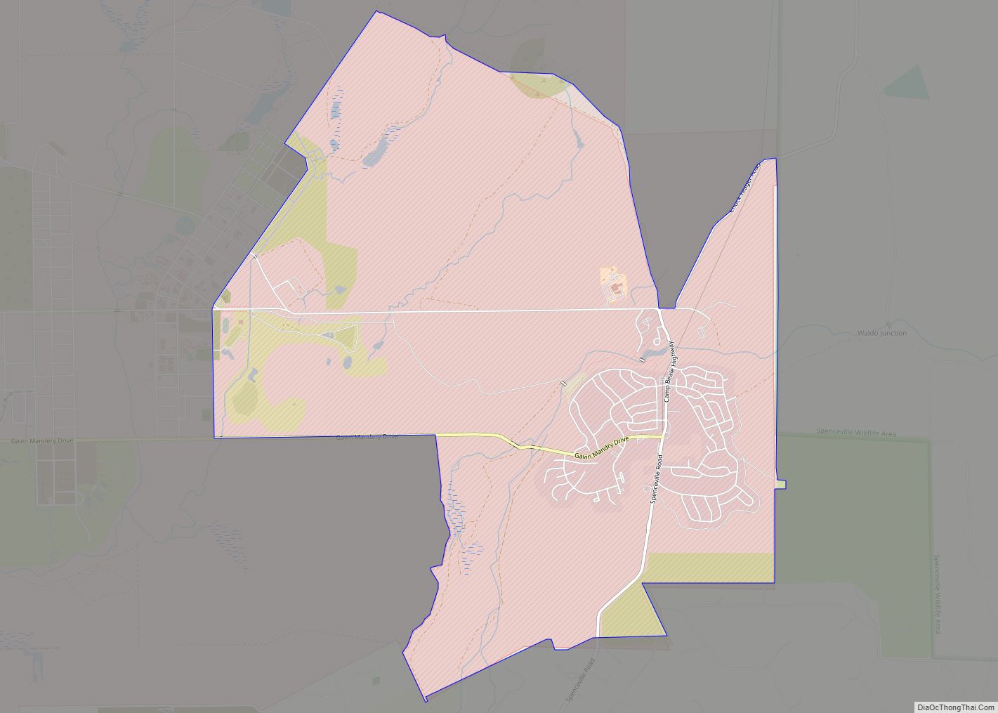
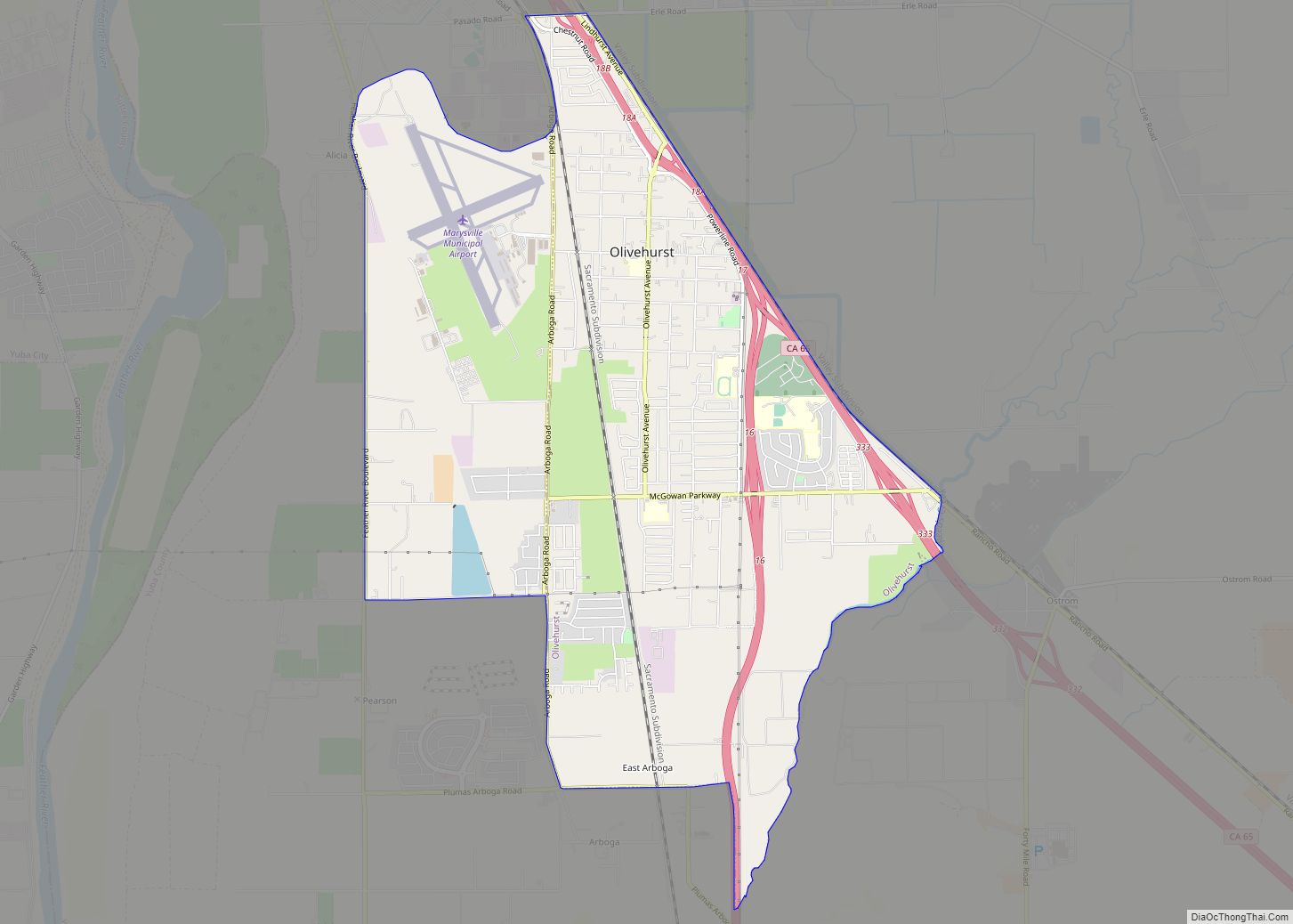
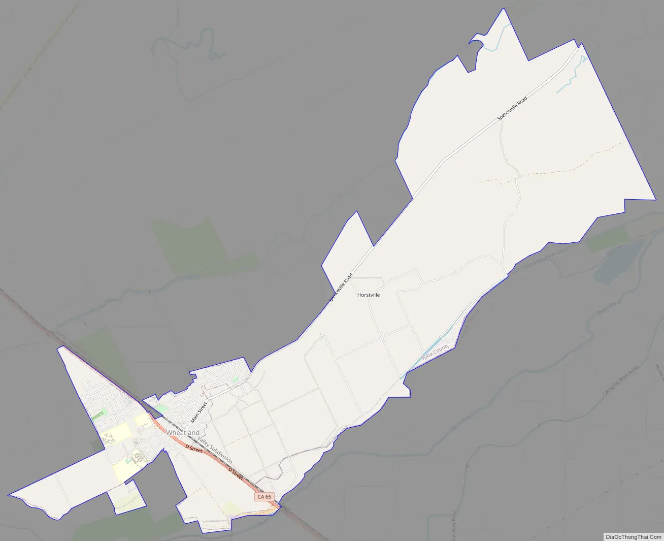
Wheatland Road Map
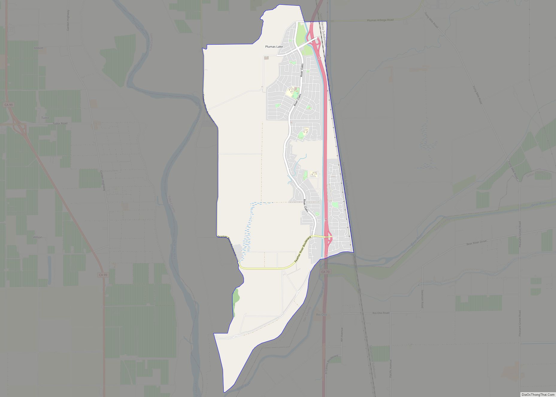
Wheatland city Satellite Map
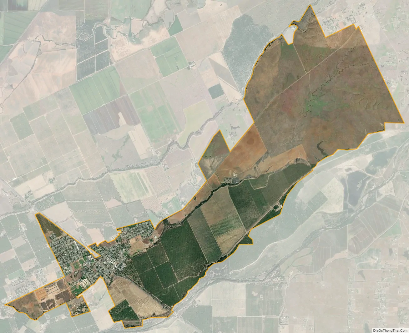
Geography
Wheatland is located at 39°00′36″N 121°25′23″W / 39.01000°N 121.42306°W / 39.01000; -121.42306.
According to the United States Census Bureau, the city has a total area of 1.5 square miles (3.9 km), 99.55% of it land and 0.45% of it water.
See also
Map of California State and its subdivision:- Alameda
- Alpine
- Amador
- Butte
- Calaveras
- Colusa
- Contra Costa
- Del Norte
- El Dorado
- Fresno
- Glenn
- Humboldt
- Imperial
- Inyo
- Kern
- Kings
- Lake
- Lassen
- Los Angeles
- Madera
- Marin
- Mariposa
- Mendocino
- Merced
- Modoc
- Mono
- Monterey
- Napa
- Nevada
- Orange
- Placer
- Plumas
- Riverside
- Sacramento
- San Benito
- San Bernardino
- San Diego
- San Francisco
- San Joaquin
- San Luis Obispo
- San Mateo
- Santa Barbara
- Santa Clara
- Santa Cruz
- Shasta
- Sierra
- Siskiyou
- Solano
- Sonoma
- Stanislaus
- Sutter
- Tehama
- Trinity
- Tulare
- Tuolumne
- Ventura
- Yolo
- Yuba
- Alabama
- Alaska
- Arizona
- Arkansas
- California
- Colorado
- Connecticut
- Delaware
- District of Columbia
- Florida
- Georgia
- Hawaii
- Idaho
- Illinois
- Indiana
- Iowa
- Kansas
- Kentucky
- Louisiana
- Maine
- Maryland
- Massachusetts
- Michigan
- Minnesota
- Mississippi
- Missouri
- Montana
- Nebraska
- Nevada
- New Hampshire
- New Jersey
- New Mexico
- New York
- North Carolina
- North Dakota
- Ohio
- Oklahoma
- Oregon
- Pennsylvania
- Rhode Island
- South Carolina
- South Dakota
- Tennessee
- Texas
- Utah
- Vermont
- Virginia
- Washington
- West Virginia
- Wisconsin
- Wyoming