Winchester is a census-designated place (CDP) in Riverside County, California, USA. As of the 2010 census, the CDP had a total population of 2,534, up from 2,155 at the 2000 census.
Winchester was founded in 1886 in Peasant Valley in what was then San Diego County. The town was named after the widow of Horace Winchester, Mrs. Amy Winchester.
Largely rural for most of its history, and home to agricultural businesses including the Winchester Cheese Company, Winchester experienced rapid growth during the housing construction boom in the early-to-mid 2000s. However, construction and growth slowed when the housing bubble burst in 2007, resulting in a housing market correction. The mid-to-late 2010s saw housing prices in Winchester recover and construction continue with new subdivisions, schools, and parks being built.
| Name: | Winchester CDP |
|---|---|
| LSAD Code: | 57 |
| LSAD Description: | CDP (suffix) |
| State: | California |
| County: | Riverside County |
| Elevation: | 1,473 ft (449 m) |
| Total Area: | 7.732 sq mi (20.025 km²) |
| Land Area: | 7.732 sq mi (20.025 km²) |
| Water Area: | 0 sq mi (0 km²) 0% |
| Total Population: | 2,534 |
| Population Density: | 330/sq mi (130/km²) |
| ZIP code: | 92596 |
| Area code: | 951 |
| FIPS code: | 0685894 |
| GNISfeature ID: | 1652814 |
Online Interactive Map
Click on ![]() to view map in "full screen" mode.
to view map in "full screen" mode.
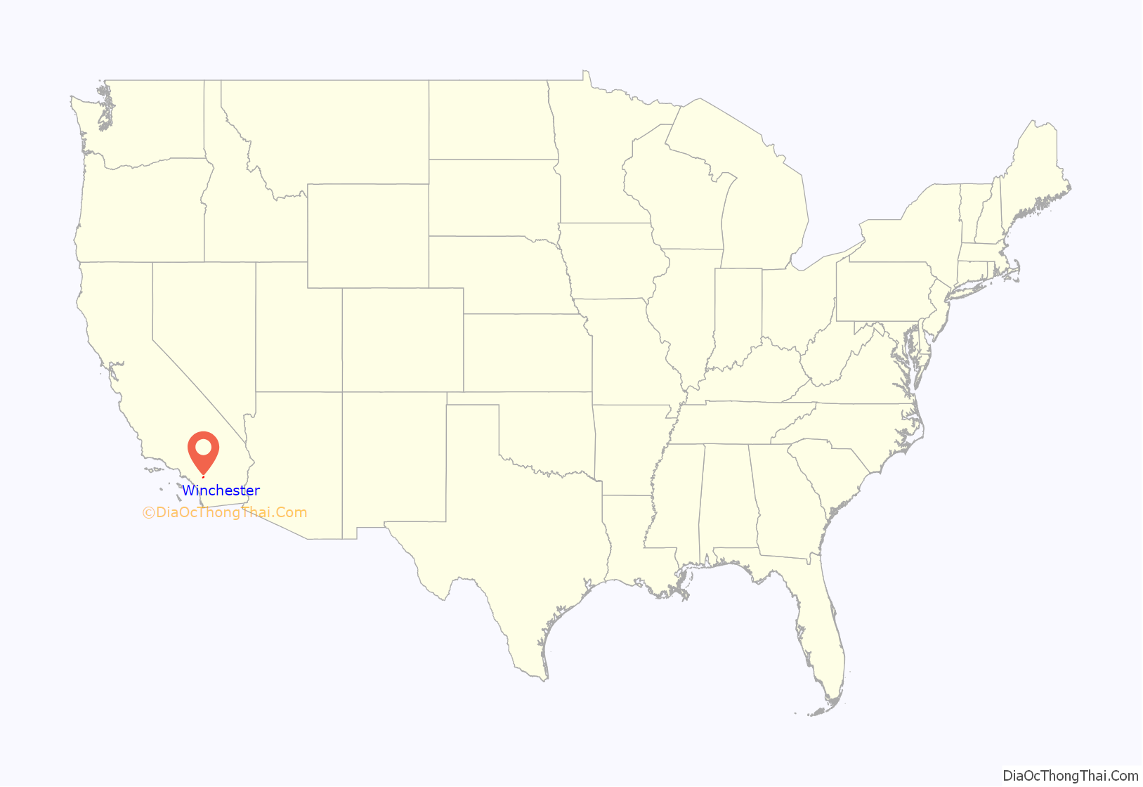
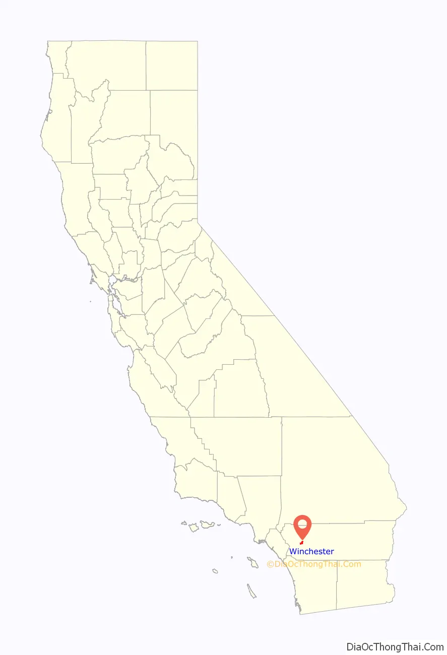
Winchester location map. Where is Winchester CDP?
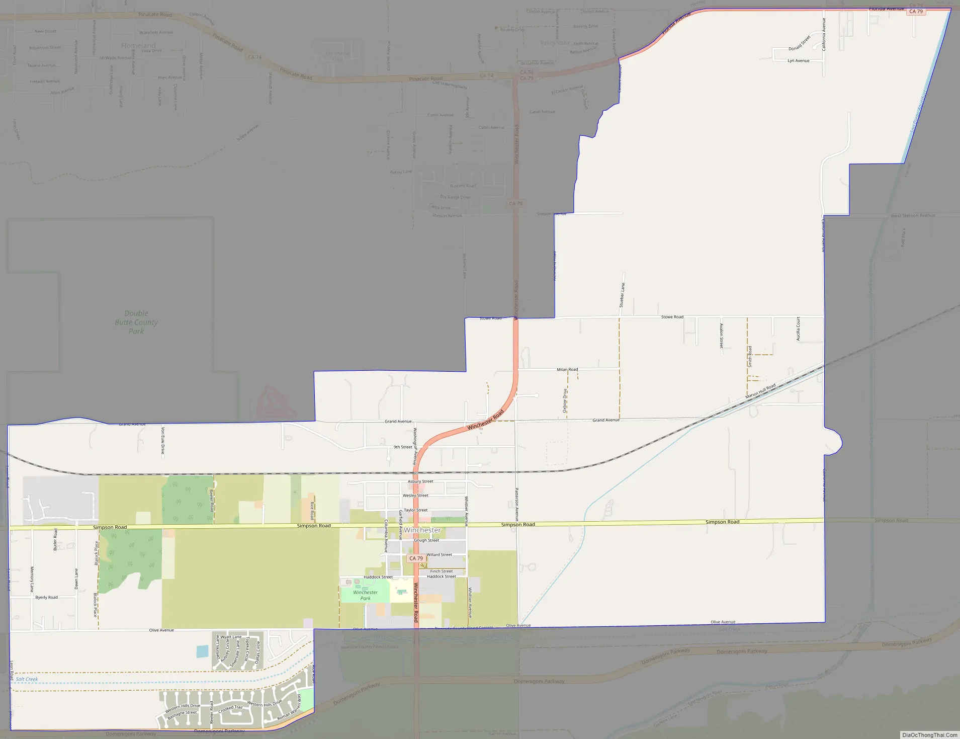
Winchester Road Map
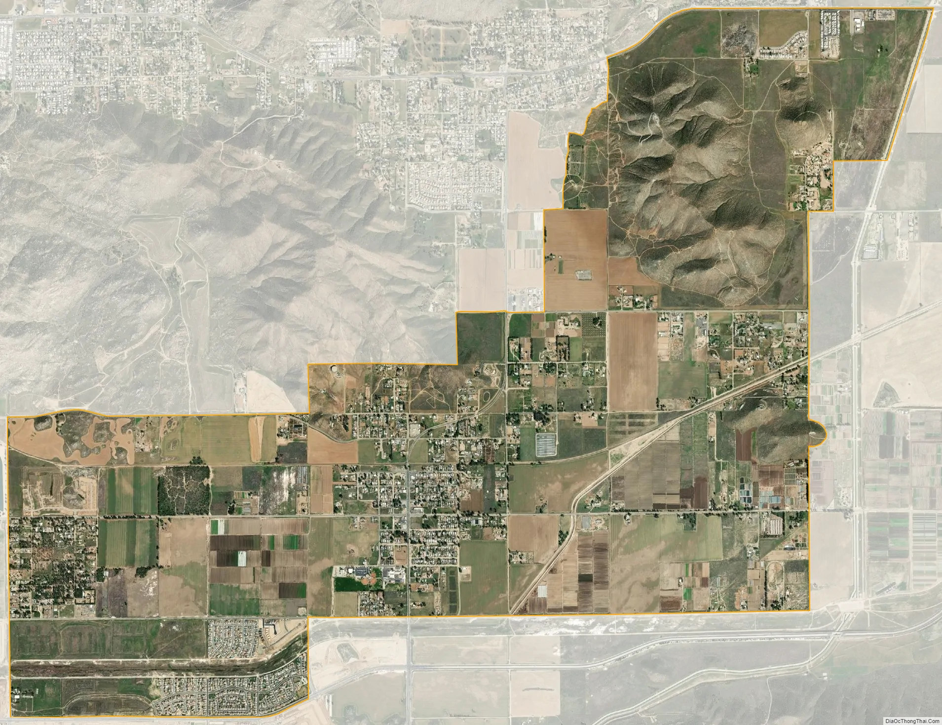
Winchester city Satellite Map
Geography
Winchester is located at 33°42′28″N 117°5′13″W / 33.70778°N 117.08694°W / 33.70778; -117.08694 (33.707871, -117.086861).
According to the United States Census Bureau, the CDP has a total area of 7.7 square miles (20 km), all of it land.
It is approximately 8 miles southwest of the city of Hemet, California.
See also
Map of California State and its subdivision:- Alameda
- Alpine
- Amador
- Butte
- Calaveras
- Colusa
- Contra Costa
- Del Norte
- El Dorado
- Fresno
- Glenn
- Humboldt
- Imperial
- Inyo
- Kern
- Kings
- Lake
- Lassen
- Los Angeles
- Madera
- Marin
- Mariposa
- Mendocino
- Merced
- Modoc
- Mono
- Monterey
- Napa
- Nevada
- Orange
- Placer
- Plumas
- Riverside
- Sacramento
- San Benito
- San Bernardino
- San Diego
- San Francisco
- San Joaquin
- San Luis Obispo
- San Mateo
- Santa Barbara
- Santa Clara
- Santa Cruz
- Shasta
- Sierra
- Siskiyou
- Solano
- Sonoma
- Stanislaus
- Sutter
- Tehama
- Trinity
- Tulare
- Tuolumne
- Ventura
- Yolo
- Yuba
- Alabama
- Alaska
- Arizona
- Arkansas
- California
- Colorado
- Connecticut
- Delaware
- District of Columbia
- Florida
- Georgia
- Hawaii
- Idaho
- Illinois
- Indiana
- Iowa
- Kansas
- Kentucky
- Louisiana
- Maine
- Maryland
- Massachusetts
- Michigan
- Minnesota
- Mississippi
- Missouri
- Montana
- Nebraska
- Nevada
- New Hampshire
- New Jersey
- New Mexico
- New York
- North Carolina
- North Dakota
- Ohio
- Oklahoma
- Oregon
- Pennsylvania
- Rhode Island
- South Carolina
- South Dakota
- Tennessee
- Texas
- Utah
- Vermont
- Virginia
- Washington
- West Virginia
- Wisconsin
- Wyoming


