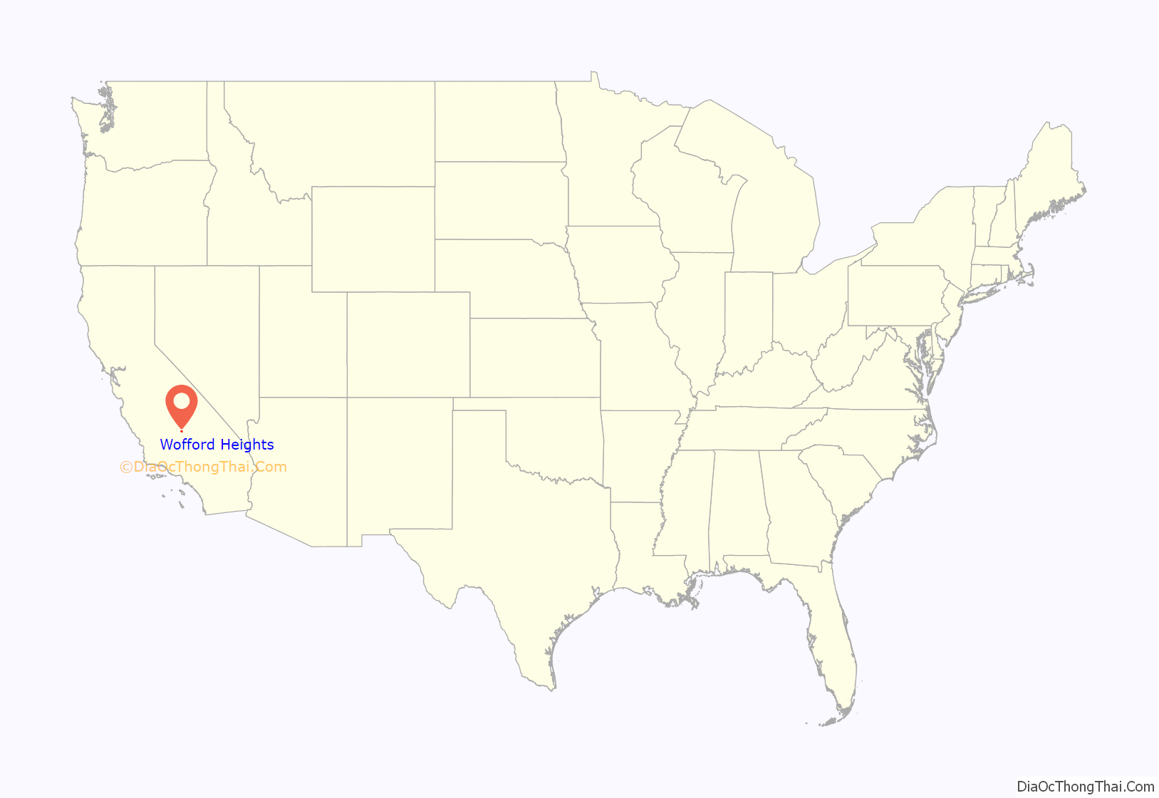
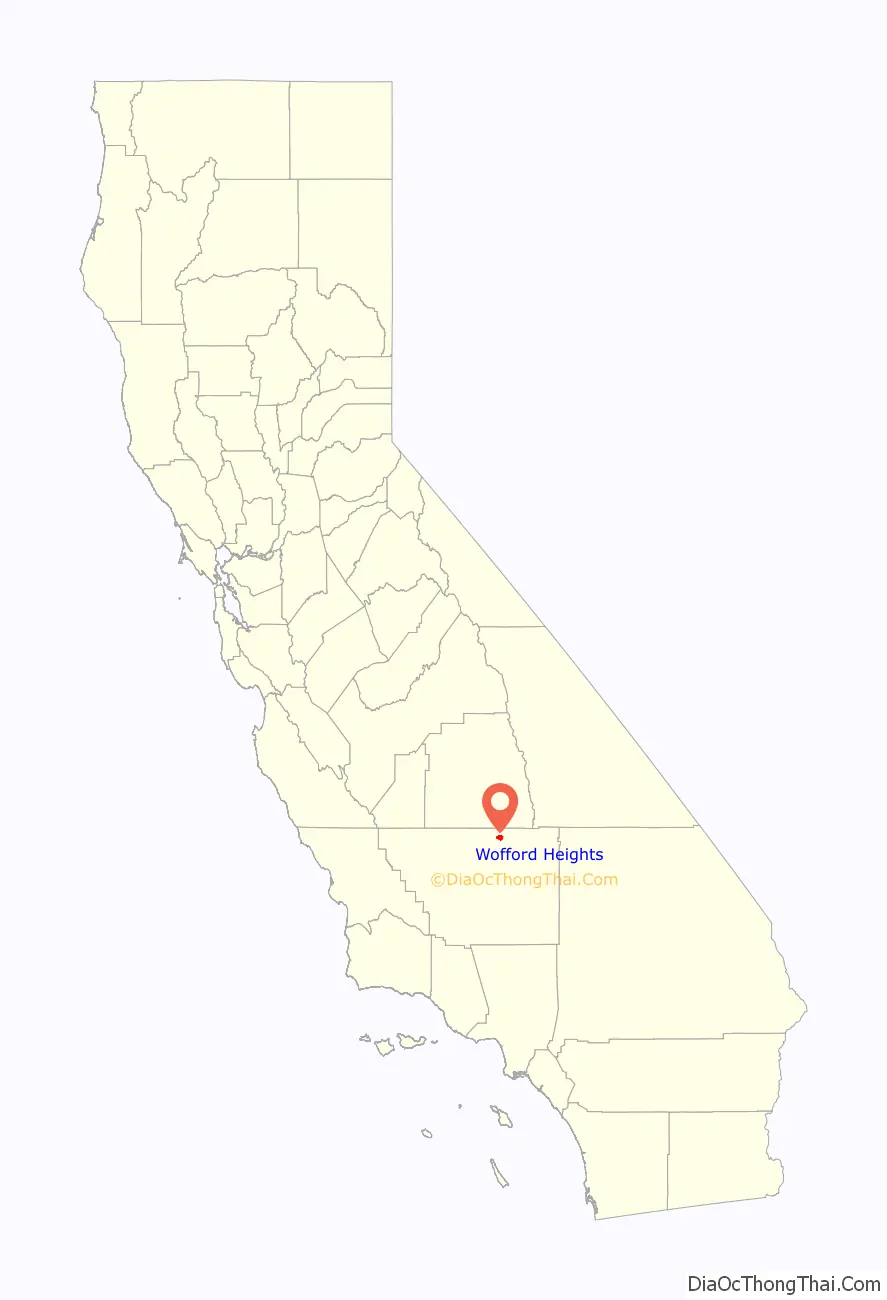
Wofford Heights is a census-designated place (CDP) in the southern Sierra Nevada, in Kern County, California, United States. Wofford Heights is located in the west Kern River Valley, 3.5 miles (5.6 km) south-southwest of Kernville, at an elevation of 2,684 feet (818 m). The population was 2,200 at the 2010 census, down from 2,276 at the 2000 census.
| Name: | Wofford Heights CDP |
|---|---|
| LSAD Code: | 57 |
| LSAD Description: | CDP (suffix) |
| State: | California |
| County: | Kern County |
| Elevation: | 2,684 ft (818 m) |
| Total Area: | 6.057 sq mi (15.689 km²) |
| Land Area: | 6.057 sq mi (15.688 km²) |
| Water Area: | 0 sq mi (0 km²) 0% |
| Total Population: | 2,200 |
| Population Density: | 360/sq mi (140/km²) |
| ZIP code: | 93285 |
| FIPS code: | 0686174 |
| GNISfeature ID: | 1661706 |
Online Interactive Map
Click on ![]() to view map in "full screen" mode.
to view map in "full screen" mode.
Wofford Heights location map. Where is Wofford Heights CDP?
History
I.L. Wofford founded the community as a resort in 1948. The Wofford Heights post office opened in 1953. It was a location for the 1970 biker film Angels Die Hard.
In 2016 the Erskine and Cedar fires burned more than 77,000 acres and more than 300 structures. As of 2019 the Lake Isabella area was considered a “very high fire hazard severity zone” due to desert winds and the nearby Sequoia National Forest. In addition, the median age of residents is 62, and many live on narrow roads which would be poor escape routes.
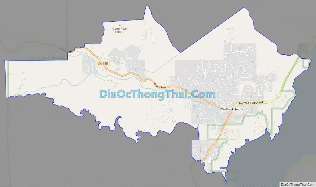
Wofford Heights Road Map
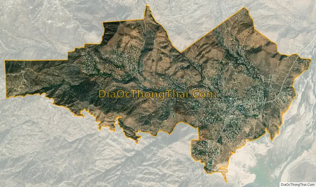
Wofford Heights city Satellite Map
Geography
Wofford Heights is located at 35°42′25″N 118°27′22″W / 35.70694°N 118.45611°W / 35.70694; -118.45611. California State Route 155 is the only highway in Wofford Heights, leading south to Lake Isabella and west through Alta Sierra and the Greenhorn Mountains.
According to the United States Census Bureau, the CDP has a total area of 6.1 square miles (16 km), all of it land.
Climate
According to the Köppen Climate Classification system, Wofford Heights has a semi-arid climate, abbreviated “BSk” on climate maps. Here, the summers can be brutal and have reached as high as 113 °F (45 °C) while the winters are a bit more mild and have gone as low as −3 °F (−19 °C). Wofford Heights’ eastern front borders Lake Isabella. There are two major access points to the lake from Wofford Blvd: The first is the entrance to North Fork Marina and Tillie Creek Campground, and the second is Freear which is at the very end of East Evans Road near Wofford Heights Park.
See also
Map of California State and its subdivision:- Alameda
- Alpine
- Amador
- Butte
- Calaveras
- Colusa
- Contra Costa
- Del Norte
- El Dorado
- Fresno
- Glenn
- Humboldt
- Imperial
- Inyo
- Kern
- Kings
- Lake
- Lassen
- Los Angeles
- Madera
- Marin
- Mariposa
- Mendocino
- Merced
- Modoc
- Mono
- Monterey
- Napa
- Nevada
- Orange
- Placer
- Plumas
- Riverside
- Sacramento
- San Benito
- San Bernardino
- San Diego
- San Francisco
- San Joaquin
- San Luis Obispo
- San Mateo
- Santa Barbara
- Santa Clara
- Santa Cruz
- Shasta
- Sierra
- Siskiyou
- Solano
- Sonoma
- Stanislaus
- Sutter
- Tehama
- Trinity
- Tulare
- Tuolumne
- Ventura
- Yolo
- Yuba
- Alabama
- Alaska
- Arizona
- Arkansas
- California
- Colorado
- Connecticut
- Delaware
- District of Columbia
- Florida
- Georgia
- Hawaii
- Idaho
- Illinois
- Indiana
- Iowa
- Kansas
- Kentucky
- Louisiana
- Maine
- Maryland
- Massachusetts
- Michigan
- Minnesota
- Mississippi
- Missouri
- Montana
- Nebraska
- Nevada
- New Hampshire
- New Jersey
- New Mexico
- New York
- North Carolina
- North Dakota
- Ohio
- Oklahoma
- Oregon
- Pennsylvania
- Rhode Island
- South Carolina
- South Dakota
- Tennessee
- Texas
- Utah
- Vermont
- Virginia
- Washington
- West Virginia
- Wisconsin
- Wyoming


