Altoona is an unincorporated community and census-designated place (CDP) in Lake County, Florida, United States. The population was 89 at the 2010 census. It is part of the Orlando–Kissimmee–Sanford Metropolitan Statistical Area.
| Name: | Altoona CDP |
|---|---|
| LSAD Code: | 57 |
| LSAD Description: | CDP (suffix) |
| State: | Florida |
| County: | Lake County |
| Elevation: | 98 ft (30 m) |
| Total Area: | 0.47 sq mi (1.23 km²) |
| Land Area: | 0.45 sq mi (1.17 km²) |
| Water Area: | 0.02 sq mi (0.06 km²) |
| Total Population: | 98 |
| Population Density: | 217.78/sq mi (84.04/km²) |
| ZIP code: | 32702 |
| Area code: | 352 |
| FIPS code: | 1201050 |
| GNISfeature ID: | 2402641 |
Online Interactive Map
Click on ![]() to view map in "full screen" mode.
to view map in "full screen" mode.
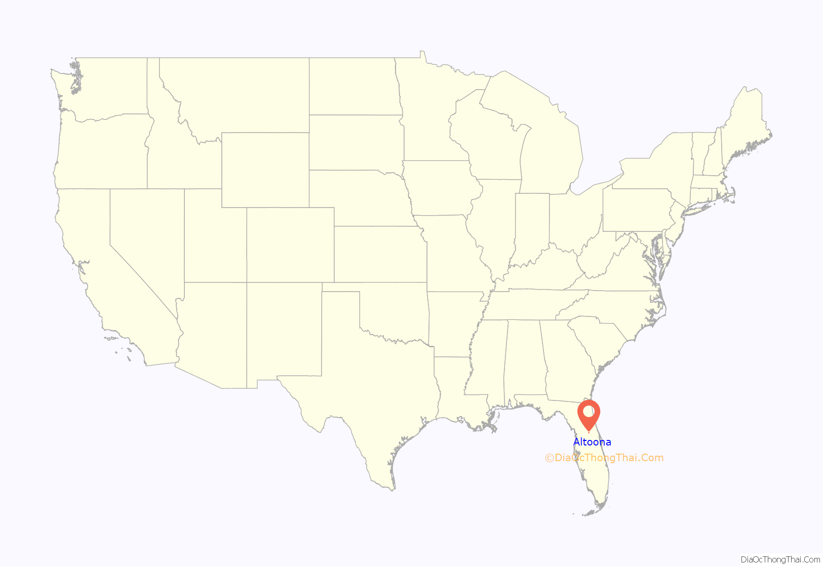
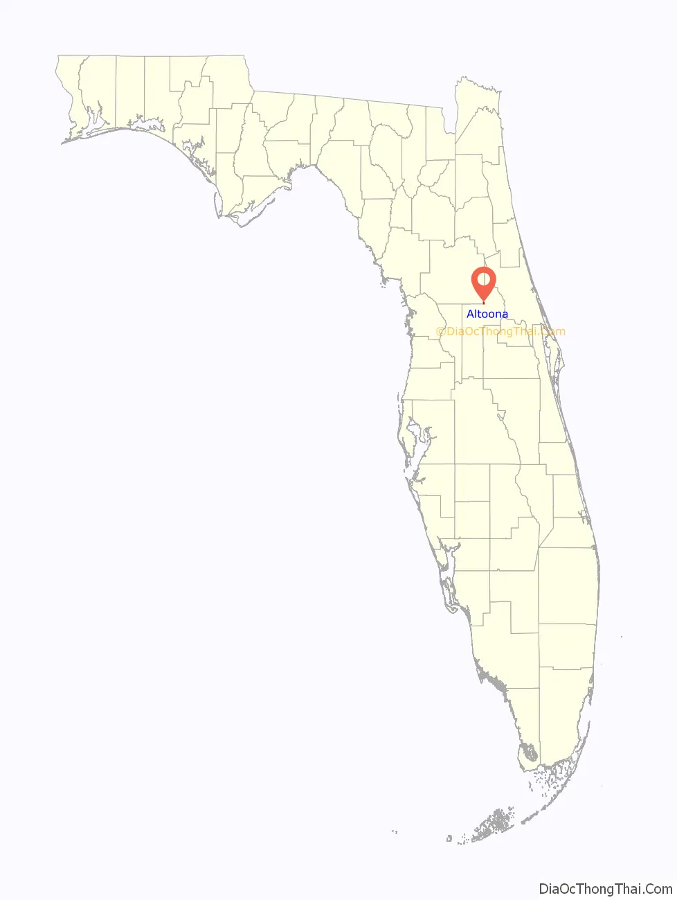
Altoona location map. Where is Altoona CDP?
History
Altoona was either named after Thomas Jefferson Hinson’s hometown of Allatoona, Georgia, or after Altoona, Pennsylvania, which was the hometown of Augustus Gottschee, the first merchant in this settlement. Altoona became an incorporated municipality on February 12, 1887. The town was abolished on May 27, 1899, following a fire that wiped out most of its buildings and reduced its tax base to near zero.
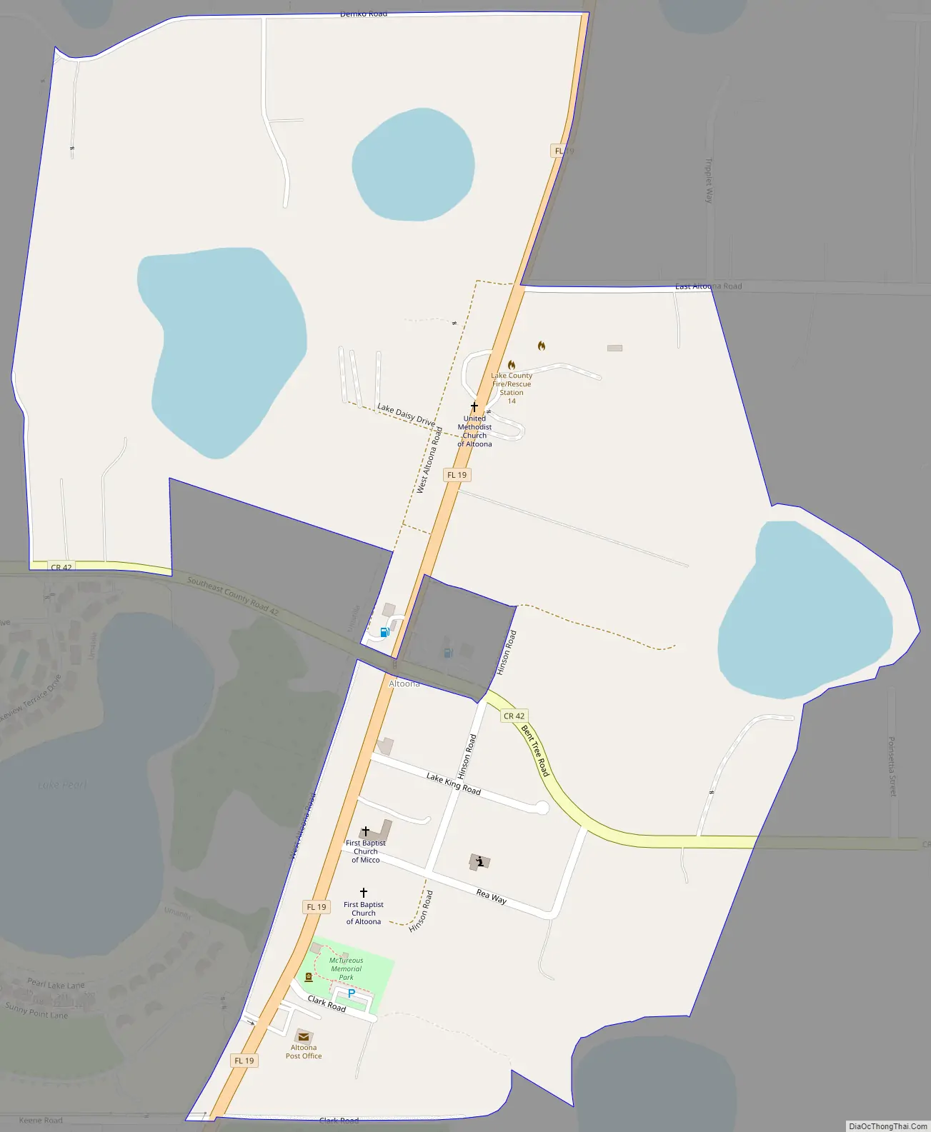
Altoona Road Map
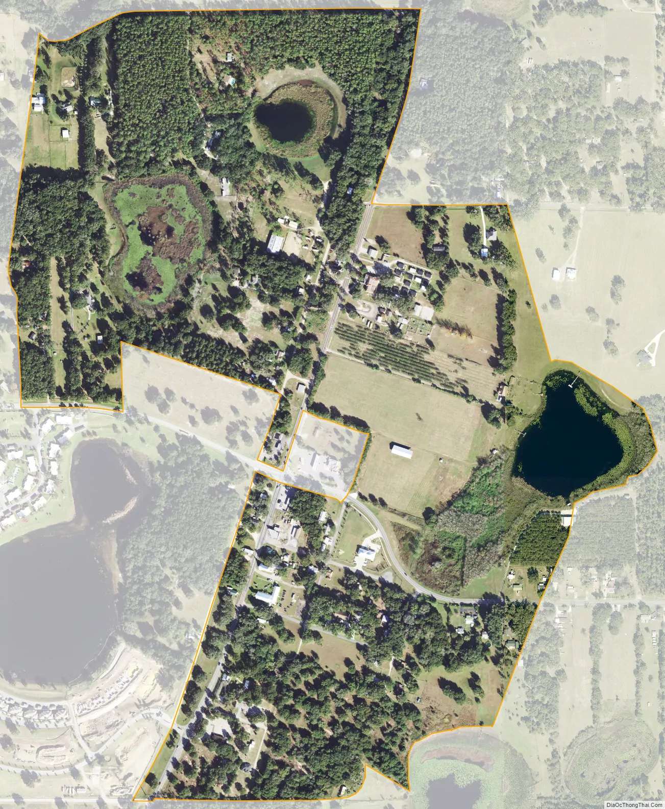
Altoona city Satellite Map
Geography
Altoona is located in northeastern Lake County at 28°57′57″N 81°38′54″W / 28.96583°N 81.64833°W / 28.96583; -81.64833 (28.965742, -81.648453). Florida State Road 19 passes through the center of town, leading south 8 miles (13 km) to Eustis and 14 miles (23 km) to Tavares, the county seat. To the north, SR 19 enters the Ocala National Forest and leads 55 miles (89 km) to Palatka.
According to the United States Census Bureau, the Altoona CDP has a total area of 0.47 square miles (1.23 km), of which 0.02 square miles (0.06 km), or 5.00%, are water.
See also
Map of Florida State and its subdivision:- Alachua
- Baker
- Bay
- Bradford
- Brevard
- Broward
- Calhoun
- Charlotte
- Citrus
- Clay
- Collier
- Columbia
- Desoto
- Dixie
- Duval
- Escambia
- Flagler
- Franklin
- Gadsden
- Gilchrist
- Glades
- Gulf
- Hamilton
- Hardee
- Hendry
- Hernando
- Highlands
- Hillsborough
- Holmes
- Indian River
- Jackson
- Jefferson
- Lafayette
- Lake
- Lee
- Leon
- Levy
- Liberty
- Madison
- Manatee
- Marion
- Martin
- Miami-Dade
- Monroe
- Nassau
- Okaloosa
- Okeechobee
- Orange
- Osceola
- Palm Beach
- Pasco
- Pinellas
- Polk
- Putnam
- Saint Johns
- Saint Lucie
- Santa Rosa
- Sarasota
- Seminole
- Sumter
- Suwannee
- Taylor
- Union
- Volusia
- Wakulla
- Walton
- Washington
- Alabama
- Alaska
- Arizona
- Arkansas
- California
- Colorado
- Connecticut
- Delaware
- District of Columbia
- Florida
- Georgia
- Hawaii
- Idaho
- Illinois
- Indiana
- Iowa
- Kansas
- Kentucky
- Louisiana
- Maine
- Maryland
- Massachusetts
- Michigan
- Minnesota
- Mississippi
- Missouri
- Montana
- Nebraska
- Nevada
- New Hampshire
- New Jersey
- New Mexico
- New York
- North Carolina
- North Dakota
- Ohio
- Oklahoma
- Oregon
- Pennsylvania
- Rhode Island
- South Carolina
- South Dakota
- Tennessee
- Texas
- Utah
- Vermont
- Virginia
- Washington
- West Virginia
- Wisconsin
- Wyoming


