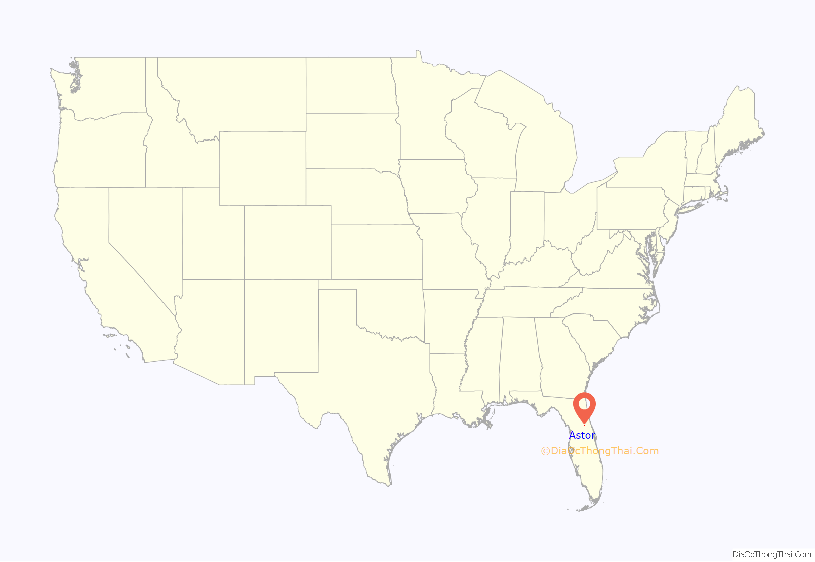
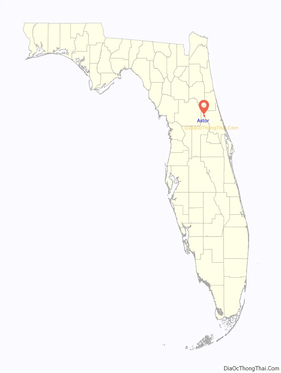
Astor is an unincorporated community and census-designated place (CDP) in Lake County, Florida, United States, located on the west side of the St. Johns River between Lake George and Lake Dexter. The community straddles State Road 40, with the community of Volusia in Volusia County across the St. Johns to the east and Astor Park to the west. The population was 1,556 at the 2010 census. It is part of the Orlando–Kissimmee–Sanford Metropolitan Statistical Area.
| Name: | Astor CDP |
|---|---|
| LSAD Code: | 57 |
| LSAD Description: | CDP (suffix) |
| State: | Florida |
| County: | Lake County |
| Elevation: | 16 ft (5 m) |
| Total Area: | 2.65 sq mi (6.87 km²) |
| Land Area: | 2.33 sq mi (6.05 km²) |
| Water Area: | 0.32 sq mi (0.82 km²) |
| Total Population: | 1,759 |
| Population Density: | 753.32/sq mi (290.89/km²) |
| ZIP code: | 32102 |
| Area code: | 352 386 |
| FIPS code: | 1202275 |
| GNISfeature ID: | 2402654 |
Online Interactive Map
Click on ![]() to view map in "full screen" mode.
to view map in "full screen" mode.
Astor location map. Where is Astor CDP?
History
The Astor area and much of the land along the St. Johns River was inhabited by Timucua natives prior to settlement by Europeans. Early attempts at settlement included an English trading post in 1763, and in 1822 a plantation growing sugar cane and oranges was established by Jewish immigrant Moses Elias Levy. By 1838 the Seminole Wars had begun and the United States government established Fort Butler to defend the river as the primary route of transportation inside Florida. These earliest efforts at settlement all met with failure due to war or disease, and until the 1870s the area was largely deserted.
In 1874, William Backhouse Astor Jr. from New York City’s wealthy Astor family purchased over 12,000 acres (49 km) of land, upon which he began to establish a town he called “Manhattan”. New settlers arrived by steamboat to the town which Astor had endowed with a church, schoolhouse, botanical garden, and free cemetery. William Astor also built a hotel, saw mill, and eventually a railroad, the St. Johns and Lake Eustis Railway, which headed southwest towards the communities of Eustis and Leesburg. A few miles to the west of town, a satellite community called Astor Park grew up along the shore of Lake Schimmerhorn (named for Astor’s wife, Caroline Schermerhorn Astor). Over the next twenty years Astor saw his town grow, but the Manhattan name never caught on. When William Astor died in 1892, the town was officially renamed “Astor” in his honor.
John Jacob Astor IV inherited his father William’s estate and continued to promote the town and their business interests in Florida. Following his demise in the sinking of the RMS Titanic in 1912, the estate passed to his son, Vincent. William Vincent Astor was not interested in his grandfather’s Florida enterprises, and so the Astor family’s interests in the area were sold. This, combined with a severe decline in steamboat travel on the St. Johns due to increased availability of rail travel, signaled the end of the town’s prosperity and prominence. The first Astor Bridge was built in 1926; by 1928, Astor’s hotel had burned down and the railroad was abandoned, leaving Astor without telephone or telegraph service for the next few decades.
Today the community of Astor is largely reliant upon tourism, and is a popular spot for winter visitors from the north and for fishing, hunting, and boating enthusiasts.
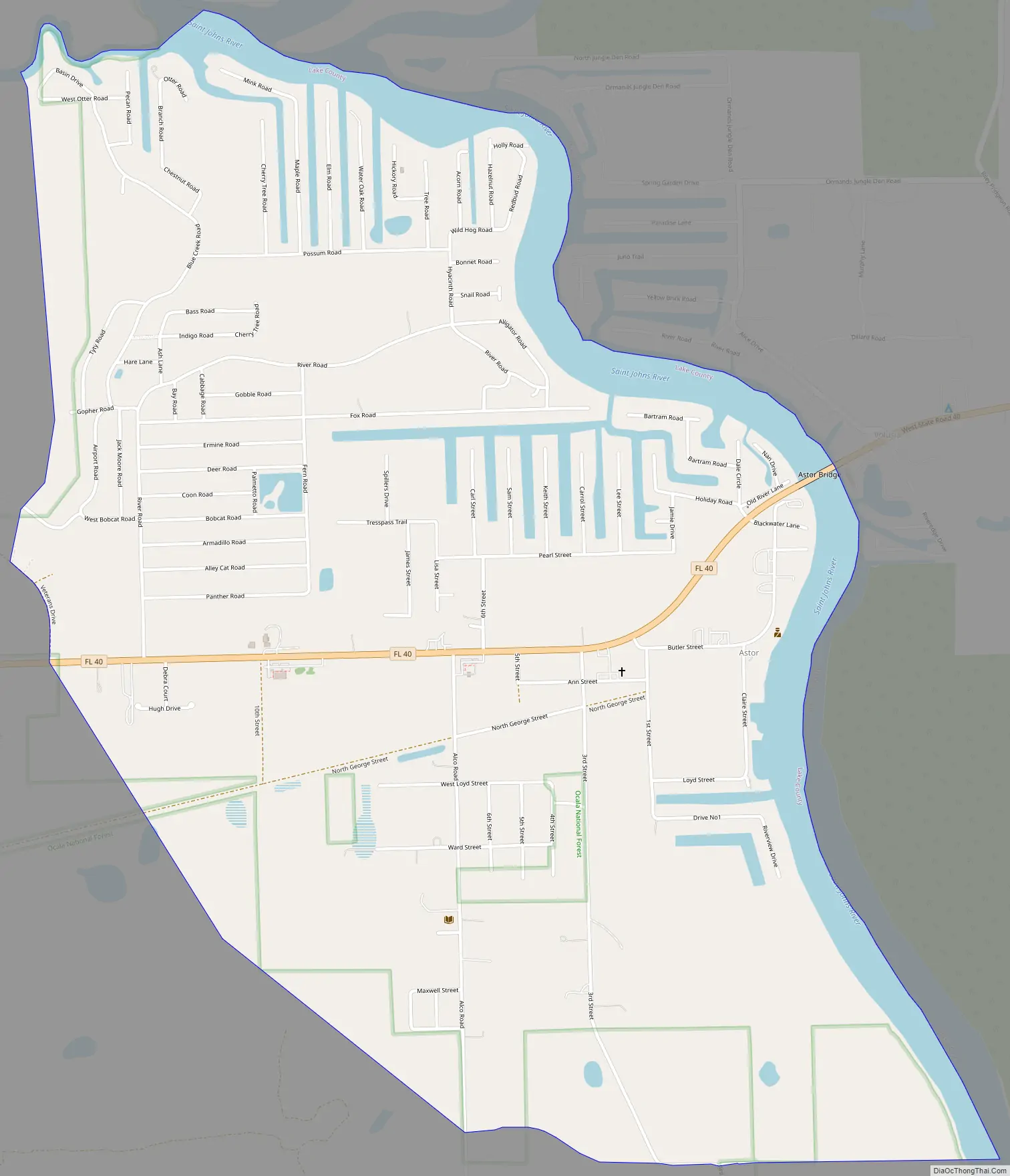
Astor Road Map
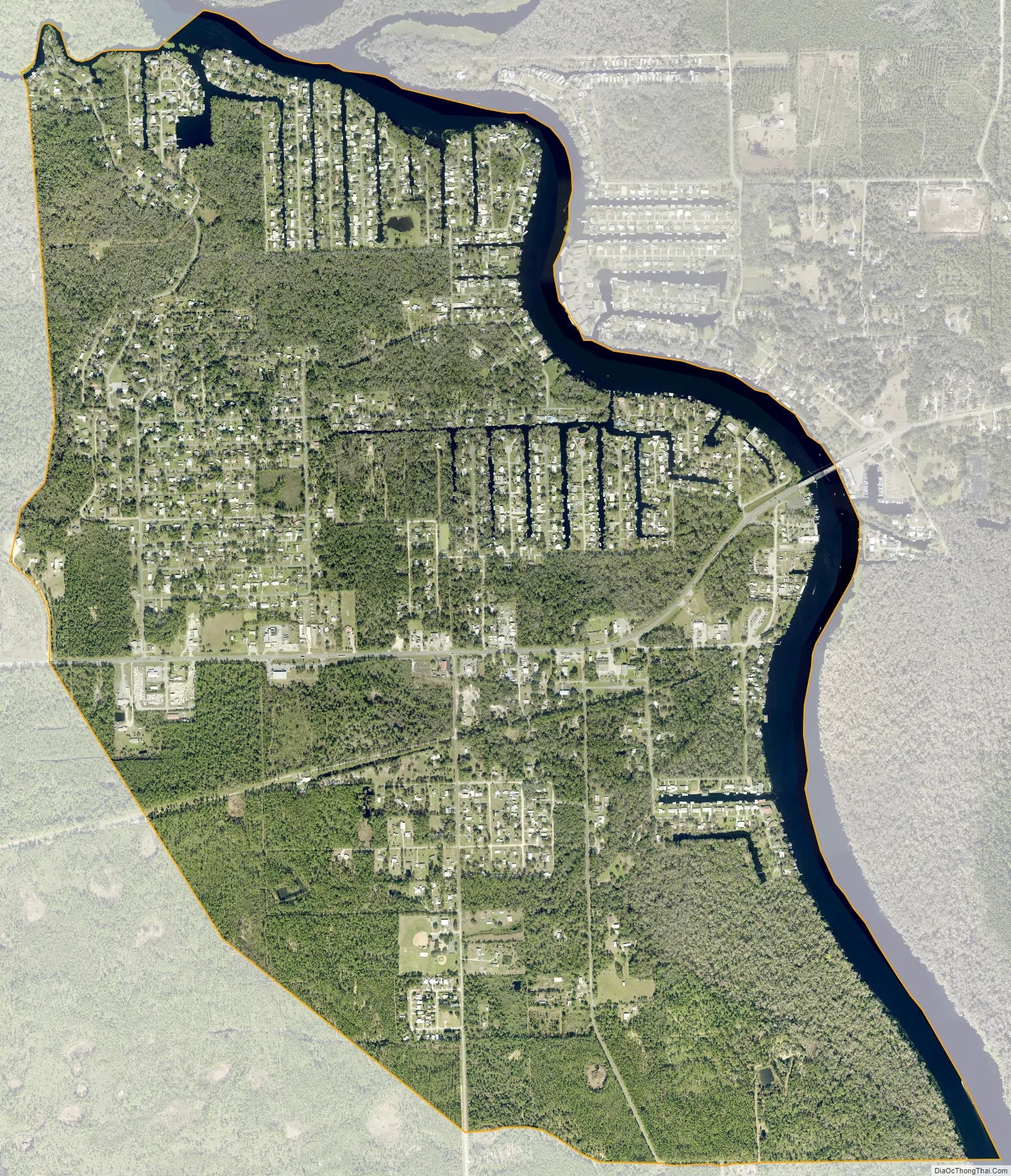
Astor city Satellite Map
Geography
Astor is located in northern Lake County at 29°10′N 81°32′W / 29.167°N 81.533°W / 29.167; -81.533 (29.1639, -81.5346). Via State Road 40, it is 31 miles (50 km) west of Ormond Beach and 39 miles (63 km) east of Ocala. Tavares, the county seat of Lake County, is 32 miles (51 km) to the southwest via SR 40 and SR 19.
According to the United States Census Bureau, the Astor CDP has a total area of 2.7 square miles (6.9 km), of which 2.3 square miles (6.0 km) are land and 0.3 square miles (0.8 km), or 11.93%, are water. Astor’s water area includes the west half of the St. John’s River and a network of canals, extending over 4 miles (6 km) in total length, providing river access for many of its residents. Astor lies entirely within the boundaries of the Ocala National Forest.
See also
Map of Florida State and its subdivision:- Alachua
- Baker
- Bay
- Bradford
- Brevard
- Broward
- Calhoun
- Charlotte
- Citrus
- Clay
- Collier
- Columbia
- Desoto
- Dixie
- Duval
- Escambia
- Flagler
- Franklin
- Gadsden
- Gilchrist
- Glades
- Gulf
- Hamilton
- Hardee
- Hendry
- Hernando
- Highlands
- Hillsborough
- Holmes
- Indian River
- Jackson
- Jefferson
- Lafayette
- Lake
- Lee
- Leon
- Levy
- Liberty
- Madison
- Manatee
- Marion
- Martin
- Miami-Dade
- Monroe
- Nassau
- Okaloosa
- Okeechobee
- Orange
- Osceola
- Palm Beach
- Pasco
- Pinellas
- Polk
- Putnam
- Saint Johns
- Saint Lucie
- Santa Rosa
- Sarasota
- Seminole
- Sumter
- Suwannee
- Taylor
- Union
- Volusia
- Wakulla
- Walton
- Washington
- Alabama
- Alaska
- Arizona
- Arkansas
- California
- Colorado
- Connecticut
- Delaware
- District of Columbia
- Florida
- Georgia
- Hawaii
- Idaho
- Illinois
- Indiana
- Iowa
- Kansas
- Kentucky
- Louisiana
- Maine
- Maryland
- Massachusetts
- Michigan
- Minnesota
- Mississippi
- Missouri
- Montana
- Nebraska
- Nevada
- New Hampshire
- New Jersey
- New Mexico
- New York
- North Carolina
- North Dakota
- Ohio
- Oklahoma
- Oregon
- Pennsylvania
- Rhode Island
- South Carolina
- South Dakota
- Tennessee
- Texas
- Utah
- Vermont
- Virginia
- Washington
- West Virginia
- Wisconsin
- Wyoming


