Country Walk is a census-designated place (CDP) in Miami-Dade County, Florida, United States. The population was 16,951 at the 2020 census, up from 15,997 at the 2010 census.
| Name: | Country Walk CDP |
|---|---|
| LSAD Code: | 57 |
| LSAD Description: | CDP (suffix) |
| State: | Florida |
| County: | Miami-Dade County |
| Elevation: | 7 ft (2 m) |
| Total Area: | 2.62 sq mi (6.78 km²) |
| Land Area: | 2.58 sq mi (6.68 km²) |
| Water Area: | 0.04 sq mi (0.10 km²) |
| Total Population: | 16,951 |
| Population Density: | 6,572.70/sq mi (2,537.79/km²) |
| FIPS code: | 1215055 |
| GNISfeature ID: | 1853243 |
Online Interactive Map
Click on ![]() to view map in "full screen" mode.
to view map in "full screen" mode.
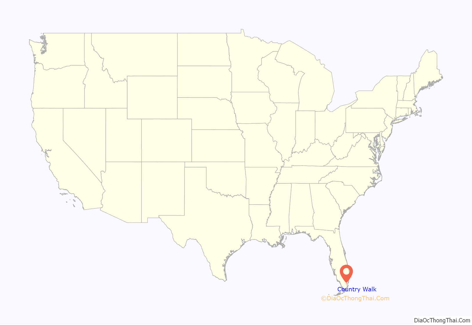
Country Walk location map. Where is Country Walk CDP?
History
The Country Walk community was originally designed and built by the Disney-owned Arvida Corporation. Country Walk Arvida broke ground on the first homes in 1978 and construction finished in 1994.
In 1985, Janet Reno prosecuted the Country Walk case, allegedly an example of day-care sex-abuse hysteria. The Arvida Corp. paid settlements of over $5 million to alleged victims in this case.
In August 1992, Country Walk was severely destroyed by Hurricane Andrew. 90% of the 1,700 homes in Country Walk were destroyed. Following the hurricane, property owners filed lawsuits against the developer of Country Walk, Arvida for shoddy construction. In the subsequent years, the homes were slowly rebuilt. Unlike the destroyed homes which were made of wood frame construction, the new homes were rebuilt with concrete walls. Although many areas of Miami were heavily affected by Hurricane Andrew, Country Walk was one of the worst affected and remains a reminder of the hurricane’s extensive disaster in the CDP today.
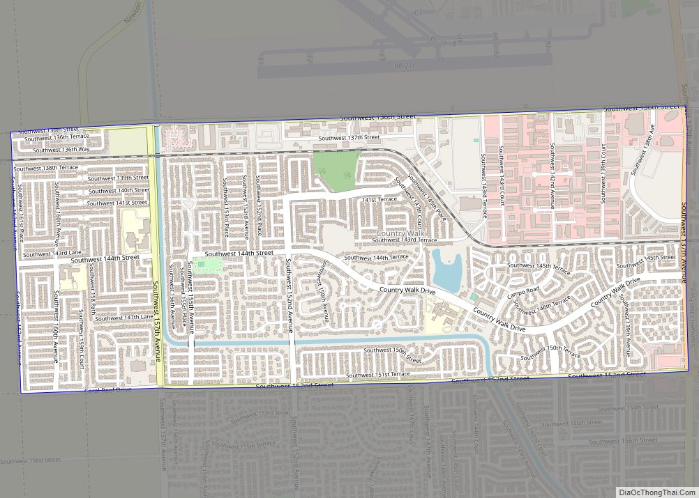
Country Walk Road Map
Country Walk city Satellite Map
Geography
Country Walk is located 19 miles (31 km) southwest of downtown Miami at 25°37′56″N 80°26′6″W / 25.63222°N 80.43500°W / 25.63222; -80.43500 (25.632332, -80.434956). It is bordered to the east by Three Lakes, to the south by Richmond West, to the west by farmland, and to the north by Miami Executive Airport. The community’s borders are Florida State Road 825 (SW 137th Avenue) to the east, State Road 992 (Coral Reef Drive) to the south, SW 162nd Avenue to the west, and SW 136th Street to the north.
According to the United States Census Bureau, the CDP has a total area of 2.6 square miles (6.7 km), of which 0.04 square miles (0.10 km), or 1.53%, are water.
See also
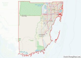
Map of Florida State and its subdivision:- Alachua
- Baker
- Bay
- Bradford
- Brevard
- Broward
- Calhoun
- Charlotte
- Citrus
- Clay
- Collier
- Columbia
- Desoto
- Dixie
- Duval
- Escambia
- Flagler
- Franklin
- Gadsden
- Gilchrist
- Glades
- Gulf
- Hamilton
- Hardee
- Hendry
- Hernando
- Highlands
- Hillsborough
- Holmes
- Indian River
- Jackson
- Jefferson
- Lafayette
- Lake
- Lee
- Leon
- Levy
- Liberty
- Madison
- Manatee
- Marion
- Martin
- Miami-Dade
- Monroe
- Nassau
- Okaloosa
- Okeechobee
- Orange
- Osceola
- Palm Beach
- Pasco
- Pinellas
- Polk
- Putnam
- Saint Johns
- Saint Lucie
- Santa Rosa
- Sarasota
- Seminole
- Sumter
- Suwannee
- Taylor
- Union
- Volusia
- Wakulla
- Walton
- Washington
- Alabama
- Alaska
- Arizona
- Arkansas
- California
- Colorado
- Connecticut
- Delaware
- District of Columbia
- Florida
- Georgia
- Hawaii
- Idaho
- Illinois
- Indiana
- Iowa
- Kansas
- Kentucky
- Louisiana
- Maine
- Maryland
- Massachusetts
- Michigan
- Minnesota
- Mississippi
- Missouri
- Montana
- Nebraska
- Nevada
- New Hampshire
- New Jersey
- New Mexico
- New York
- North Carolina
- North Dakota
- Ohio
- Oklahoma
- Oregon
- Pennsylvania
- Rhode Island
- South Carolina
- South Dakota
- Tennessee
- Texas
- Utah
- Vermont
- Virginia
- Washington
- West Virginia
- Wisconsin
- Wyoming
