DeLeon Springs (/dəˈliːən/) is a census-designated place (CDP) in Volusia County, Florida, United States. The population was 2,614 at the 2010 census. De Leon Springs State Park is located in DeLeon Springs, as is the Strawn Historic Citrus Packing House District.
| Name: | De Leon Springs CDP |
|---|---|
| LSAD Code: | 57 |
| LSAD Description: | CDP (suffix) |
| State: | Florida |
| County: | Volusia County |
| Elevation: | 49 ft (15 m) |
| Total Area: | 2.70 sq mi (6.98 km²) |
| Land Area: | 2.70 sq mi (6.98 km²) |
| Water Area: | 0.00 sq mi (0.00 km²) |
| Total Population: | 2,619 |
| Population Density: | 971.44/sq mi (375.13/km²) |
| ZIP code: | 32130 |
| Area code: | 386 |
| FIPS code: | 1216975 |
| GNISfeature ID: | 0281361 |
Online Interactive Map
Click on ![]() to view map in "full screen" mode.
to view map in "full screen" mode.
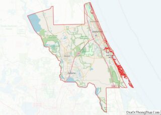
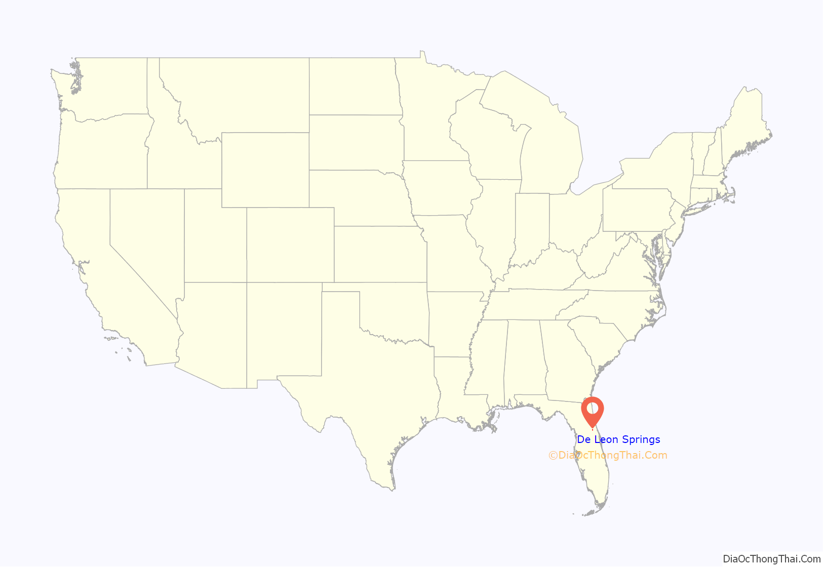
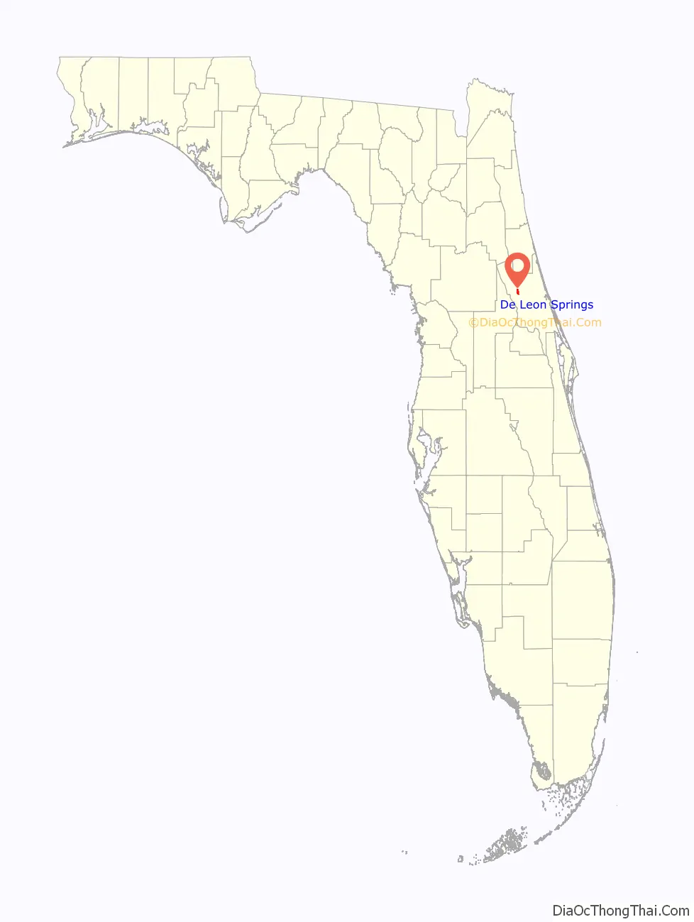
De Leon Springs location map. Where is De Leon Springs CDP?
History
DeLeon Springs is named for Juan Ponce de León. It was originally called Spring Garden and the name was changed in the late 1800s to attract tourists. The region was developed in 1925 with a hotel/restaurant the DeLeon Spring Inn, later called the Ponce de Leon Springs Hotel, which was expanded into a larger tourist attraction in 1953. The attraction and surrounding area were purchased by the State of Florida to become a state park in 1982.
Gristmill house at DeLeon Springs, ca. 1910
Ponce de Leon Springs Hotel in 1924
DeLeon Springs Colored School, now Malloy School
Building in Strawn Historic Agricultural District
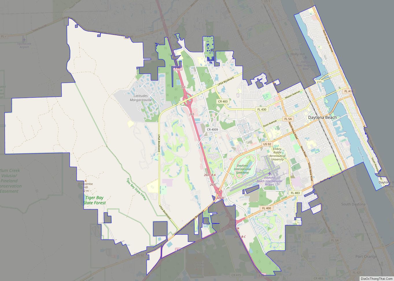
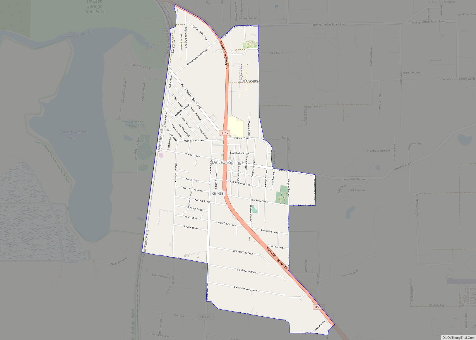
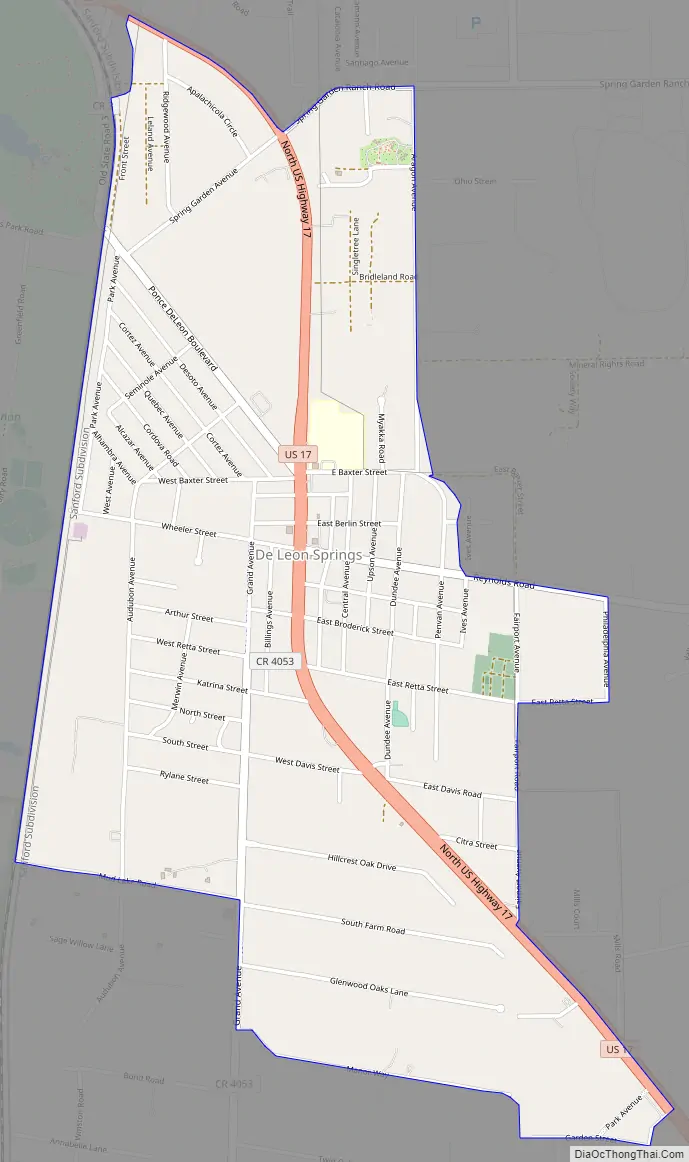
De Leon Springs Road Map
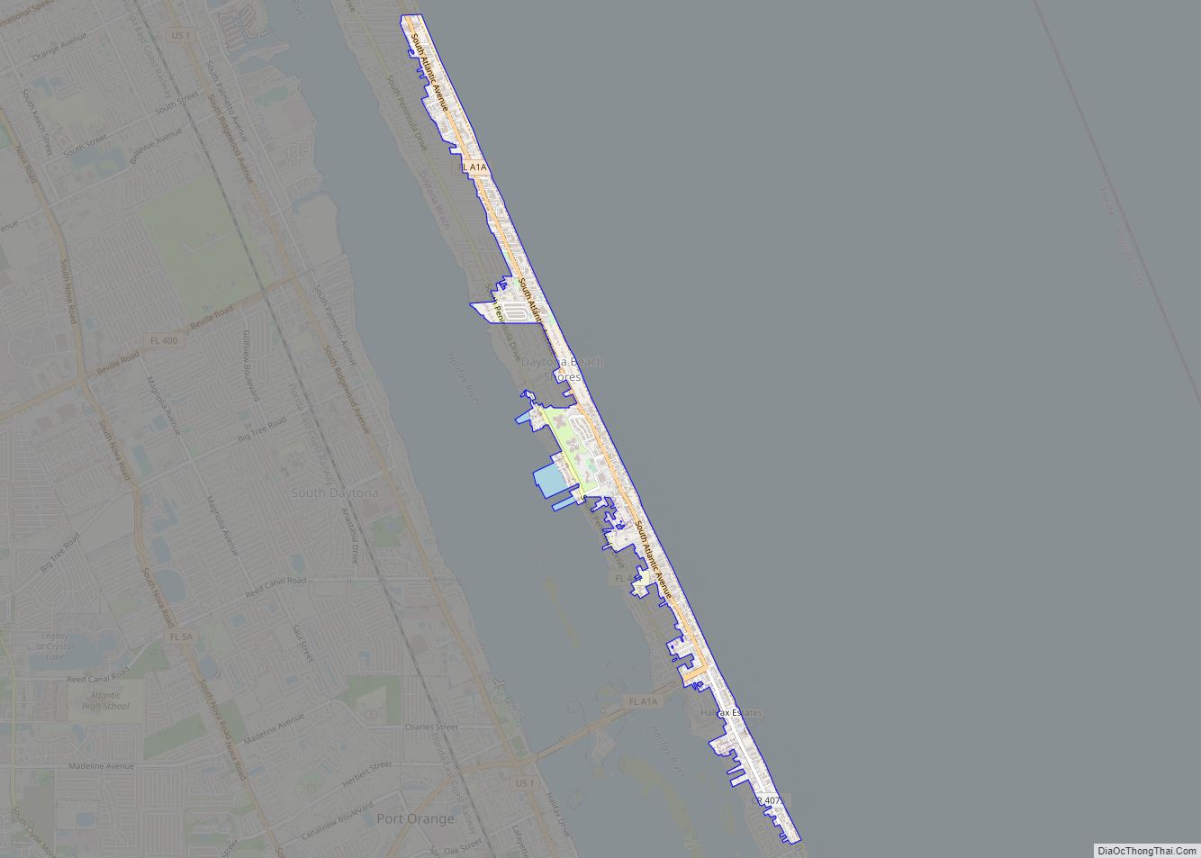
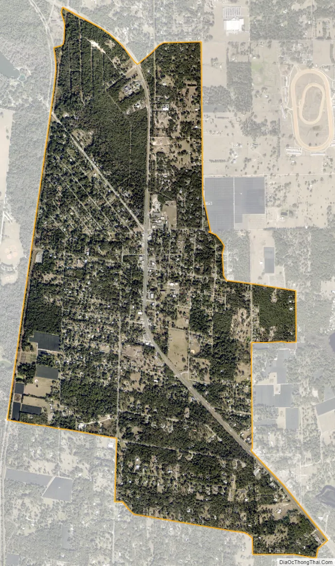
De Leon Springs city Satellite Map
Geography
DeLeon Springs is located at 29°7′13″N 81°21′11″W / 29.12028°N 81.35306°W / 29.12028; -81.35306 (29.120268, -81.352988).
According to the United States Census Bureau, the CDP has a total area of 6.8 km (2.6 mi), all land.
See also
Map of Florida State and its subdivision:- Alachua
- Baker
- Bay
- Bradford
- Brevard
- Broward
- Calhoun
- Charlotte
- Citrus
- Clay
- Collier
- Columbia
- Desoto
- Dixie
- Duval
- Escambia
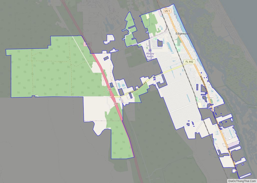
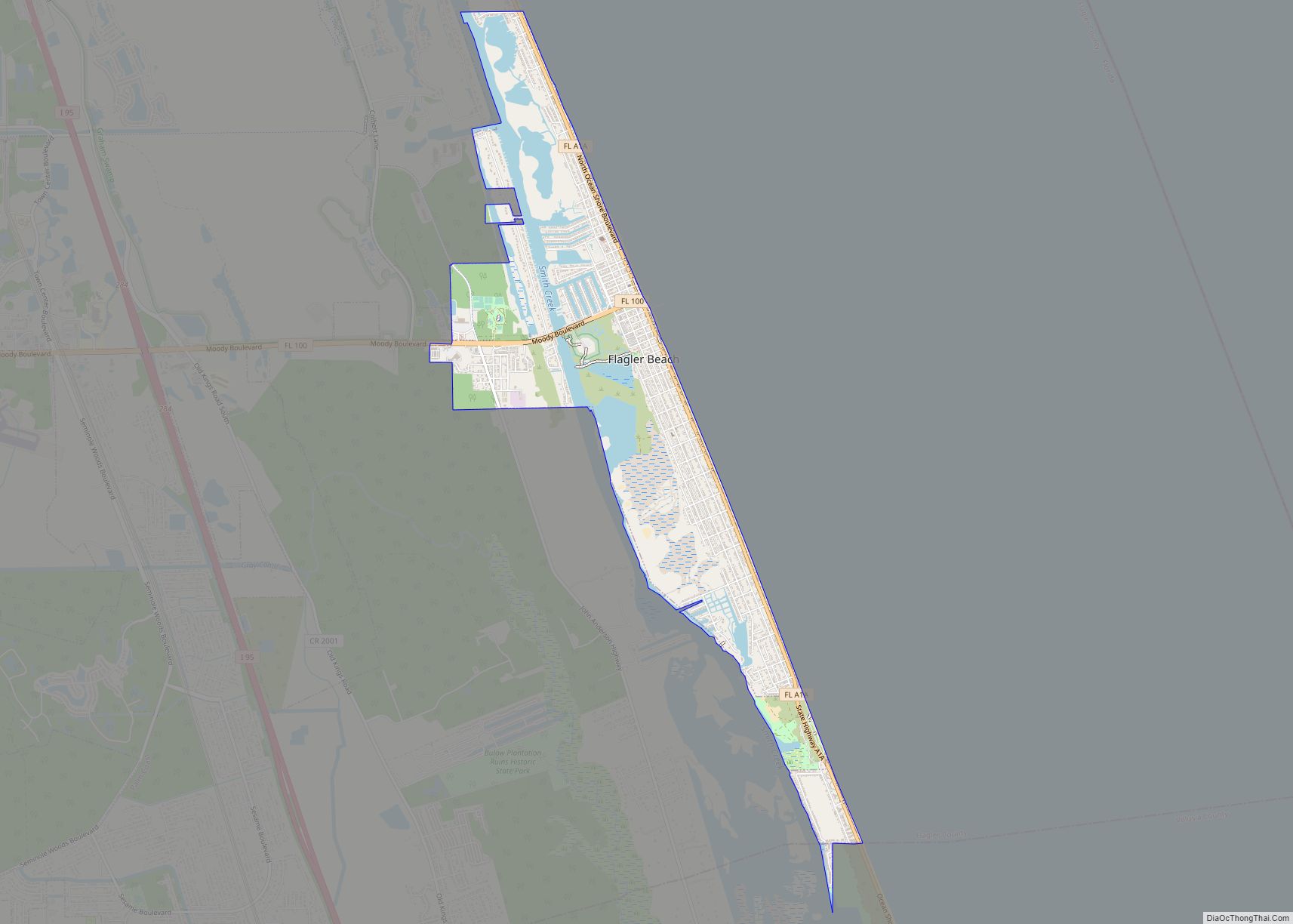
- Flagler
- Franklin
- Gadsden
- Gilchrist
- Glades
- Gulf
- Hamilton
- Hardee
- Hendry
- Hernando
- Highlands
- Hillsborough
- Holmes
- Indian River
- Jackson
- Jefferson
- Lafayette
- Lake
- Lee
- Leon
- Levy
- Liberty
- Madison
- Manatee
- Marion
- Martin
- Miami-Dade
- Monroe
- Nassau
- Okaloosa
- Okeechobee
- Orange
- Osceola
- Palm Beach
- Pasco
- Pinellas
- Polk
- Putnam
- Saint Johns
- Saint Lucie
- Santa Rosa
- Sarasota
- Seminole
- Sumter
- Suwannee
- Taylor
- Union
- Volusia
- Wakulla
- Walton
- Washington
- Alabama
- Alaska
- Arizona
- Arkansas
- California
- Colorado
- Connecticut
- Delaware
- District of Columbia
- Florida
- Georgia
- Hawaii
- Idaho
- Illinois
- Indiana
- Iowa
- Kansas
- Kentucky
- Louisiana
- Maine
- Maryland
- Massachusetts
- Michigan
- Minnesota
- Mississippi
- Missouri
- Montana
- Nebraska
- Nevada
- New Hampshire
- New Jersey
- New Mexico
- New York
- North Carolina
- North Dakota
- Ohio
- Oklahoma
- Oregon
- Pennsylvania
- Rhode Island
- South Carolina
- South Dakota
- Tennessee
- Texas
- Utah
- Vermont
- Virginia
- Washington
- West Virginia
- Wisconsin
- Wyoming