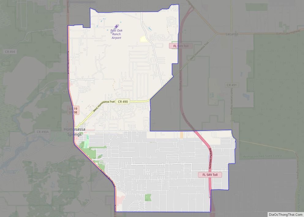
Sugarmill Woods is an unincorporated, census-designated place (CDP) in southwestern Citrus County, Florida.
| Name: | Sugarmill Woods CDP |
|---|---|
| LSAD Code: | 57 |
| LSAD Description: | CDP (suffix) |
| State: | Florida |
| County: | Citrus County |
| Elevation: | 82 ft (25 m) |
| Total Area: | 28.63 sq mi (74.14 km²) |
| Land Area: | 28.63 sq mi (74.14 km²) |
| Water Area: | 0.00 sq mi (0.00 km²) |
| Total Population: | 11,204 |
| Population Density: | 391.39/sq mi (151.12/km²) |
| Area code: | 352 |
| FIPS code: | 1268950 |
| GNISfeature ID: | 1867212 |
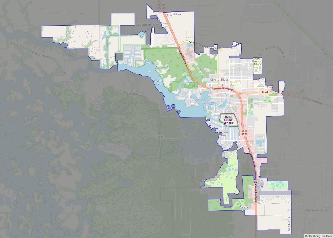
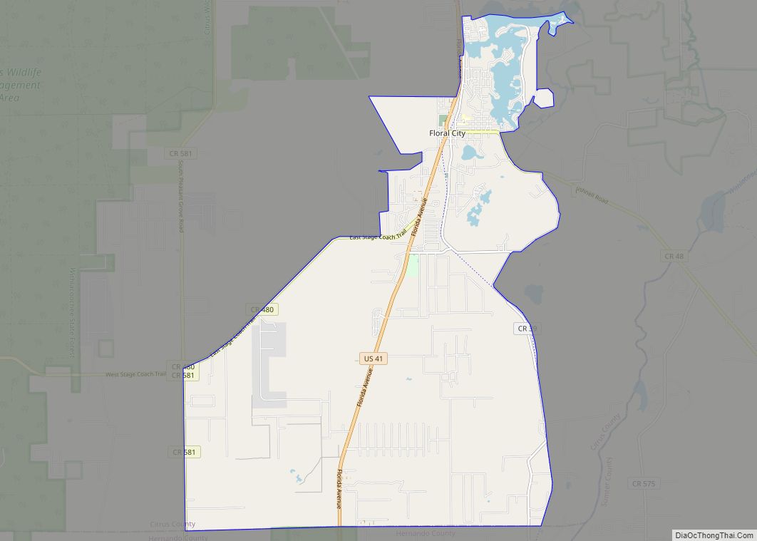
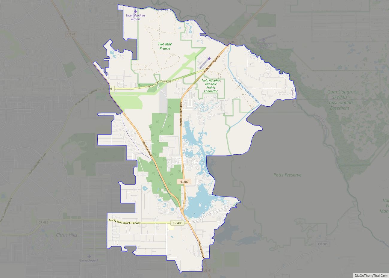
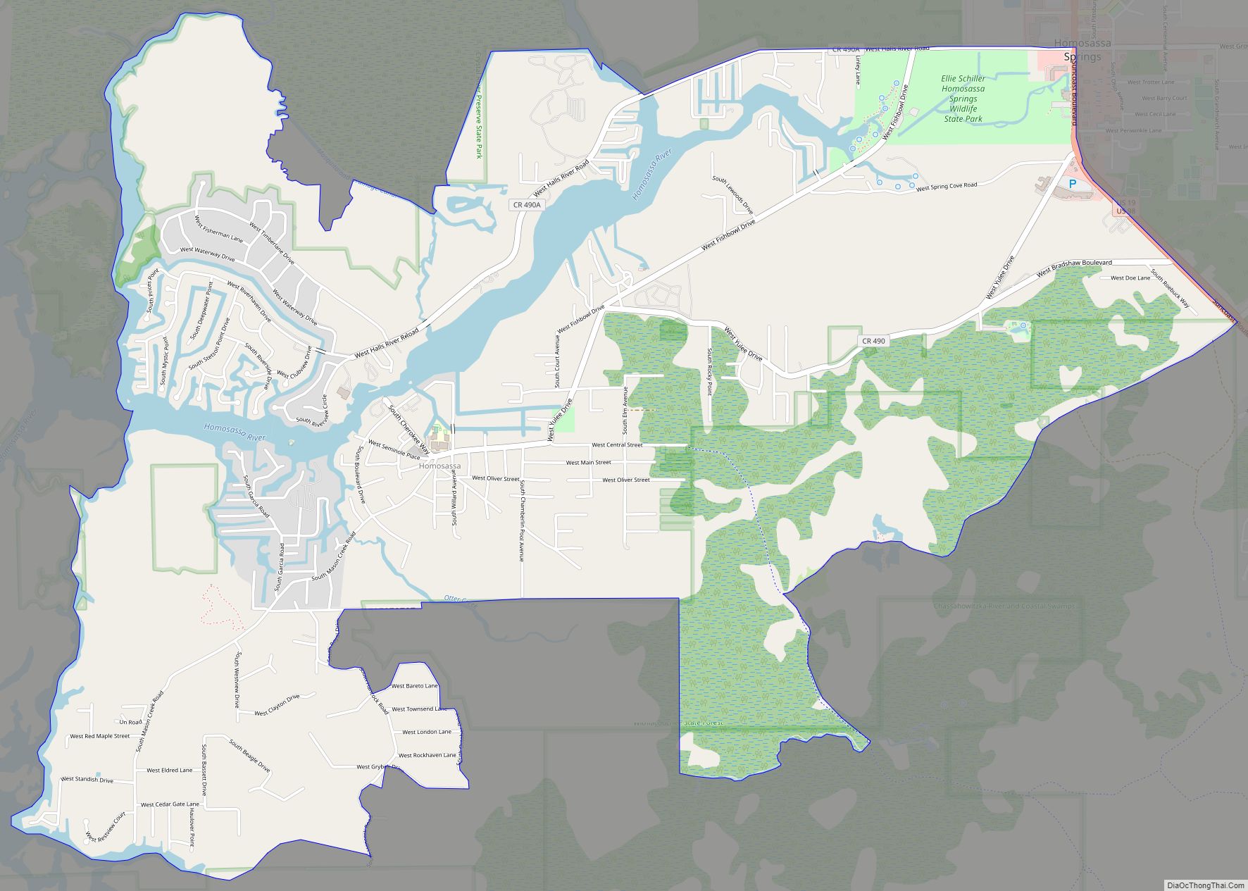
Online Interactive Map
Click on ![]() to view map in "full screen" mode.
to view map in "full screen" mode.
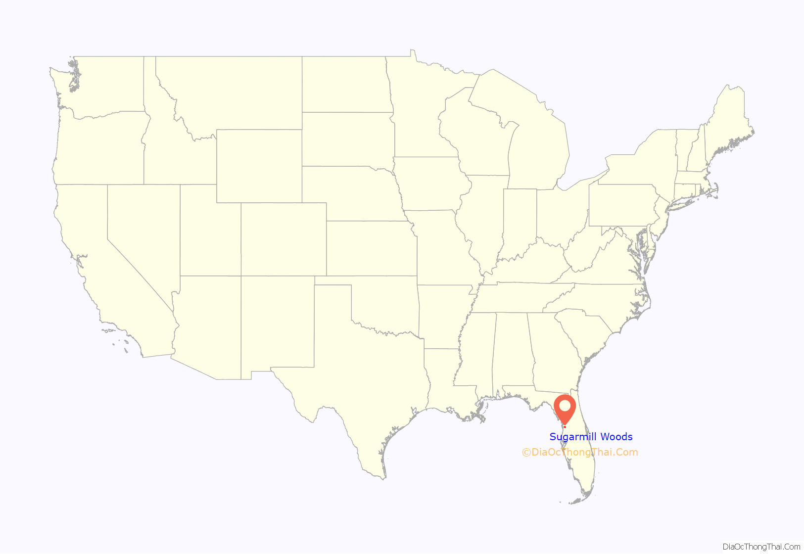
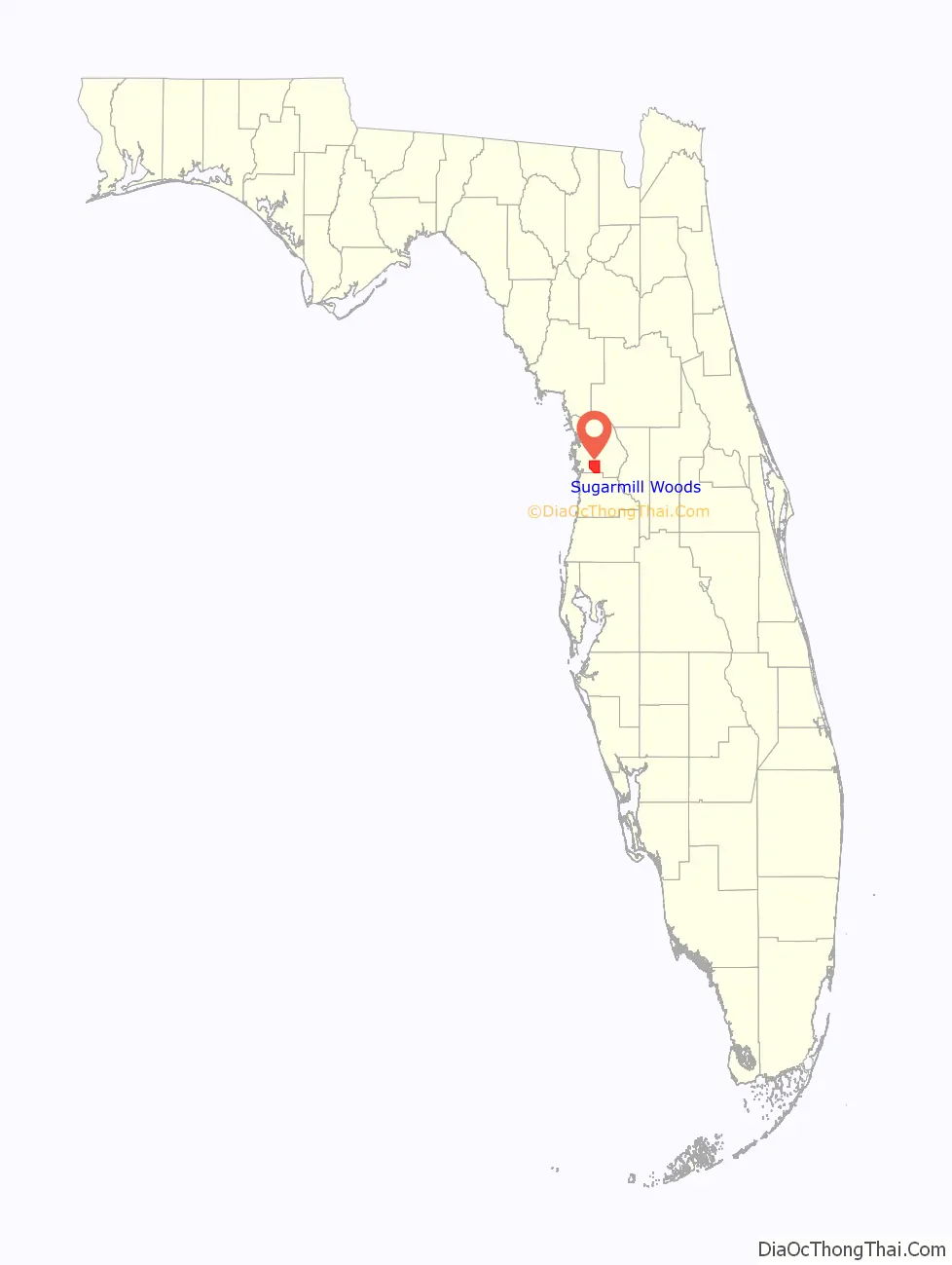
Sugarmill Woods location map. Where is Sugarmill Woods CDP?
History
The name is derived from the Yulee Sugar Mill Ruins in nearby Homosassa.
The settlement was platted in 1972, with a concept of six villages: Cypress, Oak, Pinewood, Palm, Orange, and Meadow Run — each with their own village center. 24,000 lots were planned. The first nine holes of Sugarmill Woods Country Club’s golf course, two tennis courts, and a swimming pool were completed in 1975.
Amenities included golf courses, and swim and tennis complexes.
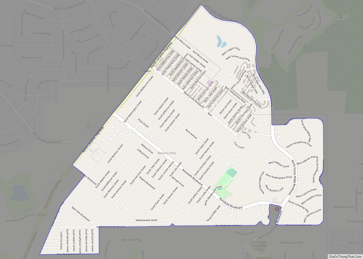
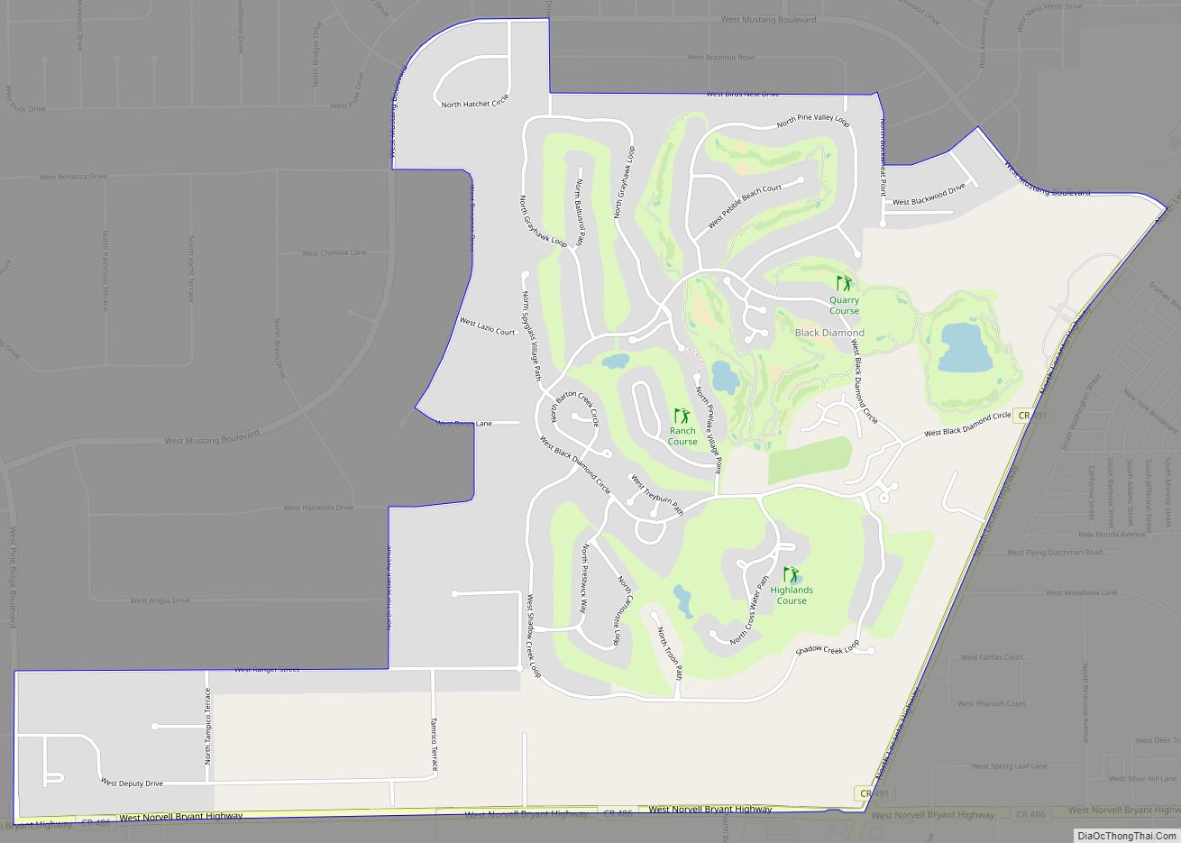
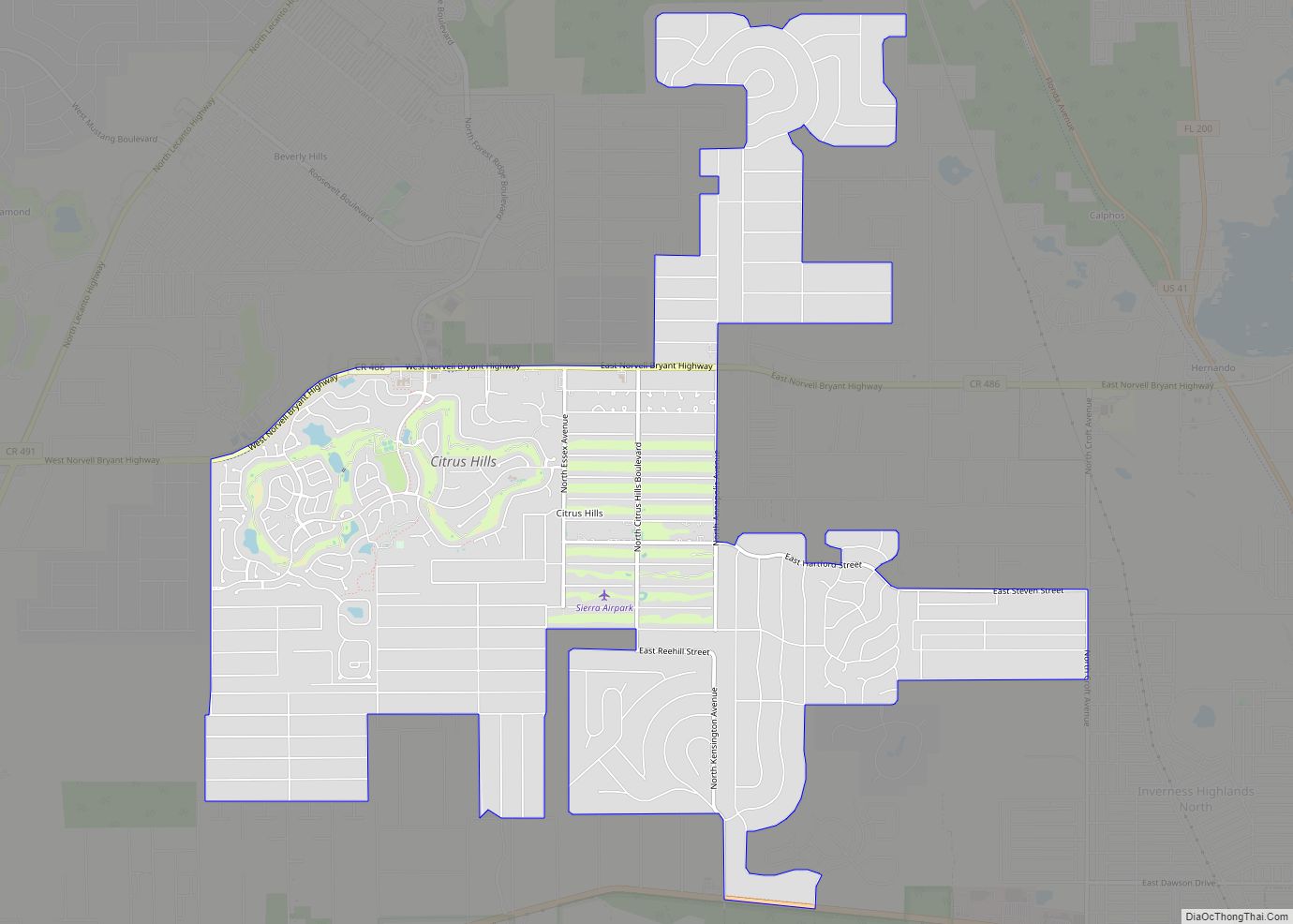
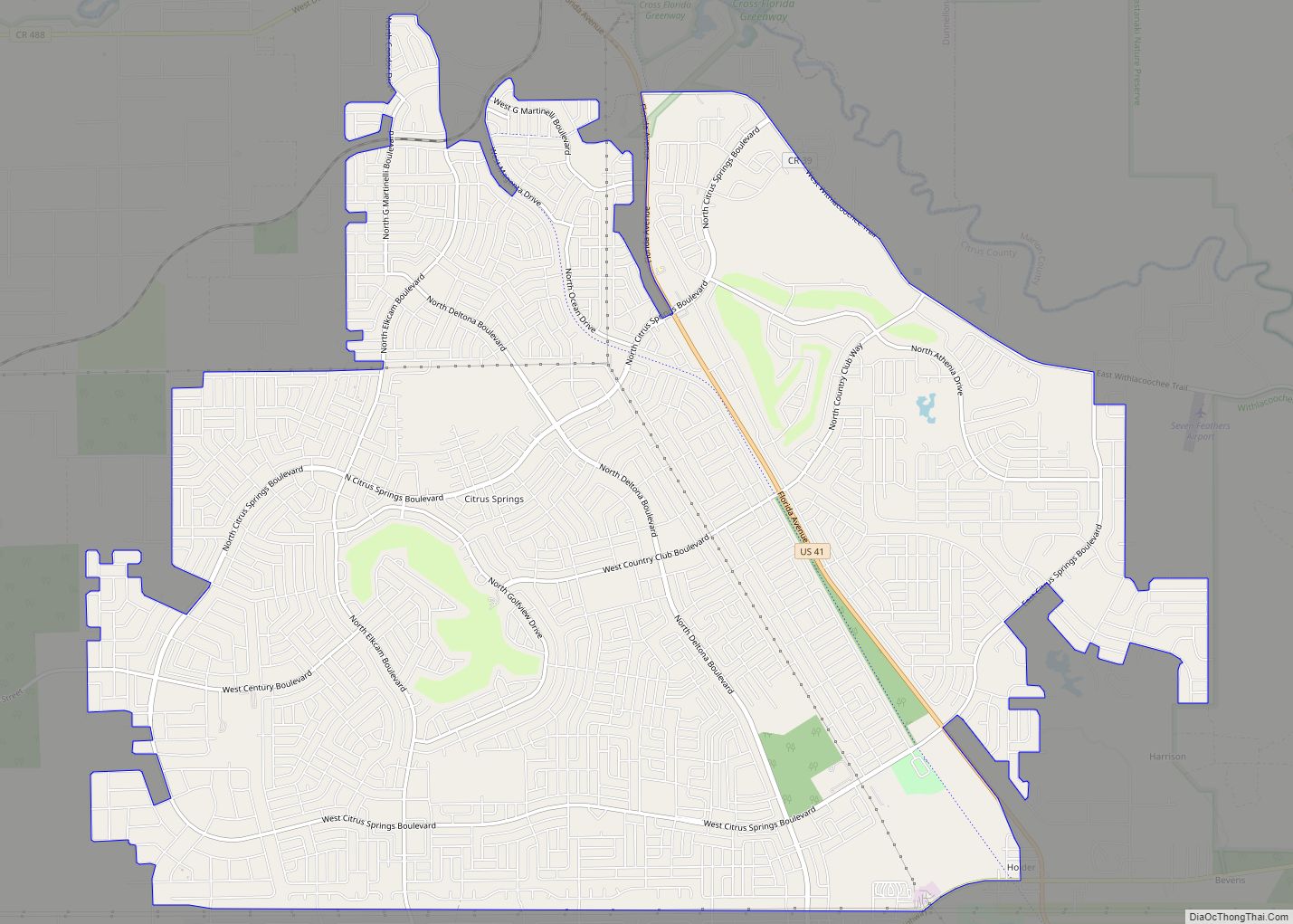
Sugarmill Woods Road Map
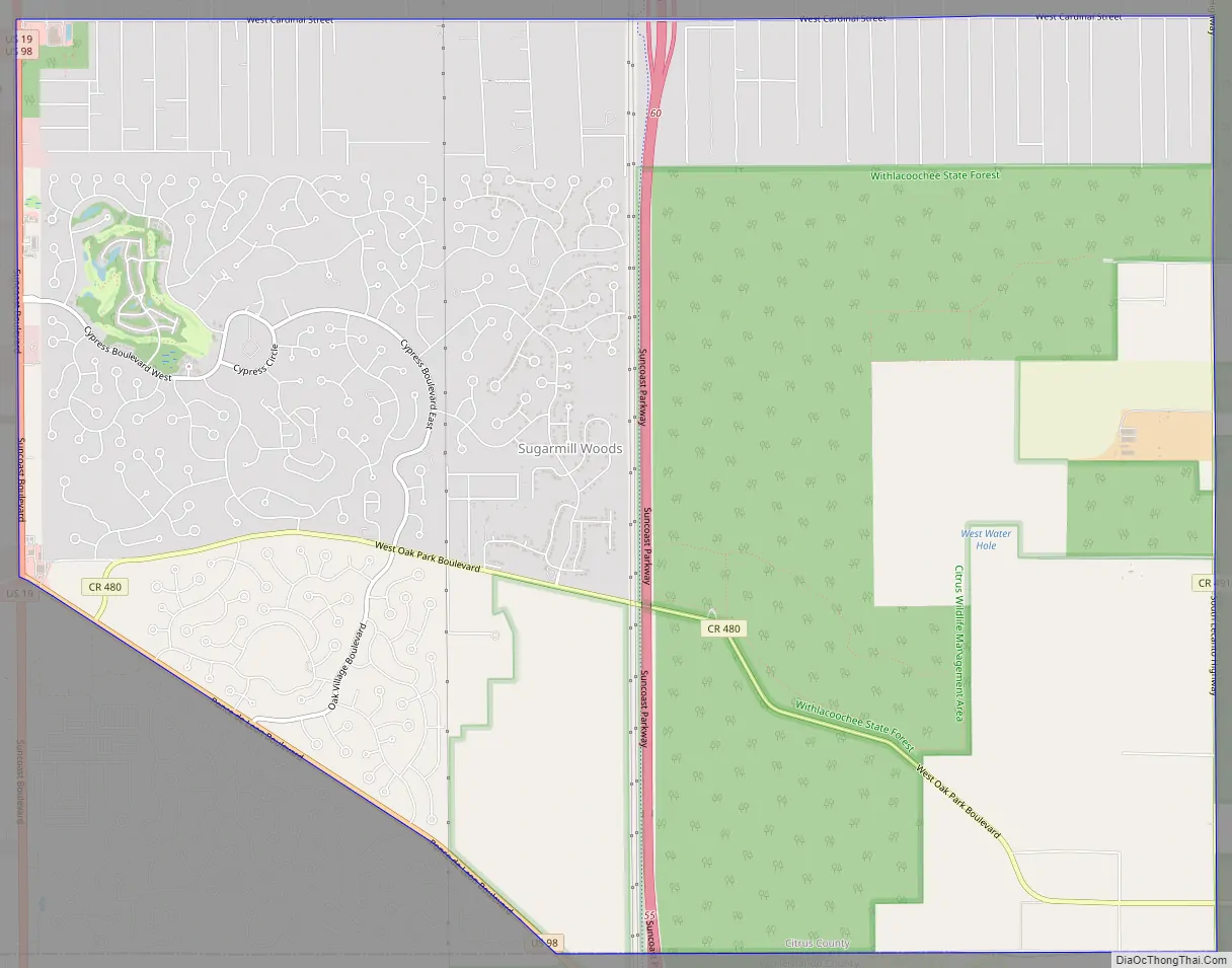
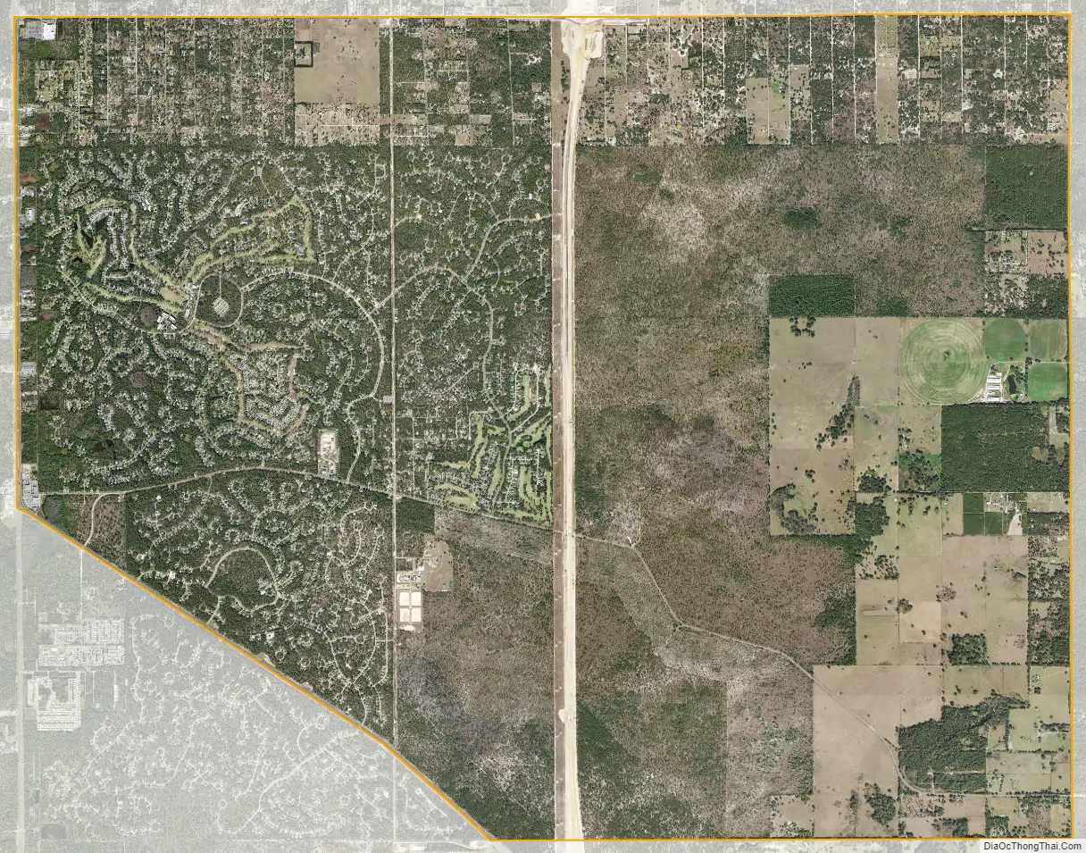
Sugarmill Woods city Satellite Map
Geography
Sugarmill Woods is located in southern Citrus County. It is bordered to the north by Homosassa Springs and Lecanto, to the south by Hernando County, to the west by US Highways 19/98 (Suncoast Boulevard), and the east by the Suncoast Parkway Extension (SR 589 Tollway) traversing the Withlacoochee State Forest. According to the United States Census Bureau, the Sugarmill Woods CDP has a total area of 26.6 square miles (69 km), mostly land, with the exception of several retention ponds.
See also
Map of Florida State and its subdivision:- Alachua
- Baker
- Bay
- Bradford
- Brevard
- Broward
- Calhoun
- Charlotte
- Citrus
- Clay
- Collier
- Columbia
- Desoto
- Dixie
- Duval
- Escambia
- Flagler
- Franklin
- Gadsden
- Gilchrist
- Glades
- Gulf
- Hamilton
- Hardee
- Hendry
- Hernando
- Highlands
- Hillsborough
- Holmes
- Indian River
- Jackson
- Jefferson
- Lafayette
- Lake
- Lee
- Leon
- Levy
- Liberty
- Madison
- Manatee
- Marion
- Martin
- Miami-Dade
- Monroe
- Nassau
- Okaloosa
- Okeechobee
- Orange
- Osceola
- Palm Beach
- Pasco
- Pinellas
- Polk
- Putnam
- Saint Johns
- Saint Lucie
- Santa Rosa
- Sarasota
- Seminole
- Sumter
- Suwannee
- Taylor
- Union
- Volusia
- Wakulla
- Walton
- Washington
- Alabama
- Alaska
- Arizona
- Arkansas
- California
- Colorado
- Connecticut
- Delaware
- District of Columbia
- Florida
- Georgia
- Hawaii
- Idaho
- Illinois
- Indiana
- Iowa
- Kansas
- Kentucky
- Louisiana
- Maine
- Maryland
- Massachusetts
- Michigan
- Minnesota
- Mississippi
- Missouri
- Montana
- Nebraska
- Nevada
- New Hampshire
- New Jersey
- New Mexico
- New York
- North Carolina
- North Dakota
- Ohio
- Oklahoma
- Oregon
- Pennsylvania
- Rhode Island
- South Carolina
- South Dakota
- Tennessee
- Texas
- Utah
- Vermont
- Virginia
- Washington
- West Virginia
- Wisconsin
- Wyoming