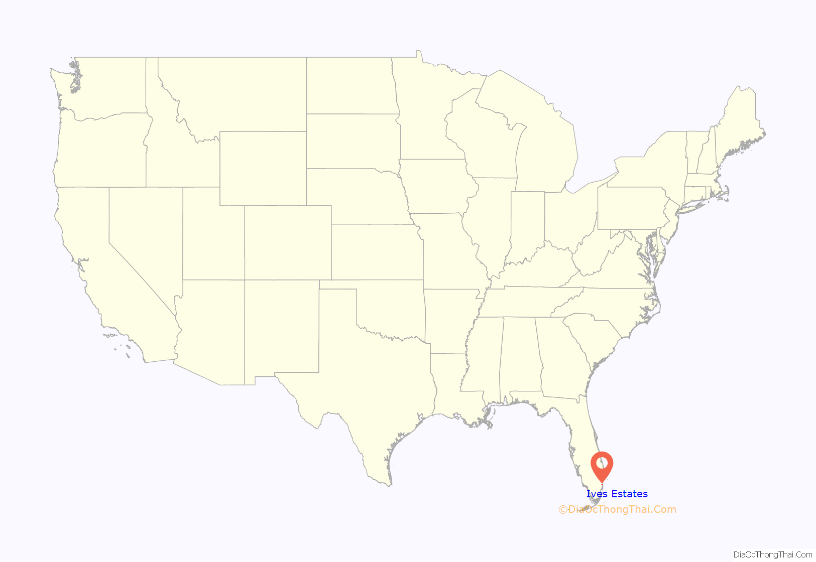
Ives Estates is a census-designated place (CDP) in Miami-Dade County, Florida. The population was 25,005 at the 2020 census, up from 19,525 in 2010.
| Name: | Ives Estates CDP |
|---|---|
| LSAD Code: | 57 |
| LSAD Description: | CDP (suffix) |
| State: | Florida |
| County: | Miami-Dade County |
| Elevation: | 10 ft (3 m) |
| Total Area: | 2.76 sq mi (7.15 km²) |
| Land Area: | 2.55 sq mi (6.60 km²) |
| Water Area: | 0.21 sq mi (0.55 km²) |
| Total Population: | 25,005 |
| Population Density: | 9,813.58/sq mi (3,788.69/km²) |
| ZIP code: | 33179 (Miami) |
| FIPS code: | 1234400 |
| GNISfeature ID: | 0284640 |
Online Interactive Map
Click on ![]() to view map in "full screen" mode.
to view map in "full screen" mode.
Ives Estates location map. Where is Ives Estates CDP?
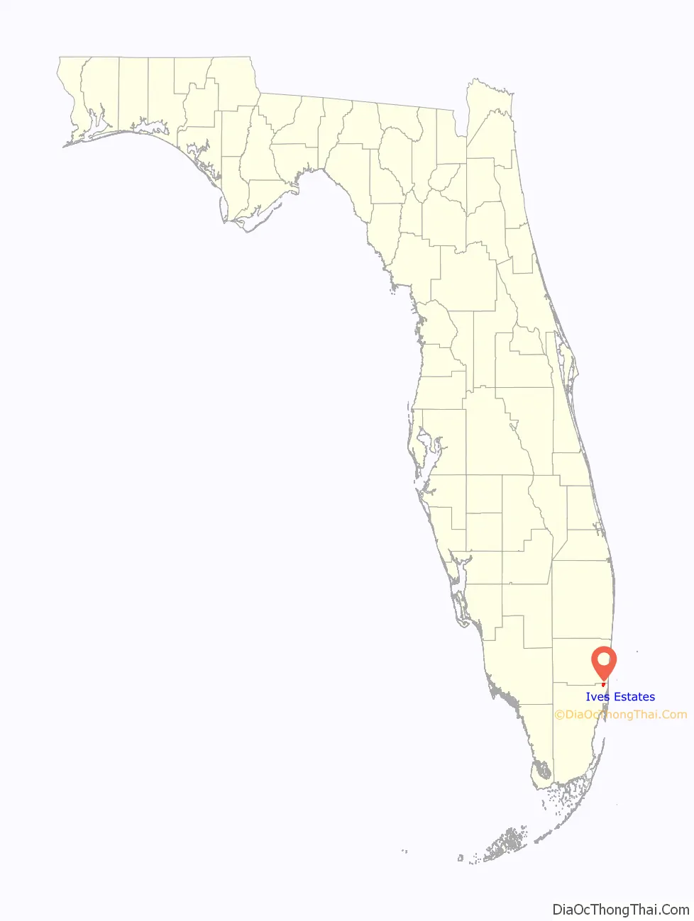
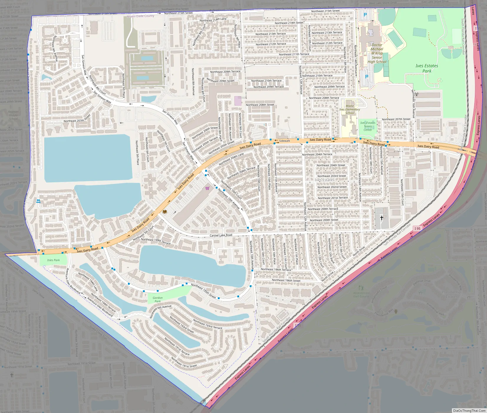
Ives Estates Road Map
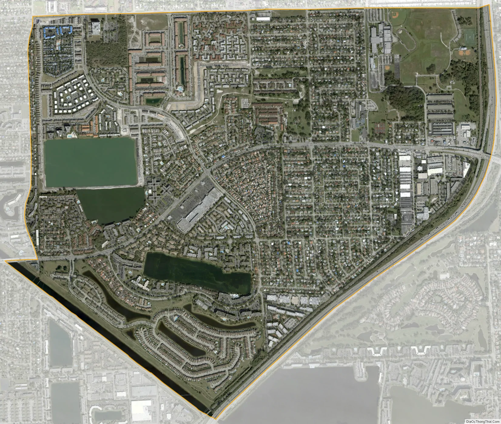
Ives Estates city Satellite Map
Geography
Ives Estates is located in northeastern Miami-Dade County at 25°57′47″N 80°10′55″W / 25.963070°N 80.181968°W / 25.963070; -80.181968. It is bordered to the north by Broward County. Neighboring communities are Ojus to the east and southeast, North Miami Beach to the south and Miami Gardens to the west. To the north, in Broward County, are West Park and Pembroke Park, while Miramar is to the northwest and Hallandale Beach is to the northeast.
Interstate 95 forms the border between Ives Estates and Ojus, with access from Exit 16 (Ives Dairy Road). Downtown Miami is 16 miles (26 km) to the south, and Fort Lauderdale is 11 miles (18 km) to the north. County Road 854 (Ives Dairy Road/NE 203rd Street/NE 199th Street) is the main road through the center of Ives Estates, leading east to Aventura and west to Miami Gardens.
According to the United States Census Bureau, the CDP has a total area of 2.76 square miles (7.1 km), of which 2.55 square miles (6.6 km) are land and 0.21 square miles (0.54 km), or 7.71%, are water.
See also
Map of Florida State and its subdivision:- Alachua
- Baker
- Bay
- Bradford
- Brevard
- Broward
- Calhoun
- Charlotte
- Citrus
- Clay
- Collier
- Columbia
- Desoto
- Dixie
- Duval
- Escambia
- Flagler
- Franklin
- Gadsden
- Gilchrist
- Glades
- Gulf
- Hamilton
- Hardee
- Hendry
- Hernando
- Highlands
- Hillsborough
- Holmes
- Indian River
- Jackson
- Jefferson
- Lafayette
- Lake
- Lee
- Leon
- Levy
- Liberty
- Madison
- Manatee
- Marion
- Martin
- Miami-Dade
- Monroe
- Nassau
- Okaloosa
- Okeechobee
- Orange
- Osceola
- Palm Beach
- Pasco
- Pinellas
- Polk
- Putnam
- Saint Johns
- Saint Lucie
- Santa Rosa
- Sarasota
- Seminole
- Sumter
- Suwannee
- Taylor
- Union
- Volusia
- Wakulla
- Walton
- Washington
- Alabama
- Alaska
- Arizona
- Arkansas
- California
- Colorado
- Connecticut
- Delaware
- District of Columbia
- Florida
- Georgia
- Hawaii
- Idaho
- Illinois
- Indiana
- Iowa
- Kansas
- Kentucky
- Louisiana
- Maine
- Maryland
- Massachusetts
- Michigan
- Minnesota
- Mississippi
- Missouri
- Montana
- Nebraska
- Nevada
- New Hampshire
- New Jersey
- New Mexico
- New York
- North Carolina
- North Dakota
- Ohio
- Oklahoma
- Oregon
- Pennsylvania
- Rhode Island
- South Carolina
- South Dakota
- Tennessee
- Texas
- Utah
- Vermont
- Virginia
- Washington
- West Virginia
- Wisconsin
- Wyoming


