Miramar is a city in southern Broward County, Florida, United States. As of the 2020 census, the population was 134,721. It is a principal city of the Miami metropolitan area, which is home to approximately six million people.
| Name: | Miramar city |
|---|---|
| LSAD Code: | 25 |
| LSAD Description: | city (suffix) |
| State: | Florida |
| County: | Broward County |
| Incorporated: | May 26, 1955 |
| Elevation: | 9 ft (2 m) |
| Land Area: | 28.85 sq mi (74.73 km²) |
| Water Area: | 2.23 sq mi (5.77 km²) 5.66% |
| Population Density: | 4,669.22/sq mi (1,802.77/km²) |
| ZIP code: | 33023, 33025, 33027, 33029 |
| Area code: | 754, 954 |
| FIPS code: | 1245975 |
| GNISfeature ID: | 0286974 |
| Website: | www.miramarfl.gov |
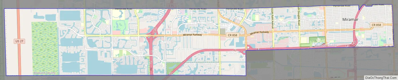
Online Interactive Map
Click on ![]() to view map in "full screen" mode.
to view map in "full screen" mode.
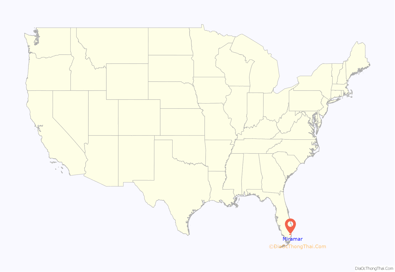
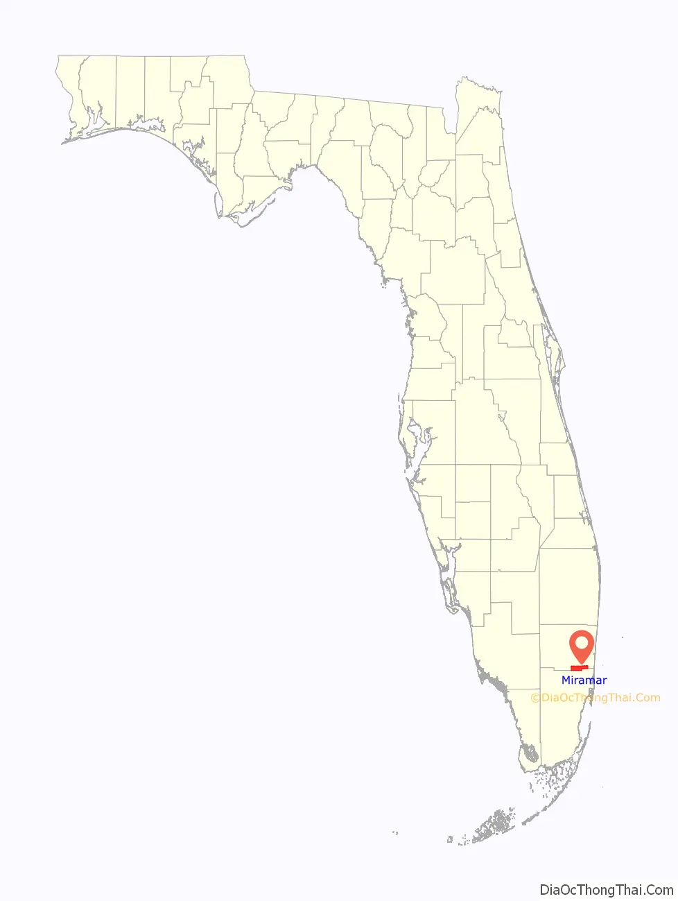
Miramar location map. Where is Miramar city?
History
Miramar was founded by A.L. Mailman to serve as a “bedroom community” for nearby Miami and Fort Lauderdale. Mailman bought the original property he was to develop from H.D. Perry, Sr. in 1953. He built 56 homes on the property that were inexpensive homes of concrete and flat roofs. These homes sold quickly because of the low cost of both the homes and the land, and the city of Miramar came into being.
The city was incorporated on May 26, 1955, and was named for the Miramar area of Havana, Cuba where Mailman had a summer home (Miramar translates to “look at the sea” in Spanish). At the time of incorporation, the city had a population of less than two hundred people. With approximately 2.9 square miles of land area, Miramar’s original city boundaries were Southwest 64 Avenue on the east, University Drive on the west, the Dade County line on the south, and Pembroke Road on the north. On June 20, 1955, the city’s first mayor (Robert Gordon) and city council were sworn in, all of whom were appointed by the governor and served until January 1959, at which time the first municipal election was held. Mayor Robert Gordon is the individual who is attributed to have given the city its name. The city seal is inscribed with the motto “Beauty and Progress”.
H.D. Perry Sr.’s part in Miramar did not cease with selling the land to Mailman for development. He is recognized as one of the foremost pioneers in the history of Miramar. His character and civic-activities influenced not only the lives of early residents but continues to the present day, as evidenced by the schools and parks in the city which bear his family’s name. Many long-time residents fondly recall the community barbecues hosted by Mr. and Mrs. Perry during those early years. Others are grateful to Mr. Perry for the lessons in animal husbandry, which he conducted for the benefit of Miramar’s youth so that they could learn something of farm life.
The only major roads when Miramar was developed were U.S. 441 which was a two-lane road at that time, Hallandale Beach Boulevard to Southwest 66 Terrace and Pembroke Road which was a dirt road to University Drive. There were no other transportation routes of any kind supplying access to the new community. Miramar’s early city fathers advocated the philosophy of planned and controlled growth. The city adopted a Comprehensive Land Use Plan in 1972 before cities and counties were mandated to do so. This provided the framework for the orderly development of future growth. Two-thirds of the land within city limits is currently undeveloped.
Miramar Road Map
Miramar city Satellite Map

Geography
According to the United States Census Bureau, the city has a total area of 31.3 square miles (81.0 km), of which 29.5 square miles (76.5 km) is land and 1.8 square miles (4.6 km) (5.66%) is water.
A 2017 study put the city in fifth place for US cities most vulnerable to coastal flooding, with 93,000 residents living within FEMA’s coastal floodplain.
The city is bordered by the following municipalities:
To the north:
To the northeast:
To the east:
To the south:
See also
Map of Florida State and its subdivision:- Alachua
- Baker
- Bay
- Bradford
- Brevard
- Broward
- Calhoun
- Charlotte
- Citrus
- Clay
- Collier
- Columbia
- Desoto
- Dixie
- Duval
- Escambia
- Flagler
- Franklin
- Gadsden
- Gilchrist
- Glades
- Gulf
- Hamilton
- Hardee
- Hendry
- Hernando
- Highlands
- Hillsborough
- Holmes
- Indian River
- Jackson
- Jefferson
- Lafayette
- Lake
- Lee
- Leon
- Levy
- Liberty
- Madison
- Manatee
- Marion
- Martin
- Miami-Dade
- Monroe
- Nassau
- Okaloosa
- Okeechobee
- Orange
- Osceola
- Palm Beach
- Pasco
- Pinellas
- Polk
- Putnam
- Saint Johns
- Saint Lucie
- Santa Rosa
- Sarasota
- Seminole
- Sumter
- Suwannee
- Taylor
- Union
- Volusia
- Wakulla
- Walton
- Washington
- Alabama
- Alaska
- Arizona
- Arkansas
- California
- Colorado
- Connecticut
- Delaware
- District of Columbia
- Florida
- Georgia
- Hawaii
- Idaho
- Illinois
- Indiana
- Iowa
- Kansas
- Kentucky
- Louisiana
- Maine
- Maryland
- Massachusetts
- Michigan
- Minnesota
- Mississippi
- Missouri
- Montana
- Nebraska
- Nevada
- New Hampshire
- New Jersey
- New Mexico
- New York
- North Carolina
- North Dakota
- Ohio
- Oklahoma
- Oregon
- Pennsylvania
- Rhode Island
- South Carolina
- South Dakota
- Tennessee
- Texas
- Utah
- Vermont
- Virginia
- Washington
- West Virginia
- Wisconsin
- Wyoming


