Lake Clarke Shores is a town in Palm Beach County, Florida, United States. Located in the east-central portion of the county, the town is situated just west of the south end of West Palm Beach, north and west of the north end of Lake Worth Beach, and east of Palm Springs. The 2010 census recorded a population of 3,376, while the U.S. Census Bureau estimated that Lake Clarke Shores had a population of 3,627 in 2019.
The town was named after John Newton Clarke, who first filed a homestead claim in the area in 1897. Clarke intended to capitalize on the business of growing pineapples, but his efforts were ultimately unsuccessful. Very few people lived in the area until local attorney Walter Travers created a plan to develop a community around Lake Clarke and purchased 250 acres (100 ha) of land for $10,000 in the late 1940s. The completion of a bridge across the West Palm Beach Canal in 1953 spurred a further growth in population. With rumors spreading that West Palm Beach intended to annex the community, residents voted by a wide margin to support the incorporation of Lake Clarke Shores as a town on April 10, 1956, which the Florida Legislature officially approved in 1957.
Today, Lake Clarke Shores maintains a small population. The town is primarily a bedroom community, with most of its businesses and other commercial buildings located along Forest Hill Boulevard (State Road 882).
| Name: | Lake Clarke Shores town |
|---|---|
| LSAD Code: | 43 |
| LSAD Description: | town (suffix) |
| State: | Florida |
| County: | Palm Beach County |
| Elevation: | 13 ft (4 m) |
| Total Area: | 1.04 sq mi (2.68 km²) |
| Land Area: | 0.92 sq mi (2.39 km²) |
| Water Area: | 0.11 sq mi (0.29 km²) |
| Total Population: | 3,564 |
| Population Density: | 3,861.32/sq mi (1,491.35/km²) |
| ZIP code: | 33406 |
| Area code: | 561 |
| FIPS code: | 1237800 |
| GNISfeature ID: | 0285226 |
| Website: | www.townoflcs.com |
Online Interactive Map
Click on ![]() to view map in "full screen" mode.
to view map in "full screen" mode.
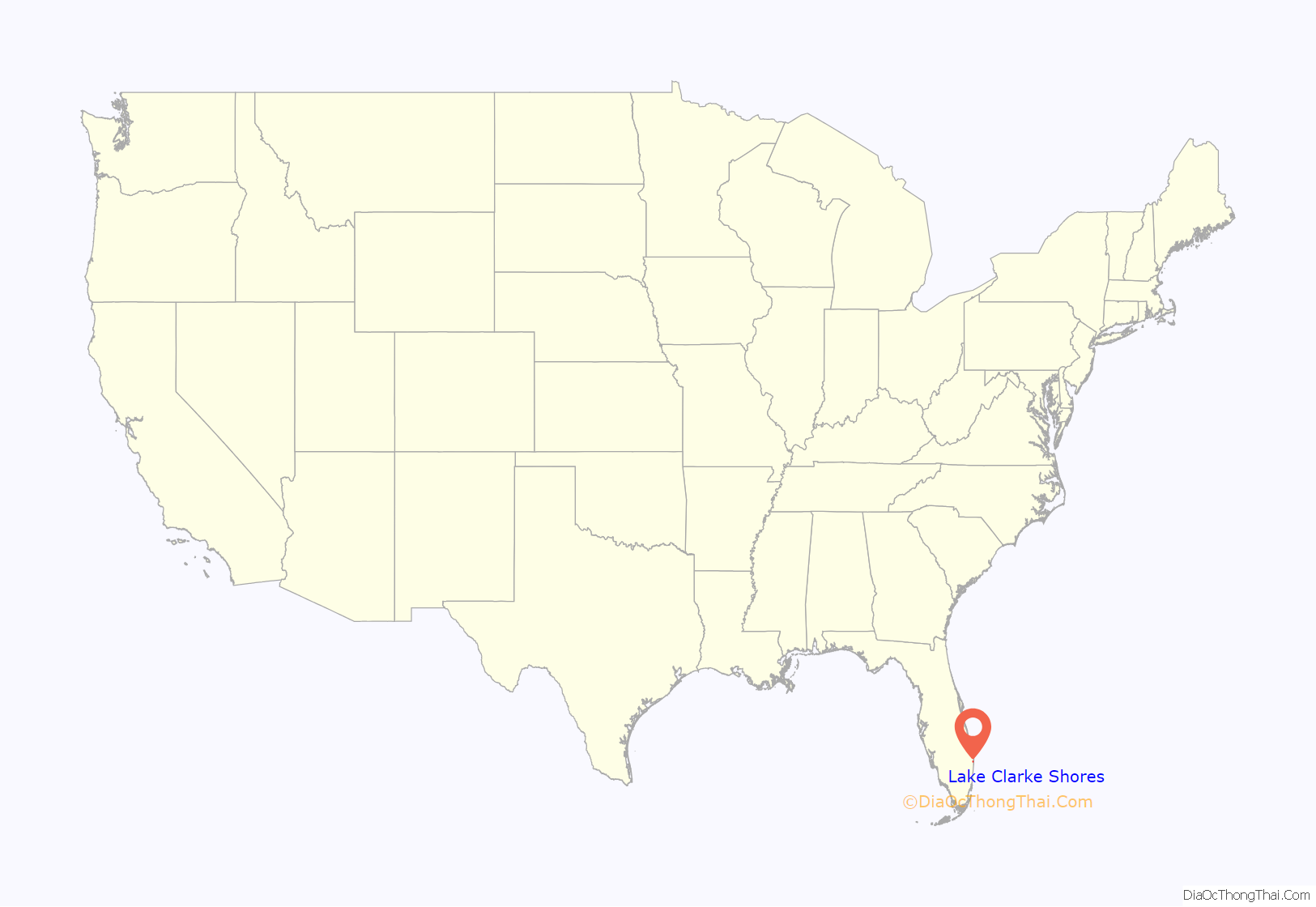
Lake Clarke Shores location map. Where is Lake Clarke Shores town?
History
The town of Lake Clarke Shores was named after John Newton Clarke, a general store grocer, postmaster in Lake Worth (now known as Lake Worth Beach), and Royal Poinciana Hotel employee who filed a homestead claim in 1897 for a 139 acre (56 hectare) area of land on the eastern shore of a lake situated just west of West Palm Beach. Clarke would later name the lake after himself. He also purchased 5 acres (2.0 ha) of land in West Palm Beach near where Hillcrest Cemetery and Parker Avenue stand today. Attempting to capitalize on the promising pineapple growing business, Clarke used the property for growing pineapples and operating a packinghouse. However, the thriving pineapple business in South Florida suffered extensive losses in 1910, and the completion Henry Flagler’s railway to Key West in 1912 allowed pineapples from Cuba to be shipped to the northern United States more cost-effectively than from Florida. Clarke and many others in South Florida abandoned the pineapple industry by 1915. Thereafter, Clarke used the land as a fishing retreat. However, Lake Clarke, which had stretched from Southern Boulevard (State Road 84) to the city of Lake Worth, was reduced to a marsh and fell about 8 ft (2.4 m) in height in 1917 upon completion of the West Palm Beach Canal.
In the early 1930s, Zeb Vance Hooker and his family became the first settlers in modern-day Lake Clarke Shores by squatting in a wooden shack on land by the southeast side of Lake Clarke. In 1946, Patsy Renolds built a house where Antigua Road stands today and is the oldest home in Lake Clarke Shores. By the late 1940s, local attorney Walter Travers visited the area and bought the lakeshore properties from their respective owners. Travers then attempted to buy land which had been drained during the construction of the West Palm Beach Canal in the 1910s. The state of Florida initially denied his request. However, after meeting with the Trustees of the Internal Improvement Fund in Tallahassee, the board offered Travers the land for $300 per acre. Travers partially agreed but attempted to negotiate a lesser cost for land at lower elevations. The state then decided to auction the land. Travers was the only bidder and obtained 250 acres (100 ha) of land on the northwest periphery of the lake for $10,000, which a friend loaned to him. After obtaining $5,000 for an unrelated lawsuit settlement, Travers invested that money into his project to transform the area into a waterfront community and brought in dredging equipment in 1949. The fledgling community initially grew very slowly, with just three homes built by 1952. One reason for the slow growth was the lack of a bridge across the West Palm Beach Canal. Palm Beach County Commissioner Lake Lytal convinced the county commission to approve the building of a bridge, knowing that Travers intended to contribute $10,000 to its construction. The bridge, completed in 1953, connected Selby Road and Forest Hill Boulevard (State Road 882) – with the entirety of the road becoming Forest Hill Boulevard – and resulted in a quicker increase in development and population.
Rumors spread that West Palm Beach planned to annex the area, prompting 60 people to form the Lake Clarke Property Owners’ Association in 1955. The association first met at a private residence, before meeting regularly at Meadow Park Elementary School. After reaching consensus on the name Lake Clarke Shores, residents met there on April 10, 1956, to decide on incorporation. Because the Florida Legislature did not meet in 1956, incorporation would have to be supported by two-thirds of voters. A total of 117 votes were cast, with 113 in favor and 4 in opposition to incorporating. Thus, the motion succeeded. William H. McLaughlin was unanimously selected to be the first mayor of Lake Clarke Shores, while Horace J. Cunningham, William M. Diemer, Robert G. Hillbert, Charles G. Platt, and Frank M. Seay served as the town’s first aldermen. Other elected officials included Betty Diemer as town clerk, William H. Blythe as town marshal, and John Farrell as town attorney. The Florida Legislature approved the citizens vote to incorporate on July 1, 1957, when the town was granted the State Charter.
Development continued rapidly after Forest Hill Community High School opened just across the West Palm Beach Canal from Lake Clark Shores in 1958. The first census of the town occurred in 1960, which recorded a population of 1,297. In its early years, Lake Clarke Shores was almost entirely residential in nature. A 1962 description of the town in The Palm Beach Post noted that Forest Hill Baptist Church (now New Life Alliance Church) was the only non-residential building. However, the town council began passing ordinances later in the 1960s to allow commercial properties along Forest Hill Boulevard. The first commercial building, a gas station, opened at the corner of Forest Hill Boulevard and Florida Mango Road in June 1967. The town council, having long recognized the need for a town hall, finally authorized the construction of a town hall on Barbados Road in the 1970s, which opened in August 1974. The town hall would be dedicated on February 20, 1977. About 10 years later, in May 1987, a building headquartering the Lake Clarke Shores Police Department was completed.
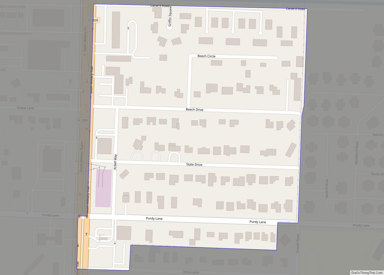
Lake Clarke Shores Road Map
Lake Clarke Shores city Satellite Map
Geography
Lake Clarke Shores is located adjacent to the cities of West Palm Beach and Lake Worth. Direct access to those cities is by Forest Hill Boulevard and Keller Road respectively. The Village of Palm Springs is located directly west of the town. The town is roughly bounded by Interstate 95 to the east, Florida Mango Road to the west, Summit Boulevard to the north, less the Lake Patrick neighborhood, and 10th Avenue North to the south, less the Waterside neighborhood.
Lake Clarke Shores is located at 26°38′44″N 80°4′31″W / 26.64556°N 80.07528°W / 26.64556; -80.07528 (26.645644, −80.075379). According to the United States Census Bureau, the town has a total area of 1.0 square mile (2.6 km), of which 1.0 square mile (2.6 km) is land and 0.1 square miles (0.26 km) (7.62%) is water.
See also
Map of Florida State and its subdivision:- Alachua
- Baker
- Bay
- Bradford
- Brevard
- Broward
- Calhoun
- Charlotte
- Citrus
- Clay
- Collier
- Columbia
- Desoto
- Dixie
- Duval
- Escambia
- Flagler
- Franklin
- Gadsden
- Gilchrist
- Glades
- Gulf
- Hamilton
- Hardee
- Hendry
- Hernando
- Highlands
- Hillsborough
- Holmes
- Indian River
- Jackson
- Jefferson
- Lafayette
- Lake
- Lee
- Leon
- Levy
- Liberty
- Madison
- Manatee
- Marion
- Martin
- Miami-Dade
- Monroe
- Nassau
- Okaloosa
- Okeechobee
- Orange
- Osceola
- Palm Beach
- Pasco
- Pinellas
- Polk
- Putnam
- Saint Johns
- Saint Lucie
- Santa Rosa
- Sarasota
- Seminole
- Sumter
- Suwannee
- Taylor
- Union
- Volusia
- Wakulla
- Walton
- Washington
- Alabama
- Alaska
- Arizona
- Arkansas
- California
- Colorado
- Connecticut
- Delaware
- District of Columbia
- Florida
- Georgia
- Hawaii
- Idaho
- Illinois
- Indiana
- Iowa
- Kansas
- Kentucky
- Louisiana
- Maine
- Maryland
- Massachusetts
- Michigan
- Minnesota
- Mississippi
- Missouri
- Montana
- Nebraska
- Nevada
- New Hampshire
- New Jersey
- New Mexico
- New York
- North Carolina
- North Dakota
- Ohio
- Oklahoma
- Oregon
- Pennsylvania
- Rhode Island
- South Carolina
- South Dakota
- Tennessee
- Texas
- Utah
- Vermont
- Virginia
- Washington
- West Virginia
- Wisconsin
- Wyoming
