Lake Kathryn is a census-designated place (CDP) in Lake County, Florida, United States. The population was 920 at the 2010 census. The area is also known as Lake Kathryn Heights. It is part of the Orlando–Kissimmee Metropolitan Statistical Area.
| Name: | Lake Kathryn CDP |
|---|---|
| LSAD Code: | 57 |
| LSAD Description: | CDP (suffix) |
| State: | Florida |
| County: | Lake County |
| Elevation: | 46 ft (14 m) |
| Total Area: | 2.88 sq mi (7.45 km²) |
| Land Area: | 2.80 sq mi (7.25 km²) |
| Water Area: | 0.07 sq mi (0.20 km²) |
| Total Population: | 990 |
| Population Density: | 353.57/sq mi (136.53/km²) |
| ZIP code: | 32767 |
| Area code: | 352 |
| FIPS code: | 1238162 |
| GNISfeature ID: | 2403194 |
Online Interactive Map
Click on ![]() to view map in "full screen" mode.
to view map in "full screen" mode.
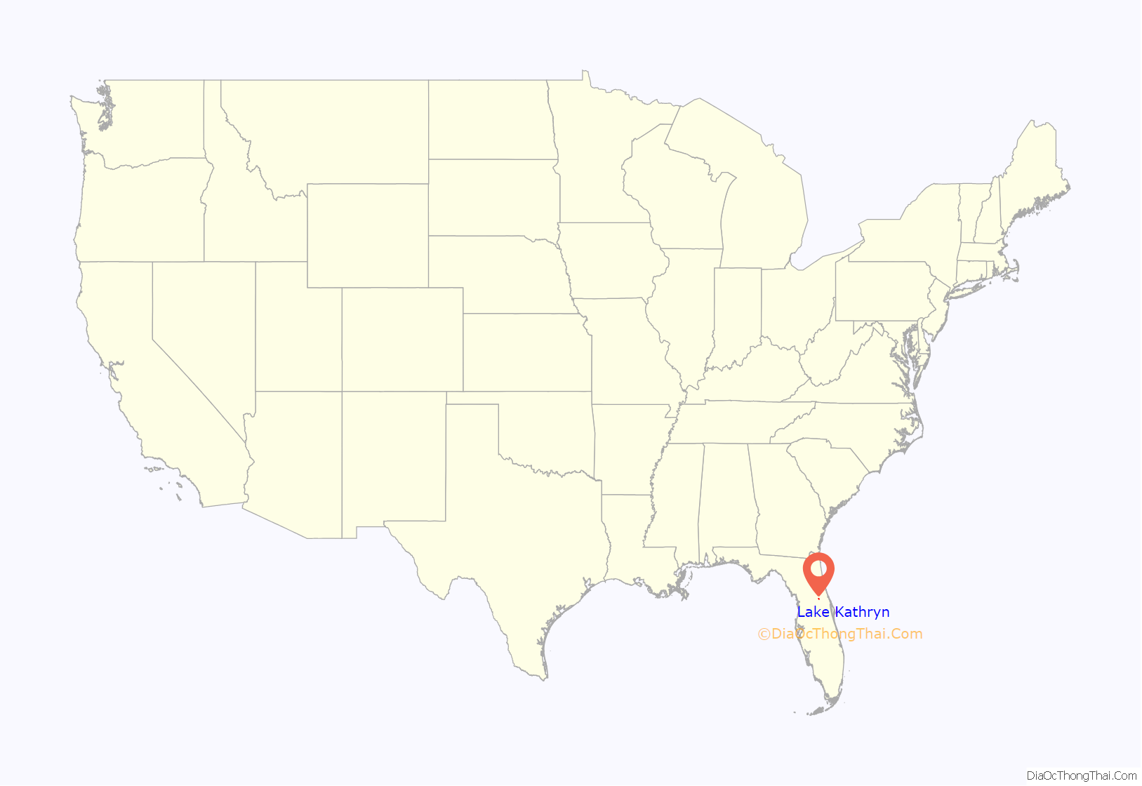
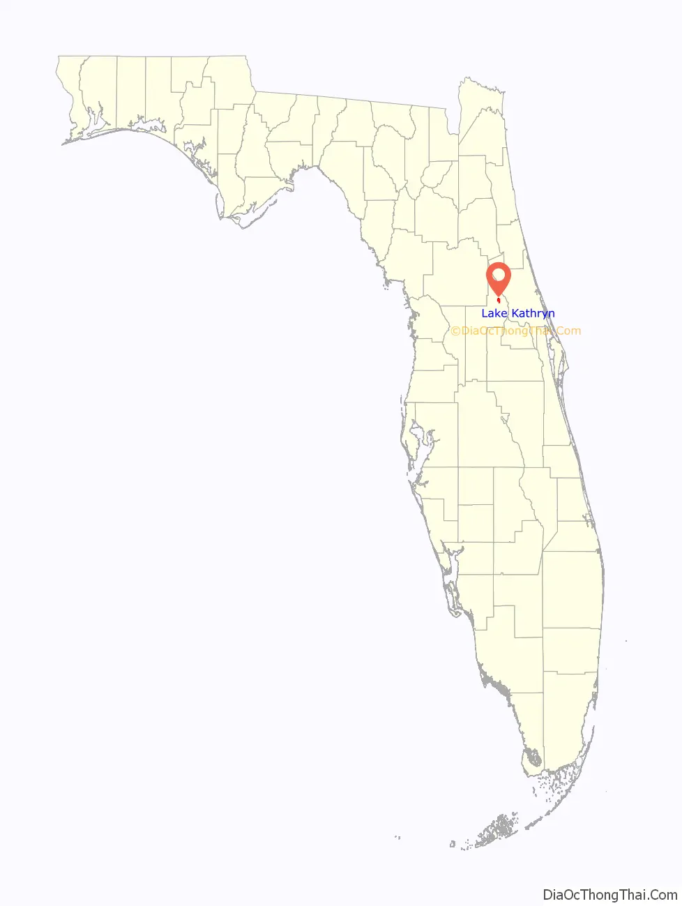
Lake Kathryn location map. Where is Lake Kathryn CDP?
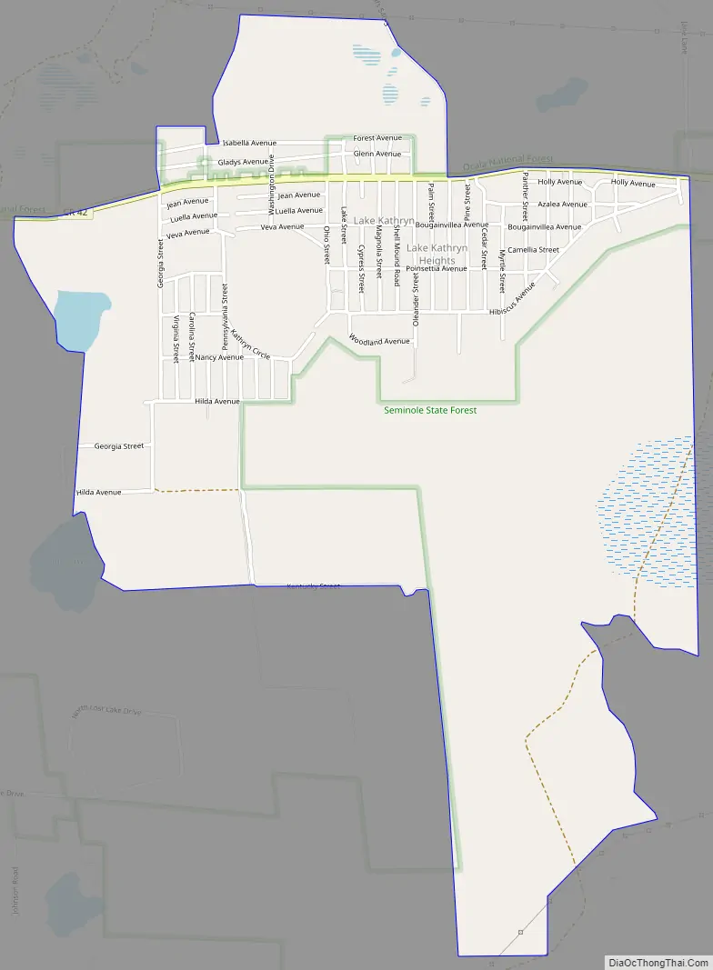
Lake Kathryn Road Map
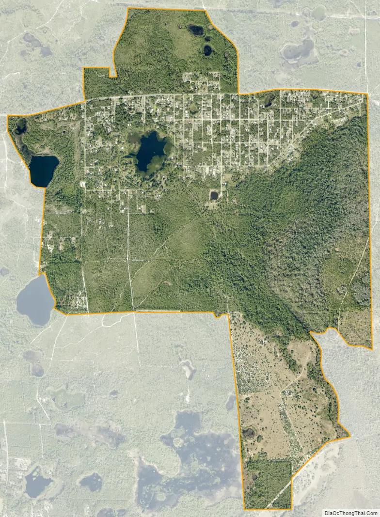
Lake Kathryn city Satellite Map
Geography
Lake Kathryn is located in northern Lake County surrounding a small lake of the same name. It is 12 miles (19 km) west of DeLand, the nearest city, and 20 miles (32 km) northeast of Eustis. It is bordered to the north by Ocala National Forest.
According to the United States Census Bureau, the CDP has a total area of 2.88 square miles (7.45 km), of which 2.80 square miles (7.25 km) are land and 0.077 square miles (0.20 km), or 2.62%, are water.
See also
Map of Florida State and its subdivision:- Alachua
- Baker
- Bay
- Bradford
- Brevard
- Broward
- Calhoun
- Charlotte
- Citrus
- Clay
- Collier
- Columbia
- Desoto
- Dixie
- Duval
- Escambia
- Flagler
- Franklin
- Gadsden
- Gilchrist
- Glades
- Gulf
- Hamilton
- Hardee
- Hendry
- Hernando
- Highlands
- Hillsborough
- Holmes
- Indian River
- Jackson
- Jefferson
- Lafayette
- Lake
- Lee
- Leon
- Levy
- Liberty
- Madison
- Manatee
- Marion
- Martin
- Miami-Dade
- Monroe
- Nassau
- Okaloosa
- Okeechobee
- Orange
- Osceola
- Palm Beach
- Pasco
- Pinellas
- Polk
- Putnam
- Saint Johns
- Saint Lucie
- Santa Rosa
- Sarasota
- Seminole
- Sumter
- Suwannee
- Taylor
- Union
- Volusia
- Wakulla
- Walton
- Washington
- Alabama
- Alaska
- Arizona
- Arkansas
- California
- Colorado
- Connecticut
- Delaware
- District of Columbia
- Florida
- Georgia
- Hawaii
- Idaho
- Illinois
- Indiana
- Iowa
- Kansas
- Kentucky
- Louisiana
- Maine
- Maryland
- Massachusetts
- Michigan
- Minnesota
- Mississippi
- Missouri
- Montana
- Nebraska
- Nevada
- New Hampshire
- New Jersey
- New Mexico
- New York
- North Carolina
- North Dakota
- Ohio
- Oklahoma
- Oregon
- Pennsylvania
- Rhode Island
- South Carolina
- South Dakota
- Tennessee
- Texas
- Utah
- Vermont
- Virginia
- Washington
- West Virginia
- Wisconsin
- Wyoming


