Lakeland Highlands is an unincorporated community and census-designated place (CDP) in Polk County, Florida, United States. The population was 11,056 at the 2010 census. It is part of the Lakeland–Winter Haven Metropolitan Statistical Area. It is an affluent residential community located south of the Lakeland city limits, and north of the Mulberry city limits. Lakeland Highlands neighbors Medulla, and together the two communities make up much of what is known as South Lakeland (unincorporated).
The area is addressed to Lakeland, with zip codes 33807, 33812, and 33813. Its schools include, George W. Jenkins Senior High School (named after the founder of Publix Supermarkets, based in Lakeland), Scott Lake Elementary, Lakeland Highlands Middle School and Valleyview Elementary. This area has been experiencing high growth for over two decades with new subdivisions being developed every year. Considered part of the Tampa Bay Area, it is becoming a bedroom community of Tampa.
| Name: | Lakeland Highlands CDP |
|---|---|
| LSAD Code: | 57 |
| LSAD Description: | CDP (suffix) |
| State: | Florida |
| County: | Polk County |
| Elevation: | 223 ft (68 m) |
| Total Area: | 5.64 sq mi (14.61 km²) |
| Land Area: | 4.86 sq mi (12.59 km²) |
| Water Area: | 0.78 sq mi (2.01 km²) |
| Total Population: | 12,187 |
| Population Density: | 2,506.07/sq mi (967.69/km²) |
| FIPS code: | 1238262 |
| GNISfeature ID: | 1867161 |
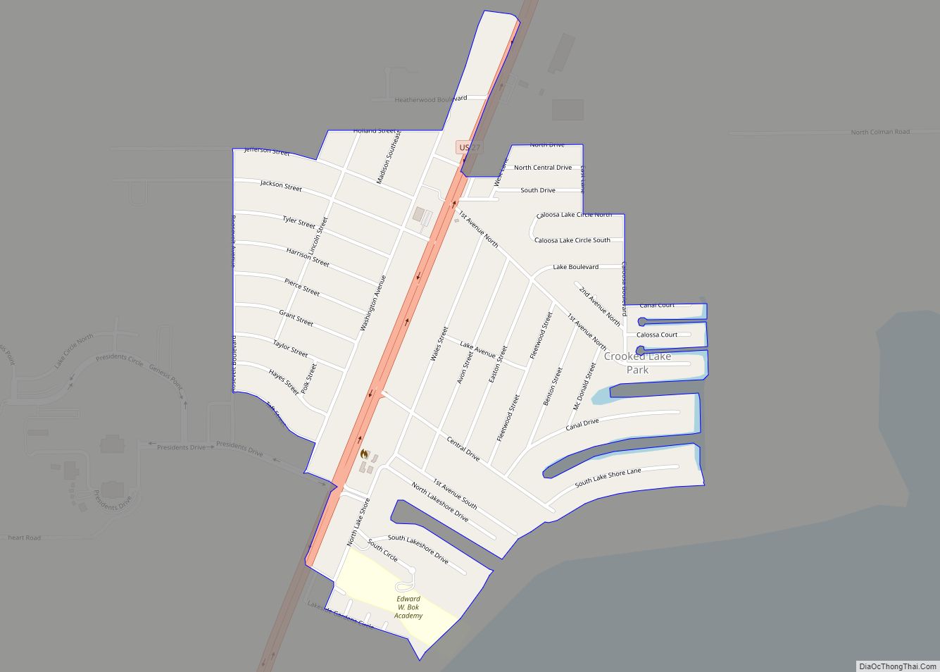
Online Interactive Map
Click on ![]() to view map in "full screen" mode.
to view map in "full screen" mode.
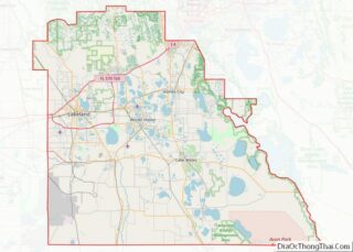
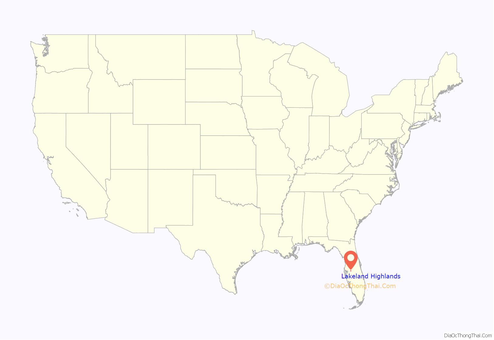
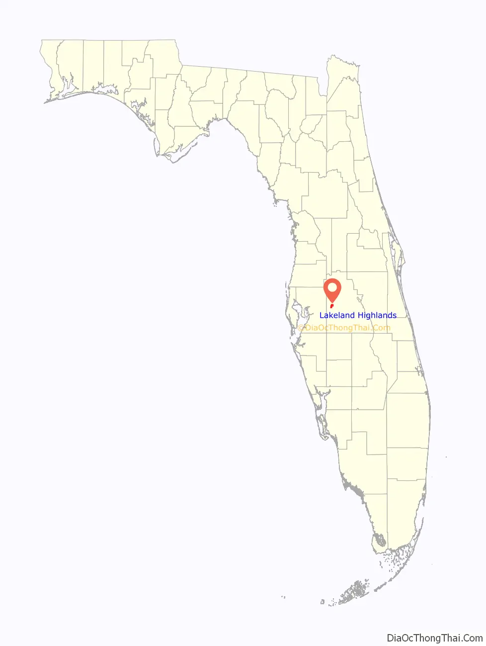
Lakeland Highlands location map. Where is Lakeland Highlands CDP?
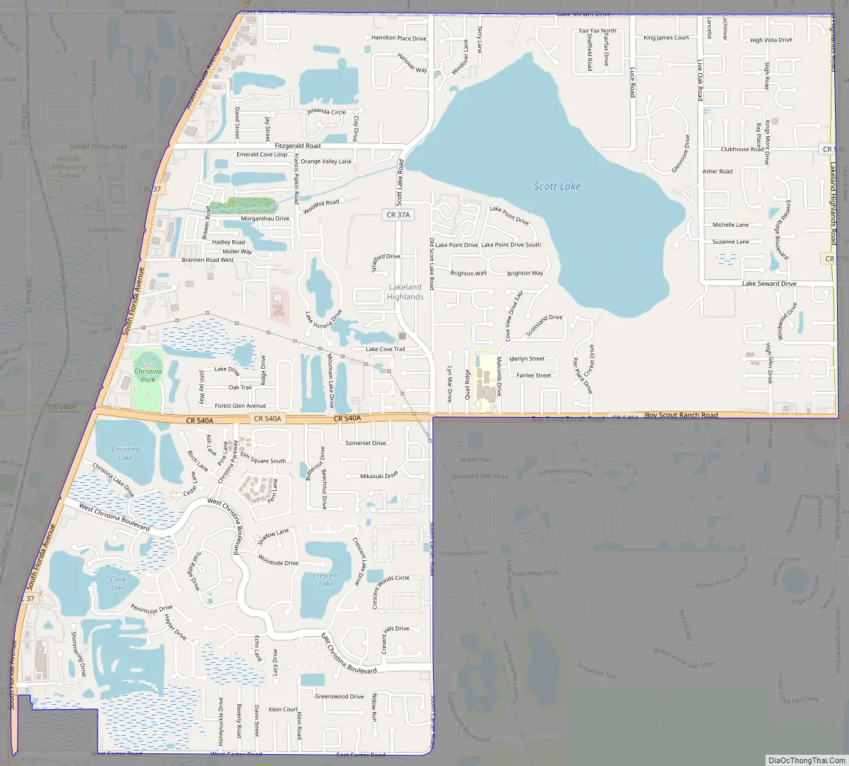
Lakeland Highlands Road Map
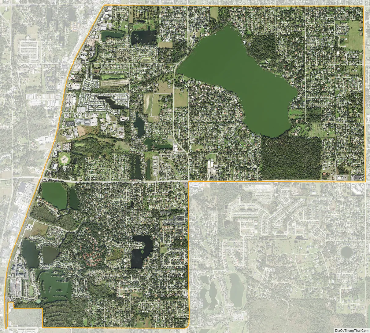
Lakeland Highlands city Satellite Map
Geography
Lakeland Highlands is located at 27°57′48″N 81°56′58″W / 27.96333°N 81.94944°W / 27.96333; -81.94944 (27.963351, -81.949439).
According to the United States Census Bureau, the CDP has a total area of 6.2 square miles (16 km), of which 5.6 square miles (15 km) is land and 0.6 square miles (1.6 km) (9.25%) is water.
See also
Map of Florida State and its subdivision:- Alachua
- Baker
- Bay
- Bradford
- Brevard
- Broward
- Calhoun
- Charlotte
- Citrus
- Clay
- Collier
- Columbia
- Desoto
- Dixie
- Duval
- Escambia
- Flagler
- Franklin
- Gadsden
- Gilchrist
- Glades
- Gulf
- Hamilton
- Hardee
- Hendry
- Hernando
- Highlands
- Hillsborough
- Holmes
- Indian River
- Jackson
- Jefferson
- Lafayette
- Lake
- Lee
- Leon
- Levy
- Liberty
- Madison
- Manatee
- Marion
- Martin
- Miami-Dade
- Monroe
- Nassau
- Okaloosa
- Okeechobee
- Orange
- Osceola
- Palm Beach
- Pasco
- Pinellas
- Polk
- Putnam
- Saint Johns
- Saint Lucie
- Santa Rosa
- Sarasota
- Seminole
- Sumter
- Suwannee
- Taylor
- Union
- Volusia
- Wakulla
- Walton
- Washington
- Alabama
- Alaska
- Arizona
- Arkansas
- California
- Colorado
- Connecticut
- Delaware
- District of Columbia
- Florida
- Georgia
- Hawaii
- Idaho
- Illinois
- Indiana
- Iowa
- Kansas
- Kentucky
- Louisiana
- Maine
- Maryland
- Massachusetts
- Michigan
- Minnesota
- Mississippi
- Missouri
- Montana
- Nebraska
- Nevada
- New Hampshire
- New Jersey
- New Mexico
- New York
- North Carolina
- North Dakota
- Ohio
- Oklahoma
- Oregon
- Pennsylvania
- Rhode Island
- South Carolina
- South Dakota
- Tennessee
- Texas
- Utah
- Vermont
- Virginia
- Washington
- West Virginia
- Wisconsin
- Wyoming