Lantana is a town in Palm Beach County, Florida, United States. It is 37 miles north from Fort Lauderdale. This town is part of the Miami metropolitan area. The population was 10,423 at the 2010 United States Census.
| Name: | Lantana town |
|---|---|
| LSAD Code: | 43 |
| LSAD Description: | town (suffix) |
| State: | Florida |
| County: | Palm Beach County |
| Elevation: | 10 ft (3 m) |
| Total Area: | 2.97 sq mi (7.69 km²) |
| Land Area: | 2.37 sq mi (6.13 km²) |
| Water Area: | 0.60 sq mi (1.56 km²) |
| Total Population: | 11,504 |
| Population Density: | 4,860.16/sq mi (1,876.77/km²) |
| ZIP code: | 33462 |
| Area code: | 561 |
| FIPS code: | 1239375 |
| GNISfeature ID: | 0285344 |
Online Interactive Map
Click on ![]() to view map in "full screen" mode.
to view map in "full screen" mode.
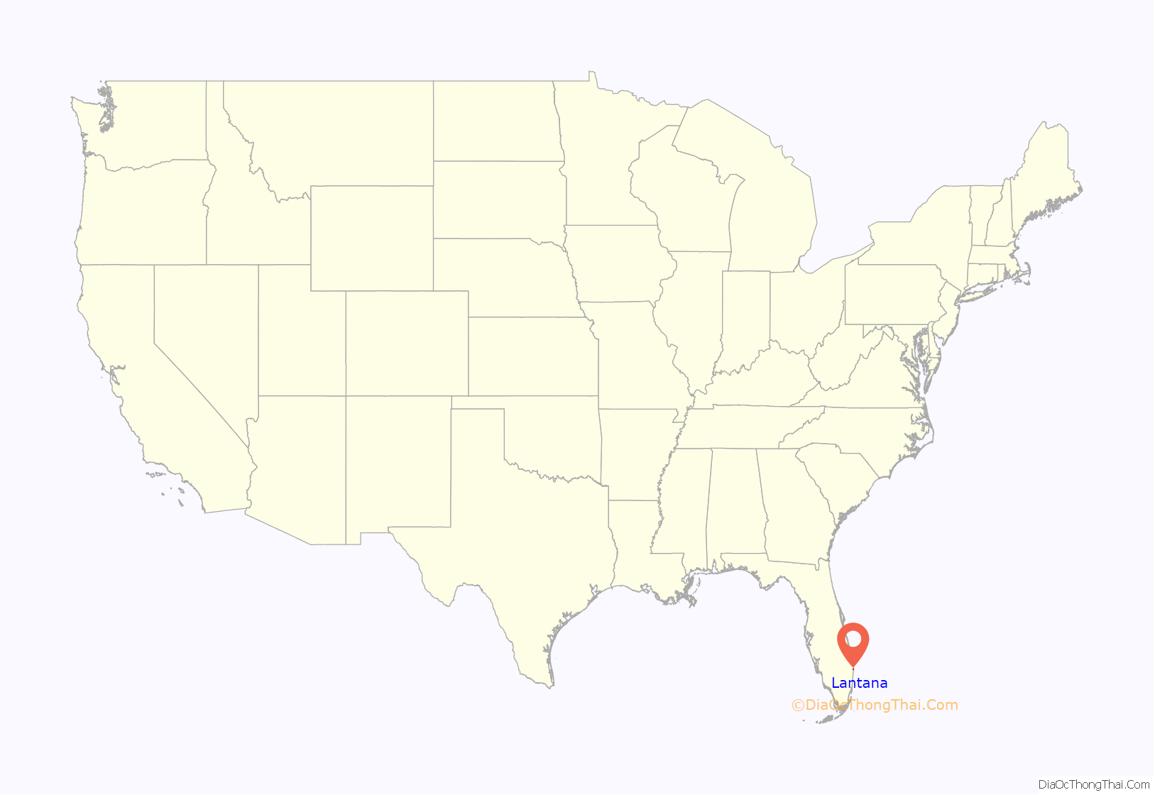
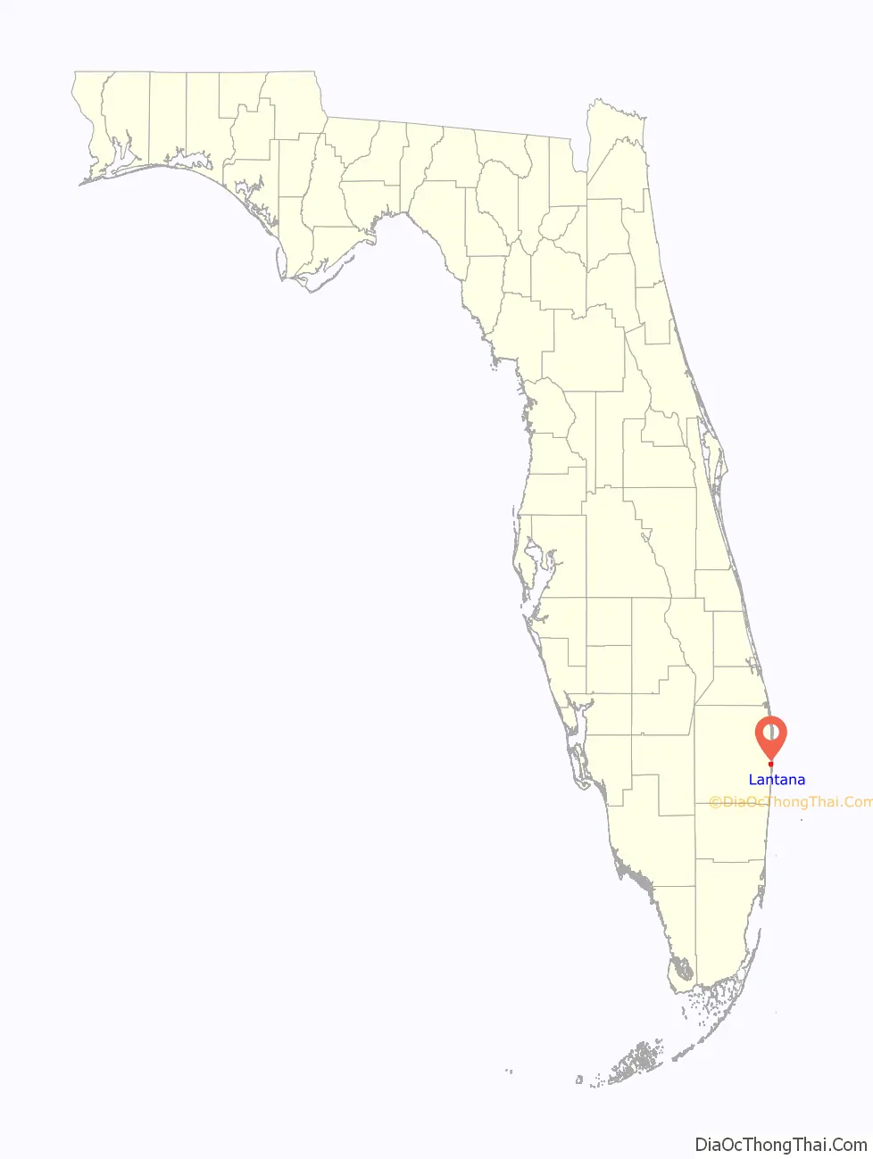
Lantana location map. Where is Lantana town?
History
The first settlers came to the area after Congress passed the Armed Occupation Act of 1842 at the end of the Seminole Wars during the Administration of President John Tyler. The M.B. Lyman family is credited with founding the town. Lyman arrived with his family in 1888 and within a year started several enterprises including a general store, Indian Trading Post and a post office. As postmaster, Lyman named the post office – Lantana Point – for the wild Lantana plants that grew in abundance in the area. The word Point was later dropped.
One of the other Lyman businesses was the Lantana Fish Company. In the early 1900s the gathering and marketing of oysters became the town’s leading industry. The Town of Lantana was incorporated on July 20, 1921, with 22 residents voting in the first election. At the time of incorporation, the area of Lantana was one square mile with a population of 100 residents.
After World War II, Lantana, like the rest of South Florida experienced a tremendous building boom which continues to this day. Interstate 95, which was completed through Lantana in the mid-1970s, brought a surge of commercial development to the town.
Since 1950, the town was the home of the A. G. Holley Hospital the last of the old state-run sanitariums for patients with tuberculosis. The facility treated about fifty patients at a time, those with the most obdurate forms of the disease. The facility was demolished in November 2014.
From 1974 until 1988, Lantana was home to the tradition of hosting the largest decorated Christmas tree in the world. Every year, a huge tree would be shipped from the Pacific Northwest to Lantana by rail to the grounds of the National Enquirer, adjacent to the Florida East Coast Railway tracks. The event would attract many visitors every night, and grew to be one of the most spectacular and celebrated holiday events in South Florida. This annual festivity ended in 1989 due to the sale of the National Enquirer following the death of its founder Generoso Pope Jr. at age of 61 in October 1988.
As of 2010, Lantana covers a total of 2.90 square miles (7.5 km) and has a population of 10,423.
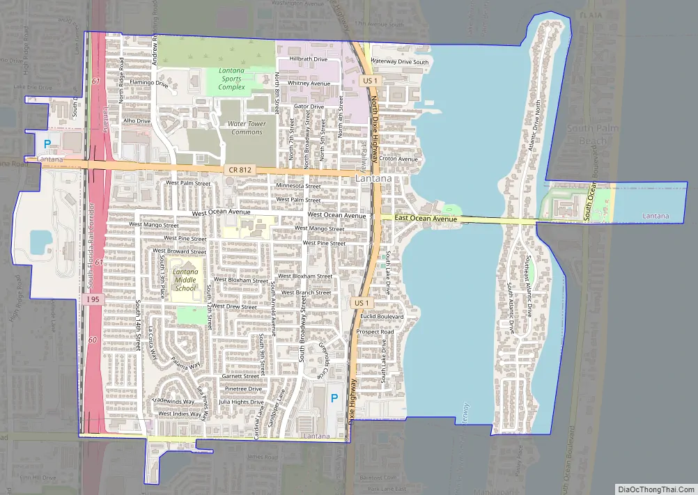
Lantana Road Map
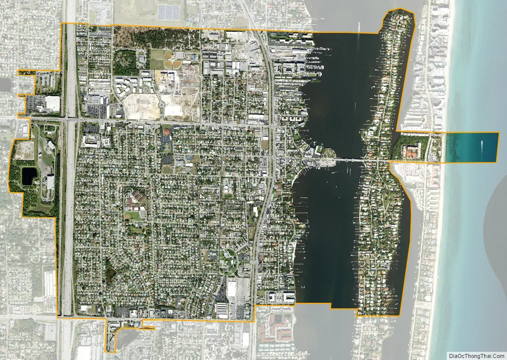
Lantana city Satellite Map
Geography
Lantana is located at 26°34′58″N 80°3′27″W / 26.58278°N 80.05750°W / 26.58278; -80.05750 (26.582797, –80.057587).
According to the United States Census Bureau, the town has a total area of 2.9 square miles (7.5 km), of which 2.3 square miles (6.0 km) is land and 0.6 square miles (1.6 km) (21.31%) is water.
See also
Map of Florida State and its subdivision:- Alachua
- Baker
- Bay
- Bradford
- Brevard
- Broward
- Calhoun
- Charlotte
- Citrus
- Clay
- Collier
- Columbia
- Desoto
- Dixie
- Duval
- Escambia
- Flagler
- Franklin
- Gadsden
- Gilchrist
- Glades
- Gulf
- Hamilton
- Hardee
- Hendry
- Hernando
- Highlands
- Hillsborough
- Holmes
- Indian River
- Jackson
- Jefferson
- Lafayette
- Lake
- Lee
- Leon
- Levy
- Liberty
- Madison
- Manatee
- Marion
- Martin
- Miami-Dade
- Monroe
- Nassau
- Okaloosa
- Okeechobee
- Orange
- Osceola
- Palm Beach
- Pasco
- Pinellas
- Polk
- Putnam
- Saint Johns
- Saint Lucie
- Santa Rosa
- Sarasota
- Seminole
- Sumter
- Suwannee
- Taylor
- Union
- Volusia
- Wakulla
- Walton
- Washington
- Alabama
- Alaska
- Arizona
- Arkansas
- California
- Colorado
- Connecticut
- Delaware
- District of Columbia
- Florida
- Georgia
- Hawaii
- Idaho
- Illinois
- Indiana
- Iowa
- Kansas
- Kentucky
- Louisiana
- Maine
- Maryland
- Massachusetts
- Michigan
- Minnesota
- Mississippi
- Missouri
- Montana
- Nebraska
- Nevada
- New Hampshire
- New Jersey
- New Mexico
- New York
- North Carolina
- North Dakota
- Ohio
- Oklahoma
- Oregon
- Pennsylvania
- Rhode Island
- South Carolina
- South Dakota
- Tennessee
- Texas
- Utah
- Vermont
- Virginia
- Washington
- West Virginia
- Wisconsin
- Wyoming


