Largo is the third largest city in Pinellas County, Florida, United States, as well as the fourth largest in the Tampa Bay area. As of the 2020 Census, the city had a population of 82,500, up from 69,371 in 2000.
Largo was first incorporated in 1905. In 1913, it became the first municipality in Pinellas County to adopt a council-manager government. It switched back and forth from “town” to “city” a few times, and became a city again in 1974. It was an exporter of agricultural products until the 1960s population growth began to transform it into a bedroom community. From 1905 to 2010, Largo grew in area from 9⁄16 square mile (1.5 km) to about 19 square miles (48 km), and in population from about 300 people to more than 70,000. Largo began as a rural farming community and became the third largest city in Florida’s most densely populated county.
Largo is a sister city to Tosayamada, Kōchi, Japan, and has been named a National Arbor Day Tree City for 32 years in a row.
| Name: | Largo city |
|---|---|
| LSAD Code: | 25 |
| LSAD Description: | city (suffix) |
| State: | Florida |
| County: | Pinellas County |
| Incorporated: | June 6, 1905 |
| Elevation: | 33 ft (10 m) |
| Total Area: | 19.59 sq mi (50.73 km²) |
| Land Area: | 18.60 sq mi (48.17 km²) |
| Water Area: | 0.99 sq mi (2.56 km²) |
| Total Population: | 82,485 |
| Population Density: | 4,435.39/sq mi (1,712.52/km²) |
| Area code: | 727 |
| FIPS code: | 1239425 |
| GNISfeature ID: | 285346 |
| Website: | www.largo.com |
Online Interactive Map
Click on ![]() to view map in "full screen" mode.
to view map in "full screen" mode.
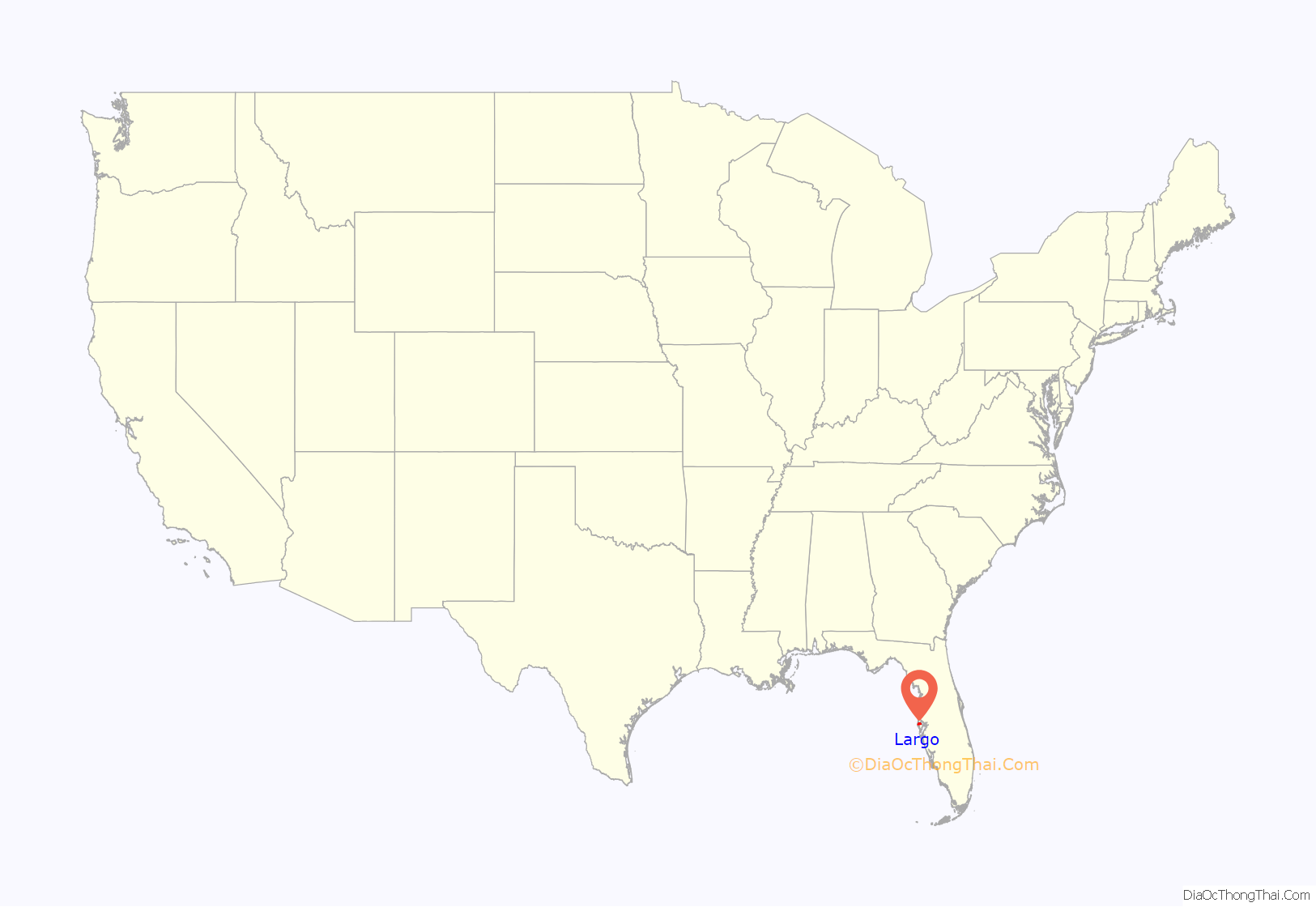
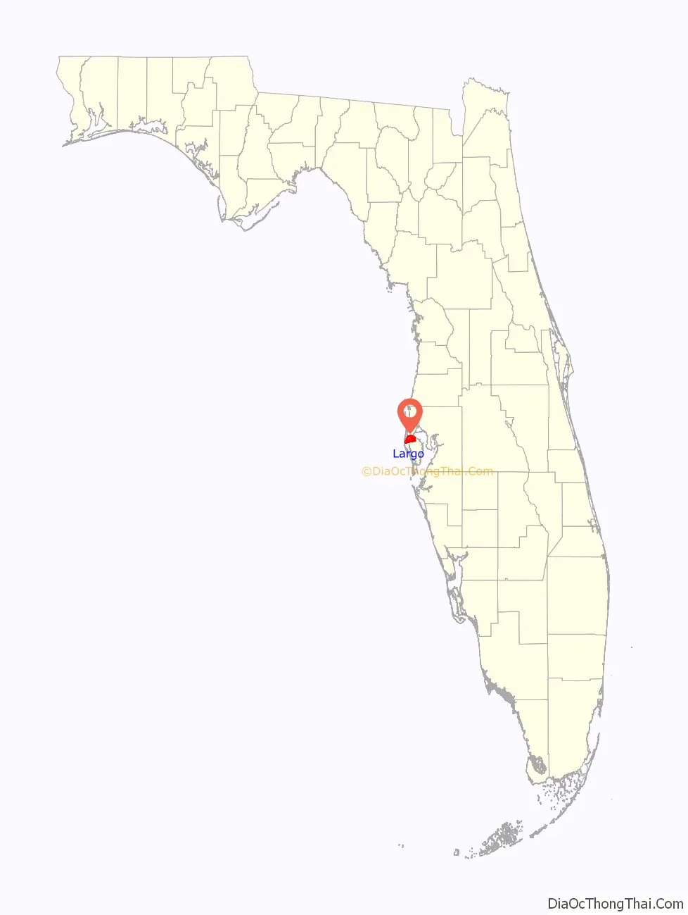
Largo location map. Where is Largo city?
History
Beginnings of the area
The native inhabitants of the Largo area were the Tocobaga Indians. They are also known as the Safety Harbor culture from their archeological remains near present-day Safety Harbor. The Spanish came to Florida in the 16th century. In the 18th century, the Tocobaga had been virtually destroyed after years of exposure to European diseases, Spanish settlement efforts and warfare between Spain and England. The Largo area, like the rest of Pinellas County, was largely deserted. In 1763, Spain transferred sovereignty of Florida to The United Kingdom. In 1783, Florida fell to Spanish sovereignty once again until it was transferred to the United States in 1821. By 1845, a surveyor recorded the location of Lake Tolulu, apparently south of present-day East Bay Drive and roughly where the Largo Central Park Nature Preserve is today.
Later, homesteaders to the Largo area were the families of James and Daniel McMullen around 1852. The McMullens and other settlers raised cattle, grew citrus and vegetables and fished. During the Civil War, many Largo area residents fought for the Confederate States of America. James and Daniel McMullen were members of the “Cow Cavalry” driving Florida cattle to Georgia and the Carolinas to help sustain the war effort. Other area residents served on blockade runners. Still others left the area to serve in the Confederacy’s armies. After the war, Largo area residents returned to farming, ranching, and raising citrus. The Orange Belt Railway reached the area in 1888. By this time Lake Tolulu had been renamed Lake Largo, and residents of the community west of the lake adopted the name “Largo”.
Early Largo
The Town of Largo was incorporated in 1905. Lake Largo was drained in 1916 to make way for growth and development. Between 1910 and 1930, Largo’s population increased about 500%. Then and for decades afterwards, Largo’s economy was based on agriculture—citrus groves, cattle ranches, and hog farms, as well as turpentine stills and sawmills. Largo is best remembered as “Citrus City”, from the time it was a citrus packing, canning and shipping center.
The Great Depression was unkind to Largo. Largo lacked the financial resources to meet its obligations. Largo reverted to its 1913 boundaries and charter. The population dropped approximately 30%. The debt incurred by the issuance of bonds in the late 1920s was not paid off until after World War II.
Rapid growth
The years after World War II saw rapid growth as people began moving into the area and Largo annexed surrounding lands. During the nuclear arms race, electronics companies like General Electric and Honeywell boosted the economy. The population increased to about 5,000 in 1960, to about 20,000 in 1970, and to about 70,000 in 2005. Largo’s original area was 9/16th of a square mile. By 1982, Largo had grown to about 13 square miles (34 km) and to about 19 square miles (48 km) in 2010. The groves, farms, ranches and forests have mostly given way to homes and shopping centers and light industry. The increased population resulted in a need for increased city services. All departments saw rapid growth and improvements in quality, especially under the leadership of the late Mayor Thom Feaster. In 1995, Largo Central Park opened on the site of the old Pinellas County Fairgrounds. It is the setting for the Largo Central Park Performing Arts Center and the Largo Public Library.
In the 2006 commission elections, Largo achieved two milestones furthering its former motto of “City of Progress”. Democrat Patricia Gerard became the city’s first female mayor. She narrowly defeated incumbent mayor Robert E. Jackson, in a bitterly contested race. (Dr. Jackson had been the longest serving elected Democrat in Pinellas County.) The voters’ choice between these two candidates decided the major issue of the election: that the city would not revert to a mayor-dominated process of governance in lieu of the continuing role for the seven-member commission acting as non-partisans—that is, deliberating independently and equally with the mayor and deciding democratically the political issues of the city.
Also, the city elected its first commissioner of African-American descent, Rodney J. Woods, in a landslide against a former commissioner.
On August 24, 2009, the iconic Largo Clock Tower, which was constructed shortly after completion of Largo Central Park, was demolished. City officials made the change because of the tower’s decay and because a deteriorating landmark at a busy intersection was not an uplifting and memorable sight. The area surrounding the clock tower was replaced with a small garden area in order to incorporate the area into Largo Central Park.
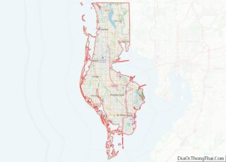
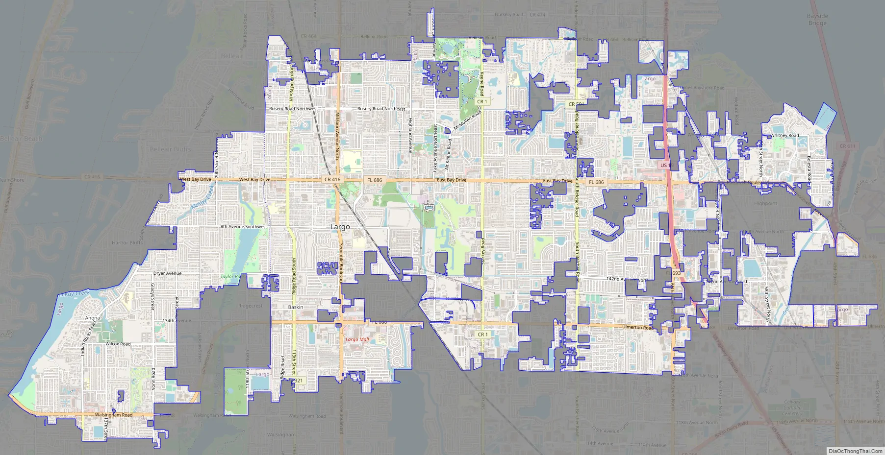
Largo Road Map
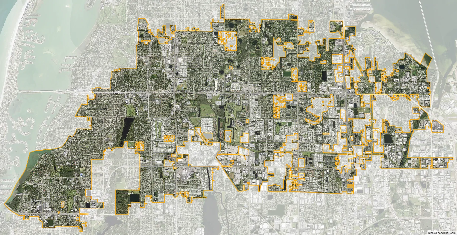
Largo city Satellite Map
Geography
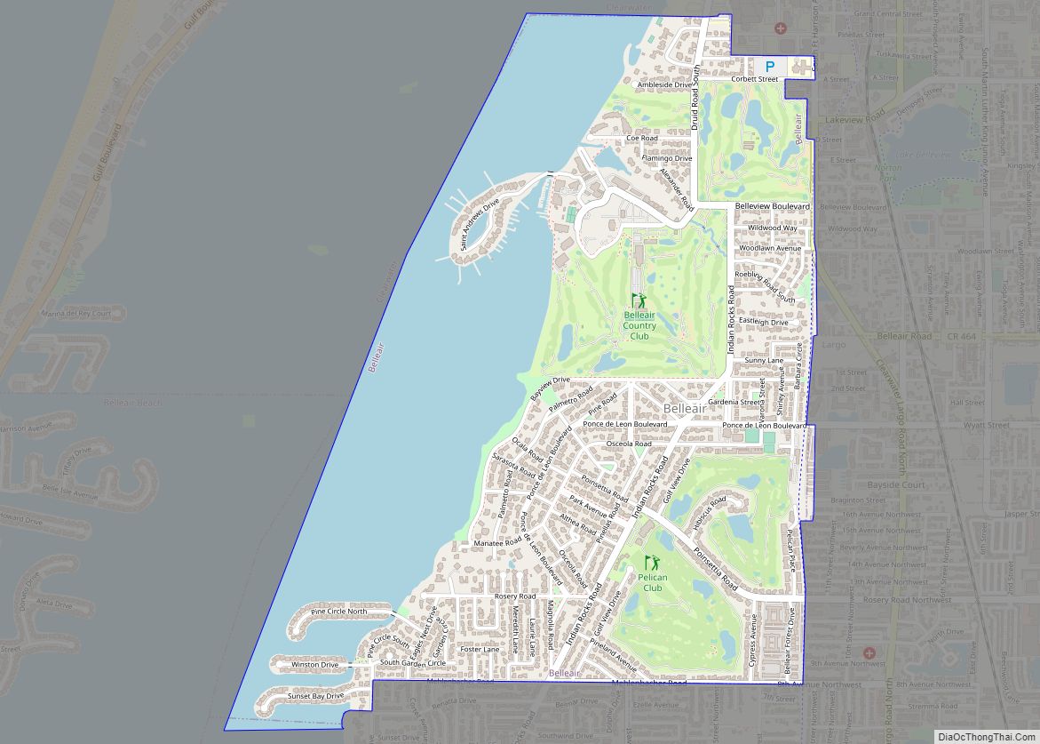
Largo is located at 27°54′30″N 82°46′40″W / 27.90833°N 82.77778°W / 27.90833; -82.77778 (27.908355, −82.777791). It is centrally located in Pinellas County, touching the Intracoastal Waterway to the southwest and Tampa Bay to the northeast. Clearwater is Largo’s neighbor to the north. To the northwest are the towns of Belleair and Belleair Bluffs. The city of Pinellas Park lies south of eastern Largo. Seminole lies south of western Largo. The unincorporated community of Ridgecrest forms a large enclave between western and central Largo. A number of county enclaves pepper the City of Largo.
In 2010, Largo’s total area was 18.6 square miles (48.1 km), of which 17.6 square miles (45.6 km) was land and 0.97 square miles (2.5 km), or 5.22%, was water. As of 2004, there were 651 acres (2.6 km) of park lands. The city’s lowest elevation is sea level. At its highest, the city’s elevation is about 69 feet (21 m). Largo is dotted with a number of lakes, the largest of which is Taylor Lake at 53 acres (210,000 m). Allen’s Creek drains northeast Largo, flowing into Tampa Bay. McKay Creek flows through southwest Largo into the Intracoastal Waterway. The McKay Creek basin is prone to flooding.
Climate
Largo is located on the Pinellas Peninsula, so that its climate is moderated by its proximity to the Gulf of Mexico and Tampa Bay. In the winter, temperatures are warmer on the Pinellas Peninsula than on mainland Florida. Winters are generally drier than the rest of the year. Most of the rainfall comes in the summer, when the sea breeze carries moisture from the Gulf inland. Largo’s record low is 22 °F (−6 °C), recorded on December 13, 1962. Largo’s record high is 100 °F (38 °C), recorded on July 5, 1995.
See also
Map of Florida State and its subdivision:- Alachua
- Baker
- Bay
- Bradford
- Brevard
- Broward
- Calhoun
- Charlotte
- Citrus
- Clay
- Collier
- Columbia
- Desoto
- Dixie
- Duval
- Escambia
- Flagler
- Franklin
- Gadsden
- Gilchrist
- Glades
- Gulf
- Hamilton
- Hardee
- Hendry
- Hernando
- Highlands
- Hillsborough
- Holmes
- Indian River
- Jackson
- Jefferson
- Lafayette
- Lake
- Lee
- Leon
- Levy
- Liberty
- Madison
- Manatee
- Marion
- Martin
- Miami-Dade
- Monroe
- Nassau
- Okaloosa
- Okeechobee
- Orange
- Osceola
- Palm Beach
- Pasco
- Pinellas
- Polk
- Putnam
- Saint Johns
- Saint Lucie
- Santa Rosa
- Sarasota
- Seminole
- Sumter
- Suwannee
- Taylor
- Union
- Volusia
- Wakulla
- Walton
- Washington
- Alabama
- Alaska
- Arizona
- Arkansas
- California
- Colorado
- Connecticut
- Delaware
- District of Columbia
- Florida
- Georgia
- Hawaii
- Idaho
- Illinois
- Indiana
- Iowa
- Kansas
- Kentucky
- Louisiana
- Maine
- Maryland
- Massachusetts
- Michigan
- Minnesota
- Mississippi
- Missouri
- Montana
- Nebraska
- Nevada
- New Hampshire
- New Jersey
- New Mexico
- New York
- North Carolina
- North Dakota
- Ohio
- Oklahoma
- Oregon
- Pennsylvania
- Rhode Island
- South Carolina
- South Dakota
- Tennessee
- Texas
- Utah
- Vermont
- Virginia
- Washington
- West Virginia
- Wisconsin
- Wyoming