Manalapan is a town in Palm Beach County, Florida, United States. The population was 419 at the 2020 United States census.
| Name: | Manalapan town |
|---|---|
| LSAD Code: | 43 |
| LSAD Description: | town (suffix) |
| State: | Florida |
| County: | Palm Beach County |
| Elevation: | 3 ft (1 m) |
| Total Area: | 10.52 sq mi (27.25 km²) |
| Land Area: | 0.45 sq mi (1.16 km²) |
| Water Area: | 10.07 sq mi (26.09 km²) |
| Total Population: | 419 |
| Population Density: | 937.36/sq mi (361.76/km²) |
| ZIP code: | 33462 |
| Area code: | 561 |
| FIPS code: | 1242700 |
| GNISfeature ID: | 0286344 |
| Website: | www.manalapan.org |
Online Interactive Map
Click on ![]() to view map in "full screen" mode.
to view map in "full screen" mode.
Manalapan location map. Where is Manalapan town?


History
United States President Benjamin Harrison granted George H. K. Carter a homestead in 1889 on the yet unnamed land. In 1931, the sparsely populated settlement was incorporated by Harold Stirling Vanderbilt as the “Town of Manalapan”. A large share of the first settlers being natives of Manalapan, New Jersey caused the name to be selected.
One of the most puzzling mysteries in Florida history was the disappearance of Circuit Judge Curtis Chillingworth and his wife Marjorie, who left a friend’s home on the night of June 14, 1955, en route to their oceanfront cottage in Manalapan. It was established five years later that the couple were murdered by hitmen hired by one of Curtis Chillingworth’s fellow judges. The Chillingworths were thrown overboard from a boat into the ocean with lead weights strapped to their legs; their bodies were never recovered.
The U.S. presidential yacht Sequoia was auctioned at the La Coquille Club in Manalapan on May 18, 1977 during the Carter administration, for US$286,000 as a symbolic cutback in Federal Government spending (annual cost to the U.S. Navy was $800,000) and to reduce signs of an “imperial presidency”.
The popular tourist restaurant John G’s moved to Manalapan in 2011.
A 22-acre property in Manalapan was purchased by Larry Ellison in 2022 for $173 million, making it the most expensive home sale in Florida history. The property spans A1A and is connected by a series of tunnels under the road.
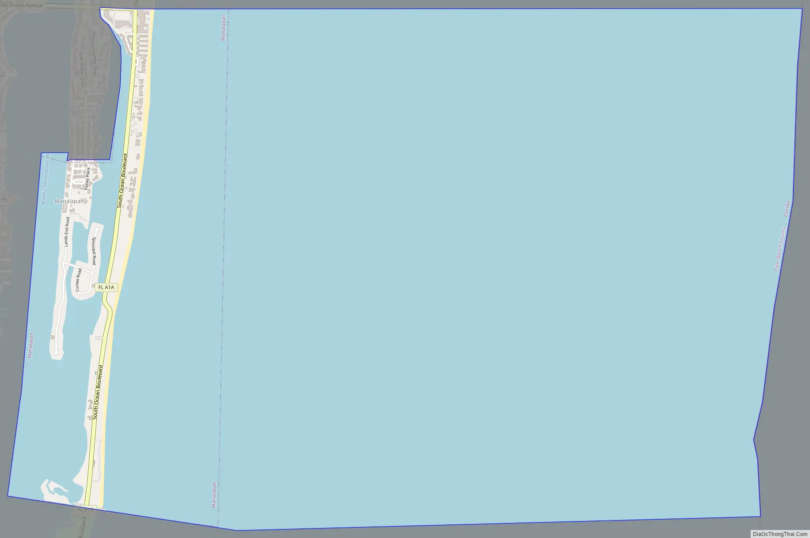
Manalapan Road Map
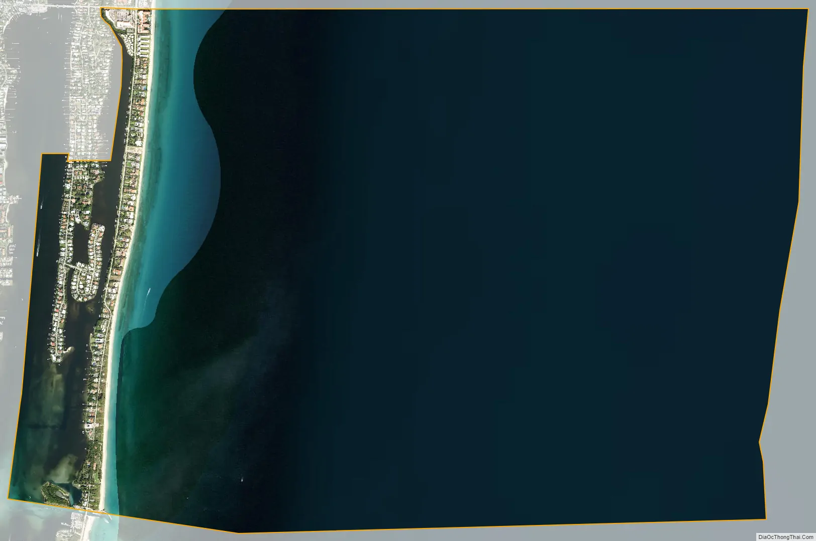
Manalapan city Satellite Map
Geography
Manalapan is located at 26°33′52″N 80°02′36″W / 26.564397°N 80.043359°W / 26.564397; -80.043359.
Manalapan is a small beach side community. It is bordered on the north by the bridge, beach access road and beach for the Town of Lantana, Florida; on the west by the Lake Worth Lagoon; on the south by the South Lake Worth Inlet (known locally as “Boynton Inlet”); and on the east by the Atlantic Ocean.
According to the United States Census Bureau, the town has a total area of 2.4 square miles (6.2 km), of which 0.4 square miles (1.0 km) is land and 2.0 square miles (5.2 km) (81.48%) is water.
See also
Map of Florida State and its subdivision:- Alachua
- Baker
- Bay
- Bradford
- Brevard
- Broward
- Calhoun
- Charlotte
- Citrus
- Clay
- Collier
- Columbia
- Desoto
- Dixie
- Duval
- Escambia
- Flagler
- Franklin
- Gadsden
- Gilchrist
- Glades
- Gulf
- Hamilton
- Hardee
- Hendry
- Hernando
- Highlands
- Hillsborough
- Holmes
- Indian River
- Jackson
- Jefferson
- Lafayette
- Lake
- Lee
- Leon
- Levy
- Liberty
- Madison
- Manatee
- Marion
- Martin
- Miami-Dade
- Monroe
- Nassau
- Okaloosa
- Okeechobee
- Orange
- Osceola
- Palm Beach
- Pasco
- Pinellas
- Polk
- Putnam
- Saint Johns
- Saint Lucie
- Santa Rosa
- Sarasota
- Seminole
- Sumter
- Suwannee
- Taylor
- Union
- Volusia
- Wakulla
- Walton
- Washington
- Alabama
- Alaska
- Arizona
- Arkansas
- California
- Colorado
- Connecticut
- Delaware
- District of Columbia
- Florida
- Georgia
- Hawaii
- Idaho
- Illinois
- Indiana
- Iowa
- Kansas
- Kentucky
- Louisiana
- Maine
- Maryland
- Massachusetts
- Michigan
- Minnesota
- Mississippi
- Missouri
- Montana
- Nebraska
- Nevada
- New Hampshire
- New Jersey
- New Mexico
- New York
- North Carolina
- North Dakota
- Ohio
- Oklahoma
- Oregon
- Pennsylvania
- Rhode Island
- South Carolina
- South Dakota
- Tennessee
- Texas
- Utah
- Vermont
- Virginia
- Washington
- West Virginia
- Wisconsin
- Wyoming


