Margate is a city in Broward County, Florida, United States. As of the 2020 census, the city had a population of 58,712. Margate is part of the Miami metropolitan area, which was home to 6,166,488 people in 2020.
Margate was founded in the 1950s, when much of it was still either part of the Everglades or farmland. It became a town in 1955, when land development became prominent due to an influx of people moving to Margate. In 1961, it was officially incorporated as a city. The name Margate is a portmanteau of the first three letters of the founder’s last name, Jack Marqusee, and the first four letters of gateway, since it was considered a “gateway” to western Broward County. The city has a waterpark called Calypso Cove and two golf courses: The Carolina Golf Club and the Oriole Golf and Tennis Club.
| Name: | Margate city |
|---|---|
| LSAD Code: | 25 |
| LSAD Description: | city (suffix) |
| State: | Florida |
| County: | Broward County |
| Elevation: | 9 ft (3 m) |
| Land Area: | 8.76 sq mi (22.69 km²) |
| Water Area: | 0.29 sq mi (0.74 km²) 1.89% |
| Population Density: | 6,702.28/sq mi (2,587.75/km²) |
| ZIP code: | 33063, 33065, 33068, 33073, 33093 |
| Area code: | 954, 754 |
| FIPS code: | 1243125 |
| GNISfeature ID: | 0286413 |
| Website: | http://www.margatefl.com/ |
Online Interactive Map
Click on ![]() to view map in "full screen" mode.
to view map in "full screen" mode.
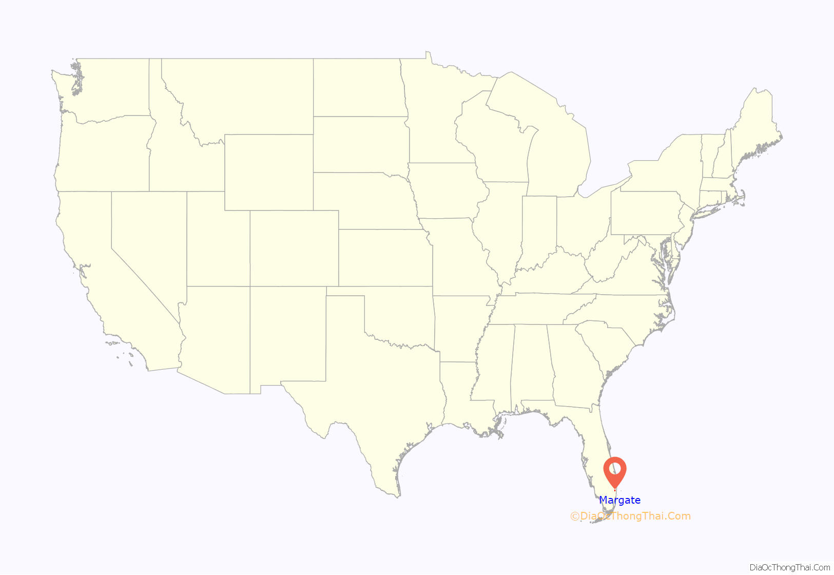
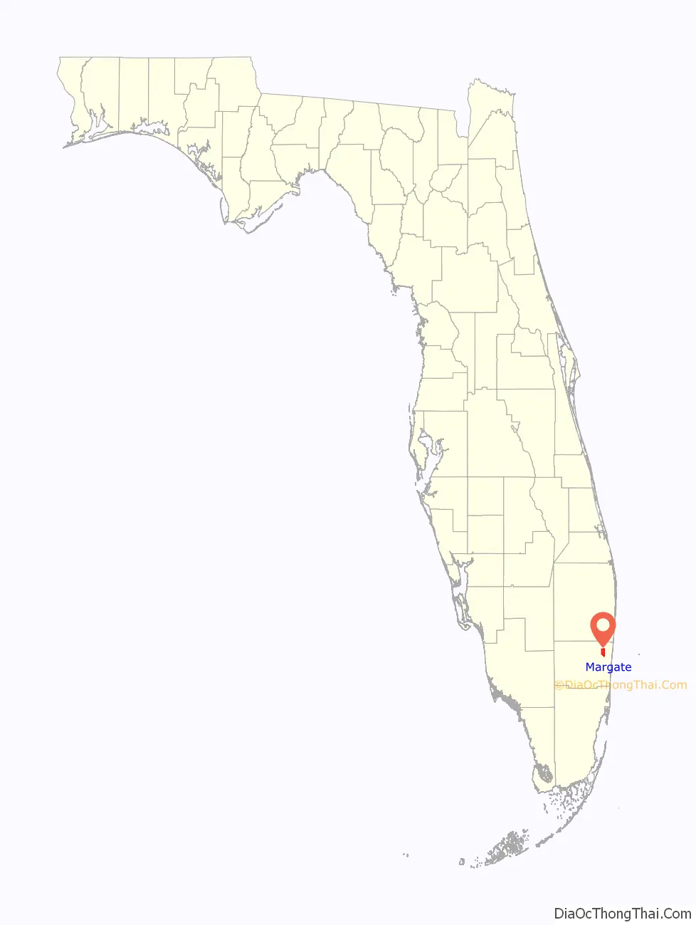
Margate location map. Where is Margate city?
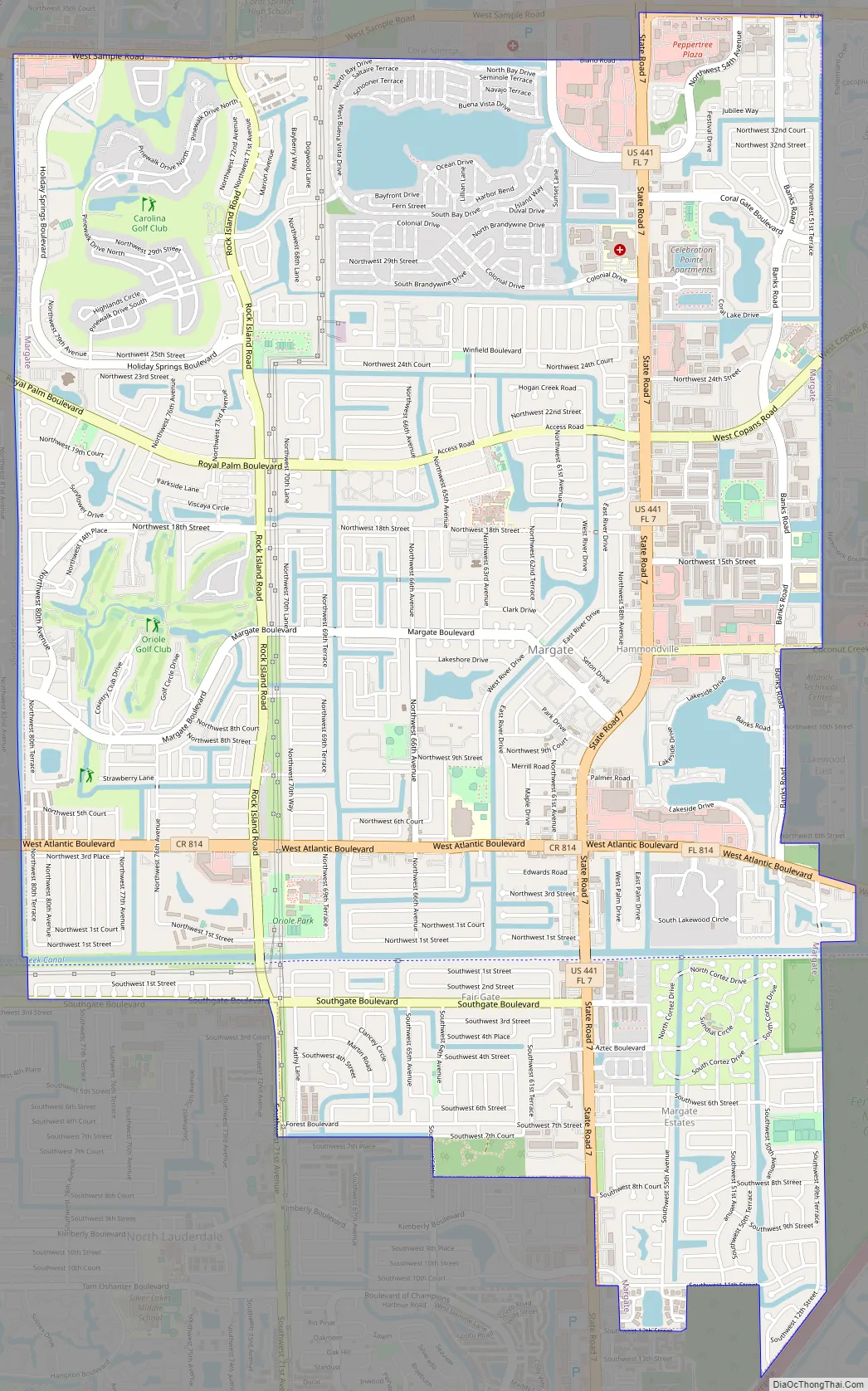
Margate Road Map
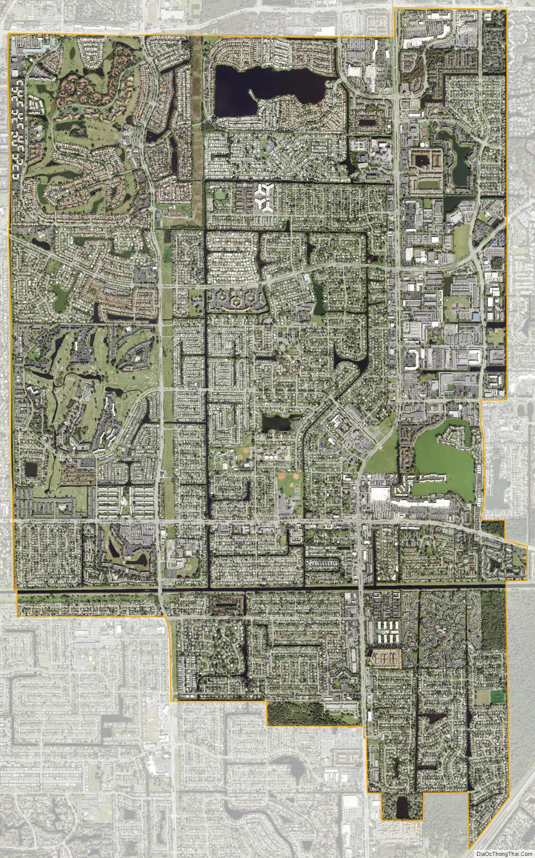
Margate city Satellite Map
Geography
Margate is located at 26°14′47″N 80°12′44″W / 26.246259°N 80.212343°W / 26.246259; -80.212343., and it is seven and one-half miles from the Atlantic Ocean.
According to the United States Census Bureau, the city has a total area of 8.98 square miles (23 km), of which 8.81 square miles (23 km) is land and 0.17 square miles (0 km) is water (1.89%).
See also
Map of Florida State and its subdivision:- Alachua
- Baker
- Bay
- Bradford
- Brevard
- Broward
- Calhoun
- Charlotte
- Citrus
- Clay
- Collier
- Columbia
- Desoto
- Dixie
- Duval
- Escambia
- Flagler
- Franklin
- Gadsden
- Gilchrist
- Glades
- Gulf
- Hamilton
- Hardee
- Hendry
- Hernando
- Highlands
- Hillsborough
- Holmes
- Indian River
- Jackson
- Jefferson
- Lafayette
- Lake
- Lee
- Leon
- Levy
- Liberty
- Madison
- Manatee
- Marion
- Martin
- Miami-Dade
- Monroe
- Nassau
- Okaloosa
- Okeechobee
- Orange
- Osceola
- Palm Beach
- Pasco
- Pinellas
- Polk
- Putnam
- Saint Johns
- Saint Lucie
- Santa Rosa
- Sarasota
- Seminole
- Sumter
- Suwannee
- Taylor
- Union
- Volusia
- Wakulla
- Walton
- Washington
- Alabama
- Alaska
- Arizona
- Arkansas
- California
- Colorado
- Connecticut
- Delaware
- District of Columbia
- Florida
- Georgia
- Hawaii
- Idaho
- Illinois
- Indiana
- Iowa
- Kansas
- Kentucky
- Louisiana
- Maine
- Maryland
- Massachusetts
- Michigan
- Minnesota
- Mississippi
- Missouri
- Montana
- Nebraska
- Nevada
- New Hampshire
- New Jersey
- New Mexico
- New York
- North Carolina
- North Dakota
- Ohio
- Oklahoma
- Oregon
- Pennsylvania
- Rhode Island
- South Carolina
- South Dakota
- Tennessee
- Texas
- Utah
- Vermont
- Virginia
- Washington
- West Virginia
- Wisconsin
- Wyoming


