Masaryktown is an unincorporated community and census-designated place (CDP) in Hernando County, Florida, United States. The population was 1,077 at the 2020 census. It is named after the first president of Czechoslovakia, Tomáš Garrigue Masaryk.
| Name: | Masaryktown CDP |
|---|---|
| LSAD Code: | 57 |
| LSAD Description: | CDP (suffix) |
| State: | Florida |
| County: | Hernando County |
| Elevation: | 62 ft (19 m) |
| Total Area: | 1.05 sq mi (2.72 km²) |
| Land Area: | 1.05 sq mi (2.71 km²) |
| Water Area: | 0.01 sq mi (0.01 km²) |
| Total Population: | 1,077 |
| Population Density: | 1,029.64/sq mi (397.63/km²) |
| ZIP code: | 34604 |
| Area code: | 352 |
| FIPS code: | 1243400 |
| GNISfeature ID: | 0286497 |
Online Interactive Map
Click on ![]() to view map in "full screen" mode.
to view map in "full screen" mode.
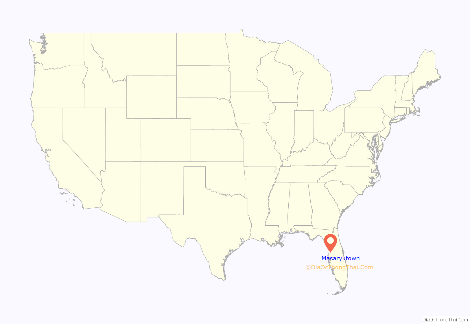
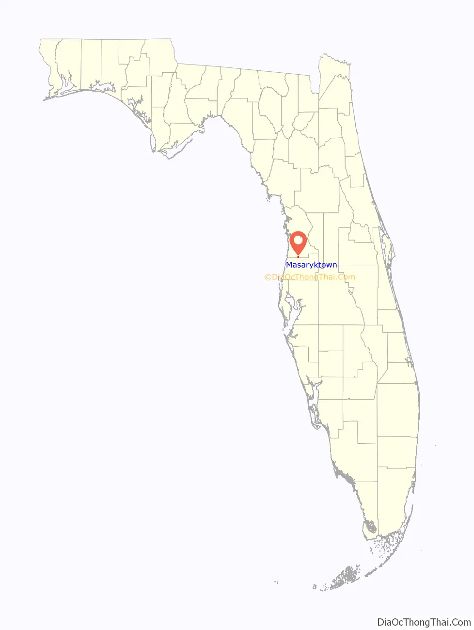
Masaryktown location map. Where is Masaryktown CDP?
History
Masaryktown was founded in 1924 and named after Tomáš Garrigue Masaryk, the founder and first president of Czechoslovakia. Of the original 61 persons who met to found the town, 60 were Slovak and only one was Czech. They formed the Hernando Plantation Company and sold at a price of $1,000.00 per share, which granted the right for each share-owner to purchase 20 acres of land. The settlers first planted oranges, but killer frosts devastated the orchards. Many Slovaks eventually left, and by 1952, only 15-25 families remained to carry on a more prosperous enterprise in chicken farming. But even they declined by 1965 due to intense competition.
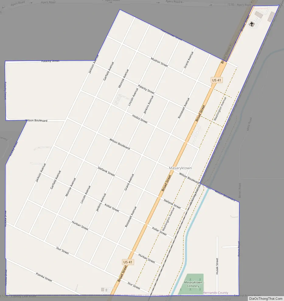
Few Slovaks remain there today, but the legacy of their settlement remains, as the original founders named the streets running east to west after Slovak national and literary leaders such as Štúr, Hurban, Kollár, Štefánik, Hodža, Hviezdoslav, and Mudron. One street is named after the famous Czech historian, Palacký, and the central boulevard is named after Masaryk. North-south streets are named in honor of American presidents such as Wilson, who assisted in enabling Czecho-Slovak independence, as well as Jefferson, Madison, and Lincoln.
Masaryktown Road Map
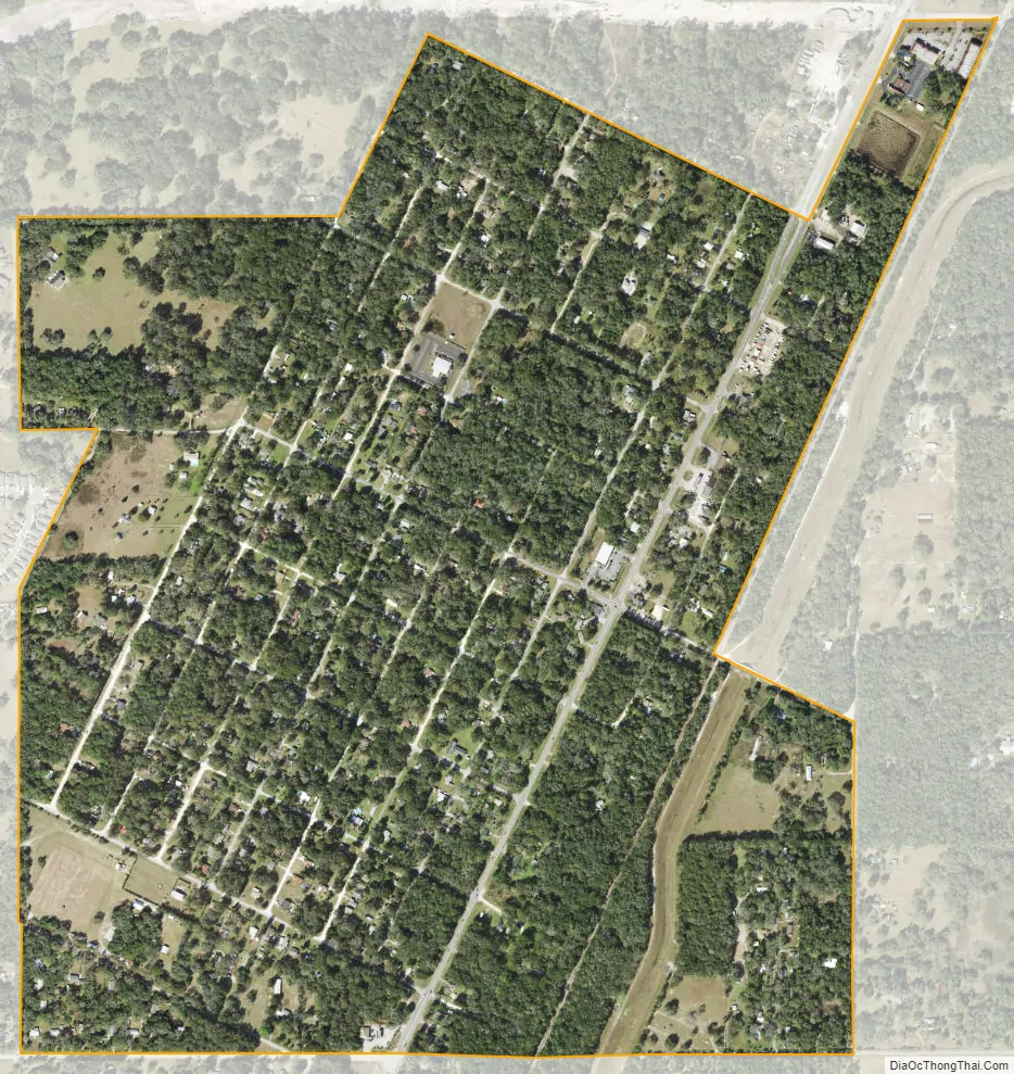
Masaryktown city Satellite Map
Geography
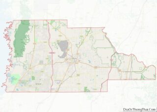
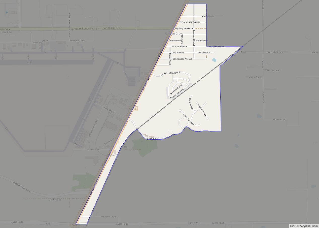
Masaryktown is located along the southern edge of Hernando County at 28°26′30″N 82°27′38″W / 28.44167°N 82.46056°W / 28.44167; -82.46056 (28.441708, -82.460633). It is bordered to the north and west by Spring Hill, to the northeast by Garden Grove, and to the south in Pasco County by Shady Hills. U.S. Route 41 runs through the eastern side of the community, leading north 9 miles (14 km) to Brooksville, the Hernando County seat, and south 17 miles (27 km) to Land o’ Lakes. Tampa is 36 miles (58 km) to the south.
According to the United States Census Bureau, Masaryktown has a total area of 1.0 square mile (2.7 km), of which 0.004 square miles (0.01 km), or 0.53%, are water.
See also
Map of Florida State and its subdivision:- Alachua
- Baker
- Bay
- Bradford
- Brevard
- Broward
- Calhoun
- Charlotte
- Citrus
- Clay
- Collier
- Columbia
- Desoto
- Dixie
- Duval
- Escambia
- Flagler
- Franklin
- Gadsden
- Gilchrist
- Glades
- Gulf
- Hamilton
- Hardee
- Hendry
- Hernando
- Highlands
- Hillsborough
- Holmes
- Indian River
- Jackson
- Jefferson
- Lafayette
- Lake
- Lee
- Leon
- Levy
- Liberty
- Madison
- Manatee
- Marion
- Martin
- Miami-Dade
- Monroe
- Nassau
- Okaloosa
- Okeechobee
- Orange
- Osceola
- Palm Beach
- Pasco
- Pinellas
- Polk
- Putnam
- Saint Johns
- Saint Lucie
- Santa Rosa
- Sarasota
- Seminole
- Sumter
- Suwannee
- Taylor
- Union
- Volusia
- Wakulla
- Walton
- Washington
- Alabama
- Alaska
- Arizona
- Arkansas
- California
- Colorado
- Connecticut
- Delaware
- District of Columbia
- Florida
- Georgia
- Hawaii
- Idaho
- Illinois
- Indiana
- Iowa
- Kansas
- Kentucky
- Louisiana
- Maine
- Maryland
- Massachusetts
- Michigan
- Minnesota
- Mississippi
- Missouri
- Montana
- Nebraska
- Nevada
- New Hampshire
- New Jersey
- New Mexico
- New York
- North Carolina
- North Dakota
- Ohio
- Oklahoma
- Oregon
- Pennsylvania
- Rhode Island
- South Carolina
- South Dakota
- Tennessee
- Texas
- Utah
- Vermont
- Virginia
- Washington
- West Virginia
- Wisconsin
- Wyoming