Mascotte is a city in Lake County, Florida, United States. As of the 2020 census, the population was 6,609, up from 5,101 in 2010. It is part of the Orlando–Kissimmee–Sanford Metropolitan Statistical Area.
| Name: | Mascotte city |
|---|---|
| LSAD Code: | 25 |
| LSAD Description: | city (suffix) |
| State: | Florida |
| County: | Lake County |
| Elevation: | 92 ft (28 m) |
| Total Area: | 18.05 sq mi (46.74 km²) |
| Land Area: | 12.38 sq mi (32.08 km²) |
| Water Area: | 5.66 sq mi (14.67 km²) |
| Total Population: | 6,609 |
| Population Density: | 533.67/sq mi (206.05/km²) |
| ZIP code: | 34753 |
| Area code: | 352 |
| FIPS code: | 1243425 |
| GNISfeature ID: | 2405037 |
| Website: | www.cityofmascotte.com |
Online Interactive Map
Click on ![]() to view map in "full screen" mode.
to view map in "full screen" mode.
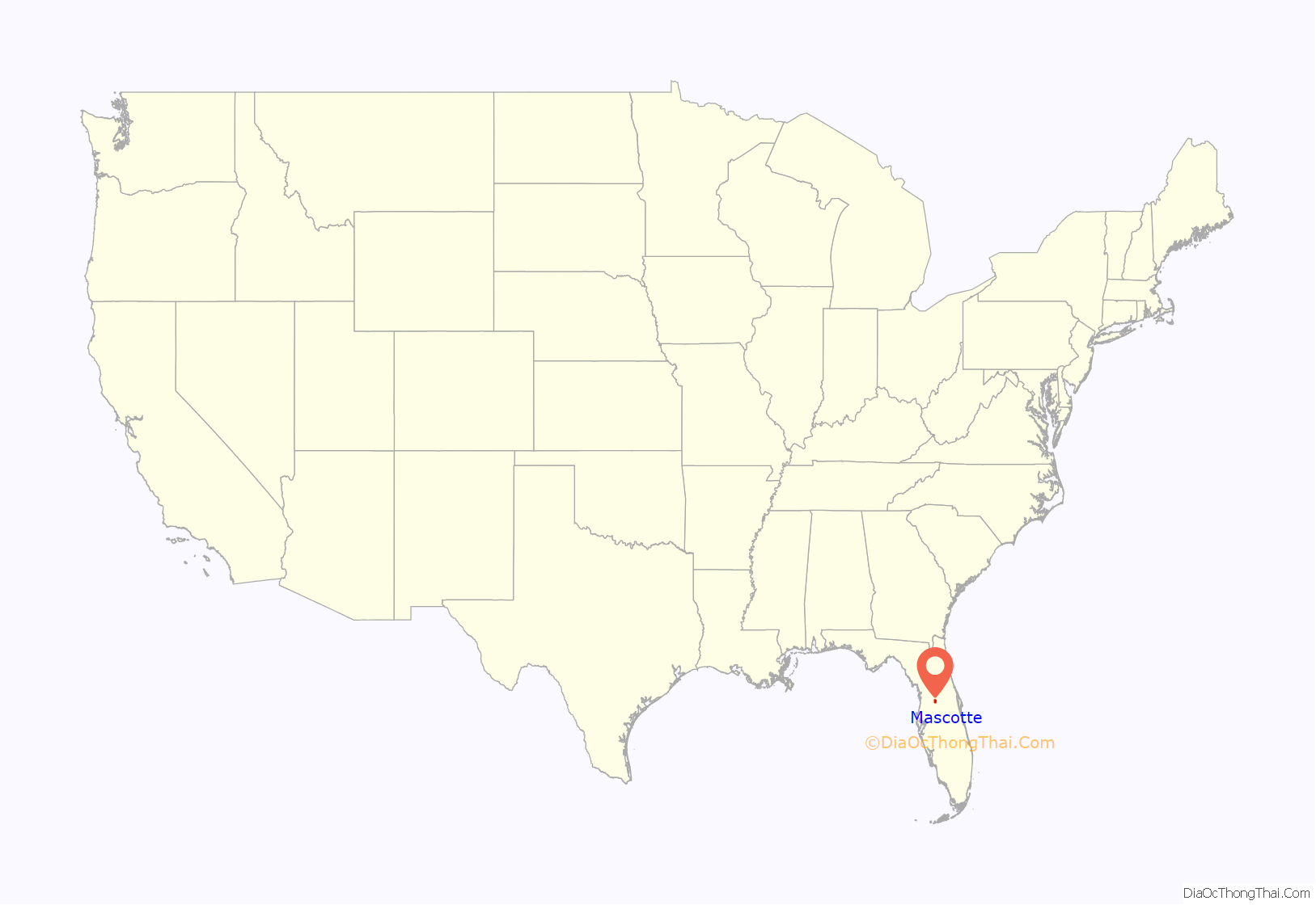
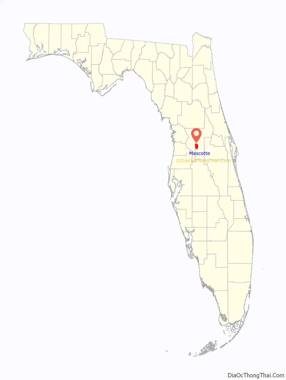
Mascotte location map. Where is Mascotte city?
History
The town is named for the Mascotte, a ship that was used to haul tobacco from Cuba during the Spanish–American War owned by Tampa civic booster Henry B. Plant. The ship appears on the seals of both Tampa and Mascotte. There are numerous photos of the Mascotte in service between Tampa, Key West and Havana, 1886 through 1924, until sold north.
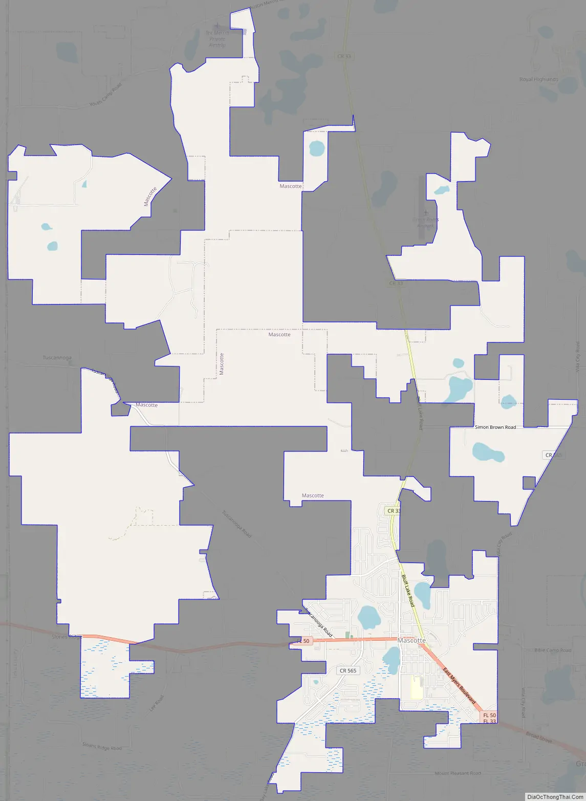
Mascotte Road Map
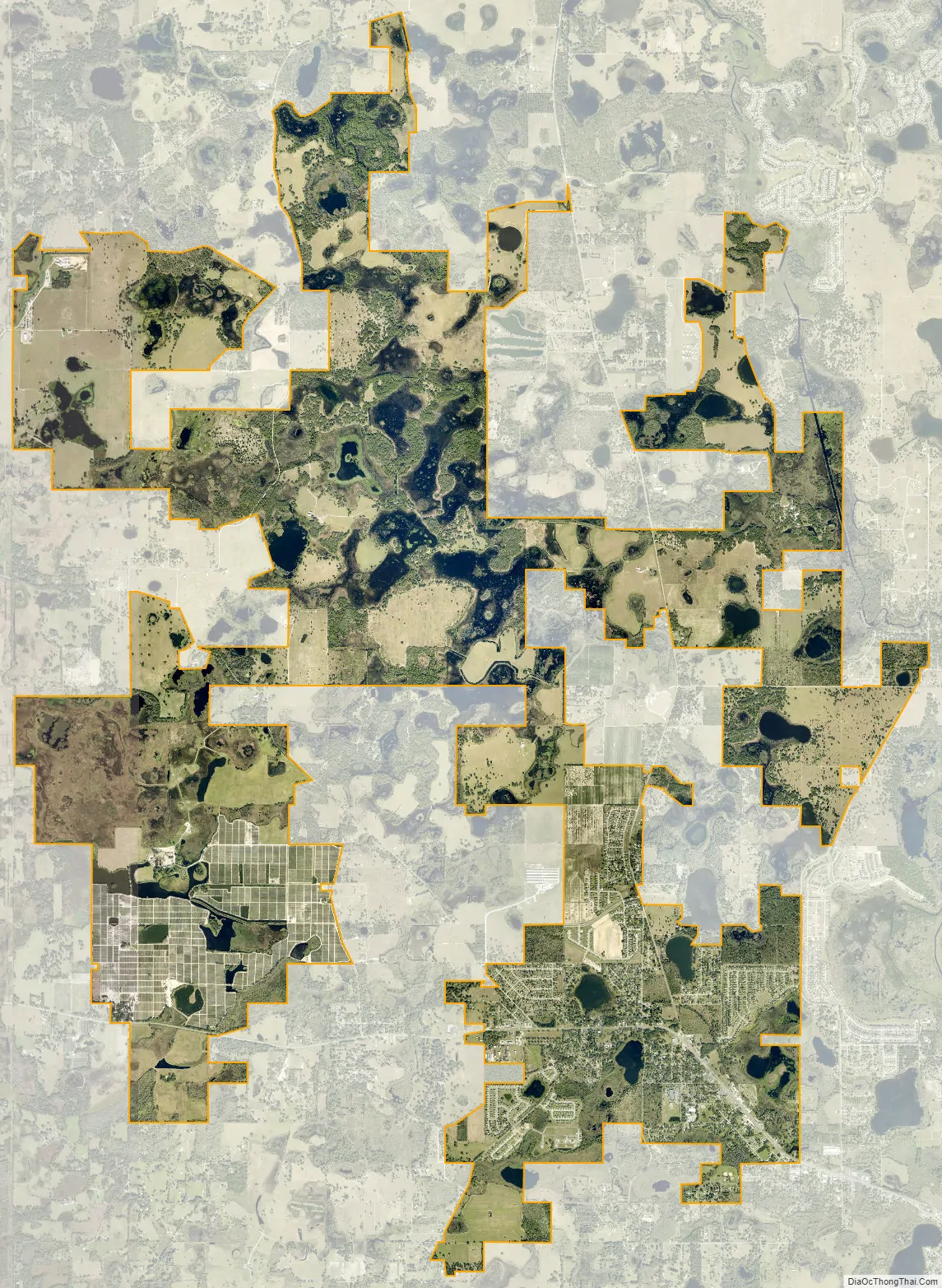
Mascotte city Satellite Map
Geography
According to the United States Census Bureau, the city has a total area of 2.8 square miles (7.3 km), of which 2.4 square miles (6.2 km) is land and 0.4 square miles (1.0 km) (13.83%) is water.
See also
Map of Florida State and its subdivision:- Alachua
- Baker
- Bay
- Bradford
- Brevard
- Broward
- Calhoun
- Charlotte
- Citrus
- Clay
- Collier
- Columbia
- Desoto
- Dixie
- Duval
- Escambia
- Flagler
- Franklin
- Gadsden
- Gilchrist
- Glades
- Gulf
- Hamilton
- Hardee
- Hendry
- Hernando
- Highlands
- Hillsborough
- Holmes
- Indian River
- Jackson
- Jefferson
- Lafayette
- Lake
- Lee
- Leon
- Levy
- Liberty
- Madison
- Manatee
- Marion
- Martin
- Miami-Dade
- Monroe
- Nassau
- Okaloosa
- Okeechobee
- Orange
- Osceola
- Palm Beach
- Pasco
- Pinellas
- Polk
- Putnam
- Saint Johns
- Saint Lucie
- Santa Rosa
- Sarasota
- Seminole
- Sumter
- Suwannee
- Taylor
- Union
- Volusia
- Wakulla
- Walton
- Washington
- Alabama
- Alaska
- Arizona
- Arkansas
- California
- Colorado
- Connecticut
- Delaware
- District of Columbia
- Florida
- Georgia
- Hawaii
- Idaho
- Illinois
- Indiana
- Iowa
- Kansas
- Kentucky
- Louisiana
- Maine
- Maryland
- Massachusetts
- Michigan
- Minnesota
- Mississippi
- Missouri
- Montana
- Nebraska
- Nevada
- New Hampshire
- New Jersey
- New Mexico
- New York
- North Carolina
- North Dakota
- Ohio
- Oklahoma
- Oregon
- Pennsylvania
- Rhode Island
- South Carolina
- South Dakota
- Tennessee
- Texas
- Utah
- Vermont
- Virginia
- Washington
- West Virginia
- Wisconsin
- Wyoming


