Montverde is a town in Lake County, Florida, United States. The population was 1,655 at the 2020 census and an estimated 1,675 in 2018. It is part of the Orlando–Kissimmee–Sanford Metropolitan Statistical Area.
| Name: | Montverde town |
|---|---|
| LSAD Code: | 43 |
| LSAD Description: | town (suffix) |
| State: | Florida |
| County: | Lake County |
| Elevation: | 75 ft (23 m) |
| Total Area: | 1.88 sq mi (4.88 km²) |
| Land Area: | 1.67 sq mi (4.34 km²) |
| Water Area: | 0.21 sq mi (0.54 km²) |
| Total Population: | 1,655 |
| Population Density: | 988.65/sq mi (381.70/km²) |
| ZIP code: | 34756 |
| Area code: | 407, 689 |
| FIPS code: | 1246525 |
| GNISfeature ID: | 2406185 |
| Website: | www.mymontverde.com |
Online Interactive Map
Click on ![]() to view map in "full screen" mode.
to view map in "full screen" mode.
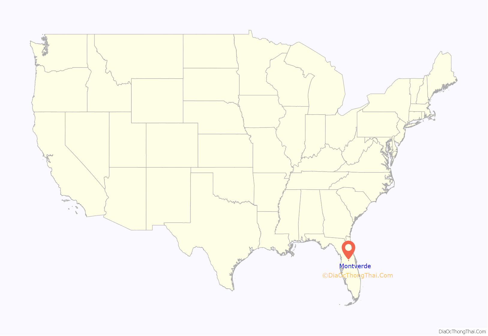
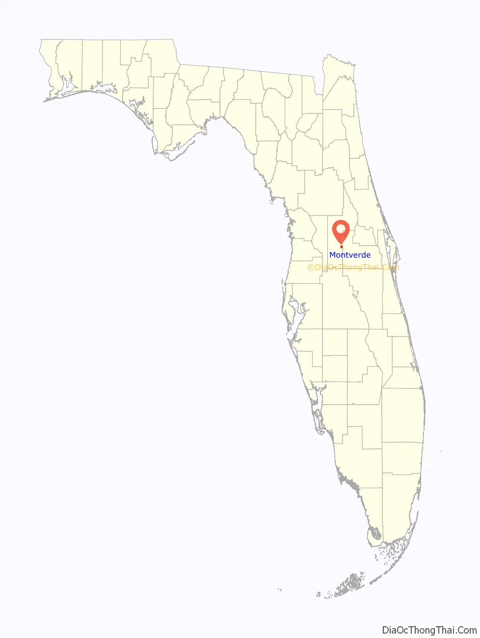
Montverde location map. Where is Montverde town?
History
Montverde was the location of a Native American settlement and burial ground. The earliest record of American settlement is from 1865. Initially named “West Lake Apopka”, the site took the name “Monte Verde” from a settler from Vermont who remarked on its rolling green hills while arriving at the site by boat on Lake Apopka. The town of Montverde was incorporated on May 18, 1925.
The central feature of the town is Montverde Academy, a private preparatory school for primary and secondary students. The school was opened in 1912.
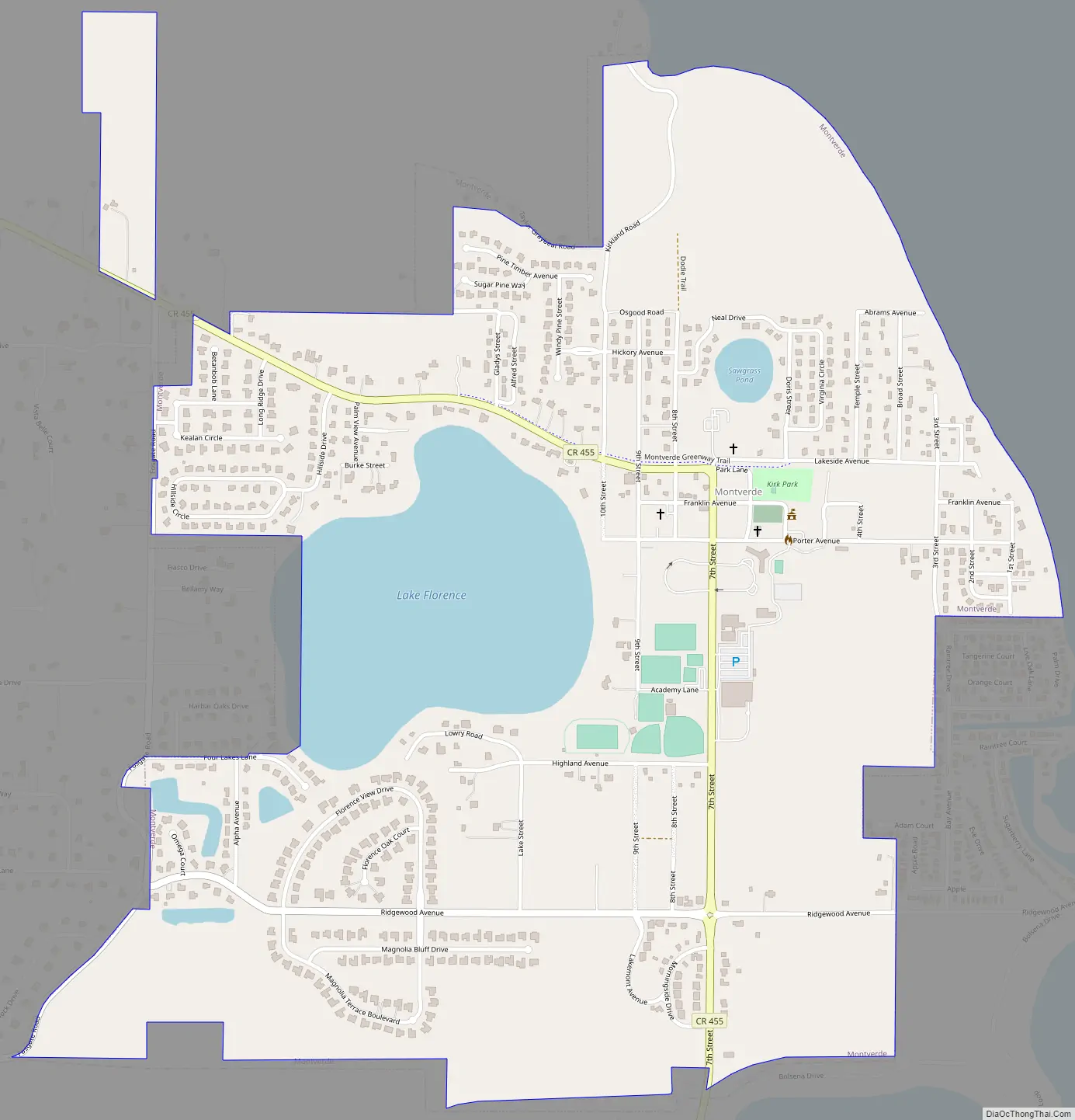
Montverde Road Map
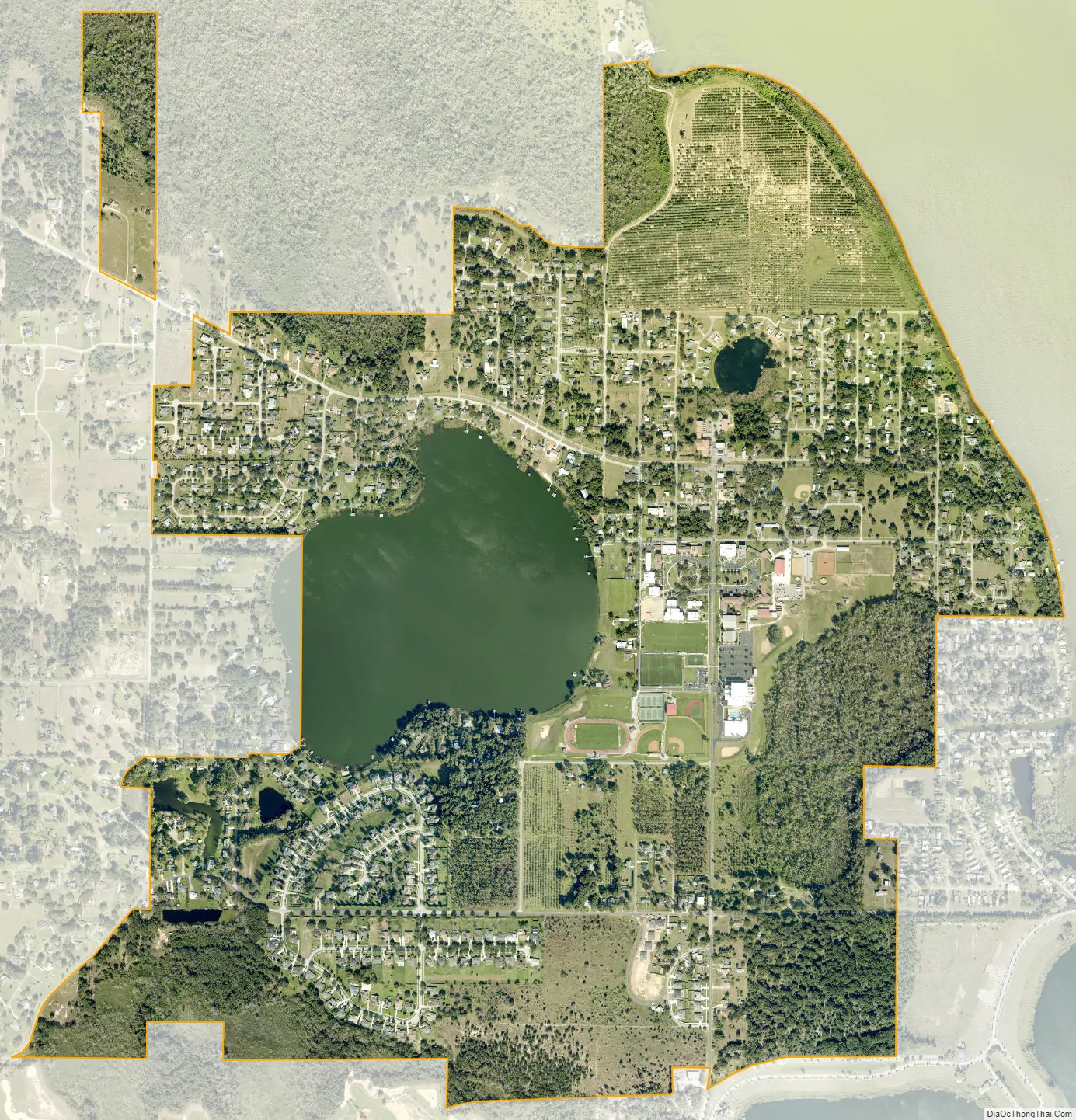
Montverde city Satellite Map
Geography
Montverde is located in southeastern Lake County at 28°35′58″N 81°40′34″W / 28.599476°N 81.676221°W / 28.599476; -81.676221, on the southwest shore of Lake Apopka. The town sits on hills that rise 50 to 100 feet (15 to 30 m) above the elevation of the lake. It is 18 miles (29 km) south of Tavares, the Lake county seat, and 24 miles (39 km) northwest of Orlando.
According to the United States Census Bureau, the town of Montverde has a total area of 1.9 square miles (4.9 km), of which 1.7 square miles (4.3 km) are land and 0.2 square miles (0.5 km), or 11.10%, are water.
See also
Map of Florida State and its subdivision:- Alachua
- Baker
- Bay
- Bradford
- Brevard
- Broward
- Calhoun
- Charlotte
- Citrus
- Clay
- Collier
- Columbia
- Desoto
- Dixie
- Duval
- Escambia
- Flagler
- Franklin
- Gadsden
- Gilchrist
- Glades
- Gulf
- Hamilton
- Hardee
- Hendry
- Hernando
- Highlands
- Hillsborough
- Holmes
- Indian River
- Jackson
- Jefferson
- Lafayette
- Lake
- Lee
- Leon
- Levy
- Liberty
- Madison
- Manatee
- Marion
- Martin
- Miami-Dade
- Monroe
- Nassau
- Okaloosa
- Okeechobee
- Orange
- Osceola
- Palm Beach
- Pasco
- Pinellas
- Polk
- Putnam
- Saint Johns
- Saint Lucie
- Santa Rosa
- Sarasota
- Seminole
- Sumter
- Suwannee
- Taylor
- Union
- Volusia
- Wakulla
- Walton
- Washington
- Alabama
- Alaska
- Arizona
- Arkansas
- California
- Colorado
- Connecticut
- Delaware
- District of Columbia
- Florida
- Georgia
- Hawaii
- Idaho
- Illinois
- Indiana
- Iowa
- Kansas
- Kentucky
- Louisiana
- Maine
- Maryland
- Massachusetts
- Michigan
- Minnesota
- Mississippi
- Missouri
- Montana
- Nebraska
- Nevada
- New Hampshire
- New Jersey
- New Mexico
- New York
- North Carolina
- North Dakota
- Ohio
- Oklahoma
- Oregon
- Pennsylvania
- Rhode Island
- South Carolina
- South Dakota
- Tennessee
- Texas
- Utah
- Vermont
- Virginia
- Washington
- West Virginia
- Wisconsin
- Wyoming


