Ormond-by-the-Sea is a census-designated place and an unincorporated town in Volusia County, Florida, United States. The population was 8,430 as of the 2000 census.
| Name: | Ormond-by-the-Sea CDP |
|---|---|
| LSAD Code: | 57 |
| LSAD Description: | CDP (suffix) |
| State: | Florida |
| County: | Volusia County |
| Elevation: | 13 ft (4 m) |
| Total Area: | 2.02 sq mi (5.23 km²) |
| Land Area: | 2.02 sq mi (5.22 km²) |
| Water Area: | 0.00 sq mi (0.01 km²) |
| Total Population: | 7,312 |
| Population Density: | 3,626.98/sq mi (1,400.49/km²) |
| FIPS code: | 1253200 |
| GNISfeature ID: | 0288246 |
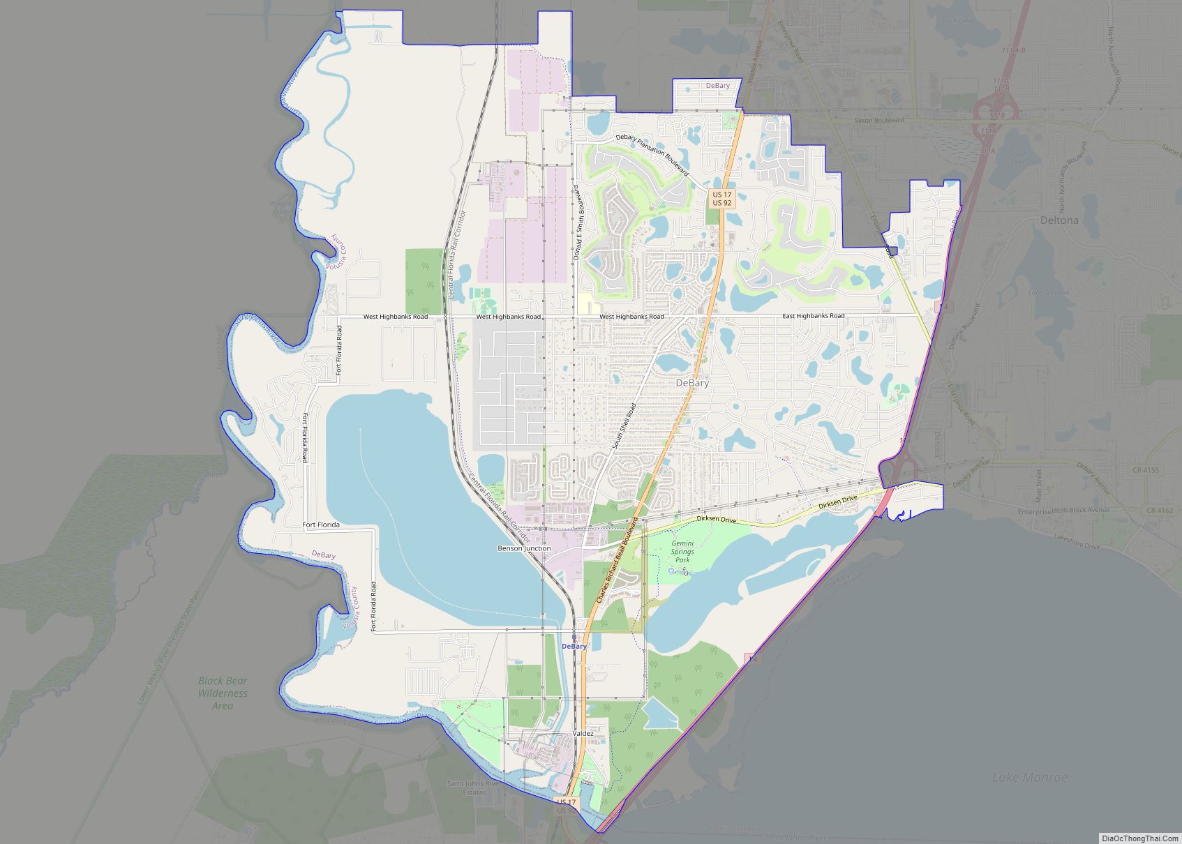
Online Interactive Map
Click on ![]() to view map in "full screen" mode.
to view map in "full screen" mode.
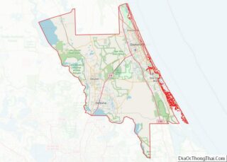
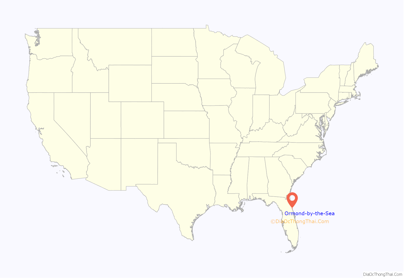
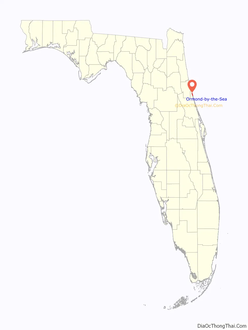
Ormond-by-the-Sea location map. Where is Ormond-by-the-Sea CDP?
History
The earliest known inhabitants of the Ormond-by-the-Sea area were the Timucuan Indians, who in the sixteenth century occupied a large village called Nocoroco, located at the site of Tomoka State Park. The Timucuan diet relied heavily on oysters and other shellfish, and their shell middens, or trash heaps, may still be found near the Halifax River in Ormond-by-the-Sea.
Among the first Anglo settlers of the area was Chauncey A. Bacon, an architect and Civil War veteran from New Britain, Connecticut, who in 1876 purchased 172 acres (0.70 km) in present-day Ormond-by-the-Sea and named it the Number Nine Plantation. In her book Ormond-On-The-Halifax, Alice Strickland describes the site: “The land was covered with a dense, tangled forest of palmettos, scrub oaks, and pine trees which Bacon cleared out with axe and grub hoe. The Bacon’s first home was a palmetto cabin, but later Bacon built a small, two story house with a large coquina rock fireplace on top of the Indian shell mound.”
The Bacons later constructed a larger home, which still stands on John Anderson Drive, from salvaged mahogany logs that washed ashore from the City of Vera Cruz shipwreck. The property was also planted with a large fruit grove featuring oranges, grapefruit, lemons, loquats and guavas, among others. By the turn of the century, the Bacons had a thriving home business selling brandied figs and their best-selling “Number 9 Guava Jelly.”
In 1909, the Bacons sold Number Nine Plantation to M.C. Hillery who operated it for a few years and then sold it in 1911 to a company that had been organized by Ferdinand Nordman, Jr. Nordman constructed a “jelly house” and enlarged the fruit business, selling fruit preserves via mail order to customers across the country, including New York Governor, Nelson Rockefeller. The business survived until 1968, and the jelly house was demolished to make way for a subdivision in 1984.
Another early settler was Leonard B. Knox, who developed a citrus plantation known as Mound Grove, located along High Bridge Road near its crossing with Bulow Creek. It was Knox’s son Donald who planted the Canary Island date palms which currently line the road. Part of the property also included a waterside building that operated as Uncle Guy’s Fish Camp between the 1930s and 1950s. The property was subsequently acquired by Dick Cobb, who operated a bar and restaurant out of the building, which became known as “Cobb’s Corner.” The business closed in the 1970s, although portions of the structure remain.
Despite these early settlements, nearly all of present-day Ormond-by-the-Sea remained undeveloped until the 1950s, when the area began to develop in earnest as a retirement community. The “by the sea” appellation was used to distinguish the area from the adjacent city of Ormond Beach, located immediately to the south. Though unincorporated, it was first represented by the North Peninsula Zoning Commission, created in 1955.
For many years, one of Ormond-by-the-Sea’s most distinguishing landmarks was the Ormond Pier, a 750-foot (230 m) steel structure constructed in 1959 near the intersection of Laurie Drive and A1A. A large section of the Ormond Pier was torn away by a storm in November 1984, and the remaining portions subsequently demolished for safety reasons in the early 1990s.
Approximately one mile north on A1A, near the intersection of A1A and Spanish Waters Drive, stands a watch tower constructed in 1942 by the Coast Guard Reserve to look out for German U-boats operating off the coast. The tower was restored in 2004 and is one of the last remaining examples of a World War II era observation tower on the Florida coast.
At the northern end of Ormond-by-the-Sea is the North Peninsula State Park, comprising approximately 800 acres (3.2 km) of undeveloped coastal dunes and marsh lands, which were acquired in the mid-1980s through the Conservation & Recreation Lands Program, later known as the “Preservation 2000” and “Florida Forever” programs. Among other species, the park provides crucial habitat for the Florida scrub jay, a threatened federal species of which less than 4,000 breeding pairs are thought to survive.
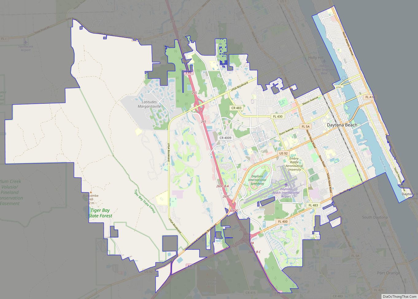
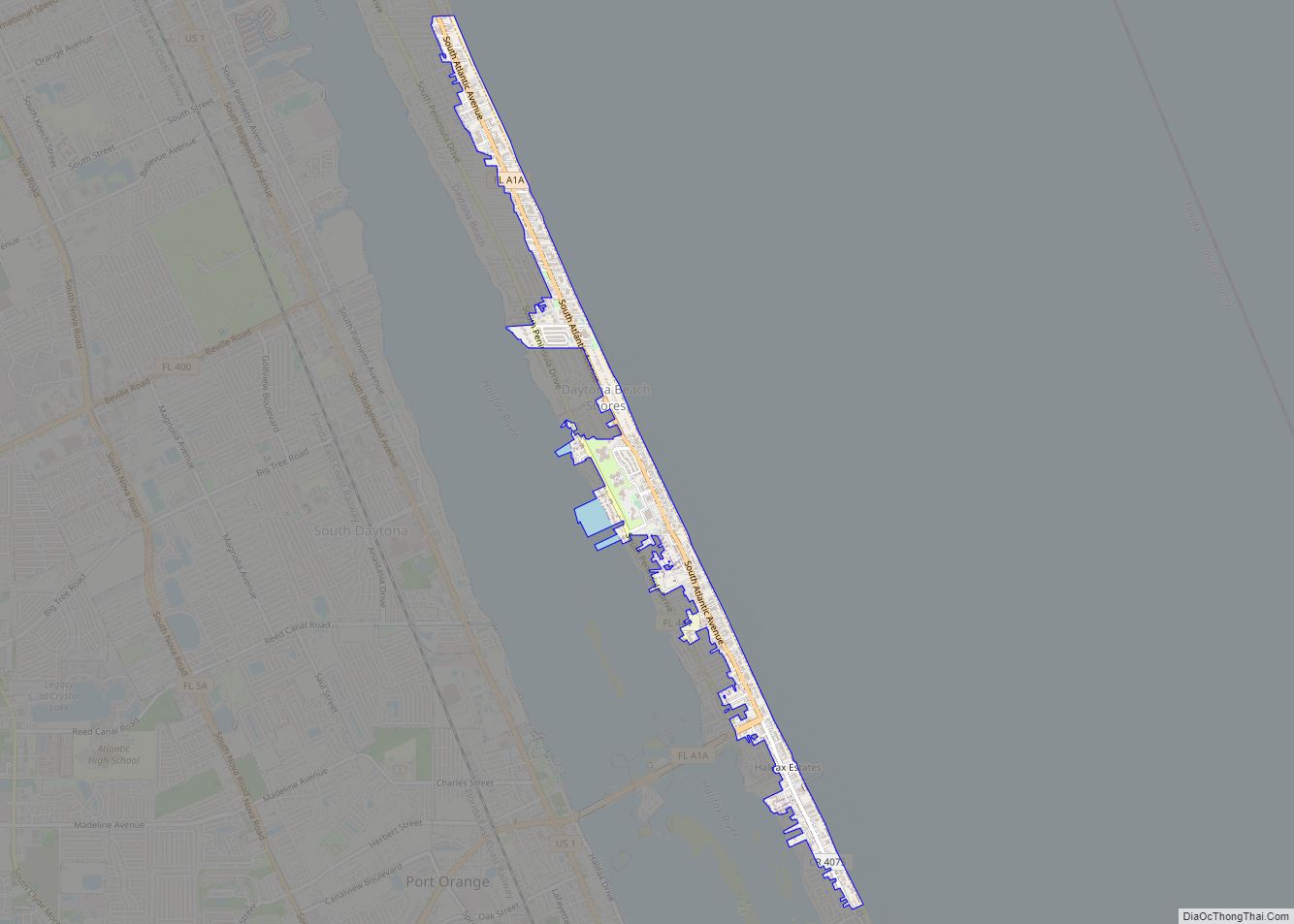
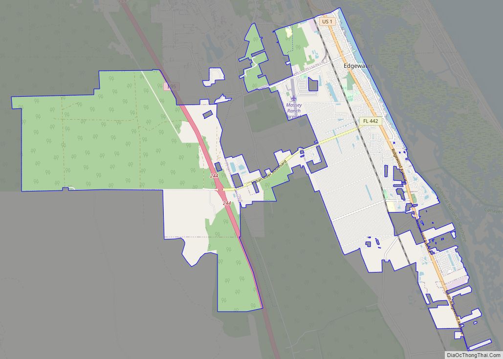
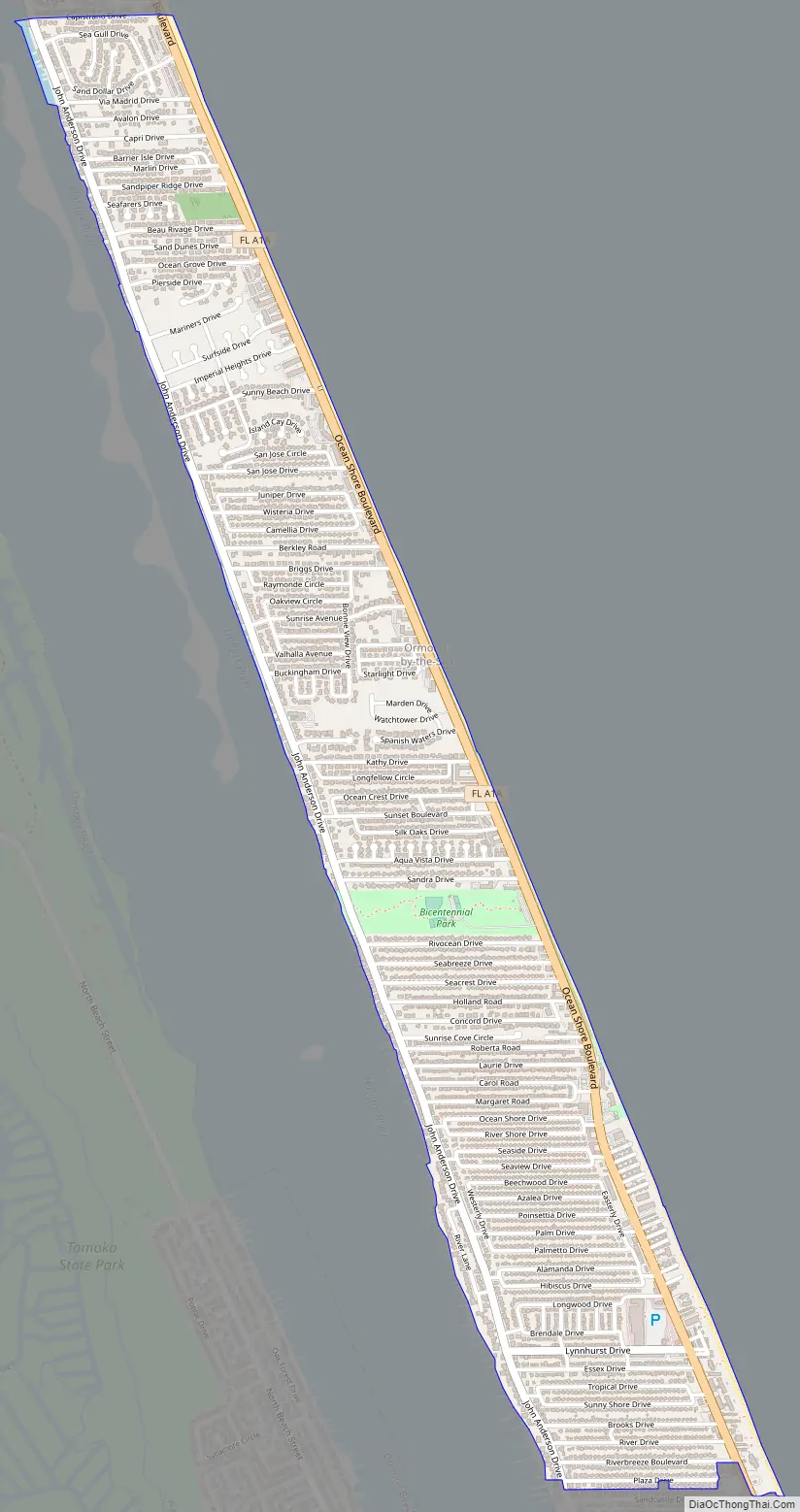
Ormond-by-the-Sea Road Map
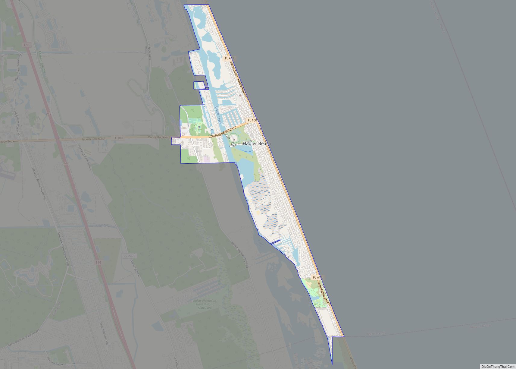
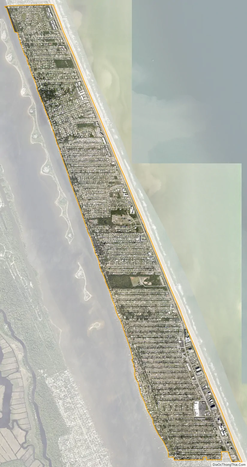
Ormond-by-the-Sea city Satellite Map
Geography
Ormond-by-the-Sea is located at 29°20′21″N 81°3′57″W / 29.33917°N 81.06583°W / 29.33917; -81.06583 (29.339206, -81.065756).
According to the United States Census Bureau, the CDP has a total area of 5.2 km (2.0 mi), of which 5.2 km (2.0 mi) is land and 0.50% is water.
The boundaries of Ormond-by-the-Sea include the Volusia/Flagler county line on the north, the city of Ormond Beach on the south, the Atlantic Ocean on the east, and the Halifax River on the west. The area has traditionally been called the North Peninsula, although other nicknames such as OBC or OBTS are sometimes used.
There are two principal roads, State Road A1A (also known as Ocean Shore Boulevard), which runs along the Atlantic Ocean, and John Anderson Drive, which runs along the Halifax River.
See also
Map of Florida State and its subdivision:- Alachua
- Baker
- Bay
- Bradford
- Brevard
- Broward
- Calhoun
- Charlotte
- Citrus
- Clay
- Collier
- Columbia
- Desoto
- Dixie
- Duval
- Escambia
- Flagler
- Franklin
- Gadsden
- Gilchrist
- Glades
- Gulf
- Hamilton
- Hardee
- Hendry
- Hernando
- Highlands
- Hillsborough
- Holmes
- Indian River
- Jackson
- Jefferson
- Lafayette
- Lake
- Lee
- Leon
- Levy
- Liberty
- Madison
- Manatee
- Marion
- Martin
- Miami-Dade
- Monroe
- Nassau
- Okaloosa
- Okeechobee
- Orange
- Osceola
- Palm Beach
- Pasco
- Pinellas
- Polk
- Putnam
- Saint Johns
- Saint Lucie
- Santa Rosa
- Sarasota
- Seminole
- Sumter
- Suwannee
- Taylor
- Union
- Volusia
- Wakulla
- Walton
- Washington
- Alabama
- Alaska
- Arizona
- Arkansas
- California
- Colorado
- Connecticut
- Delaware
- District of Columbia
- Florida
- Georgia
- Hawaii
- Idaho
- Illinois
- Indiana
- Iowa
- Kansas
- Kentucky
- Louisiana
- Maine
- Maryland
- Massachusetts
- Michigan
- Minnesota
- Mississippi
- Missouri
- Montana
- Nebraska
- Nevada
- New Hampshire
- New Jersey
- New Mexico
- New York
- North Carolina
- North Dakota
- Ohio
- Oklahoma
- Oregon
- Pennsylvania
- Rhode Island
- South Carolina
- South Dakota
- Tennessee
- Texas
- Utah
- Vermont
- Virginia
- Washington
- West Virginia
- Wisconsin
- Wyoming