Paisley is an unincorporated community and census-designated place (CDP) in Lake County, Florida, United States. The population was 818 at the 2010 census, up from 734 at the 2000 census. It is part of the Orlando–Kissimmee Metropolitan Statistical Area.
Paisley is the closest community to Boy Scout Camp La-No-Che on the north shore of Lake Norris, and the community is also host to the Toronto Argonauts’ pre-season training and free agency camp.
| Name: | Paisley CDP |
|---|---|
| LSAD Code: | 57 |
| LSAD Description: | CDP (suffix) |
| State: | Florida |
| County: | Lake County |
| Elevation: | 79 ft (24 m) |
| Total Area: | 3.36 sq mi (8.70 km²) |
| Land Area: | 3.13 sq mi (8.12 km²) |
| Water Area: | 0.23 sq mi (0.58 km²) |
| Total Population: | 980 |
| Population Density: | 312.60/sq mi (120.69/km²) |
| ZIP code: | 32767 |
| Area code: | 352 |
| FIPS code: | 1253850 |
| GNISfeature ID: | 2403387 |
Online Interactive Map
Click on ![]() to view map in "full screen" mode.
to view map in "full screen" mode.
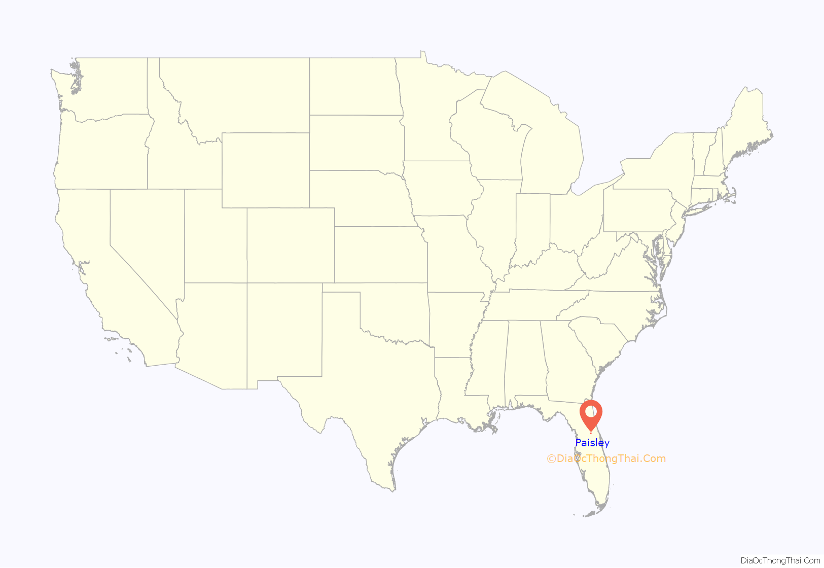
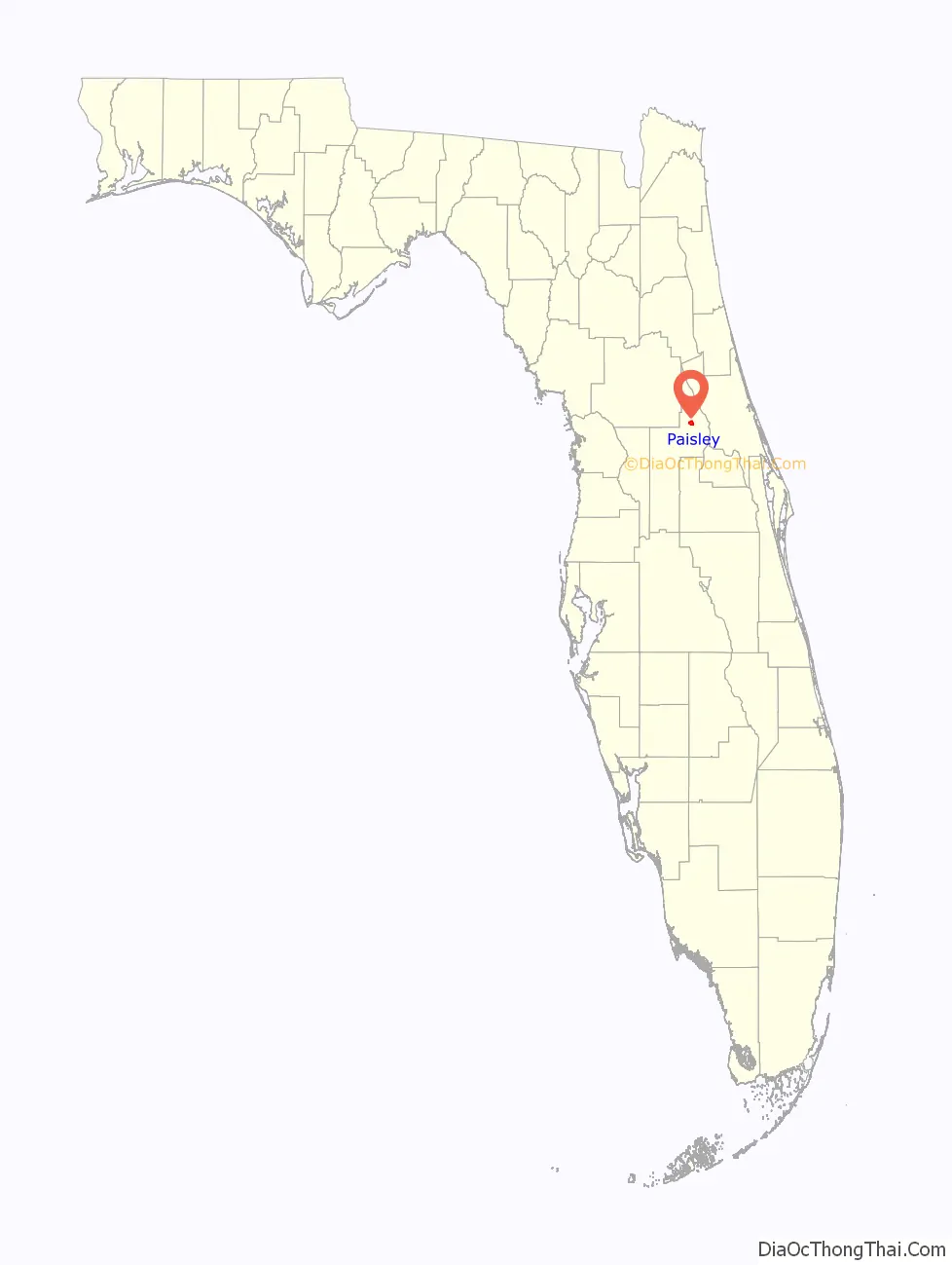
Paisley location map. Where is Paisley CDP?
History
A post office called Paisley has been in operation since 1886. The community was named after the town of Paisley in Scotland.
On the morning of February 2, 2007, a tornado touched down in the community and was blamed for at least 14 deaths.
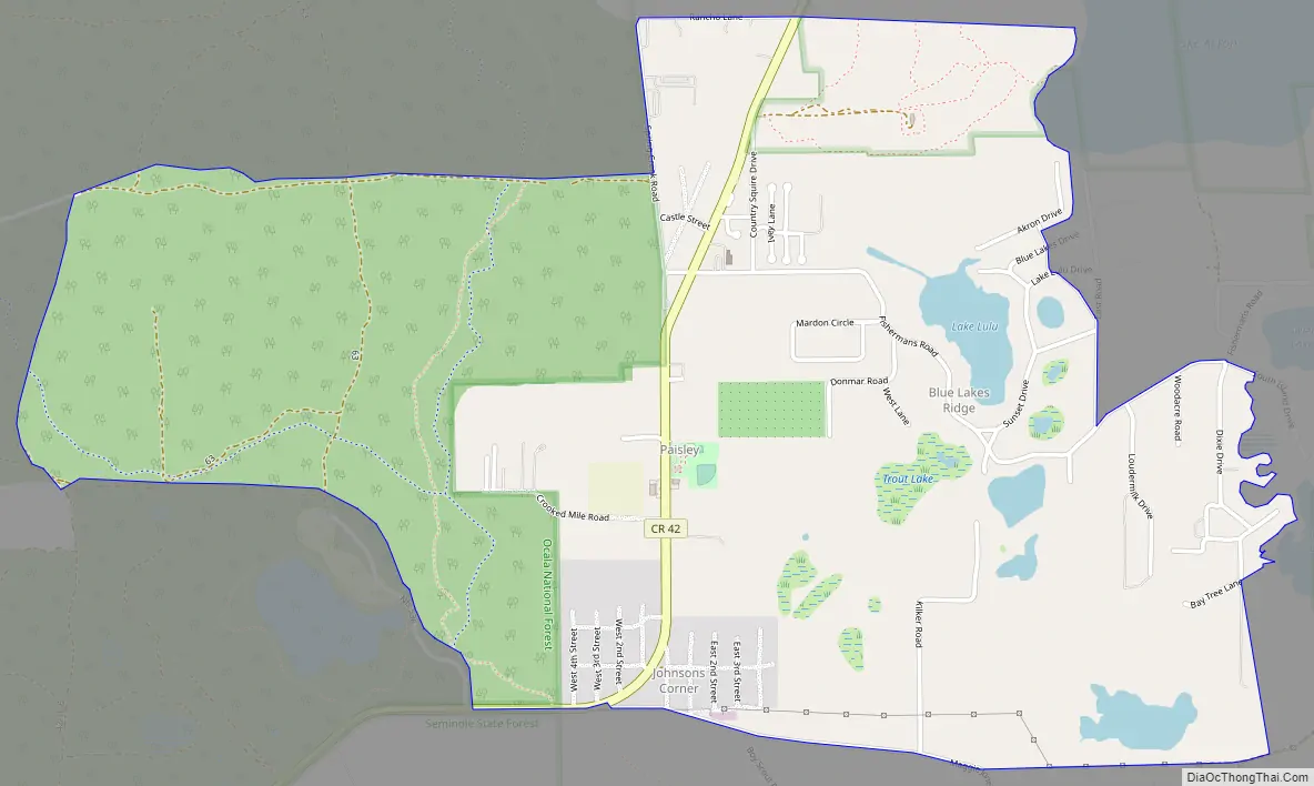
Paisley Road Map
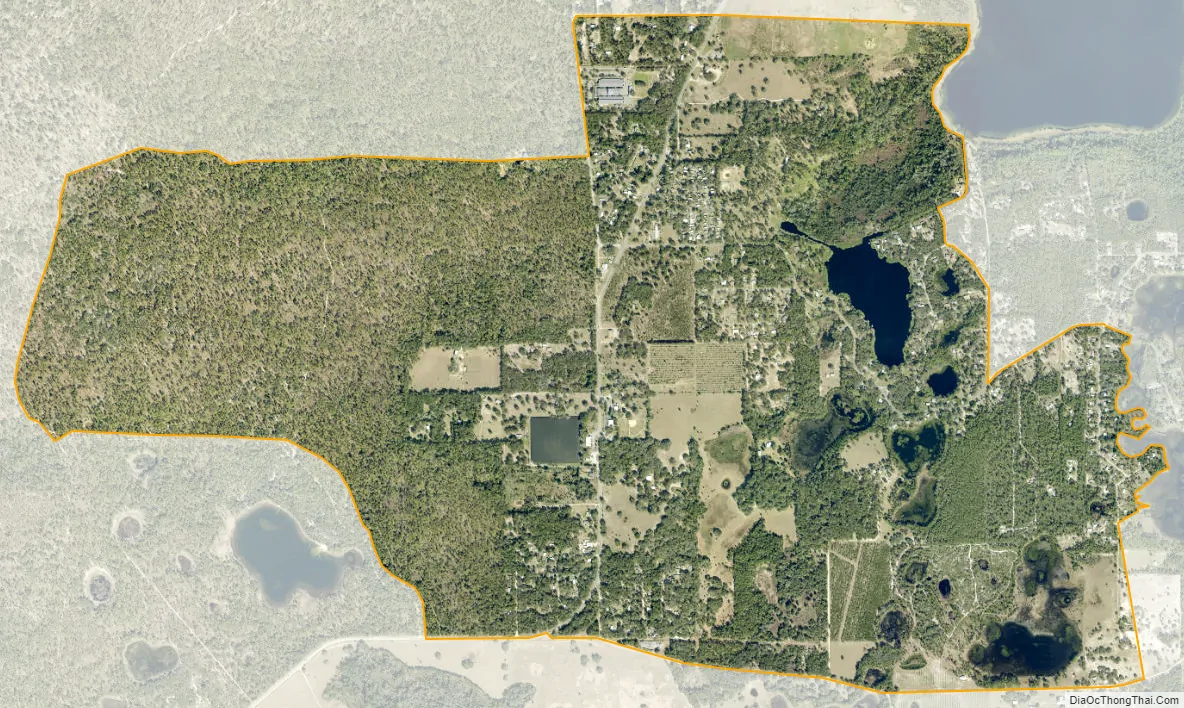
Paisley city Satellite Map
Geography
Paisley is located in northern Lake County. The CDP includes the communities of Paisley, Johnsons Corner, and Blue Lakes Ridge. Paisley is on the southern edge of the Ocala National Forest and is 17 miles (27 km) northeast of Eustis and 16 miles (26 km) west of DeLand.
The main arteries of the town of Paisley are Lake County Road 42 and Maggie Jones Road.
According to the United States Census Bureau, the CDP has a total area of 3.4 square miles (8.7 km), of which 3.1 square miles (8.1 km) are land and 0.2 square miles (0.6 km), or 6.70%, are water. There are at least seven small named lakes within the community and several more unnamed ones.
See also
Map of Florida State and its subdivision:- Alachua
- Baker
- Bay
- Bradford
- Brevard
- Broward
- Calhoun
- Charlotte
- Citrus
- Clay
- Collier
- Columbia
- Desoto
- Dixie
- Duval
- Escambia
- Flagler
- Franklin
- Gadsden
- Gilchrist
- Glades
- Gulf
- Hamilton
- Hardee
- Hendry
- Hernando
- Highlands
- Hillsborough
- Holmes
- Indian River
- Jackson
- Jefferson
- Lafayette
- Lake
- Lee
- Leon
- Levy
- Liberty
- Madison
- Manatee
- Marion
- Martin
- Miami-Dade
- Monroe
- Nassau
- Okaloosa
- Okeechobee
- Orange
- Osceola
- Palm Beach
- Pasco
- Pinellas
- Polk
- Putnam
- Saint Johns
- Saint Lucie
- Santa Rosa
- Sarasota
- Seminole
- Sumter
- Suwannee
- Taylor
- Union
- Volusia
- Wakulla
- Walton
- Washington
- Alabama
- Alaska
- Arizona
- Arkansas
- California
- Colorado
- Connecticut
- Delaware
- District of Columbia
- Florida
- Georgia
- Hawaii
- Idaho
- Illinois
- Indiana
- Iowa
- Kansas
- Kentucky
- Louisiana
- Maine
- Maryland
- Massachusetts
- Michigan
- Minnesota
- Mississippi
- Missouri
- Montana
- Nebraska
- Nevada
- New Hampshire
- New Jersey
- New Mexico
- New York
- North Carolina
- North Dakota
- Ohio
- Oklahoma
- Oregon
- Pennsylvania
- Rhode Island
- South Carolina
- South Dakota
- Tennessee
- Texas
- Utah
- Vermont
- Virginia
- Washington
- West Virginia
- Wisconsin
- Wyoming


