Palm Beach Gardens is a city in Palm Beach County in the U.S. state of Florida, 77 miles north of downtown Miami. As of the 2020 United States Census, the population was 59,182. Palm Beach Gardens is a principal city of the Miami metropolitan area, which was home to an estimated 6.1 million people at the 2019 census.
| Name: | Palm Beach Gardens city |
|---|---|
| LSAD Code: | 25 |
| LSAD Description: | city (suffix) |
| State: | Florida |
| County: | Palm Beach County |
| Elevation: | 16 ft (5 m) |
| Total Area: | 59.34 sq mi (153.68 km²) |
| Land Area: | 58.71 sq mi (152.07 km²) |
| Water Area: | 0.62 sq mi (1.61 km²) 4.5% |
| Total Population: | 59,182 |
| Population Density: | 1,007.99/sq mi (389.19/km²) |
| ZIP code: | 33403, 33408, 33410, 33412, 33418, 33420 (PO Box) |
| Area code: | 561 |
| FIPS code: | 1254075 |
| GNISfeature ID: | 2404464 |
| Website: | www.pbgfl.com |
Online Interactive Map
Click on ![]() to view map in "full screen" mode.
to view map in "full screen" mode.
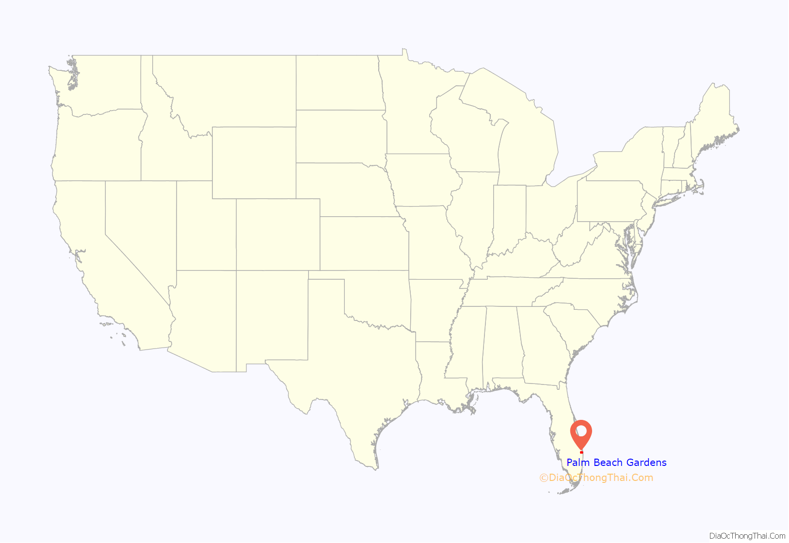
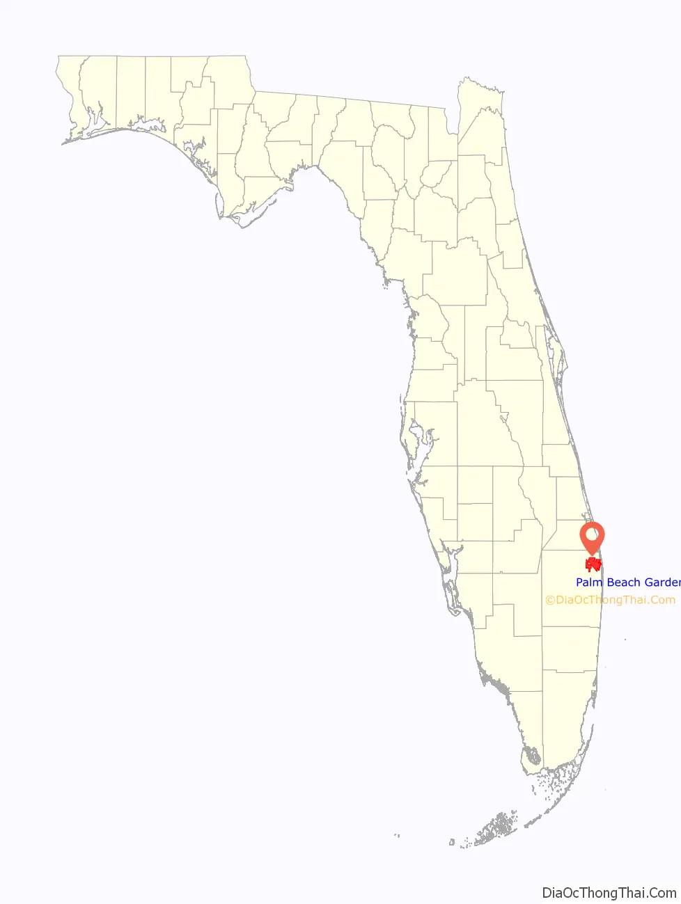
Palm Beach Gardens location map. Where is Palm Beach Gardens city?
History
Prior to development, the land that became Palm Beach Gardens was primarily cattle ranches and pine forests, as well as swampland farther west. In 1959, wealthy landowner and insurance magnate John D. MacArthur announced plans to develop 4,000 acres (16 km) and build homes for 55,000 people. He chose the name Palm Beach Gardens after his initial choice, Palm Beach City, was denied by the Florida Legislature, because of the similarity of the name to the nearby Palm Beach. MacArthur planned to build a “garden city” so he altered the name slightly. The city was incorporated as a “paper town” (meaning that it existed only on paper) in 1959. The 1960 Census recorded that the city officially had a population of one, apparently a squatter whom MacArthur had allowed to stay on his property.
Rapid development took place in the 1960s. By 1970 the city had a population approaching 7,000 people. To showcase his new community, MacArthur purchased an 80-year-old banyan tree located in nearby Lake Park, that was to be cut down to enlarge a dentist’s office. It cost $30,000 and 1,008 hours of manpower to move it. A second banyan was moved the following year. While moving the first banyan tree over the Florida East Coast Railway, the massive tree shifted and disconnected the Western Union telephone and telegraph lines running adjacent to the railroad, cutting off most communications between Miami, 78 miles (126 km) to the south, and the outside world until the damage could be repaired. These trees still remain at the center of MacArthur Boulevard near Northlake Boulevard and are still featured on the city shield. In January 2007, the great-grandson of impressionist artist Pierre-Auguste Renoir, Alexandre Renoir, presented a painting to the city which depicts the Gardens banyan tree. It is currently on display at the city hall on North Military Trail.
City growth was slow but steady throughout the 1970s and 1980s, as the population has still not reached the predicted 55,000 people envisioned by MacArthur. However, the opening of the 1,300,000-square-foot (120,000 m) Gardens Mall in 1988 initiated a new wave of development, as did the sell off in 1999 of approximately 5,000 acres (20 km) in the city by the John D. and Catherine T. MacArthur Foundation. Development of this property happened quickly and led to much new growth in the city. The city adopted an Art in Public Places ordinance in 1989 and has amassed an eclectic collection of works.
The city suffered much damage to its tropical landscaping in the hard freezes of 1985 and 1989, but has experienced no freezing temperatures since then. The city was hit by Hurricane Frances, Hurricane Jeanne, and Hurricane Wilma in 2004 and 2005. Much of the city lost power for days at a time after each storm, and many traffic signals and directional signs in the city were destroyed. Many homes and businesses were severely damaged during the first two storms and contractors and construction materials were at a premium. Hundreds of homes were only nearing final repair when Hurricane Wilma hit the following year damaging or destroying many of those completed or ongoing repairs.
The Gardens Mall, PGA Commons, Midtown, Legacy Place, and Downtown at the Gardens are the center of the city’s retail market. They are located on the municipality’s main stretch on PGA Boulevard.
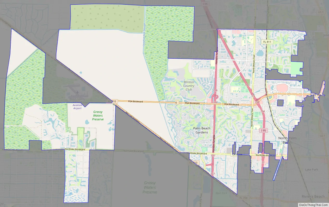
Palm Beach Gardens Road Map
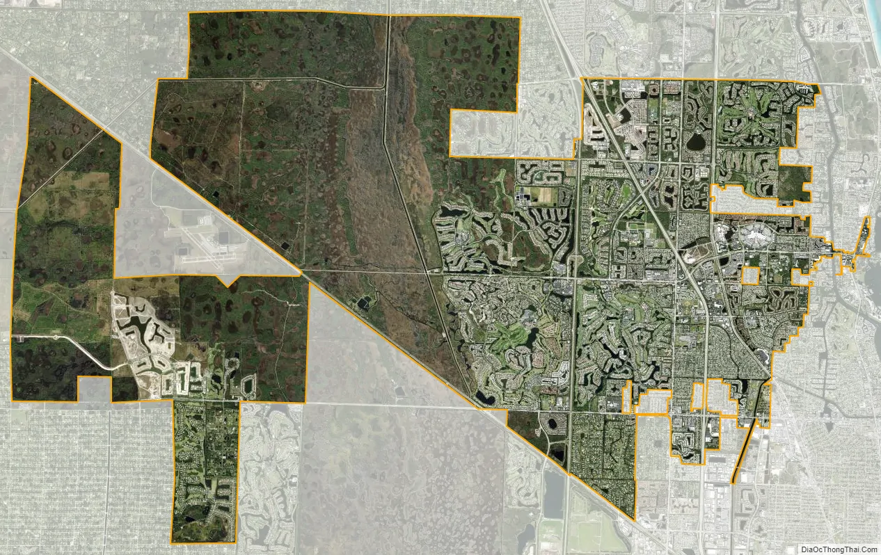
Palm Beach Gardens city Satellite Map
Geography
The city has a total area of 55.3 square miles (143 km), of which 55.1 square miles (143 km) is land and 0.2 square miles (0.52 km) (4.5%) is water.
Climate
Palm Beach Gardens has a tropical rainforest climate (Af) with long, hot, and rainy summers and short, warm winters with mild nights.
See also
Map of Florida State and its subdivision:- Alachua
- Baker
- Bay
- Bradford
- Brevard
- Broward
- Calhoun
- Charlotte
- Citrus
- Clay
- Collier
- Columbia
- Desoto
- Dixie
- Duval
- Escambia
- Flagler
- Franklin
- Gadsden
- Gilchrist
- Glades
- Gulf
- Hamilton
- Hardee
- Hendry
- Hernando
- Highlands
- Hillsborough
- Holmes
- Indian River
- Jackson
- Jefferson
- Lafayette
- Lake
- Lee
- Leon
- Levy
- Liberty
- Madison
- Manatee
- Marion
- Martin
- Miami-Dade
- Monroe
- Nassau
- Okaloosa
- Okeechobee
- Orange
- Osceola
- Palm Beach
- Pasco
- Pinellas
- Polk
- Putnam
- Saint Johns
- Saint Lucie
- Santa Rosa
- Sarasota
- Seminole
- Sumter
- Suwannee
- Taylor
- Union
- Volusia
- Wakulla
- Walton
- Washington
- Alabama
- Alaska
- Arizona
- Arkansas
- California
- Colorado
- Connecticut
- Delaware
- District of Columbia
- Florida
- Georgia
- Hawaii
- Idaho
- Illinois
- Indiana
- Iowa
- Kansas
- Kentucky
- Louisiana
- Maine
- Maryland
- Massachusetts
- Michigan
- Minnesota
- Mississippi
- Missouri
- Montana
- Nebraska
- Nevada
- New Hampshire
- New Jersey
- New Mexico
- New York
- North Carolina
- North Dakota
- Ohio
- Oklahoma
- Oregon
- Pennsylvania
- Rhode Island
- South Carolina
- South Dakota
- Tennessee
- Texas
- Utah
- Vermont
- Virginia
- Washington
- West Virginia
- Wisconsin
- Wyoming


