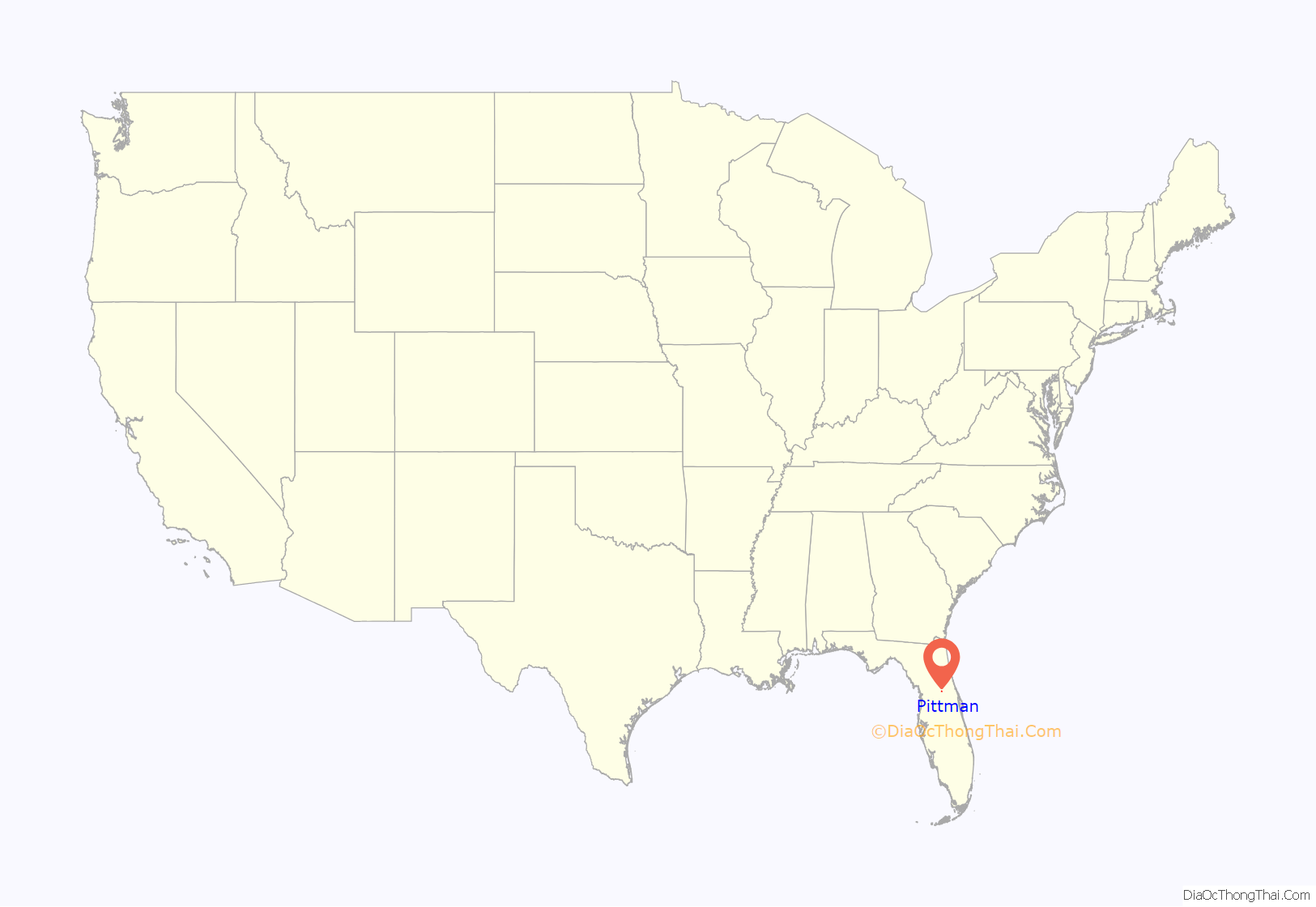
Pittman is an unincorporated community and census-designated place (CDP) in Lake County, Florida, United States. The population was 180 at the 2010 census. It is part of the Orlando–Kissimmee Metropolitan Statistical Area.
| Name: | Pittman CDP |
|---|---|
| LSAD Code: | 57 |
| LSAD Description: | CDP (suffix) |
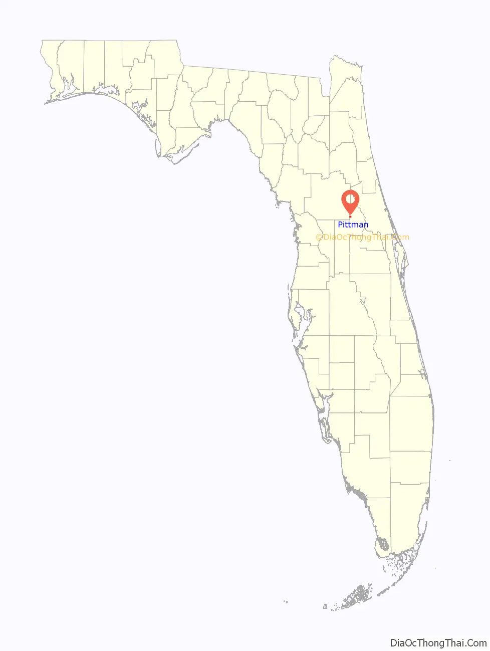
| State: | Florida |
| County: | Lake County |
| Elevation: | 85 ft (26 m) |
| Total Area: | 1.29 sq mi (3.34 km²) |
| Land Area: | 1.26 sq mi (3.26 km²) |
| Water Area: | 0.03 sq mi (0.07 km²) |
| Total Population: | 227 |
| Population Density: | 180.16/sq mi (69.59/km²) |
| ZIP code: | 32702 |
| Area code: | 352 |
| FIPS code: | 1257380 |
| GNISfeature ID: | 2403424 |
Online Interactive Map
Click on ![]() to view map in "full screen" mode.
to view map in "full screen" mode.
Pittman location map. Where is Pittman CDP?
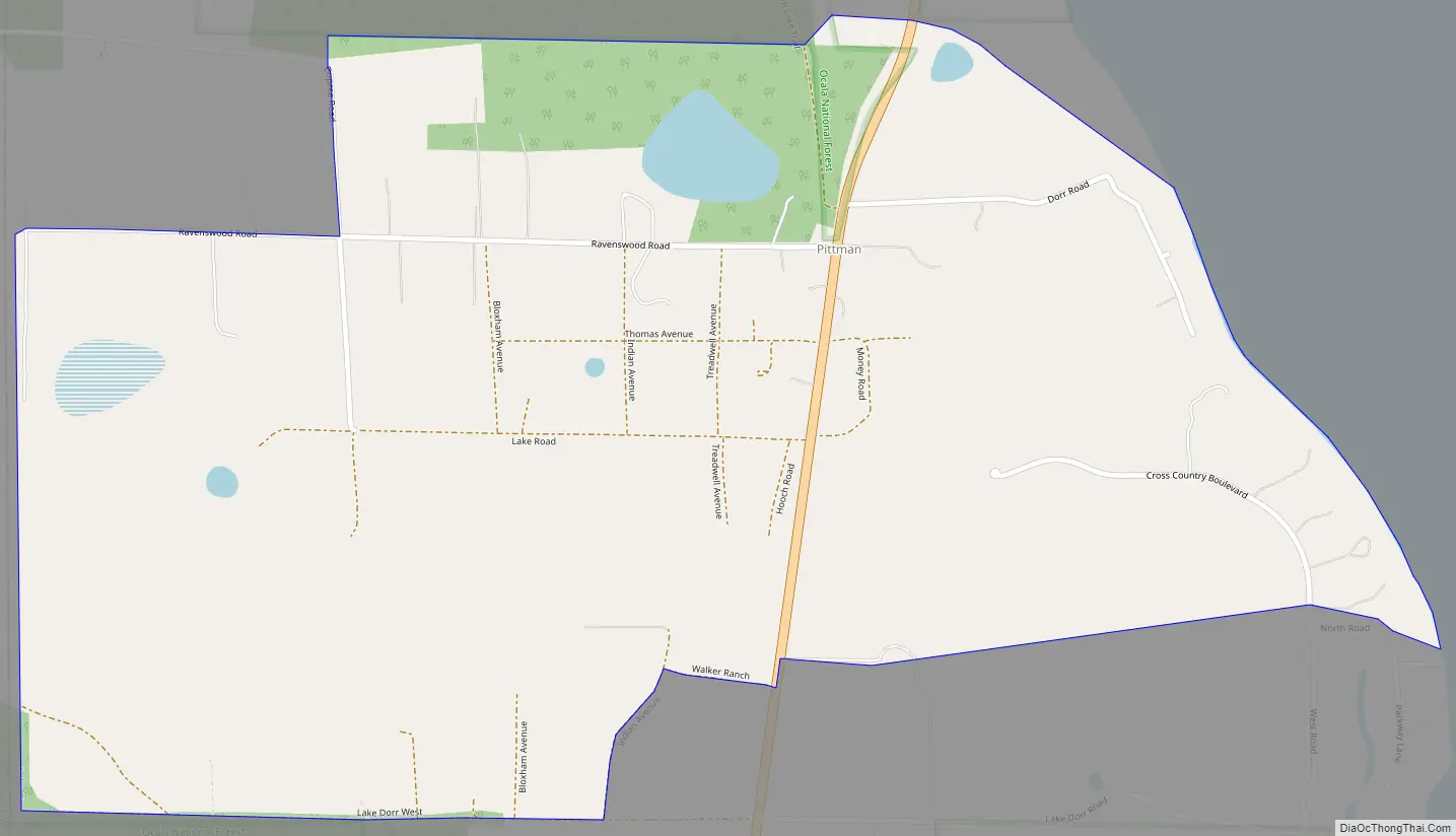
Pittman Road Map
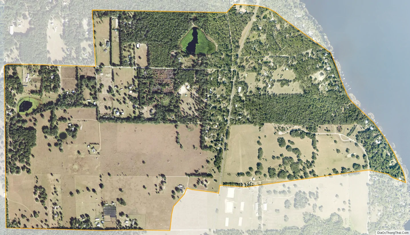
Pittman city Satellite Map
Geography
Pittman is located in northern Lake County and is bordered to the west by Marion County, to the east by Lake Dorr, and to the north by Ocala National Forest. Florida State Road 19 passes through the community, leading south 11 miles (18 km) to Eustis and north 52 miles (84 km) to Palatka.
According to the United States Census Bureau, the Pittman CDP has a total area of 1.3 square miles (3.3 km), of which 0.027 square miles (0.07 km), or 2.25%, are water.
See also
Map of Florida State and its subdivision:- Alachua
- Baker
- Bay
- Bradford
- Brevard
- Broward
- Calhoun
- Charlotte
- Citrus
- Clay
- Collier
- Columbia
- Desoto
- Dixie
- Duval
- Escambia
- Flagler
- Franklin
- Gadsden
- Gilchrist
- Glades
- Gulf
- Hamilton
- Hardee
- Hendry
- Hernando
- Highlands
- Hillsborough
- Holmes
- Indian River
- Jackson
- Jefferson
- Lafayette
- Lake
- Lee
- Leon
- Levy
- Liberty
- Madison
- Manatee
- Marion
- Martin
- Miami-Dade
- Monroe
- Nassau
- Okaloosa
- Okeechobee
- Orange
- Osceola
- Palm Beach
- Pasco
- Pinellas
- Polk
- Putnam
- Saint Johns
- Saint Lucie
- Santa Rosa
- Sarasota
- Seminole
- Sumter
- Suwannee
- Taylor
- Union
- Volusia
- Wakulla
- Walton
- Washington
- Alabama
- Alaska
- Arizona
- Arkansas
- California
- Colorado
- Connecticut
- Delaware
- District of Columbia
- Florida
- Georgia
- Hawaii
- Idaho
- Illinois
- Indiana
- Iowa
- Kansas
- Kentucky
- Louisiana
- Maine
- Maryland
- Massachusetts
- Michigan
- Minnesota
- Mississippi
- Missouri
- Montana
- Nebraska
- Nevada
- New Hampshire
- New Jersey
- New Mexico
- New York
- North Carolina
- North Dakota
- Ohio
- Oklahoma
- Oregon
- Pennsylvania
- Rhode Island
- South Carolina
- South Dakota
- Tennessee
- Texas
- Utah
- Vermont
- Virginia
- Washington
- West Virginia
- Wisconsin
- Wyoming


