San Carlos Park is a census-designated place (CDP) in Lee County, Florida, United States. The population was 18,563 at the 2020 census. It is part of the Cape Coral-Fort Myers, Florida Metropolitan Statistical Area.
| Name: | San Carlos Park CDP |
|---|---|
| LSAD Code: | 57 |
| LSAD Description: | CDP (suffix) |
| State: | Florida |
| County: | Lee County |
| Elevation: | 16 ft (5 m) |
| Total Area: | 4.97 sq mi (12.87 km²) |
| Land Area: | 4.72 sq mi (12.23 km²) |
| Water Area: | 0.24 sq mi (0.64 km²) |
| Total Population: | 18,563 |
| Population Density: | 3,930.34/sq mi (1,517.58/km²) |
| ZIP code: | 33912, 33967 |
| Area code: | 239 |
| FIPS code: | 1263425 |
| GNISfeature ID: | 0290476 |
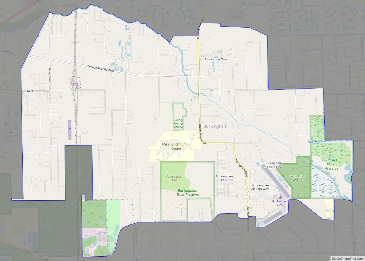
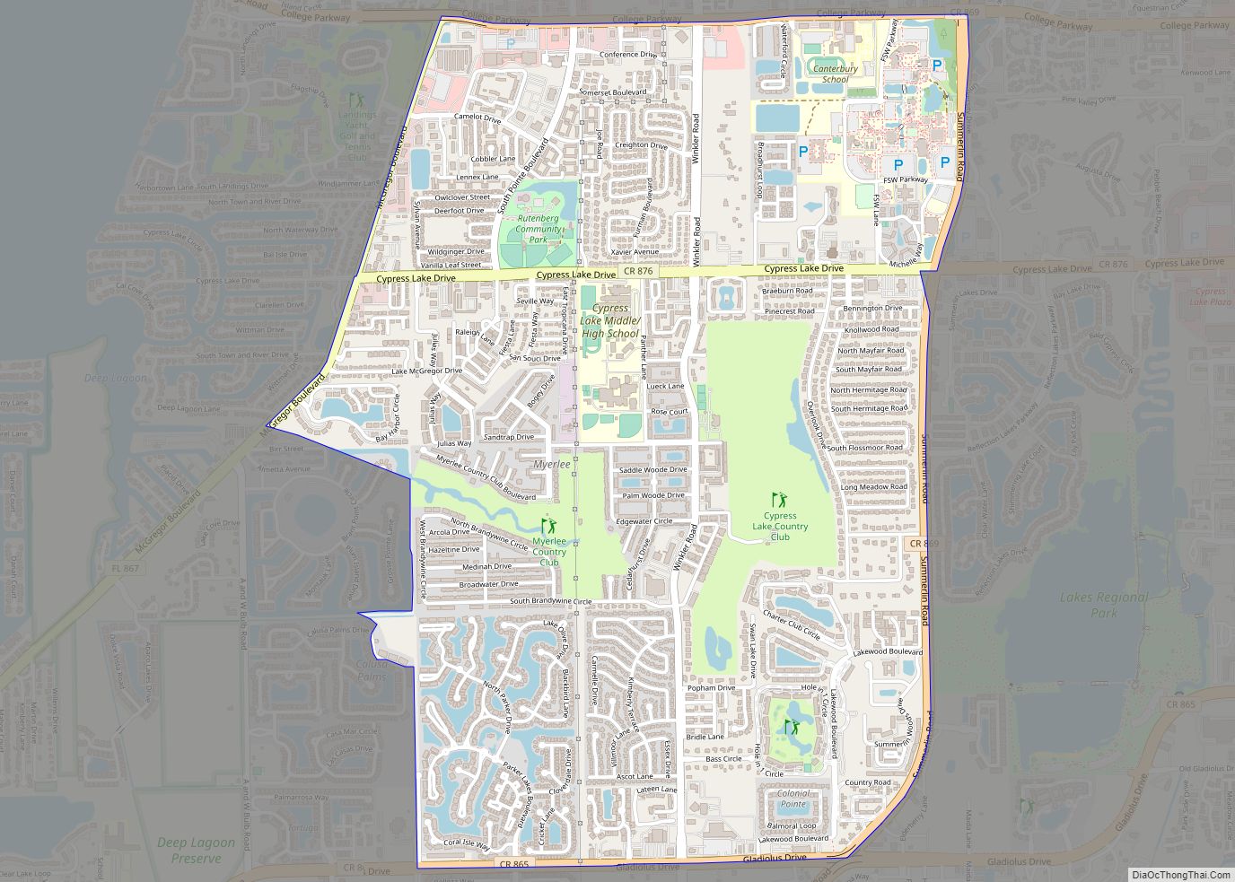
Online Interactive Map
Click on ![]() to view map in "full screen" mode.
to view map in "full screen" mode.
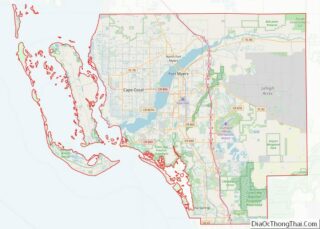
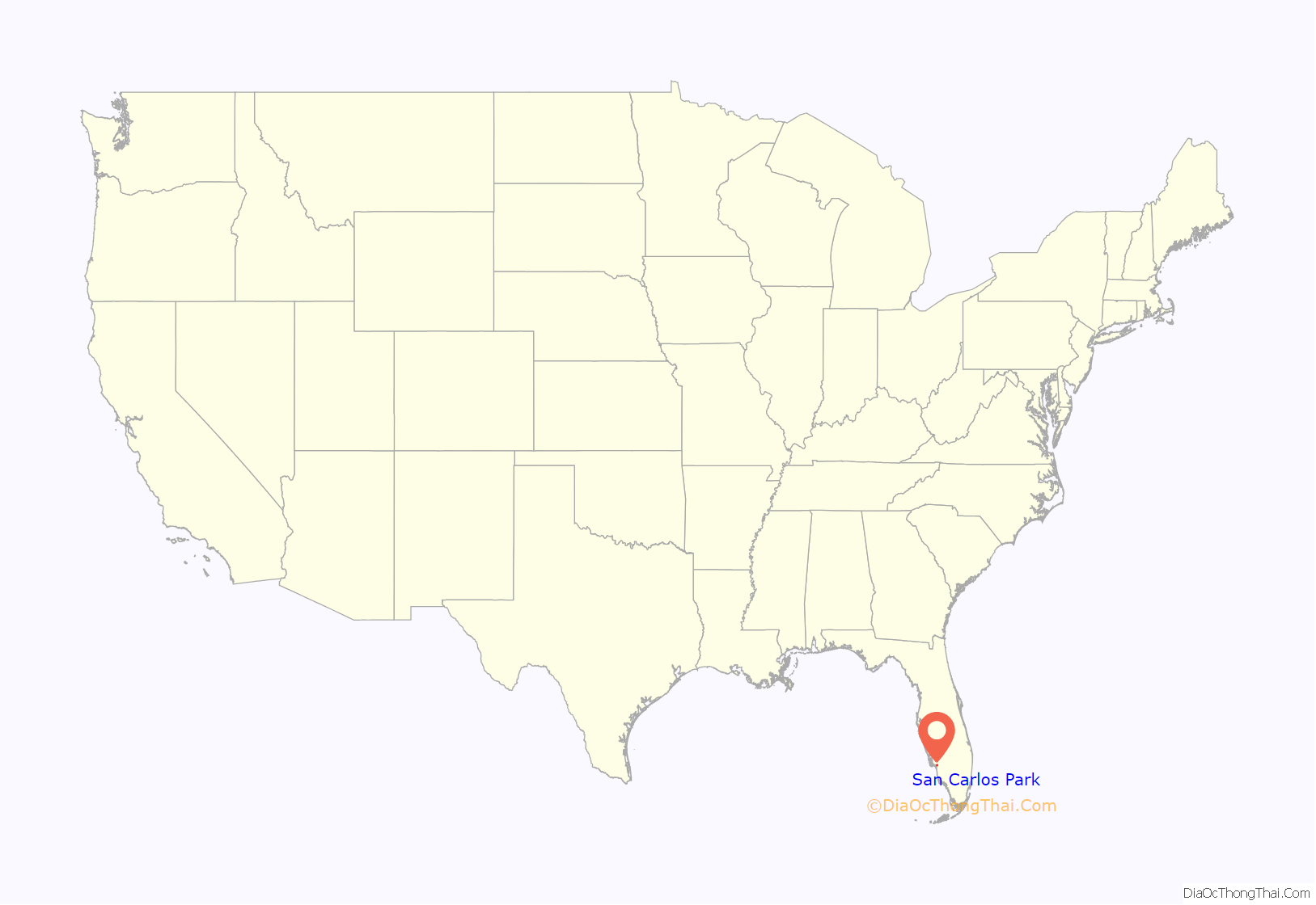
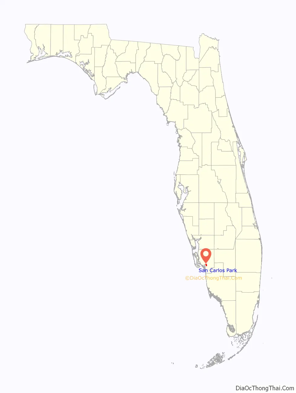
San Carlos Park location map. Where is San Carlos Park CDP?
History
Brothers Jules & Jack Freeman established San Carlos Park in 1953 in hopes of providing low cost homes for the middle class.
The Freeman group purchased their land from the Koreshan Unity who gave them almost 250 acres for just under $3,000. When they acquired the land in Estero, Florida, they found that it was in the middle of nowhere, with the county seat, Fort Myers, Florida, being over 20 miles away.
In the 1970s, the Freeman’s drilled down into the ground and hit a spring, this spring would become a local attraction located at the San Carlos Park arches
Later on in the mid-1970s the Freeman group would go on to begin construction of their next community Three Oaks, Florida.
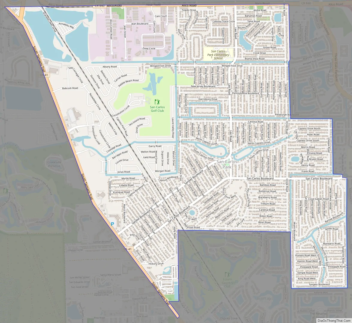
San Carlos Park Road Map
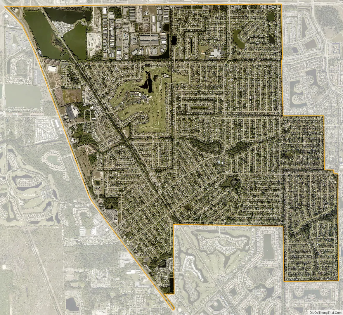
San Carlos Park city Satellite Map
Geography
San Carlos Park is located in south-central Lee County at 26°28′28″N 81°48′56″W / 26.47444°N 81.81556°W / 26.47444; -81.81556 (26.474458, -81.815467). It is an unincorporated community, bordered to the south by the village of Estero and to the east by the Three Oaks CDP. U.S. Route 41 forms the western edge of San Carlos Park, leading north 13 miles (21 km) to Fort Myers, the county seat, and south through Estero and Bonita Springs 22 miles (35 km) to Naples.
According to the United States Census Bureau, the San Carlos Park CDP has a total area of 5.0 square miles (12.9 km), of which 4.7 square miles (12.2 km) are land and 0.2 square miles (0.6 km), or 4.93%, are water. The land in the CDP drains west via Mullock Creek to Estero Bay, an estuary connected to the Gulf of Mexico.
See also
Map of Florida State and its subdivision:- Alachua
- Baker
- Bay
- Bradford
- Brevard
- Broward
- Calhoun
- Charlotte
- Citrus
- Clay
- Collier
- Columbia
- Desoto
- Dixie
- Duval
- Escambia
- Flagler
- Franklin
- Gadsden
- Gilchrist
- Glades
- Gulf
- Hamilton
- Hardee
- Hendry
- Hernando
- Highlands
- Hillsborough
- Holmes
- Indian River
- Jackson
- Jefferson
- Lafayette
- Lake
- Lee
- Leon
- Levy
- Liberty
- Madison
- Manatee
- Marion
- Martin
- Miami-Dade
- Monroe
- Nassau
- Okaloosa
- Okeechobee
- Orange
- Osceola
- Palm Beach
- Pasco
- Pinellas
- Polk
- Putnam
- Saint Johns
- Saint Lucie
- Santa Rosa
- Sarasota
- Seminole
- Sumter
- Suwannee
- Taylor
- Union
- Volusia
- Wakulla
- Walton
- Washington
- Alabama
- Alaska
- Arizona
- Arkansas
- California
- Colorado
- Connecticut
- Delaware
- District of Columbia
- Florida
- Georgia
- Hawaii
- Idaho
- Illinois
- Indiana
- Iowa
- Kansas
- Kentucky
- Louisiana
- Maine
- Maryland
- Massachusetts
- Michigan
- Minnesota
- Mississippi
- Missouri
- Montana
- Nebraska
- Nevada
- New Hampshire
- New Jersey
- New Mexico
- New York
- North Carolina
- North Dakota
- Ohio
- Oklahoma
- Oregon
- Pennsylvania
- Rhode Island
- South Carolina
- South Dakota
- Tennessee
- Texas
- Utah
- Vermont
- Virginia
- Washington
- West Virginia
- Wisconsin
- Wyoming