Tamiami is a census-designated place (CDP) in Miami-Dade County, Florida, United States. The population was 54,212 at the 2020 census.
| Name: | Tamiami CDP |
|---|---|
| LSAD Code: | 57 |
| LSAD Description: | CDP (suffix) |
| State: | Florida |
| County: | Miami-Dade County |
| Elevation: | 7 ft (2 m) |
| Total Area: | 7.43 sq mi (19.24 km²) |
| Land Area: | 7.05 sq mi (18.25 km²) |
| Water Area: | 0.38 sq mi (0.98 km²) |
| Total Population: | 54,212 |
| Population Density: | 7,692.92/sq mi (2,970.18/km²) |
| FIPS code: | 1270700 |
| GNISfeature ID: | 1867216 |
Online Interactive Map
Click on ![]() to view map in "full screen" mode.
to view map in "full screen" mode.
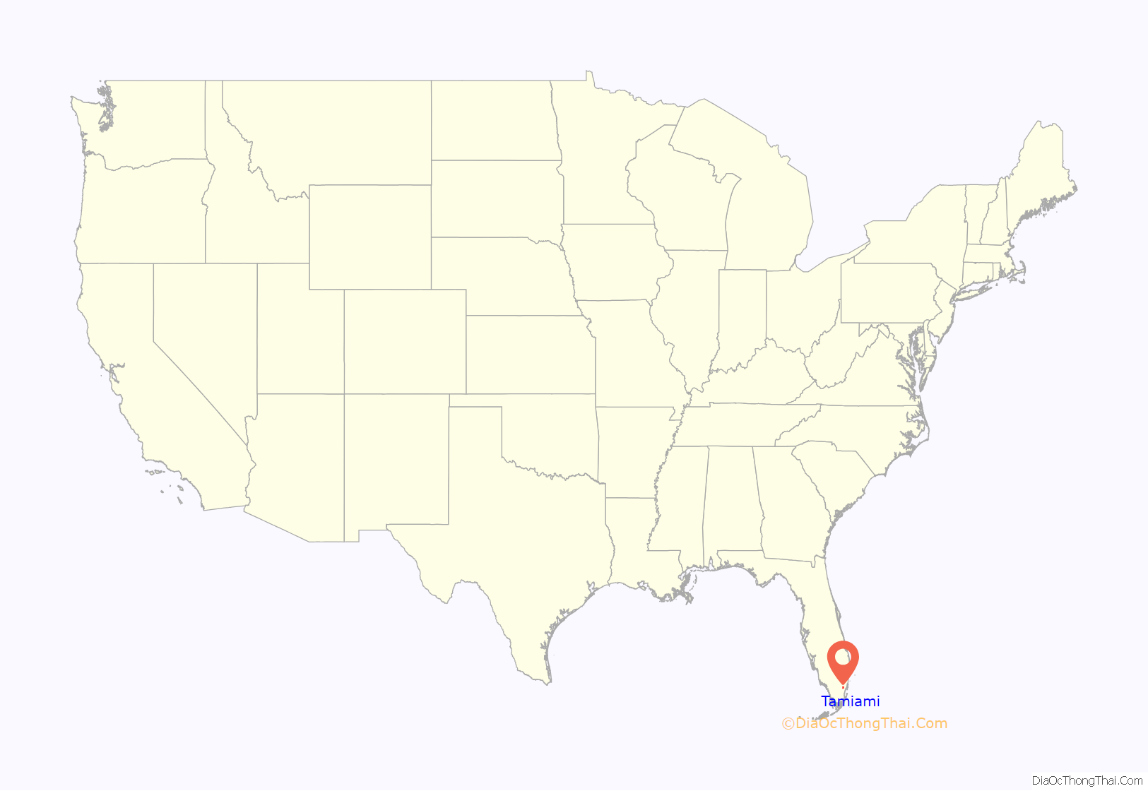
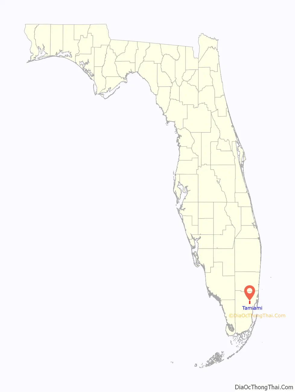
Tamiami location map. Where is Tamiami CDP?
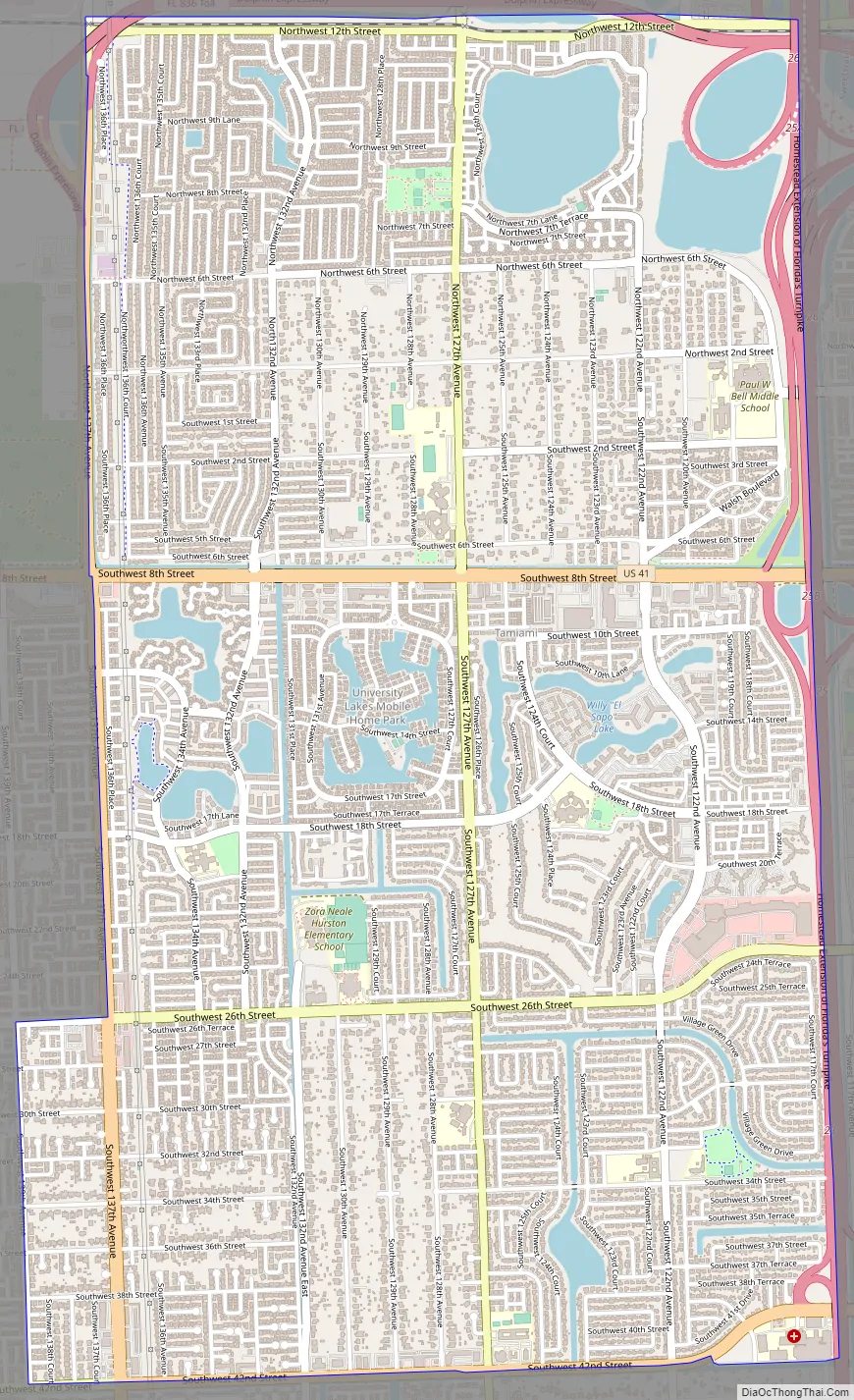
Tamiami Road Map
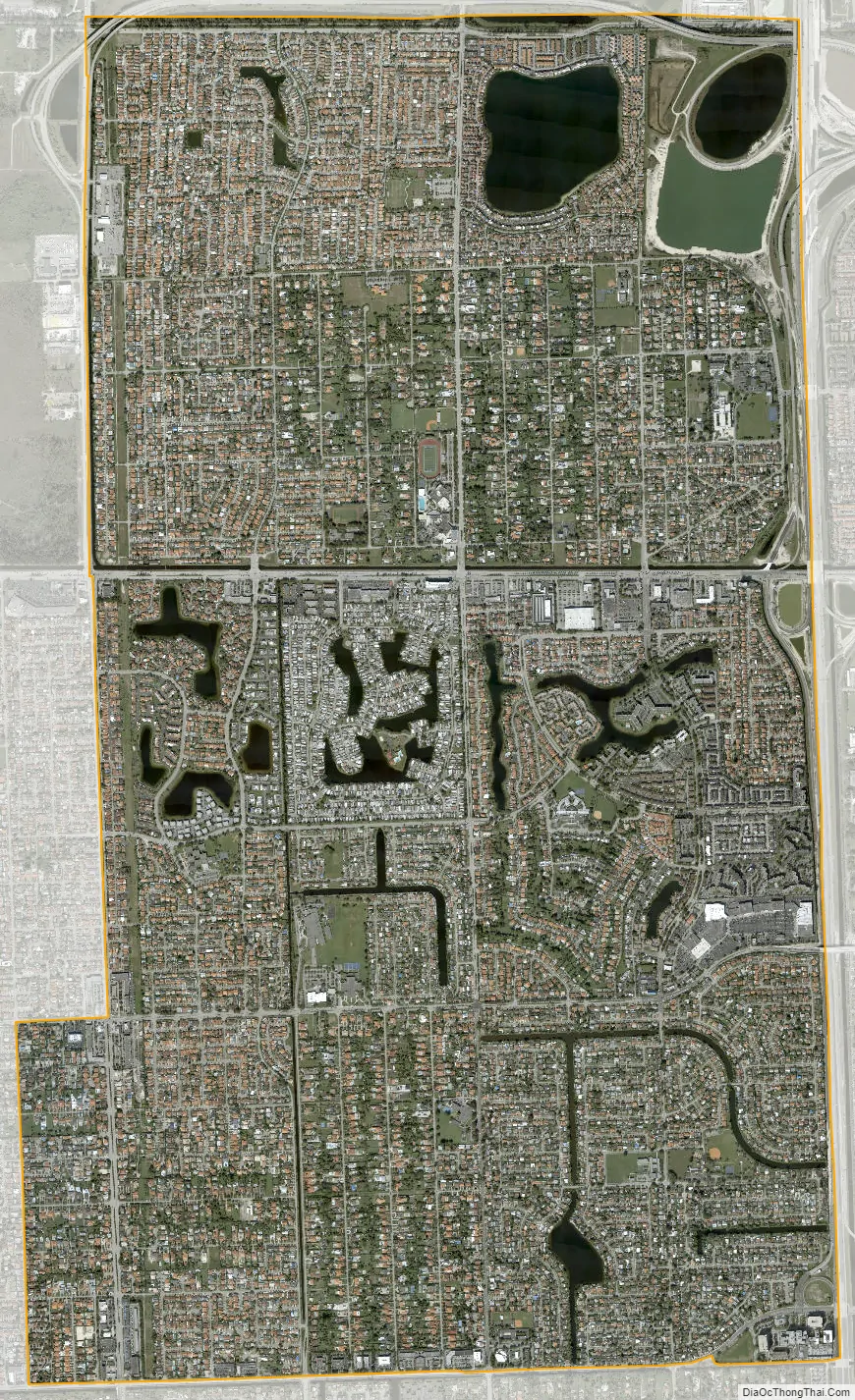
Tamiami city Satellite Map
Geography
Tamiami is located 14 miles (23 km) west of downtown Miami at 25°45′18″N 80°24′13″W / 25.75500°N 80.40361°W / 25.75500; -80.40361 (25.754945, -80.403611). It is bordered to the east by Sweetwater and Westchester, to the southeast by Westwood Lakes, and to the south by Kendale Lakes. U.S. Route 41, the Tamiami Trail, passes through the center of the community, leading east into Miami and west through the Everglades 95 miles (153 km) to Naples. Tampa is an additional 160 miles (260 km) north beyond Naples.
According to the United States Census Bureau, the Tamiami CDP has a total area of 7.4 sq mi (19 km), of which 0.4 sq mi (1.0 km), or 5.16%, are water.
See also
Map of Florida State and its subdivision:- Alachua
- Baker
- Bay
- Bradford
- Brevard
- Broward
- Calhoun
- Charlotte
- Citrus
- Clay
- Collier
- Columbia
- Desoto
- Dixie
- Duval
- Escambia
- Flagler
- Franklin
- Gadsden
- Gilchrist
- Glades
- Gulf
- Hamilton
- Hardee
- Hendry
- Hernando
- Highlands
- Hillsborough
- Holmes
- Indian River
- Jackson
- Jefferson
- Lafayette
- Lake
- Lee
- Leon
- Levy
- Liberty
- Madison
- Manatee
- Marion
- Martin
- Miami-Dade
- Monroe
- Nassau
- Okaloosa
- Okeechobee
- Orange
- Osceola
- Palm Beach
- Pasco
- Pinellas
- Polk
- Putnam
- Saint Johns
- Saint Lucie
- Santa Rosa
- Sarasota
- Seminole
- Sumter
- Suwannee
- Taylor
- Union
- Volusia
- Wakulla
- Walton
- Washington
- Alabama
- Alaska
- Arizona
- Arkansas
- California
- Colorado
- Connecticut
- Delaware
- District of Columbia
- Florida
- Georgia
- Hawaii
- Idaho
- Illinois
- Indiana
- Iowa
- Kansas
- Kentucky
- Louisiana
- Maine
- Maryland
- Massachusetts
- Michigan
- Minnesota
- Mississippi
- Missouri
- Montana
- Nebraska
- Nevada
- New Hampshire
- New Jersey
- New Mexico
- New York
- North Carolina
- North Dakota
- Ohio
- Oklahoma
- Oregon
- Pennsylvania
- Rhode Island
- South Carolina
- South Dakota
- Tennessee
- Texas
- Utah
- Vermont
- Virginia
- Washington
- West Virginia
- Wisconsin
- Wyoming


