Westlake is a city and the 39th municipality in Palm Beach County, Florida, United States. The population was 906 at the 2020 census. It is one of the newest municipalities in the South Florida area.
The Incorporated City of Westlake is located west of Royal Palm Beach and north of Loxahatchee Groves.
| Name: | Westlake city |
|---|---|
| LSAD Code: | 25 |
| LSAD Description: | city (suffix) |
| State: | Florida |
| County: | Palm Beach County |
| Incorporated: | June 2016 |
| Total Area: | 6.55 sq mi (16.97 km²) |
| Land Area: | 6.37 sq mi (16.49 km²) |
| Water Area: | 0.19 sq mi (0.49 km²) |
| Total Population: | 906 |
| Population Density: | 142.32/sq mi (54.95/km²) |
| Area code: | 561 |
| FIPS code: | 1276417 |
| Website: | www.westlakegov.com |
Online Interactive Map
Click on ![]() to view map in "full screen" mode.
to view map in "full screen" mode.
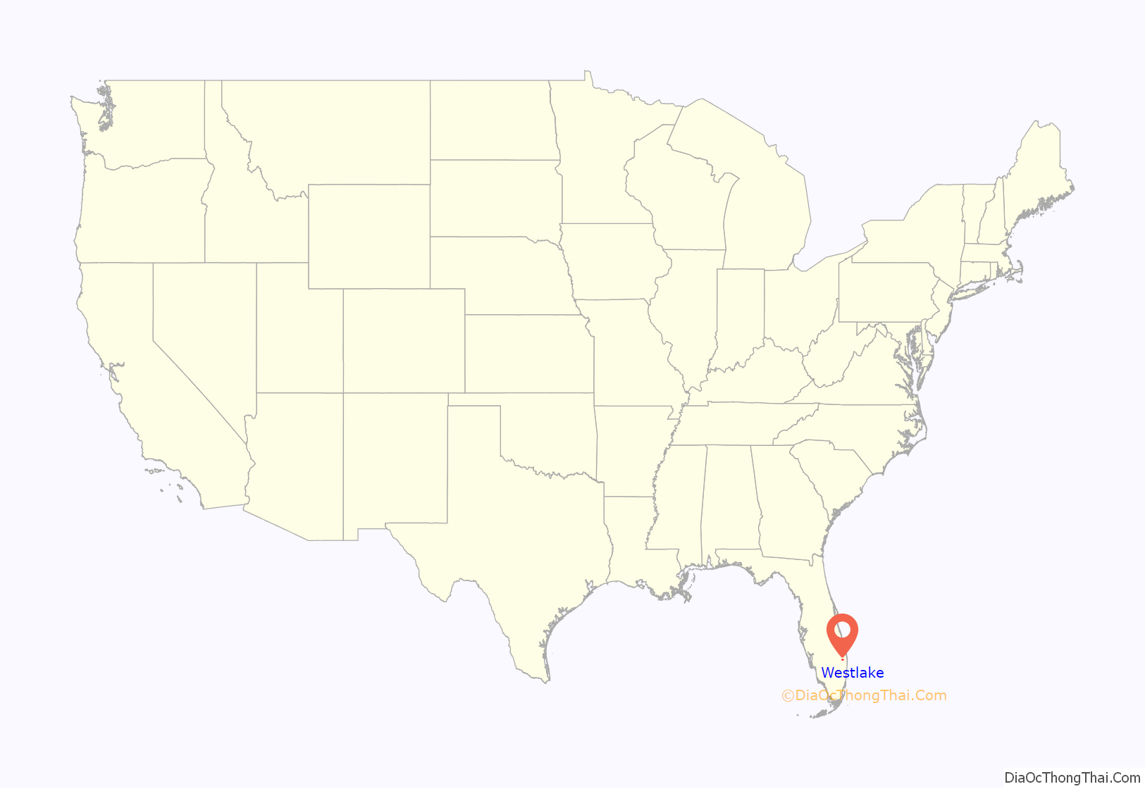
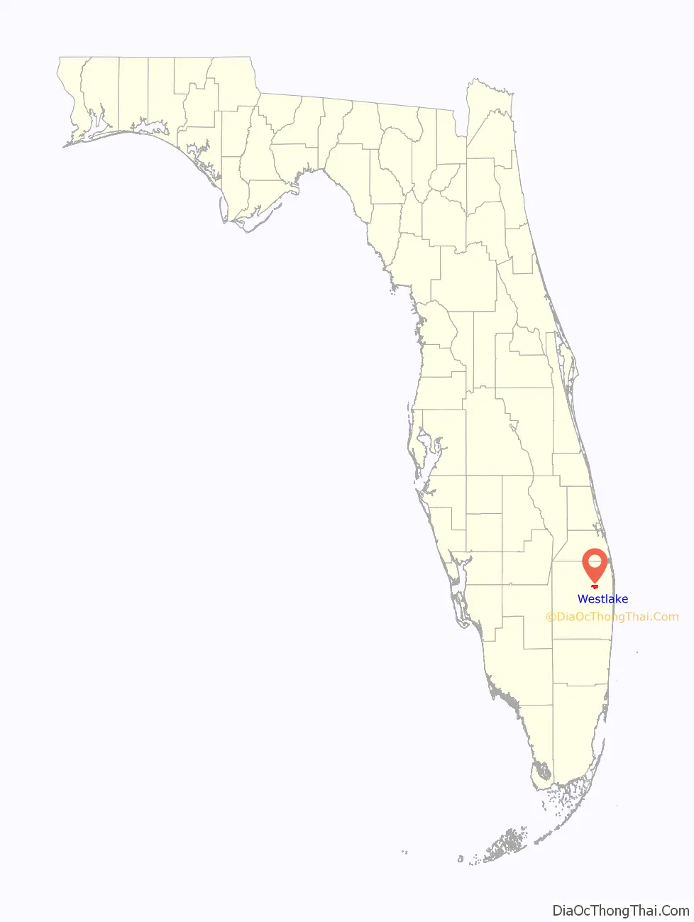
Westlake location map. Where is Westlake city?
History
The city started development after Minto Communities purchased 3,800 acres for $51 million. They later added 200 more acres. It became the 39th city in Palm Beach County in 2016. The city was named in part as a nod to Weston in neighboring Broward County, a similar large-scale community planned by a developer in the 1980s. In November, 2019, Wellington Regional Medical Center purchased 35 acres for $12.3 million to establish a presence in the community.
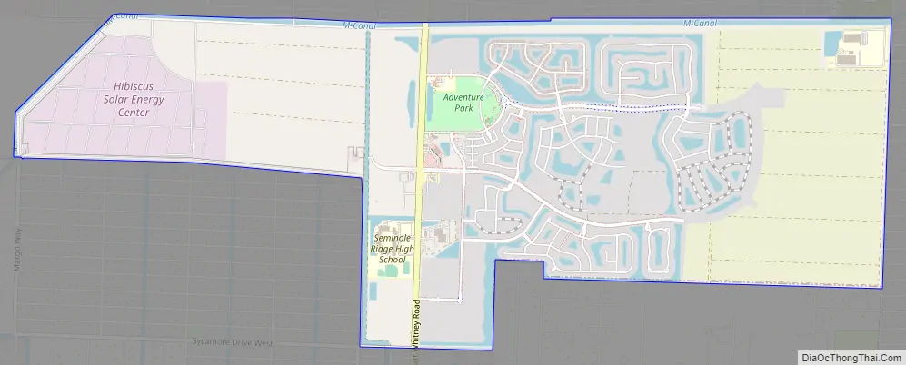
Westlake Road Map
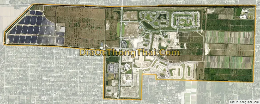
Westlake city Satellite Map
See also
Map of Florida State and its subdivision:- Alachua
- Baker
- Bay
- Bradford
- Brevard
- Broward
- Calhoun
- Charlotte
- Citrus
- Clay
- Collier
- Columbia
- Desoto
- Dixie
- Duval
- Escambia
- Flagler
- Franklin
- Gadsden
- Gilchrist
- Glades
- Gulf
- Hamilton
- Hardee
- Hendry
- Hernando
- Highlands
- Hillsborough
- Holmes
- Indian River
- Jackson
- Jefferson
- Lafayette
- Lake
- Lee
- Leon
- Levy
- Liberty
- Madison
- Manatee
- Marion
- Martin
- Miami-Dade
- Monroe
- Nassau
- Okaloosa
- Okeechobee
- Orange
- Osceola
- Palm Beach
- Pasco
- Pinellas
- Polk
- Putnam
- Saint Johns
- Saint Lucie
- Santa Rosa
- Sarasota
- Seminole
- Sumter
- Suwannee
- Taylor
- Union
- Volusia
- Wakulla
- Walton
- Washington
- Alabama
- Alaska
- Arizona
- Arkansas
- California
- Colorado
- Connecticut
- Delaware
- District of Columbia
- Florida
- Georgia
- Hawaii
- Idaho
- Illinois
- Indiana
- Iowa
- Kansas
- Kentucky
- Louisiana
- Maine
- Maryland
- Massachusetts
- Michigan
- Minnesota
- Mississippi
- Missouri
- Montana
- Nebraska
- Nevada
- New Hampshire
- New Jersey
- New Mexico
- New York
- North Carolina
- North Dakota
- Ohio
- Oklahoma
- Oregon
- Pennsylvania
- Rhode Island
- South Carolina
- South Dakota
- Tennessee
- Texas
- Utah
- Vermont
- Virginia
- Washington
- West Virginia
- Wisconsin
- Wyoming


