Whitfield, also known as Whitfield Estates, is an unincorporated community and census-designated place (CDP) in Manatee County, Florida, United States. As of the 2020 census it had a population of 2,989. It is part of the North Port–Sarasota–Bradenton Metropolitan Statistical Area. It receives its mail from the Sarasota post office located in Sarasota County.
| Name: | Whitfield CDP |
|---|---|
| LSAD Code: | 57 |
| LSAD Description: | CDP (suffix) |
| State: | Florida |
| County: | Manatee County |
| Elevation: | 16 ft (5 m) |
| Total Area: | 1.40 sq mi (3.62 km²) |
| Land Area: | 1.38 sq mi (3.57 km²) |
| Water Area: | 0.02 sq mi (0.05 km²) |
| Total Population: | 2,989 |
| Population Density: | 2,167.51/sq mi (836.74/km²) |
| ZIP code: | 34243 (Sarasota) |
| Area code: | 941 |
| FIPS code: | 1277467 |
| GNISfeature ID: | 1867236 |
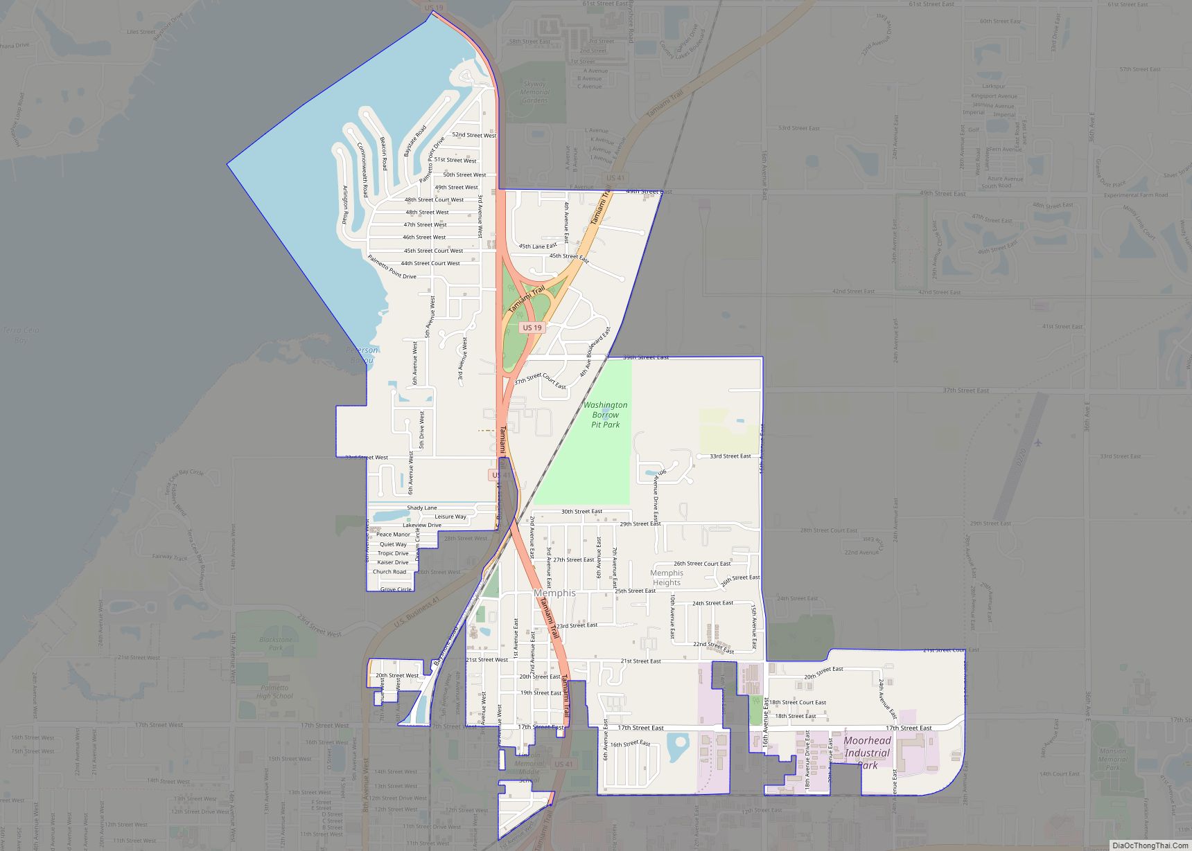
Online Interactive Map
Click on ![]() to view map in "full screen" mode.
to view map in "full screen" mode.
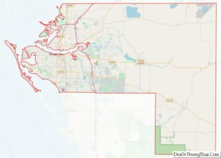
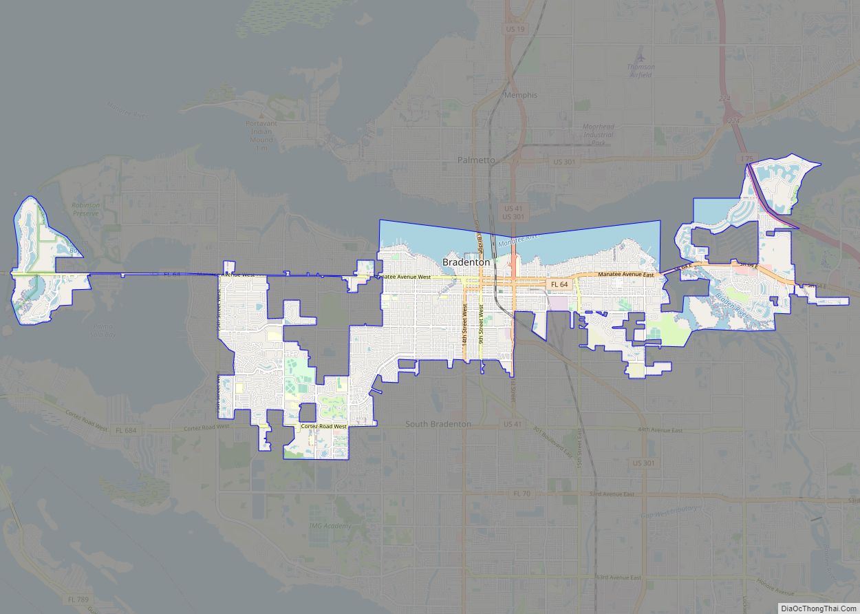
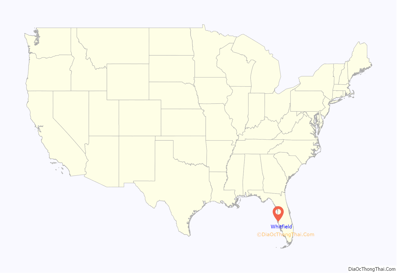
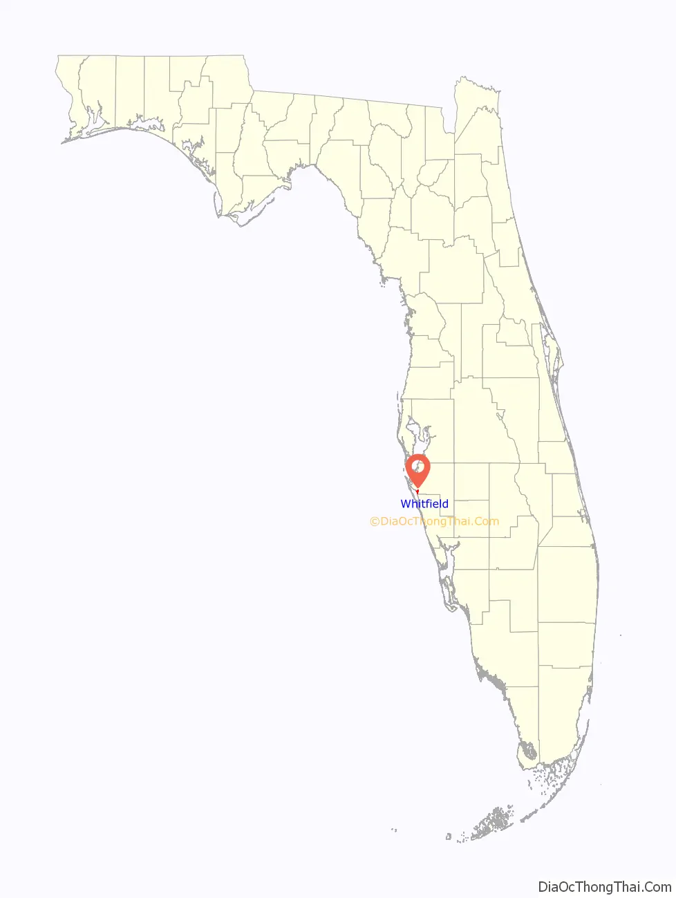
Whitfield location map. Where is Whitfield CDP?
History
Whitfield Estates was formerly a 682-acre (276 ha) wooded area that had been homesteaded by General John Riggin, aide-de-camp to Ulysses S. Grant. The property included the 218-acre (88 ha) bayfront estate of Alfred Ringling. In 1924, the property was purchased from Richard T. Ringling, son of Alfred, by a corporation called Whitfield Estates, Inc., held by Louis Broughton Whitfield, D. G. Haley, E. H. Price, and E. S. Delaplane, Jr., all residents of Alabama.
Louis Whitfield, a native of Montgomery, Alabama, and president and primary investor of the development, was founder and president of the Alaga Syrup Company and the W. W. Pickle Company. Many streets in the subdivision were named for the Whitfield family, including Broughton and Pearl. The original plan for Whitfield Estates called for a housing development, an 18-hole golf course, hotel, yacht basin and man-made islands in the bay. Donald Ross was retained as the golf course architect. Sometime during late 1925 or very early into 1926, L. B. Whitfield would leave the development and his interest was taken over by Adair realty. In 1926, the developing neighborhood was incorporated as a city with E.S. Bond acting as mayor.
Like many other Florida Land Boom developments, it would never end up reaching the goals set by its developers. One of the first signs of financial trouble came when a decision was made to open membership of the Whitfield Estates County Club for residents of Sarasota and Bradenton if they agreed to take over the operating expenses associated with it. After the collapse of the boom, the residents of Whitfield would have difficulties staying there. Some homes would go through a series of different rentals while those that were under construction would end up being left unfinished for several years.
With the 1929 stock market crash and the arrival of the Great Depression, the conditions further worsened for residents there. During the years of the Great Depression there would be very little construction in Whitfield. In 1937 a group of club members ended up buying the golf course and club house, renaming it “Sarasota Bay Country Club”. It was renamed once again in 1938 to “North Shore Country Club”. During World War II, the club would close because of gasoline rationing and not being able to get golf balls. It ended up becoming overgrown, and after the war the US Army would help restore the golf course.
Whitfield Estates experienced a resurgence after World War II. Located near the Sarasota Army Airfield, the area became a popular location for families to settle during the post-war housing boom. This played a major role in the recovery of the community, with the Whitfield Community Improvement Association being established in the mid-1940s. The club was given its current name, “Sara Bay Country Club”, in 1964.
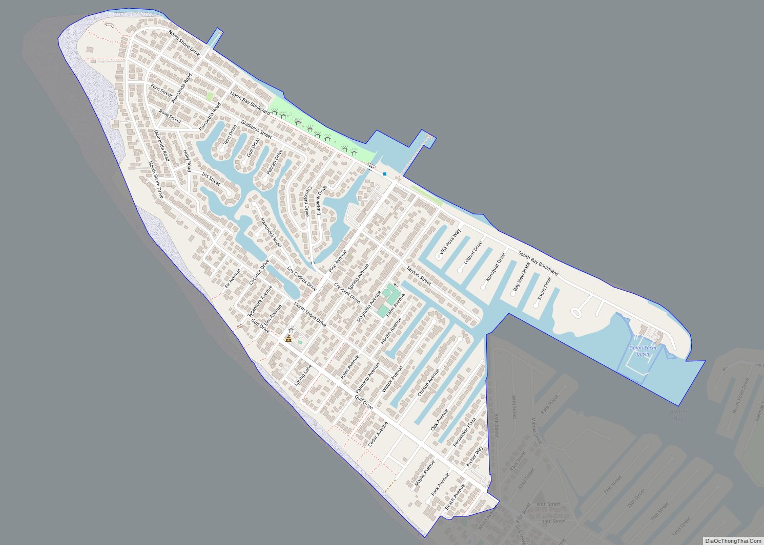
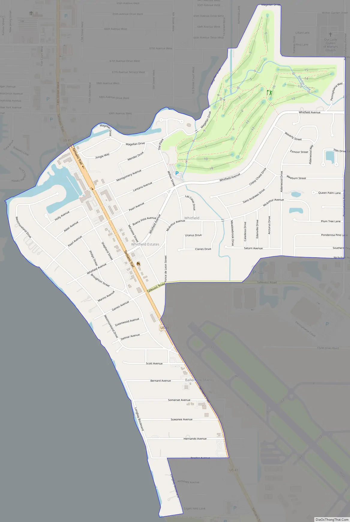
Whitfield Road Map
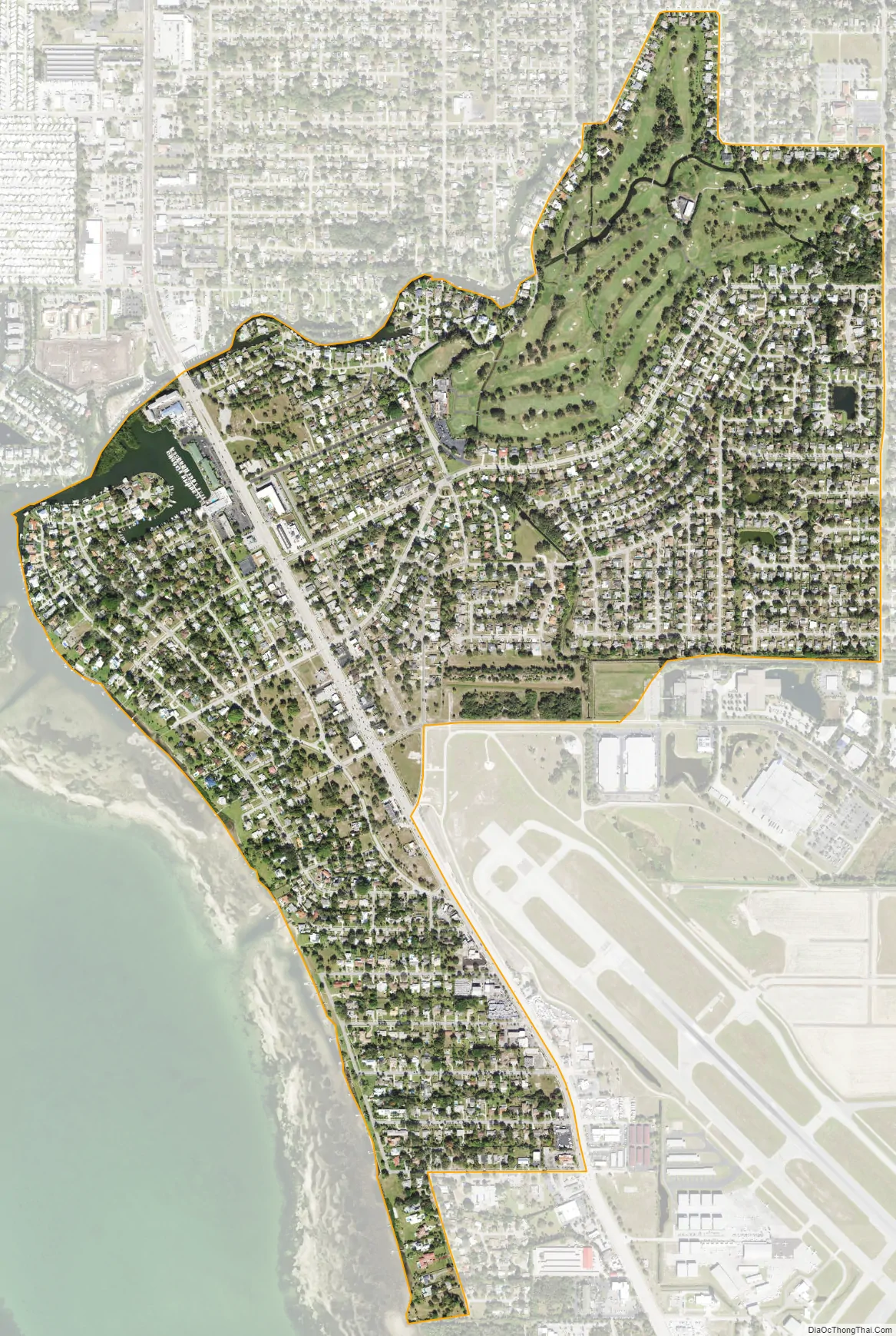
Whitfield city Satellite Map
Geography
Whitfield is in southern Manatee County, on the northeast shore of Sarasota Bay. It is bordered to the north by Bowlees Creek and the unincorporated community of Bayshore Gardens, and to the southeast by Sarasota–Bradenton International Airport. It is 6 miles (10 km) north of the center of Sarasota and the same distance south of Bradenton, the Manatee county seat.
According to the United States Census Bureau, the Whitfield CDP has a total area of 1.4 square miles (3.6 km), of which 0.02 square miles (0.05 km), or 1.43%, are water.
See also
Map of Florida State and its subdivision:- Alachua
- Baker
- Bay
- Bradford
- Brevard
- Broward
- Calhoun
- Charlotte
- Citrus
- Clay
- Collier
- Columbia
- Desoto
- Dixie
- Duval
- Escambia
- Flagler
- Franklin
- Gadsden
- Gilchrist
- Glades
- Gulf
- Hamilton
- Hardee
- Hendry
- Hernando
- Highlands
- Hillsborough
- Holmes
- Indian River
- Jackson
- Jefferson
- Lafayette
- Lake
- Lee
- Leon
- Levy
- Liberty
- Madison
- Manatee
- Marion
- Martin
- Miami-Dade
- Monroe
- Nassau
- Okaloosa
- Okeechobee
- Orange
- Osceola
- Palm Beach
- Pasco
- Pinellas
- Polk
- Putnam
- Saint Johns
- Saint Lucie
- Santa Rosa
- Sarasota
- Seminole
- Sumter
- Suwannee
- Taylor
- Union
- Volusia
- Wakulla
- Walton
- Washington
- Alabama
- Alaska
- Arizona
- Arkansas
- California
- Colorado
- Connecticut
- Delaware
- District of Columbia
- Florida
- Georgia
- Hawaii
- Idaho
- Illinois
- Indiana
- Iowa
- Kansas
- Kentucky
- Louisiana
- Maine
- Maryland
- Massachusetts
- Michigan
- Minnesota
- Mississippi
- Missouri
- Montana
- Nebraska
- Nevada
- New Hampshire
- New Jersey
- New Mexico
- New York
- North Carolina
- North Dakota
- Ohio
- Oklahoma
- Oregon
- Pennsylvania
- Rhode Island
- South Carolina
- South Dakota
- Tennessee
- Texas
- Utah
- Vermont
- Virginia
- Washington
- West Virginia
- Wisconsin
- Wyoming