Bathgate is a city in Pembina County, North Dakota, United States. It sits on the banks of the Tongue River. The population was 47 at the 2020 census. Bathgate was founded in 1881. In 1908, the North Dakota School for the Blind was placed in Bathgate. The building still stands and is now occupied by a publishing company. Bathgate was the childhood home of former world-champion speed skater and figure skater Norval Baptie.
| Name: | Bathgate city |
|---|---|
| LSAD Code: | 25 |
| LSAD Description: | city (suffix) |
| State: | North Dakota |
| County: | Pembina County |
| Founded: | 1881 |
| Elevation: | 817 ft (249 m) |
| Total Area: | 0.28 sq mi (0.72 km²) |
| Land Area: | 0.28 sq mi (0.72 km²) |
| Water Area: | 0.00 sq mi (0.00 km²) |
| Total Population: | 47 |
| Population Density: | 169.68/sq mi (65.50/km²) |
| ZIP code: | 58216 |
| Area code: | 701 |
| FIPS code: | 3805260 |
| GNISfeature ID: | 1027828 |
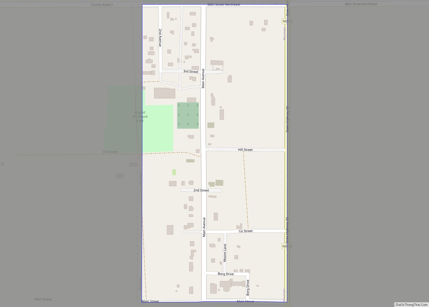
Online Interactive Map
Click on ![]() to view map in "full screen" mode.
to view map in "full screen" mode.
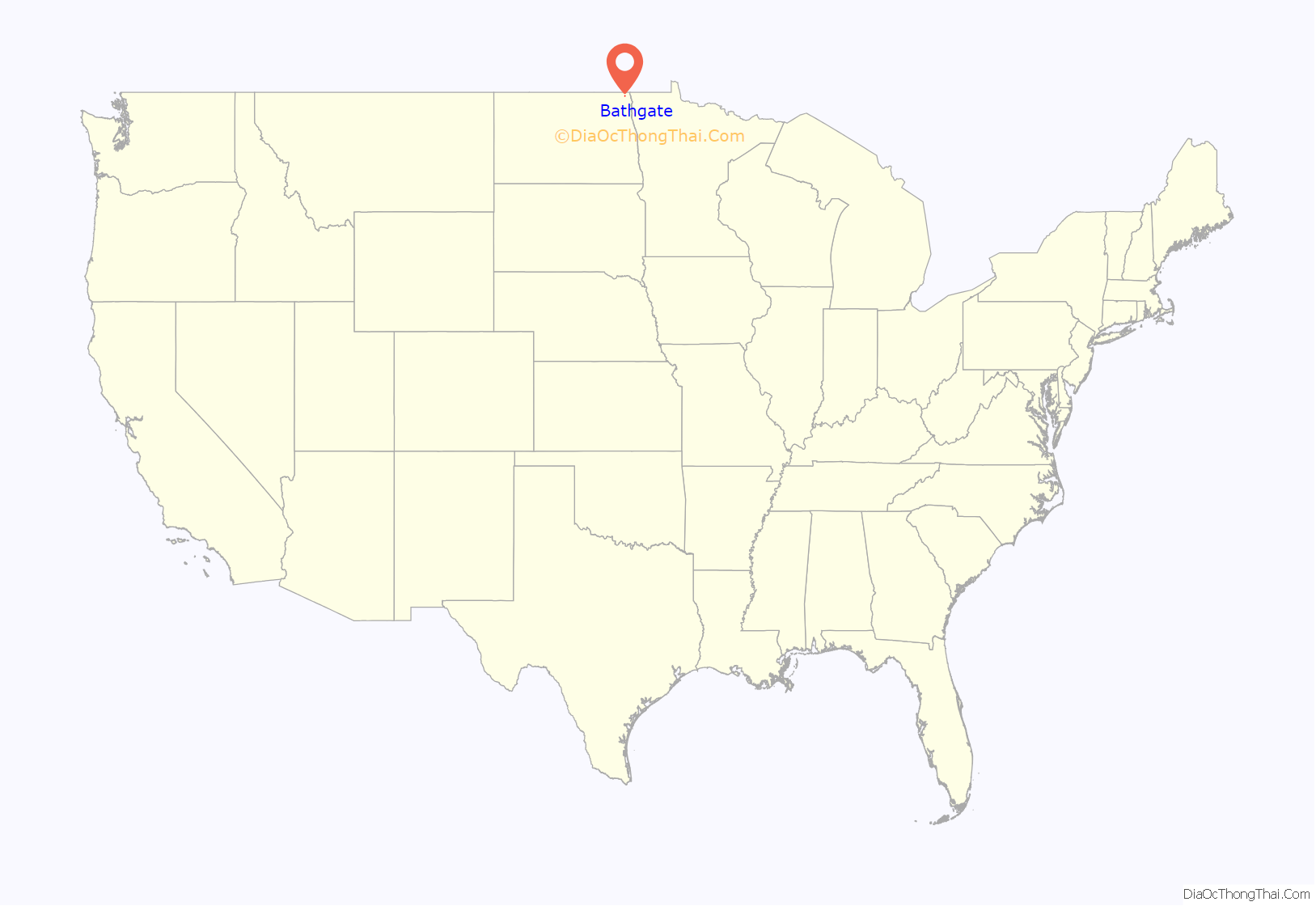
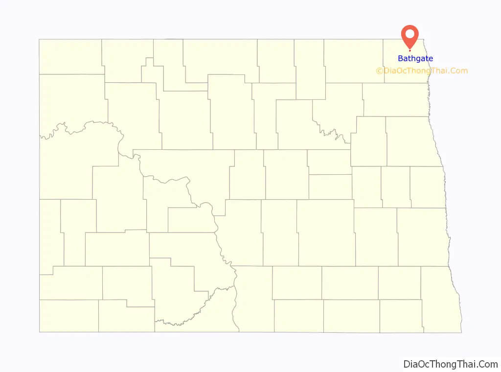
Bathgate location map. Where is Bathgate city?
History
Bathgate was originally called Bayview, and was laid out under that name in 1879. The present name, after Bathgate, Scotland, was adopted in 1881. A post office called Bathgate has been in operation since that year.
In June 1909, Bathgate experienced an 11-hour thunderstorm that destroyed several buildings and killed a number of horses.
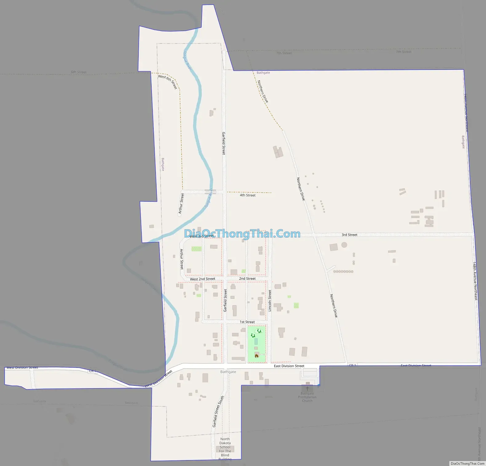
Bathgate Road Map
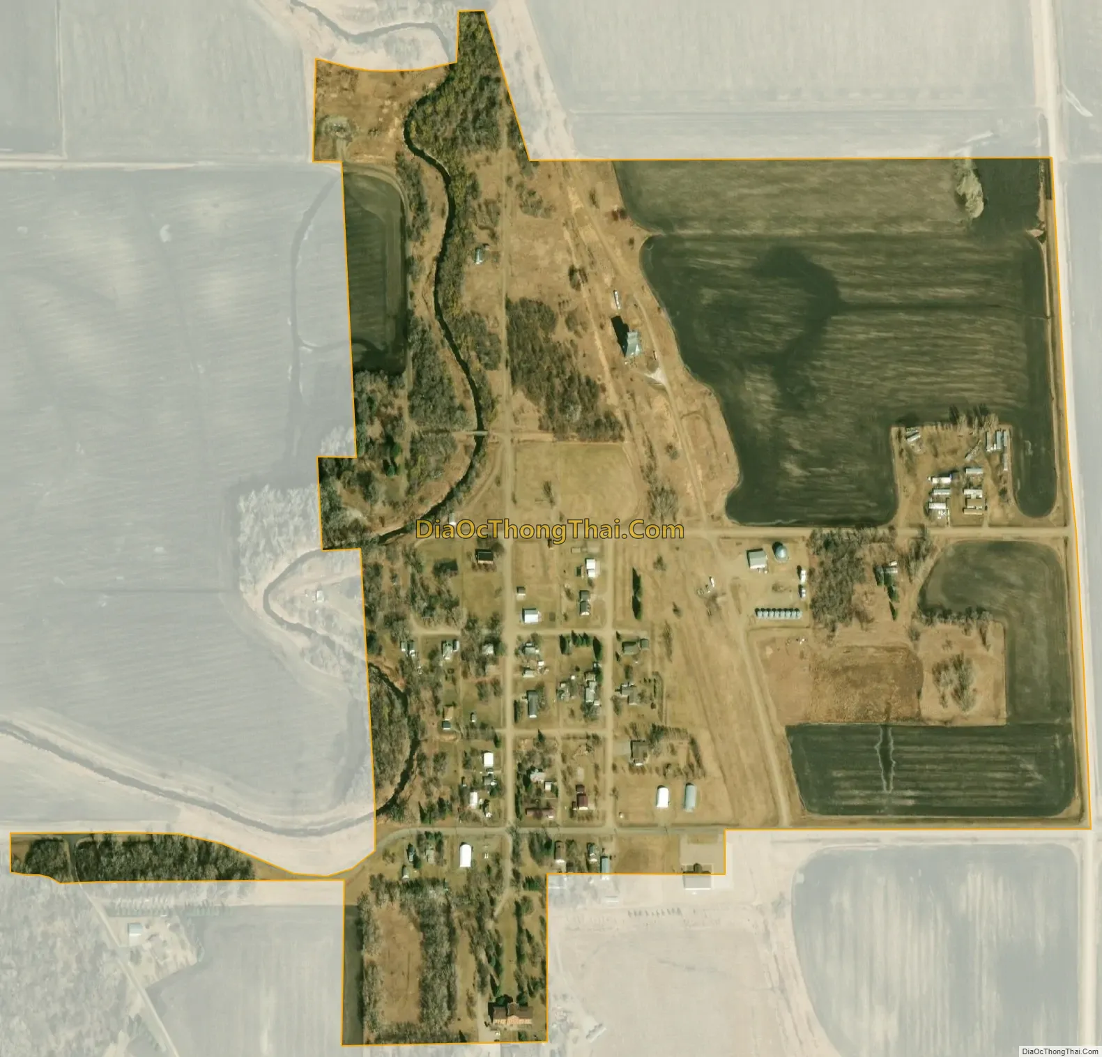
Bathgate city Satellite Map
Geography
Bathgate is located at 48°52′52″N 97°28′21″W / 48.88111°N 97.47250°W / 48.88111; -97.47250 (48.881014, -97.472429).
According to the United States Census Bureau, the town has a total area of 0.27 square miles (0.70 km), all land.
See also
Map of North Dakota State and its subdivision:- Adams
- Barnes
- Benson
- Billings
- Bottineau
- Bowman
- Burke
- Burleigh
- Cass
- Cavalier
- Dickey
- Divide
- Dunn
- Eddy
- Emmons
- Foster
- Golden Valley
- Grand Forks
- Grant
- Griggs
- Hettinger
- Kidder
- Lamoure
- Logan
- McHenry
- McIntosh
- McKenzie
- McLean
- Mercer
- Morton
- Mountrail
- Nelson
- Oliver
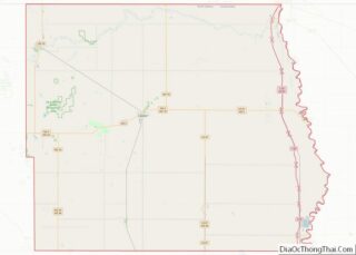
- Pembina
- Pierce
- Ramsey
- Ransom
- Renville
- Richland
- Rolette
- Sargent
- Sheridan
- Sioux
- Slope
- Stark
- Steele
- Stutsman
- Towner
- Traill
- Walsh
- Ward
- Wells
- Williams
- Alabama
- Alaska
- Arizona
- Arkansas
- California
- Colorado
- Connecticut
- Delaware
- District of Columbia
- Florida
- Georgia
- Hawaii
- Idaho
- Illinois
- Indiana
- Iowa
- Kansas
- Kentucky
- Louisiana
- Maine
- Maryland
- Massachusetts
- Michigan
- Minnesota
- Mississippi
- Missouri
- Montana
- Nebraska
- Nevada
- New Hampshire
- New Jersey
- New Mexico
- New York
- North Carolina
- North Dakota
- Ohio
- Oklahoma
- Oregon
- Pennsylvania
- Rhode Island
- South Carolina
- South Dakota
- Tennessee
- Texas
- Utah
- Vermont
- Virginia
- Washington
- West Virginia
- Wisconsin
- Wyoming