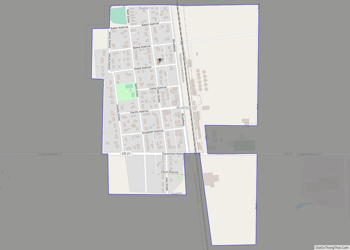
Buxton is a city in Traill County, North Dakota, United States. The population was 348 at the 2020 census. Buxton was founded in 1880. Today, it has become a bedroom community for the nearby Greater Grand Forks metropolitan area.
| Name: | Buxton city |
|---|---|
| LSAD Code: | 25 |
| LSAD Description: | city (suffix) |
| State: | North Dakota |
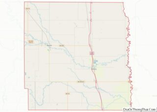
| County: | Traill County |
| Founded: | 1880 |
| Incorporated: | 1922 |
| Elevation: | 932 ft (284 m) |
| Total Area: | 0.33 sq mi (0.86 km²) |
| Land Area: | 0.33 sq mi (0.86 km²) |
| Water Area: | 0.00 sq mi (0.00 km²) |
| Total Population: | 348 |
| Population Density: | 1,041.92/sq mi (402.47/km²) |
| ZIP code: | 58218 |
| Area code: | 701 |
| FIPS code: | 3811340 |
| GNISfeature ID: | 1028221 |
| Website: | buxtonnd.com |
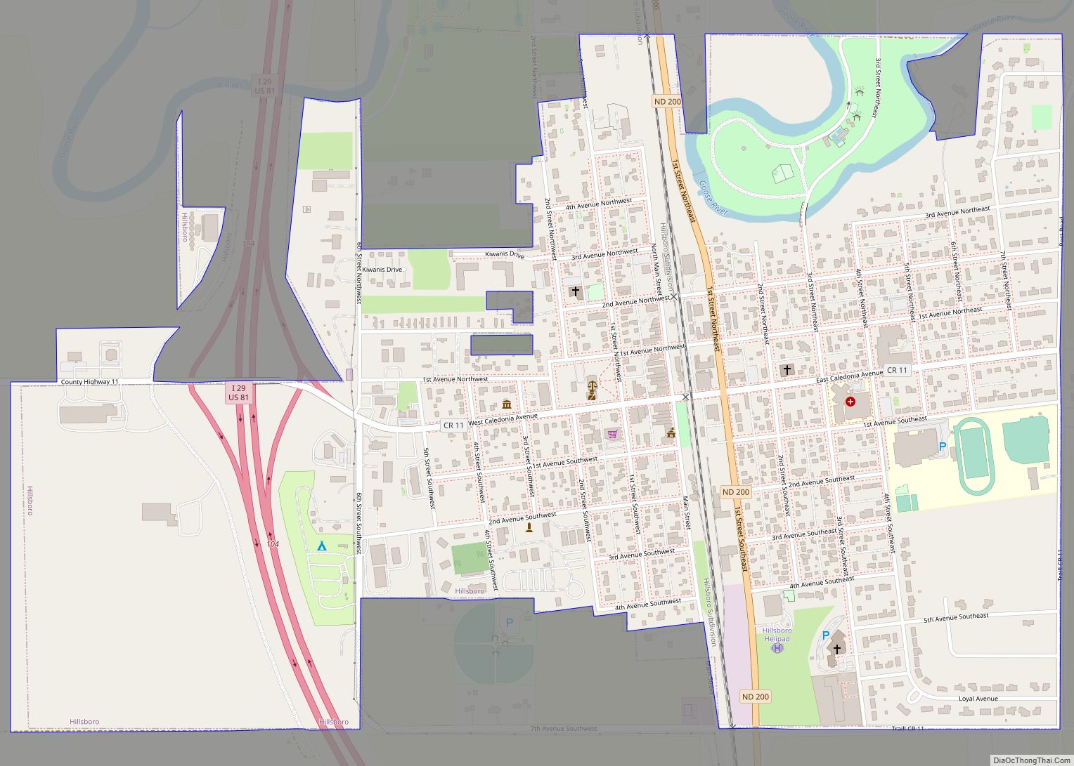
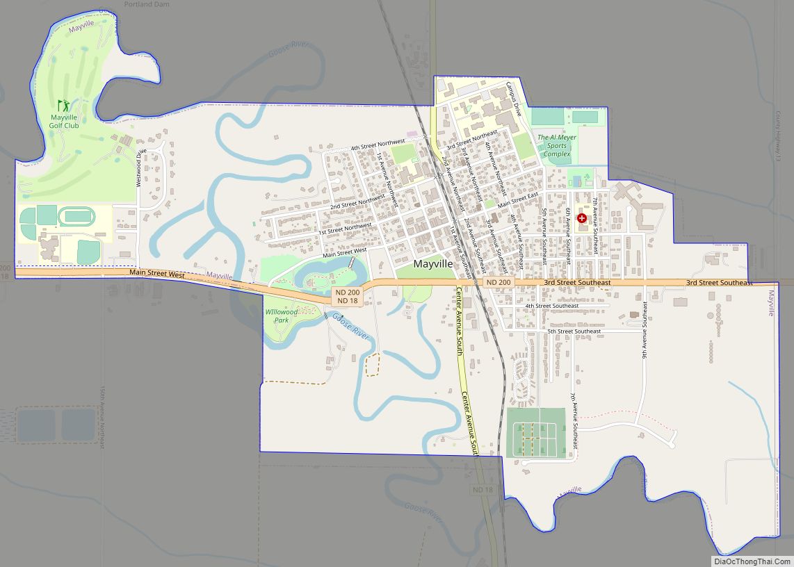
Online Interactive Map
Click on ![]() to view map in "full screen" mode.
to view map in "full screen" mode.
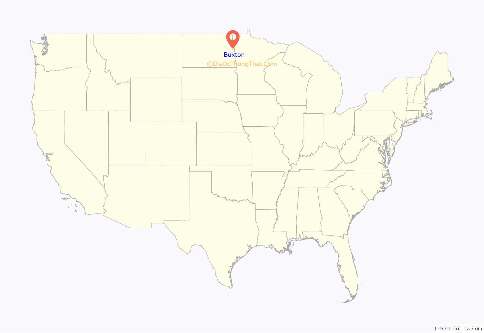
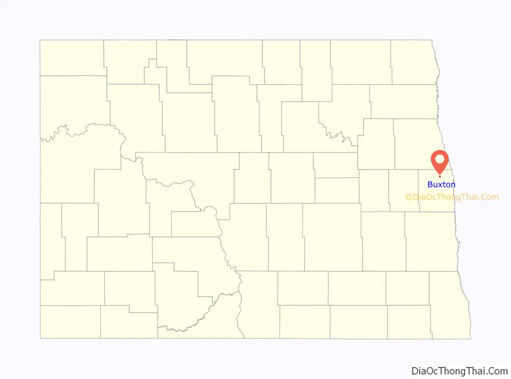
Buxton location map. Where is Buxton city?
History
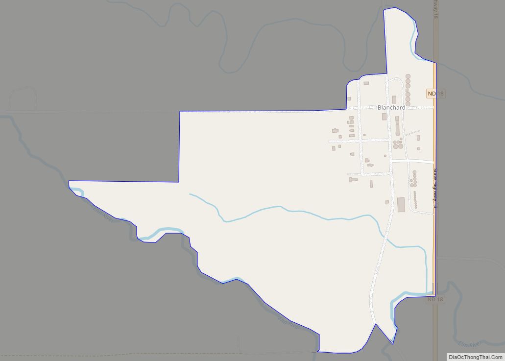
Buxton was founded in 1880 in Buxton Township as a townsite along the Great Northern Railroad in 1880. The post office began operating in November of that year. It was incorporated as a village in 1922. It became a city in 1967, after the North Dakota Legislature enacted legislation that eliminated all existing incorporation titles for towns and villages in the state.
The town was named after Thomas J. Buxton, who at the time was the city treasurer in Minneapolis, Minnesota. Buxton was a close friend and business associated of the town’s founder, Budd Reeve.
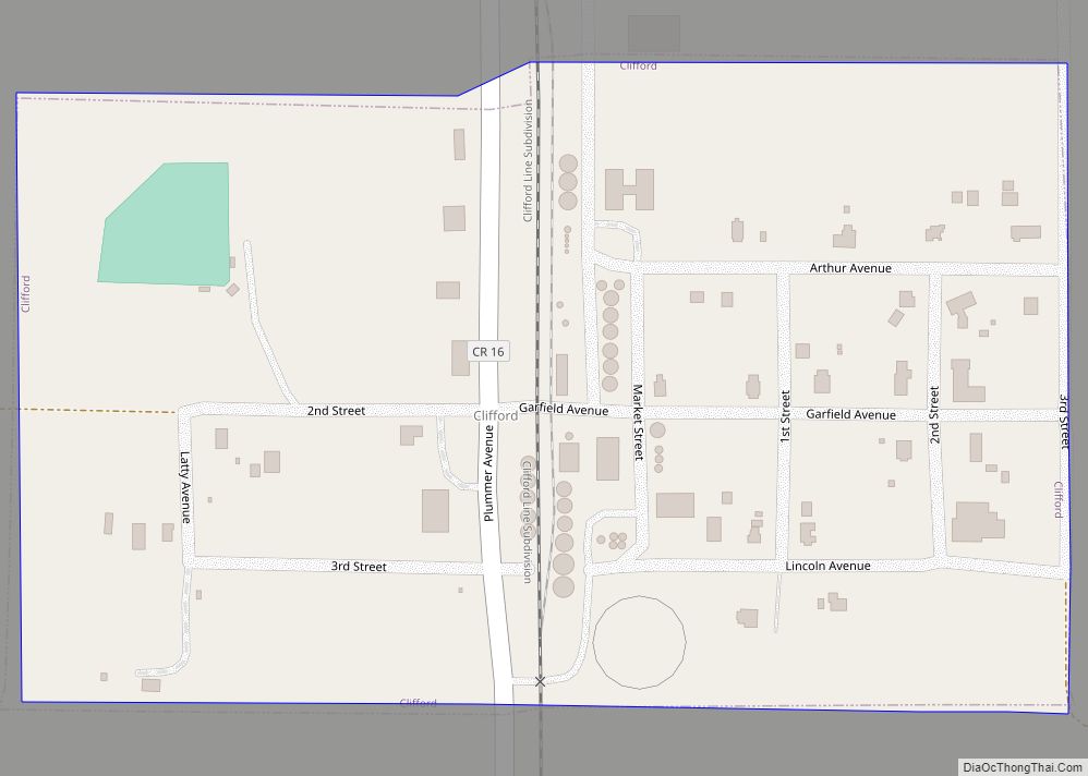
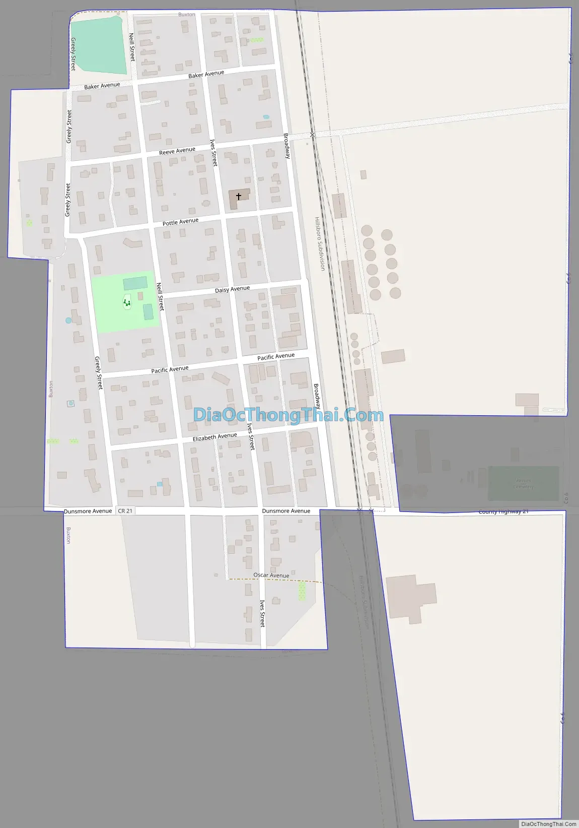
Buxton Road Map
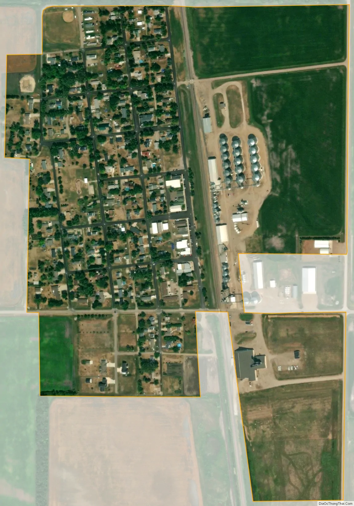
Buxton city Satellite Map
Geography
Buxton is located at 47°36′12″N 97°5′59″W / 47.60333°N 97.09972°W / 47.60333; -97.09972 (47.603230, -97.099770).
According to the United States Census Bureau in 2010, the city has a total area of 0.20 square miles (0.52 km), all land.
See also
Map of North Dakota State and its subdivision:- Adams
- Barnes
- Benson
- Billings
- Bottineau
- Bowman
- Burke
- Burleigh
- Cass
- Cavalier
- Dickey
- Divide
- Dunn
- Eddy
- Emmons
- Foster
- Golden Valley
- Grand Forks
- Grant
- Griggs
- Hettinger
- Kidder
- Lamoure
- Logan
- McHenry
- McIntosh
- McKenzie
- McLean
- Mercer
- Morton
- Mountrail
- Nelson
- Oliver
- Pembina
- Pierce
- Ramsey
- Ransom
- Renville
- Richland
- Rolette
- Sargent
- Sheridan
- Sioux
- Slope
- Stark
- Steele
- Stutsman
- Towner
- Traill
- Walsh
- Ward
- Wells
- Williams
- Alabama
- Alaska
- Arizona
- Arkansas
- California
- Colorado
- Connecticut
- Delaware
- District of Columbia
- Florida
- Georgia
- Hawaii
- Idaho
- Illinois
- Indiana
- Iowa
- Kansas
- Kentucky
- Louisiana
- Maine
- Maryland
- Massachusetts
- Michigan
- Minnesota
- Mississippi
- Missouri
- Montana
- Nebraska
- Nevada
- New Hampshire
- New Jersey
- New Mexico
- New York
- North Carolina
- North Dakota
- Ohio
- Oklahoma
- Oregon
- Pennsylvania
- Rhode Island
- South Carolina
- South Dakota
- Tennessee
- Texas
- Utah
- Vermont
- Virginia
- Washington
- West Virginia
- Wisconsin
- Wyoming