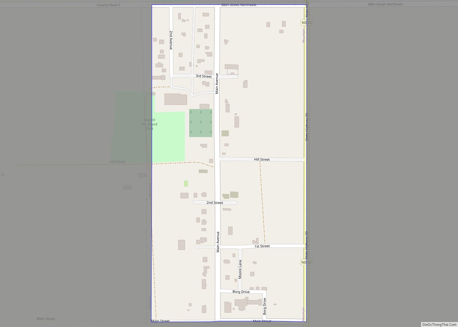
Canton City, also known as Hensel, is a town located on the east edge of Park Township in Pembina County, North Dakota, United States. The population was 31 at the 2020 census. The city was founded as Canton Village in 1882. The post office was relocated from a location named Hensel a short distance away, and retained its name. The result is that Hensel Post Office is located in Canton City, and the town is most frequently referred to as Hensel and is marked as such on highway signs and maps. However the proper and legal name is Canton, whether as a city or a village. Although no documents have been found to locate the original Hensel Post Office, it is likely that is was just over two miles southwest of Canton City, on the land in the northeast quarter of Section 22 in Park Township that was homesteaded (granted 31 Dec 1890) by Joseph Erwin (or Irwin), whom records identify as the first postmaster, appointed 5 Feb 1884.
| Name: | Canton City (Hensel) city |
|---|---|
| LSAD Code: | 25 |
| LSAD Description: | city (suffix) |
| State: | North Dakota |
| County: | Pembina County |
| Founded: | 1882 |
| Elevation: | 2,119 ft (646 m) |
| Total Area: | 0.25 sq mi (0.65 km²) |
| Land Area: | 0.25 sq mi (0.65 km²) |
| Water Area: | 0.00 sq mi (0.00 km²) |
| Total Population: | 31 |
| Population Density: | 124.50/sq mi (48.04/km²) |
| ZIP code: | 58241 |
| Area code: | 701 |
| FIPS code: | 3812060 |
| GNISfeature ID: | 1037261 |
Online Interactive Map
Click on ![]() to view map in "full screen" mode.
to view map in "full screen" mode.
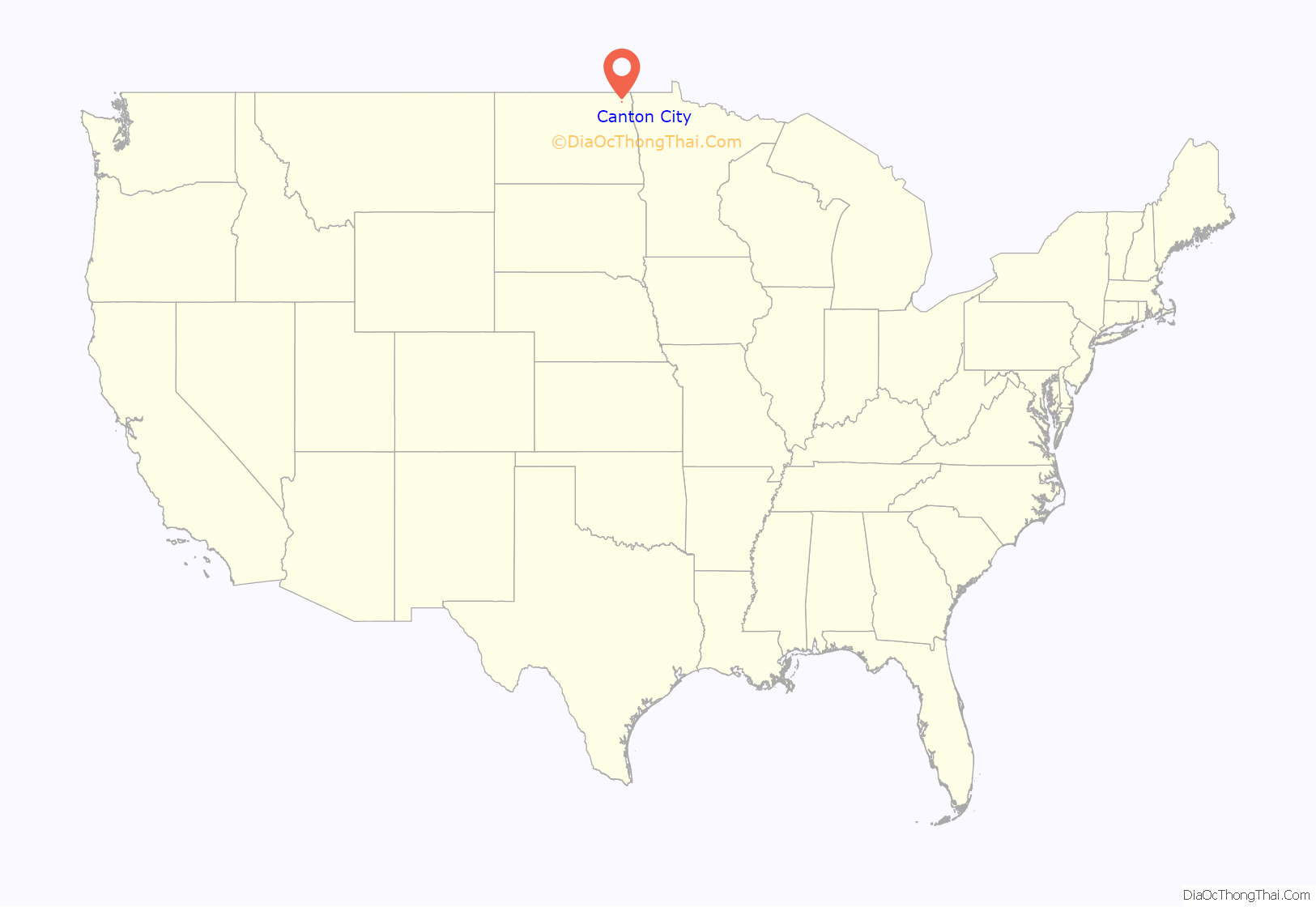
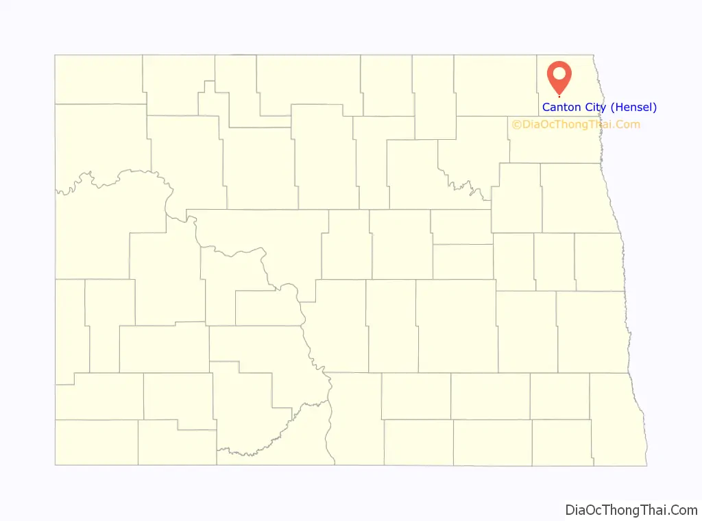
Canton City location map. Where is Canton City (Hensel) city?
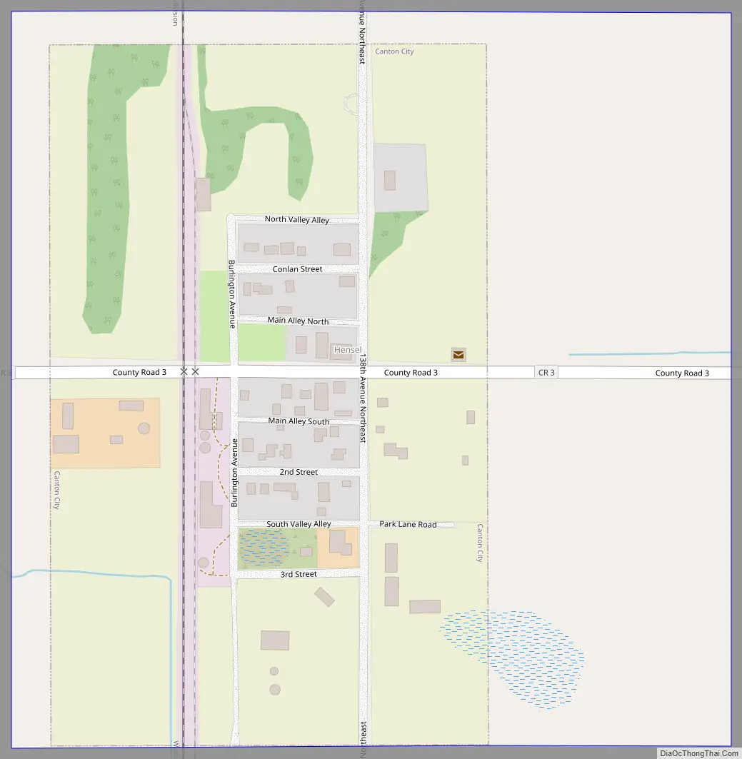
Canton City Road Map
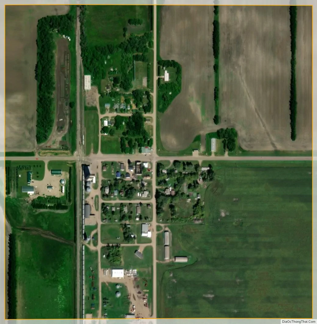
Canton City city Satellite Map
Geography
According to the United States Census Bureau, the city has a total area of 0.14 square miles (0.36 km), all land.
See also
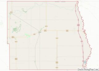
Map of North Dakota State and its subdivision:- Adams
- Barnes
- Benson
- Billings
- Bottineau
- Bowman
- Burke
- Burleigh
- Cass
- Cavalier
- Dickey
- Divide
- Dunn
- Eddy
- Emmons
- Foster
- Golden Valley
- Grand Forks
- Grant
- Griggs
- Hettinger
- Kidder
- Lamoure
- Logan
- McHenry
- McIntosh
- McKenzie
- McLean
- Mercer
- Morton
- Mountrail
- Nelson
- Oliver
- Pembina
- Pierce
- Ramsey
- Ransom
- Renville
- Richland
- Rolette
- Sargent
- Sheridan
- Sioux
- Slope
- Stark
- Steele
- Stutsman
- Towner
- Traill
- Walsh
- Ward
- Wells
- Williams
- Alabama
- Alaska
- Arizona
- Arkansas
- California
- Colorado
- Connecticut
- Delaware
- District of Columbia
- Florida
- Georgia
- Hawaii
- Idaho
- Illinois
- Indiana
- Iowa
- Kansas
- Kentucky
- Louisiana
- Maine
- Maryland
- Massachusetts
- Michigan
- Minnesota
- Mississippi
- Missouri
- Montana
- Nebraska
- Nevada
- New Hampshire
- New Jersey
- New Mexico
- New York
- North Carolina
- North Dakota
- Ohio
- Oklahoma
- Oregon
- Pennsylvania
- Rhode Island
- South Carolina
- South Dakota
- Tennessee
- Texas
- Utah
- Vermont
- Virginia
- Washington
- West Virginia
- Wisconsin
- Wyoming