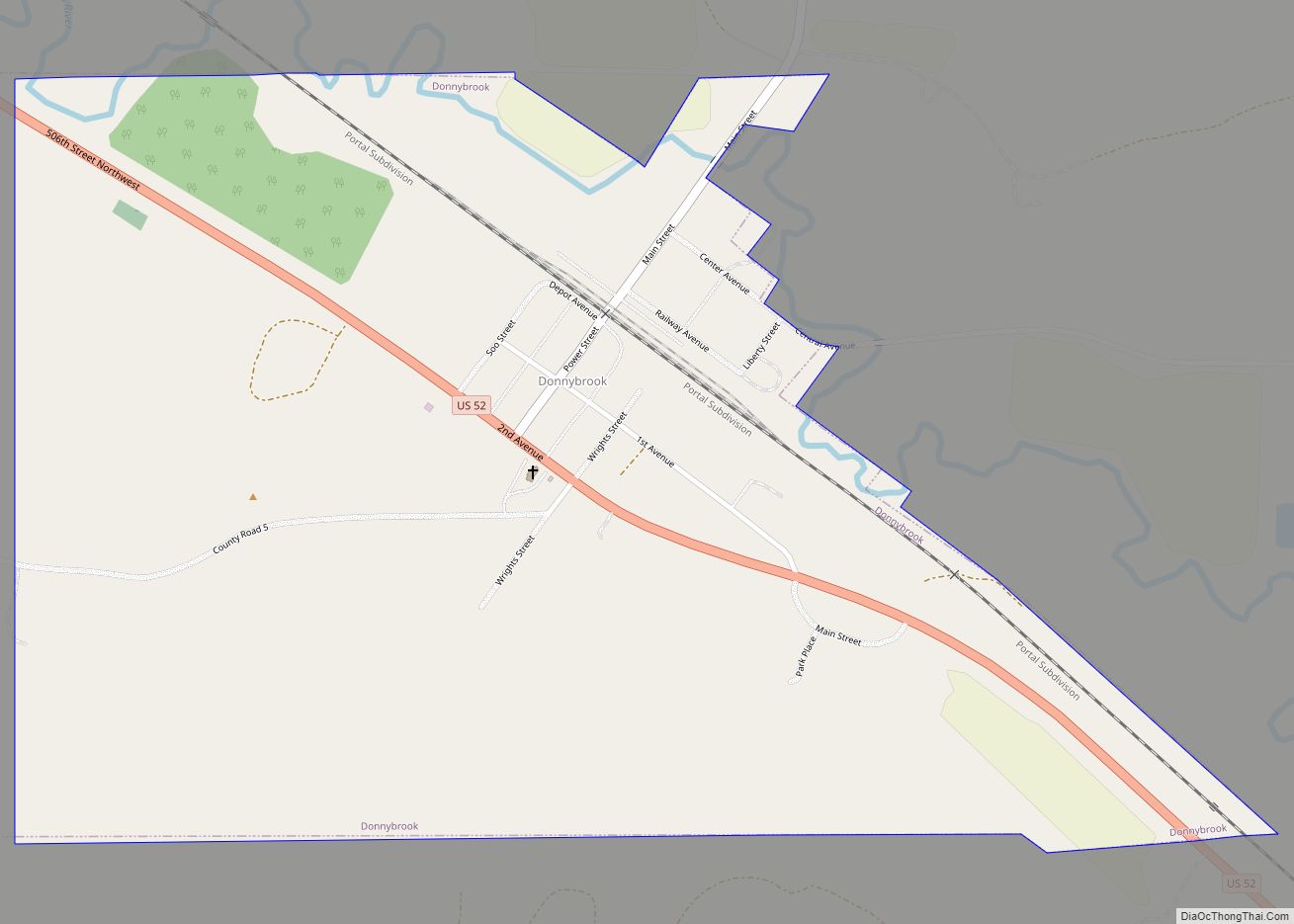
Donnybrook is a city in Ward County, North Dakota, United States. The population was 75 at the 2020 census. It is part of the Minot Micropolitan Statistical Area.
The first place named Donnybrook was founded in 1895 and named after Donnybrook Fair in Ireland. In 1897, the postmaster of this site changed the name to Goetz. The name Donnybrook was then reused in 1898 when a new town formed to the west of Goetz along the main line of the Soo Line Railroad.
| Name: | Donnybrook city |
|---|---|
| LSAD Code: | 25 |
| LSAD Description: | city (suffix) |
| State: | North Dakota |
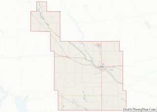
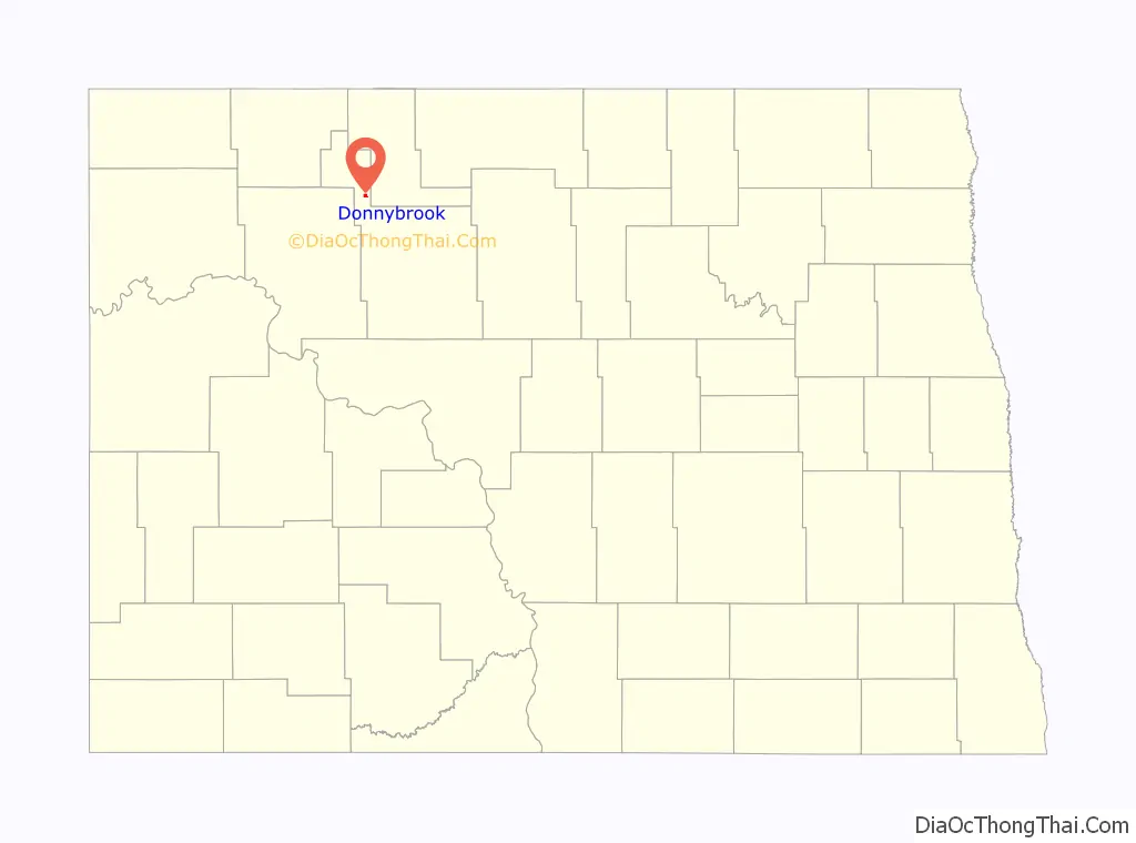
| County: | Ward County |
| Founded: | 1895 |
| Elevation: | 1,772 ft (540 m) |
| Total Area: | 0.68 sq mi (1.77 km²) |
| Land Area: | 0.68 sq mi (1.77 km²) |
| Water Area: | 0.00 sq mi (0.00 km²) |
| Total Population: | 75 |
| Population Density: | 109.97/sq mi (42.49/km²) |
| ZIP code: | 58734 |
| Area code: | 701 |
| FIPS code: | 3819900 |
| GNISfeature ID: | 1028703 |
Online Interactive Map
Click on ![]() to view map in "full screen" mode.
to view map in "full screen" mode.
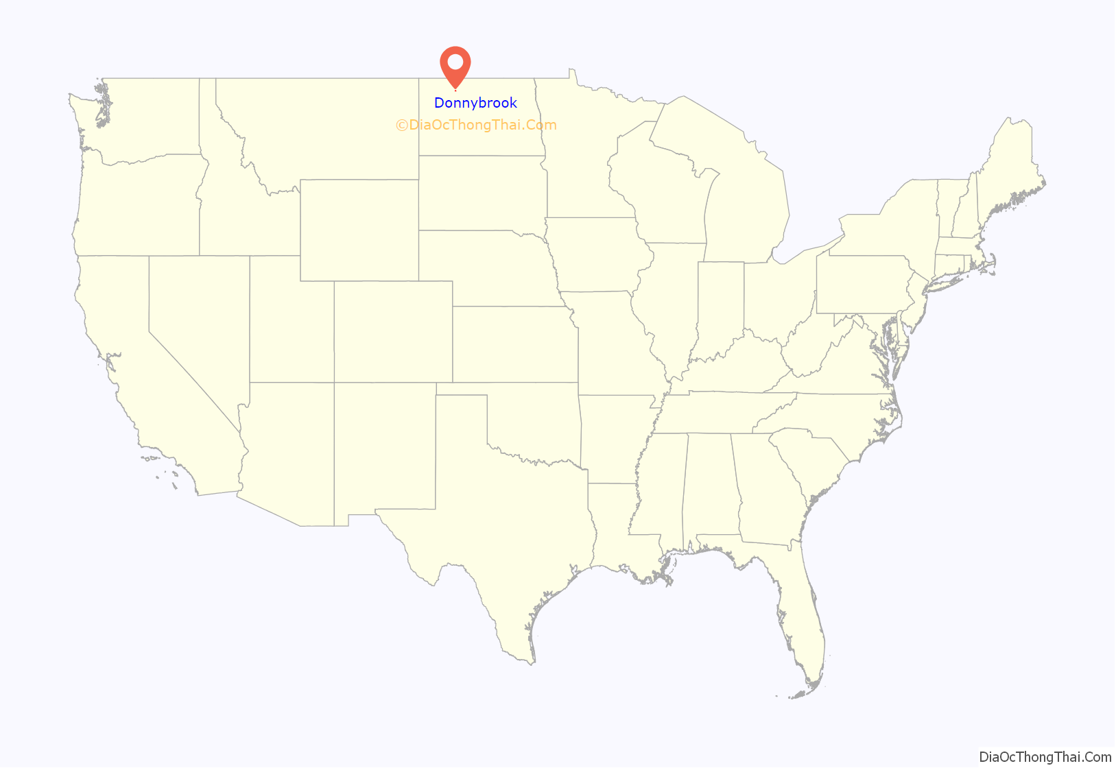
Donnybrook location map. Where is Donnybrook city?
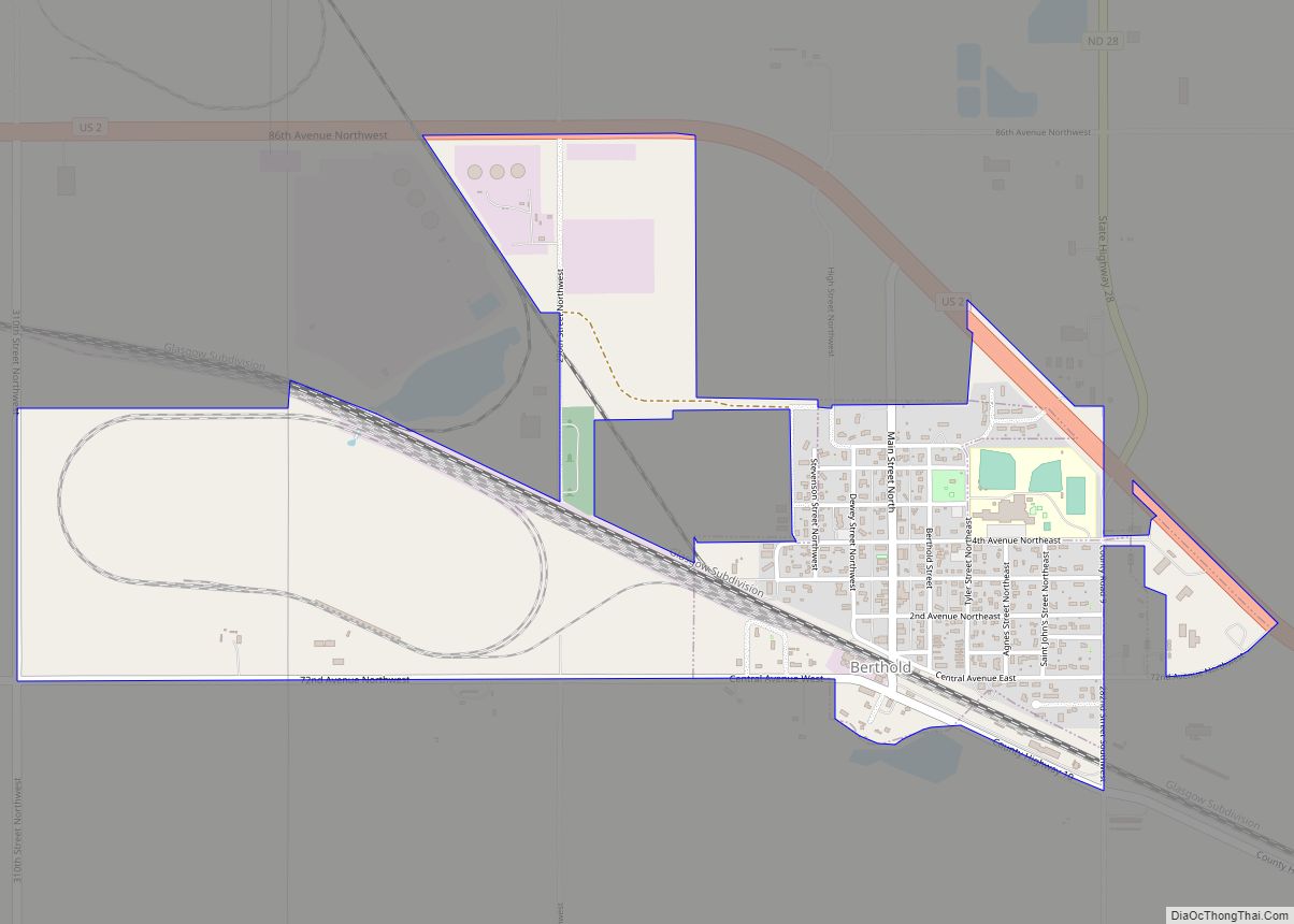
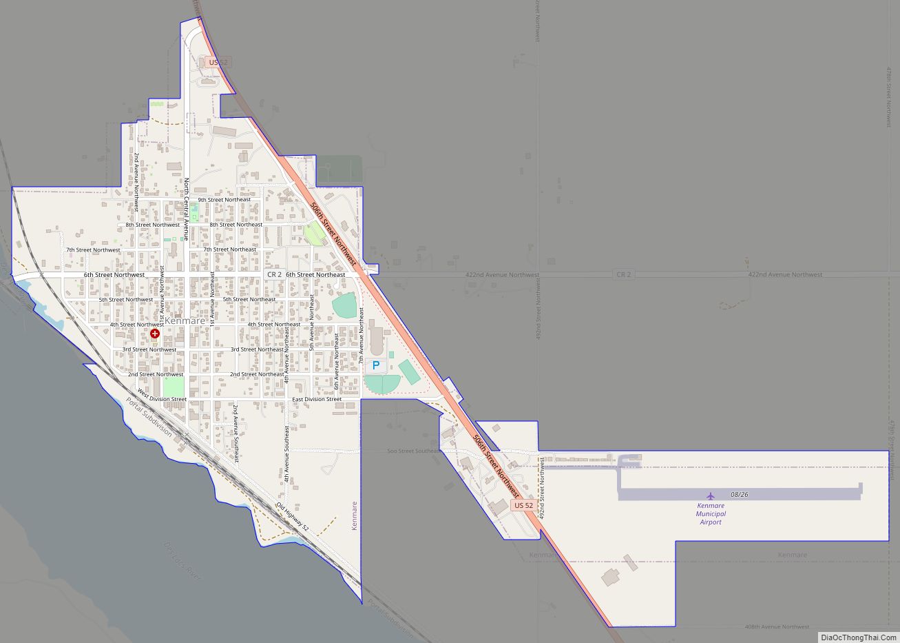
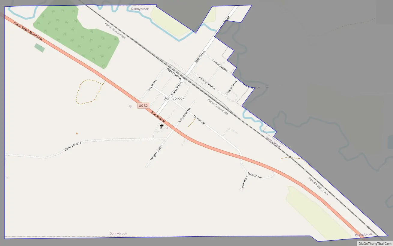
Donnybrook Road Map
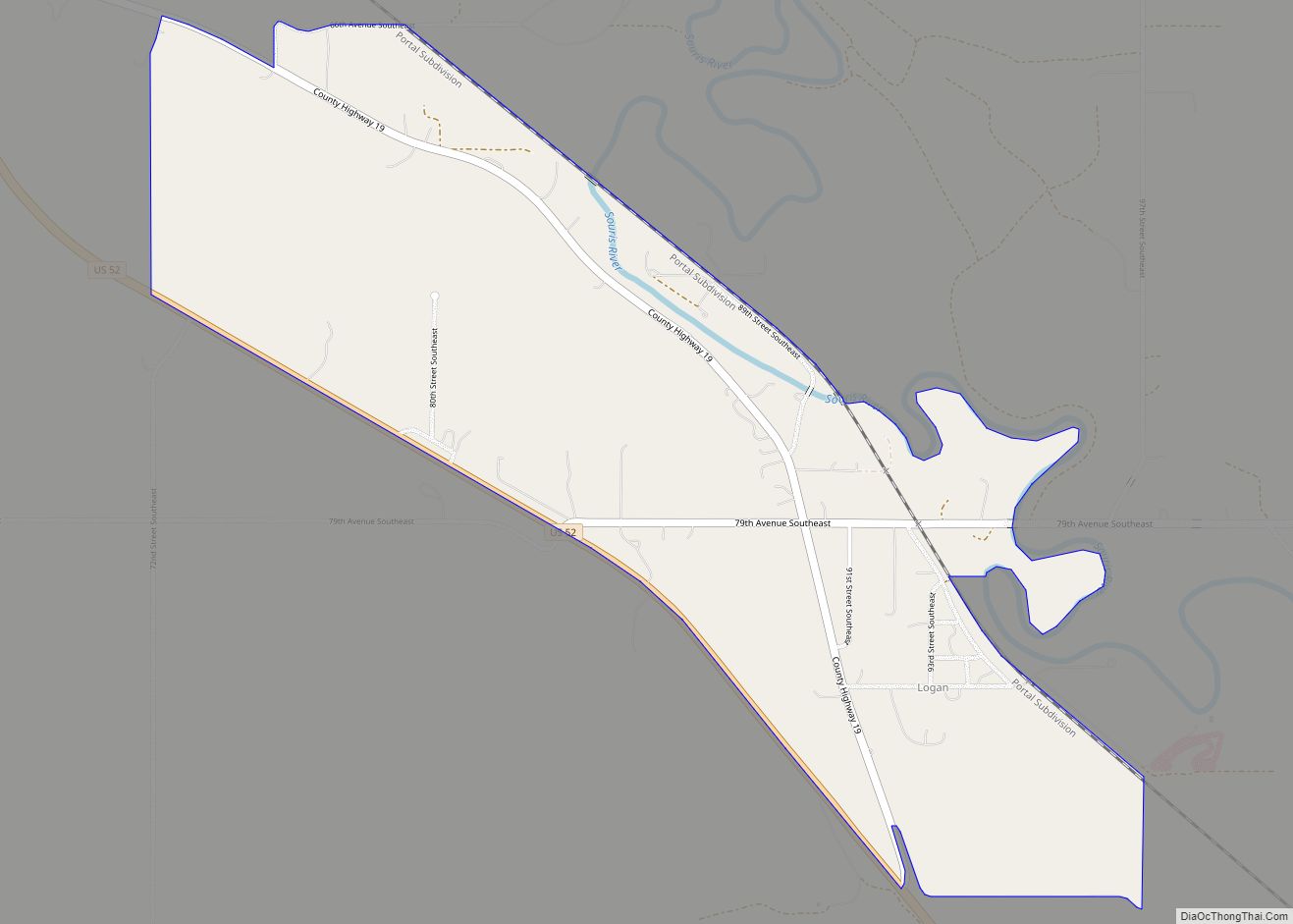
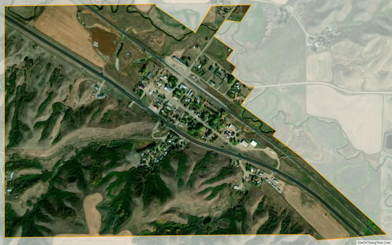
Donnybrook city Satellite Map
Geography
Donnybrook is located at 48°30′36″N 101°53′7″W / 48.51000°N 101.88528°W / 48.51000; -101.88528 (48.510014, -101.885410). According to the United States Census Bureau, the city has a total area of 0.70 square miles (1.81 km), all land.
See also
Map of North Dakota State and its subdivision:- Adams
- Barnes
- Benson
- Billings
- Bottineau
- Bowman
- Burke
- Burleigh
- Cass
- Cavalier
- Dickey
- Divide
- Dunn
- Eddy
- Emmons
- Foster
- Golden Valley
- Grand Forks
- Grant
- Griggs
- Hettinger
- Kidder
- Lamoure
- Logan
- McHenry
- McIntosh
- McKenzie
- McLean
- Mercer
- Morton
- Mountrail
- Nelson
- Oliver
- Pembina
- Pierce
- Ramsey
- Ransom
- Renville
- Richland
- Rolette
- Sargent
- Sheridan
- Sioux
- Slope
- Stark
- Steele
- Stutsman
- Towner
- Traill
- Walsh
- Ward
- Wells
- Williams
- Alabama
- Alaska
- Arizona
- Arkansas
- California
- Colorado
- Connecticut
- Delaware
- District of Columbia
- Florida
- Georgia
- Hawaii
- Idaho
- Illinois
- Indiana
- Iowa
- Kansas
- Kentucky
- Louisiana
- Maine
- Maryland
- Massachusetts
- Michigan
- Minnesota
- Mississippi
- Missouri
- Montana
- Nebraska
- Nevada
- New Hampshire
- New Jersey
- New Mexico
- New York
- North Carolina
- North Dakota
- Ohio
- Oklahoma
- Oregon
- Pennsylvania
- Rhode Island
- South Carolina
- South Dakota
- Tennessee
- Texas
- Utah
- Vermont
- Virginia
- Washington
- West Virginia
- Wisconsin
- Wyoming