Drayton is a city in Pembina County, North Dakota, United States. The population was 757 at the 2020 census. Drayton was founded in 1878.
| Name: | Drayton city |
|---|---|
| LSAD Code: | 25 |
| LSAD Description: | city (suffix) |
| State: | North Dakota |
| County: | Pembina County |
| Founded: | 1878 |
| Elevation: | 801 ft (244 m) |
| Total Area: | 0.66 sq mi (1.71 km²) |
| Land Area: | 0.66 sq mi (1.71 km²) |
| Water Area: | 0.00 sq mi (0.00 km²) |
| Total Population: | 757 |
| Population Density: | 1,150.46/sq mi (443.94/km²) |
| ZIP code: | 58225 |
| Area code: | 701 |
| FIPS code: | 3820340 |
| GNISfeature ID: | 1028722 |
| Website: | draytonnd.com |
Online Interactive Map
Click on ![]() to view map in "full screen" mode.
to view map in "full screen" mode.
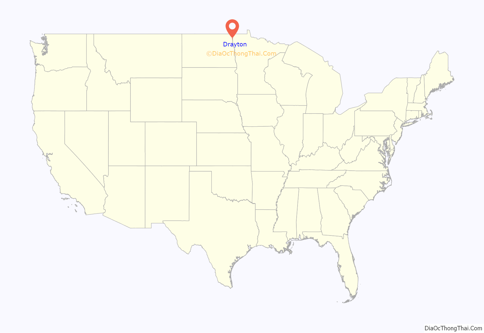
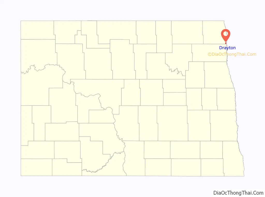
Drayton location map. Where is Drayton city?
History
Drayton was originally called Hastings Landing. It was given its present name by Canadian settlers from Drayton, Ontario. A drawbridge, built in anticipation of riverboat traffic returning to the upper Red River, was built in 1911 to connect Drayton to Minnesota. Because of low river levels the riverboats never materialized, with the result that the drawbridge never needed to be raised.
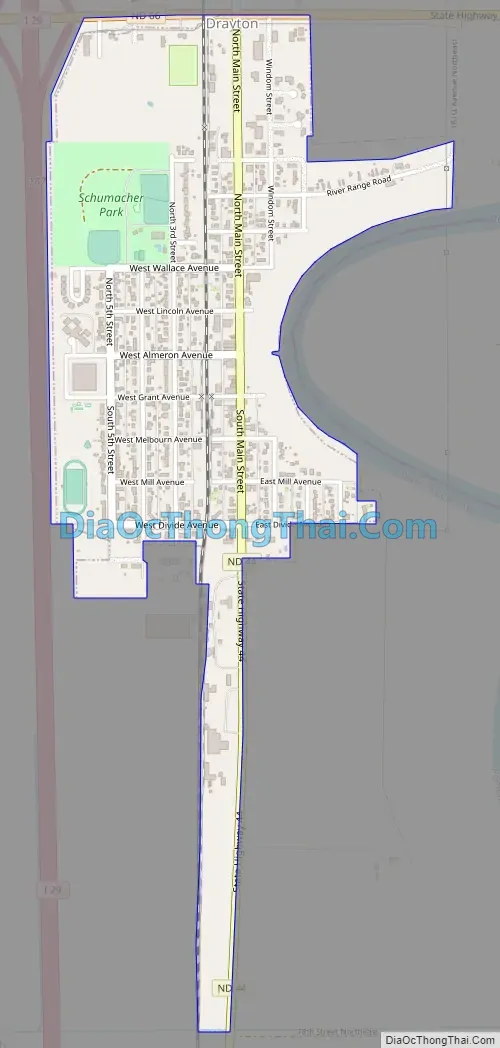
Drayton Road Map
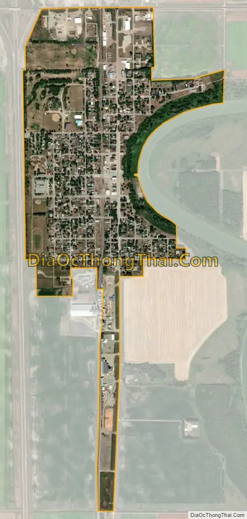
Drayton city Satellite Map
Geography
Drayton is located at 48°33′40″N 97°10′46″W / 48.56111°N 97.17944°W / 48.56111; -97.17944 (48.561091, -97.179414).
According to the United States Census Bureau, the city has a total area of 0.65 square miles (1.68 km), all land.
See also
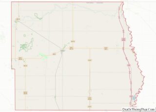
Map of North Dakota State and its subdivision:- Adams
- Barnes
- Benson
- Billings
- Bottineau
- Bowman
- Burke
- Burleigh
- Cass
- Cavalier
- Dickey
- Divide
- Dunn
- Eddy
- Emmons
- Foster
- Golden Valley
- Grand Forks
- Grant
- Griggs
- Hettinger
- Kidder
- Lamoure
- Logan
- McHenry
- McIntosh
- McKenzie
- McLean
- Mercer
- Morton
- Mountrail
- Nelson
- Oliver
- Pembina
- Pierce
- Ramsey
- Ransom
- Renville
- Richland
- Rolette
- Sargent
- Sheridan
- Sioux
- Slope
- Stark
- Steele
- Stutsman
- Towner
- Traill
- Walsh
- Ward
- Wells
- Williams
- Alabama
- Alaska
- Arizona
- Arkansas
- California
- Colorado
- Connecticut
- Delaware
- District of Columbia
- Florida
- Georgia
- Hawaii
- Idaho
- Illinois
- Indiana
- Iowa
- Kansas
- Kentucky
- Louisiana
- Maine
- Maryland
- Massachusetts
- Michigan
- Minnesota
- Mississippi
- Missouri
- Montana
- Nebraska
- Nevada
- New Hampshire
- New Jersey
- New Mexico
- New York
- North Carolina
- North Dakota
- Ohio
- Oklahoma
- Oregon
- Pennsylvania
- Rhode Island
- South Carolina
- South Dakota
- Tennessee
- Texas
- Utah
- Vermont
- Virginia
- Washington
- West Virginia
- Wisconsin
- Wyoming