Oakes is the most populous city in Dickey County, North Dakota, United States. The population was 1,798 at the 2020 census. Oakes was founded in 1886.
| Name: | Oakes city |
|---|---|
| LSAD Code: | 25 |
| LSAD Description: | city (suffix) |
| State: | North Dakota |
| County: | Dickey County |
| Founded: | 1886 |
| Elevation: | 1,312 ft (400 m) |
| Total Area: | 1.56 sq mi (4.05 km²) |
| Land Area: | 1.56 sq mi (4.05 km²) |
| Water Area: | 0.00 sq mi (0.00 km²) |
| Total Population: | 1,798 |
| Population Density: | 1,149.62/sq mi (443.73/km²) |
| ZIP code: | 58474 |
| Area code: | 701 |
| FIPS code: | 3858740 |
| GNISfeature ID: | 1030535 |
| Website: | oakesnd.com |
Online Interactive Map
Click on ![]() to view map in "full screen" mode.
to view map in "full screen" mode.
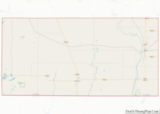
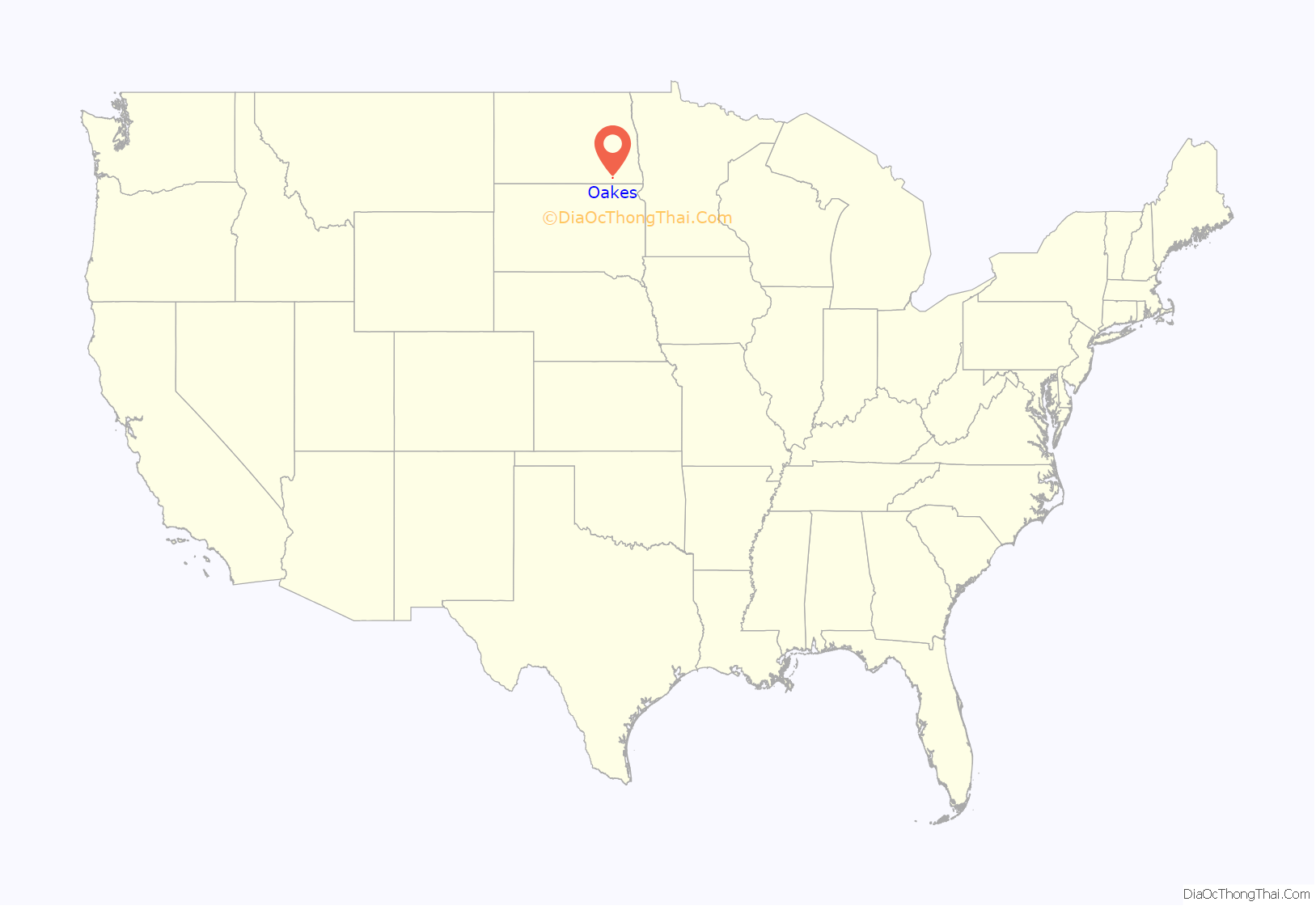
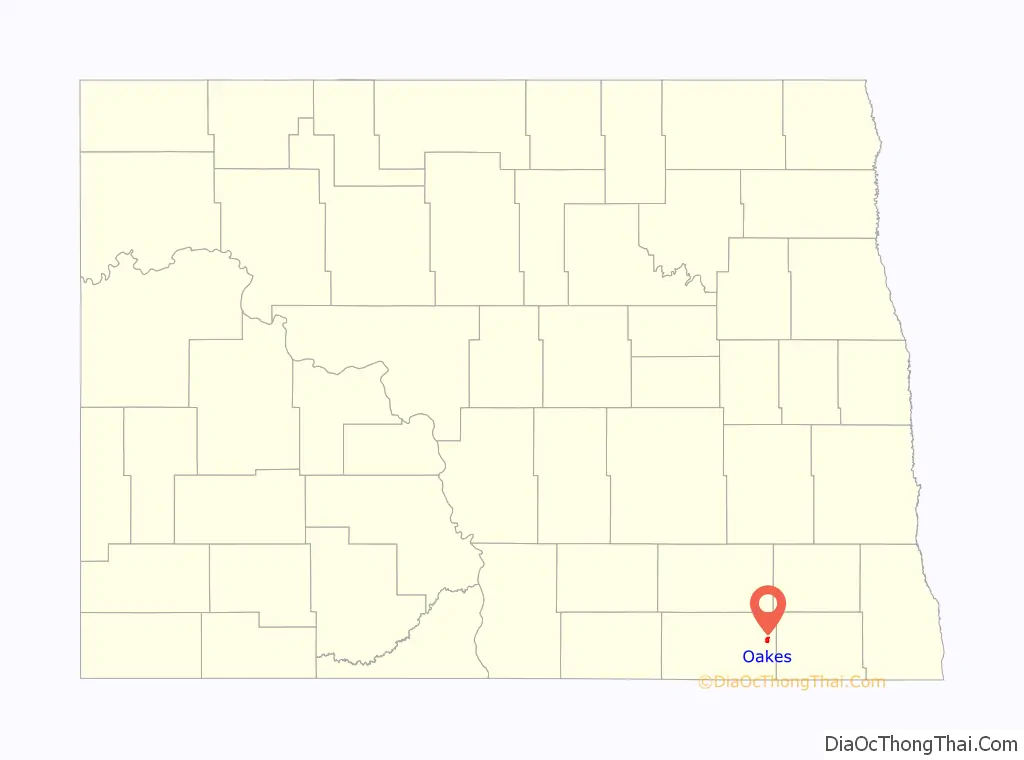
Oakes location map. Where is Oakes city?
History
Oakes was laid out in 1886. It was named for Thomas F. Oakes, a railroad official. A post office has been in operation in Oakes since 1886. The city was incorporated in 1888.
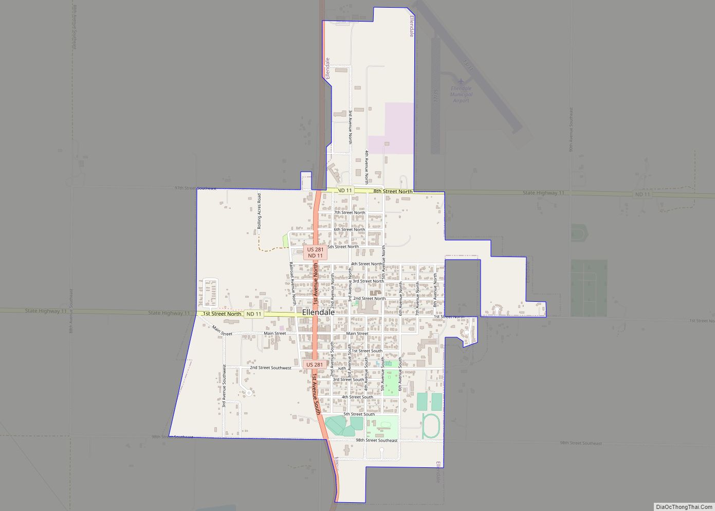
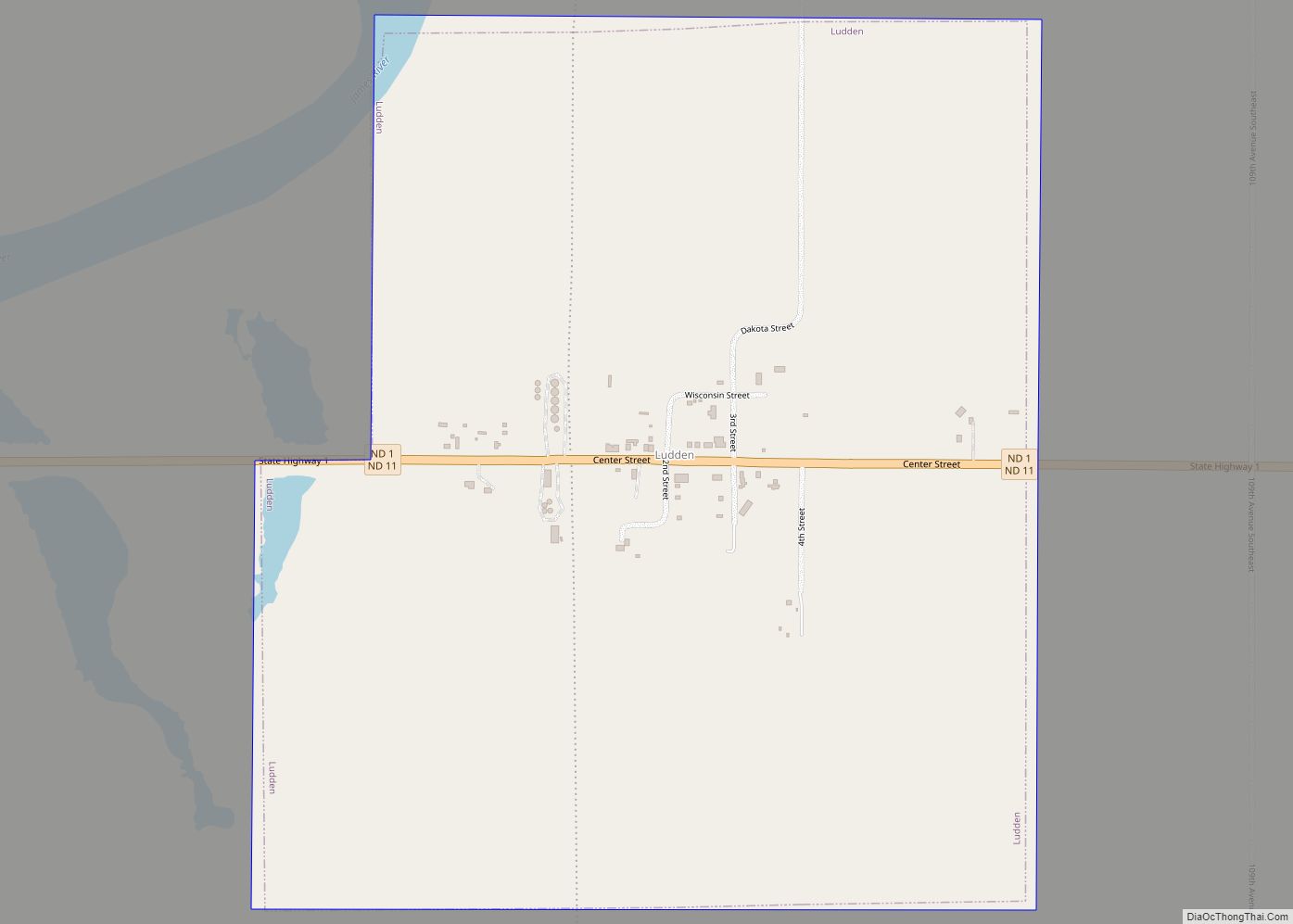
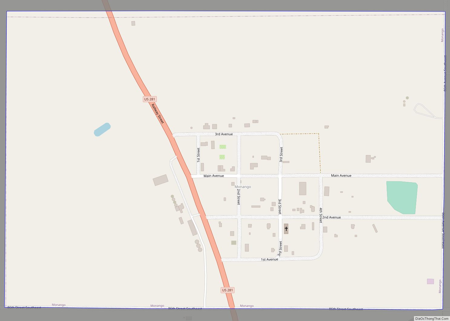
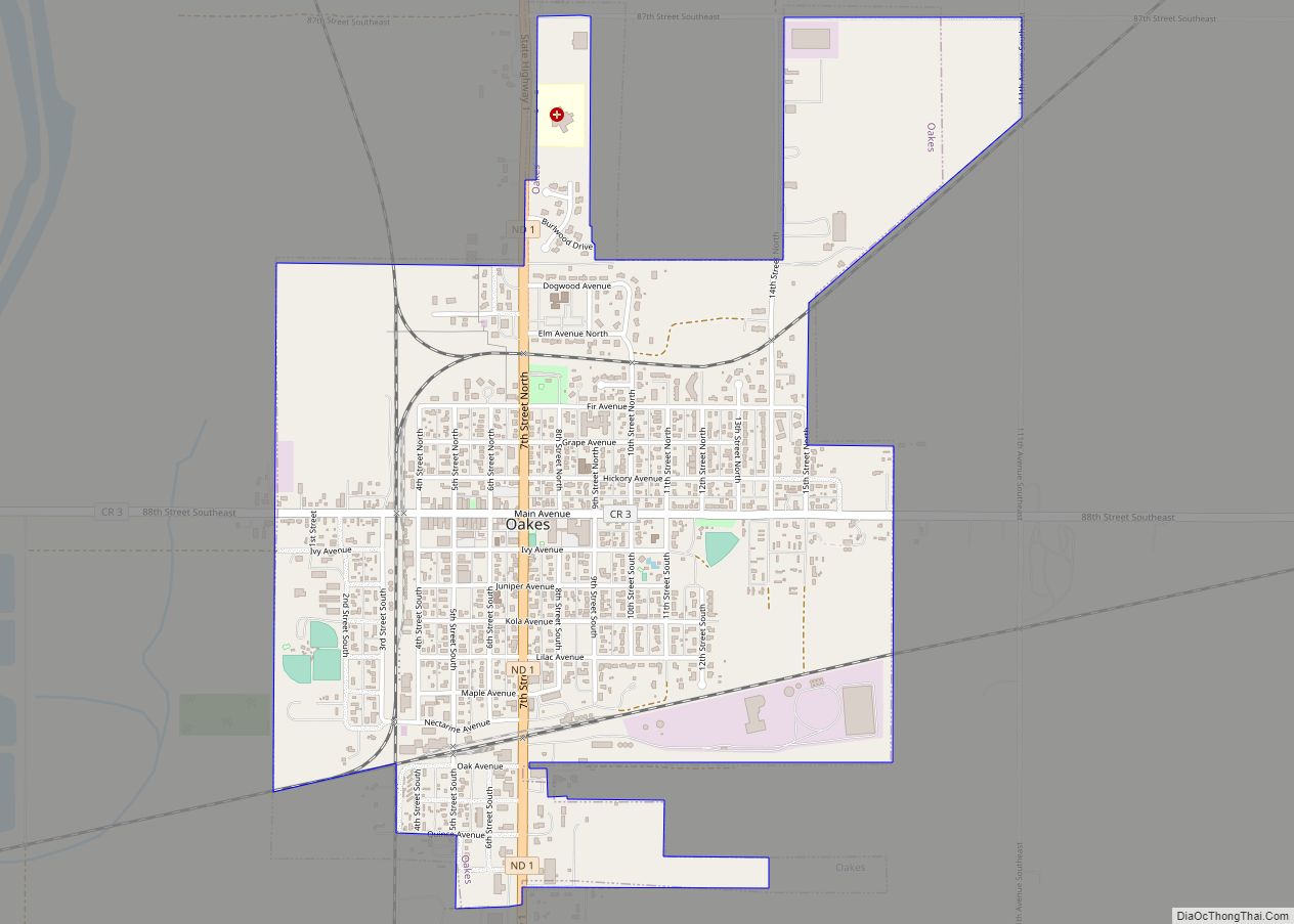
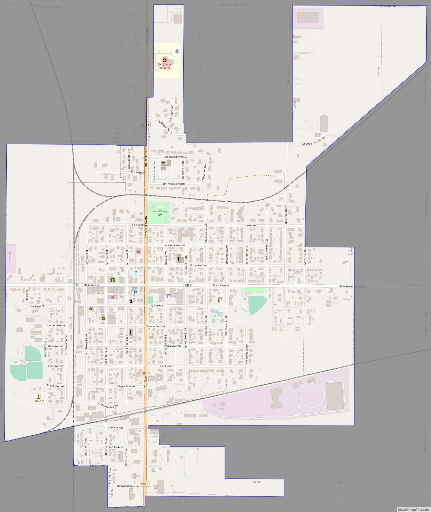
Oakes Road Map
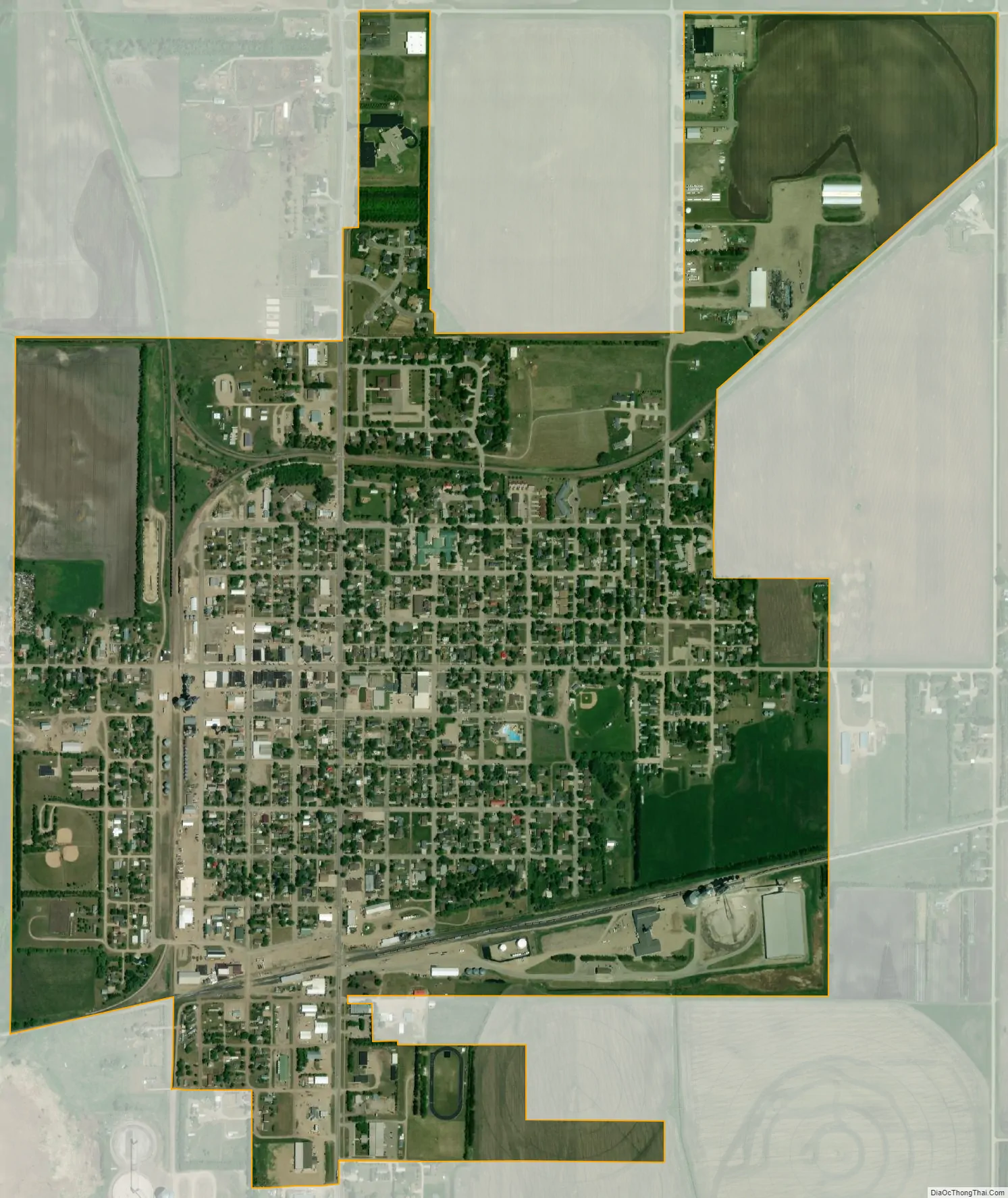
Oakes city Satellite Map
Geography
Oakes is located in southeastern North Dakota at 46°8′14″N 98°5′23″W / 46.13722°N 98.08972°W / 46.13722; -98.08972 (46.137249, −98.089686). It sits approximately one mile east of the James river and is the meeting place of several rail lines. Because of its rail access, Oakes is home to several major grain elevators that handle large volumes of grain, primarily corn.
According to the United States Census Bureau, the city has a total area of 1.56 square miles (4.04 km), all land.
See also
Map of North Dakota State and its subdivision:- Adams
- Barnes
- Benson
- Billings
- Bottineau
- Bowman
- Burke
- Burleigh
- Cass
- Cavalier
- Dickey
- Divide
- Dunn
- Eddy
- Emmons
- Foster
- Golden Valley
- Grand Forks
- Grant
- Griggs
- Hettinger
- Kidder
- Lamoure
- Logan
- McHenry
- McIntosh
- McKenzie
- McLean
- Mercer
- Morton
- Mountrail
- Nelson
- Oliver
- Pembina
- Pierce
- Ramsey
- Ransom
- Renville
- Richland
- Rolette
- Sargent
- Sheridan
- Sioux
- Slope
- Stark
- Steele
- Stutsman
- Towner
- Traill
- Walsh
- Ward
- Wells
- Williams
- Alabama
- Alaska
- Arizona
- Arkansas
- California
- Colorado
- Connecticut
- Delaware
- District of Columbia
- Florida
- Georgia
- Hawaii
- Idaho
- Illinois
- Indiana
- Iowa
- Kansas
- Kentucky
- Louisiana
- Maine
- Maryland
- Massachusetts
- Michigan
- Minnesota
- Mississippi
- Missouri
- Montana
- Nebraska
- Nevada
- New Hampshire
- New Jersey
- New Mexico
- New York
- North Carolina
- North Dakota
- Ohio
- Oklahoma
- Oregon
- Pennsylvania
- Rhode Island
- South Carolina
- South Dakota
- Tennessee
- Texas
- Utah
- Vermont
- Virginia
- Washington
- West Virginia
- Wisconsin
- Wyoming