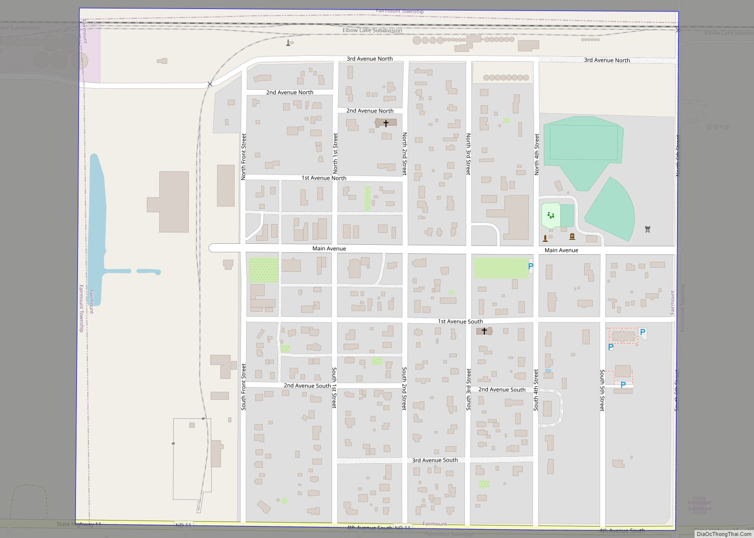
Fairmount is a city in Richland County, North Dakota, United States. The population was 343 at the 2020 census. Fairmount was founded in 1884. It is part of the Wahpeton, ND–MN Micropolitan Statistical Area.
| Name: | Fairmount city |
|---|---|
| LSAD Code: | 25 |
| LSAD Description: | city (suffix) |
| State: | North Dakota |
| County: | Richland County |
| Founded: | 1884 |
| Elevation: | 981 ft (299 m) |
| Total Area: | 0.33 sq mi (0.86 km²) |
| Land Area: | 0.33 sq mi (0.86 km²) |
| Water Area: | 0.00 sq mi (0.00 km²) |
| Total Population: | 343 |
| Population Density: | 1,036.25/sq mi (399.74/km²) |
| ZIP code: | 58030 |
| Area code: | 701 |
| FIPS code: | 3825300 |
| GNISfeature ID: | 1036029 |
Online Interactive Map
Click on ![]() to view map in "full screen" mode.
to view map in "full screen" mode.
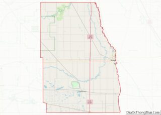
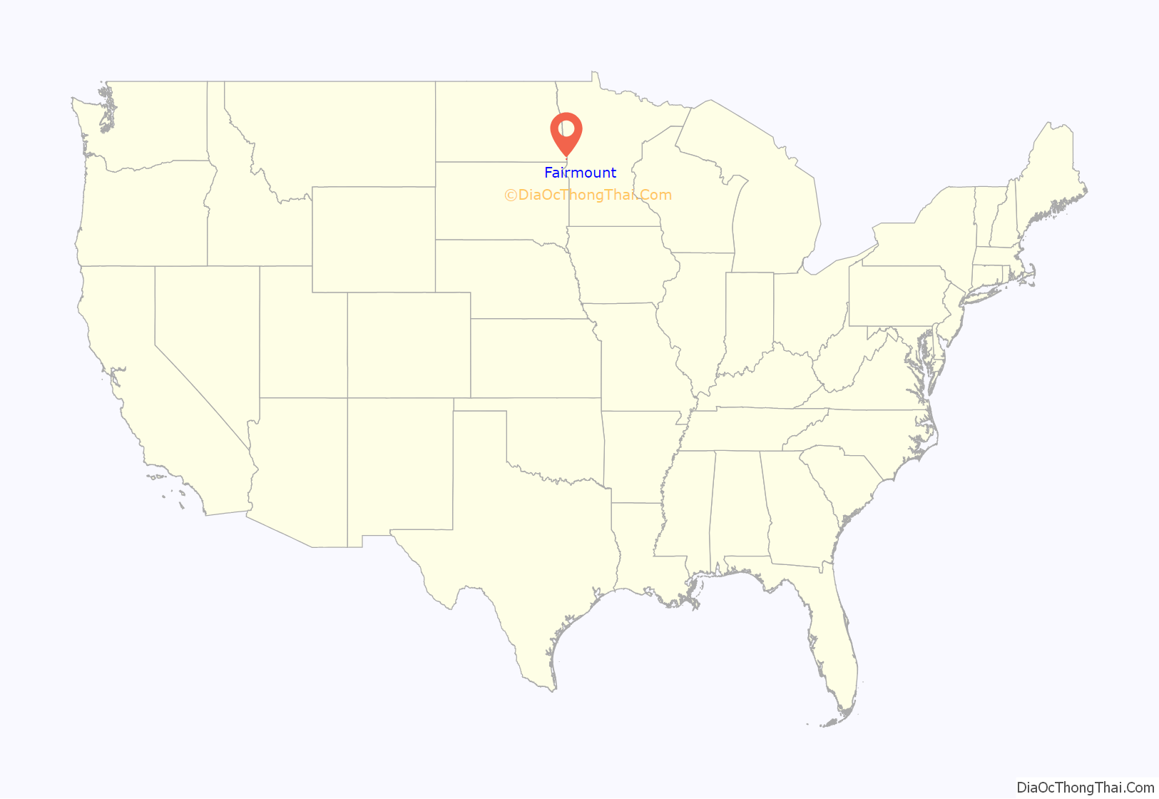
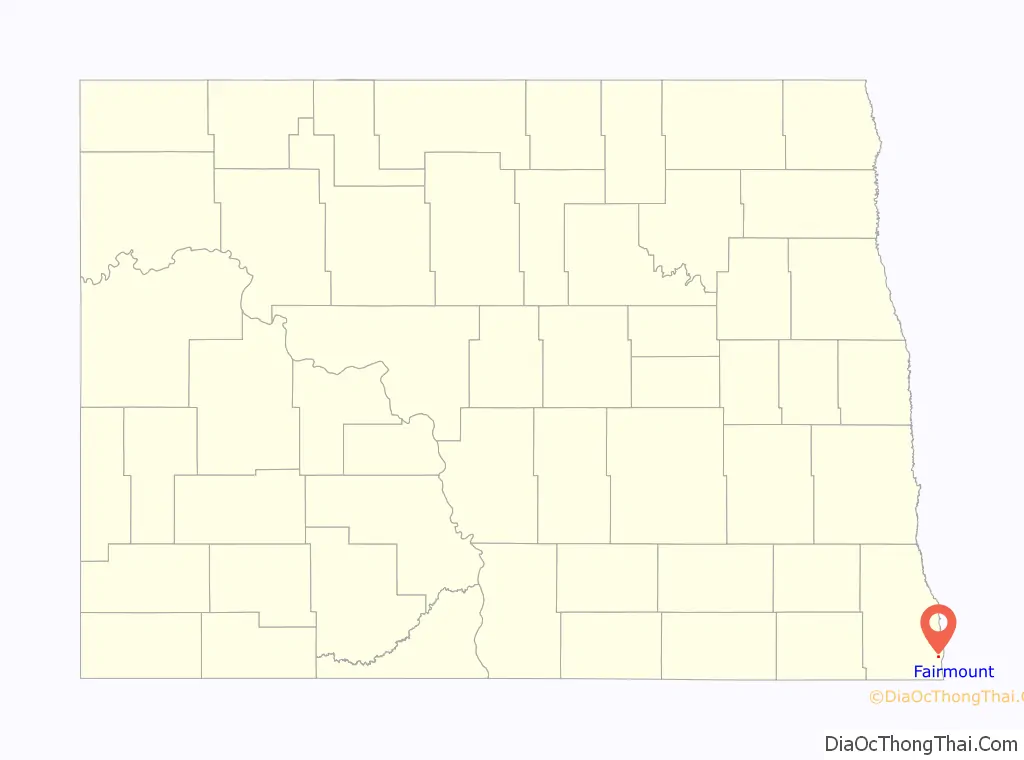
Fairmount location map. Where is Fairmount city?
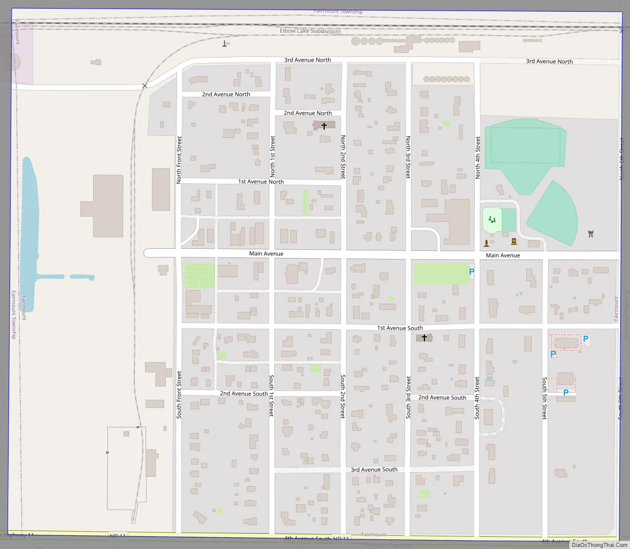
Fairmount Road Map
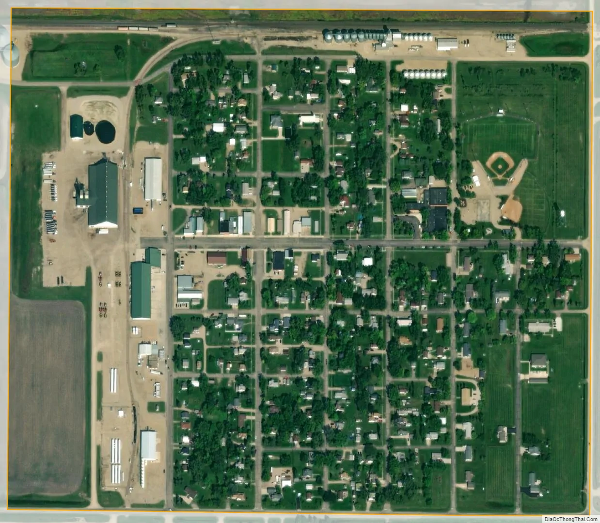
Fairmount city Satellite Map
Geography
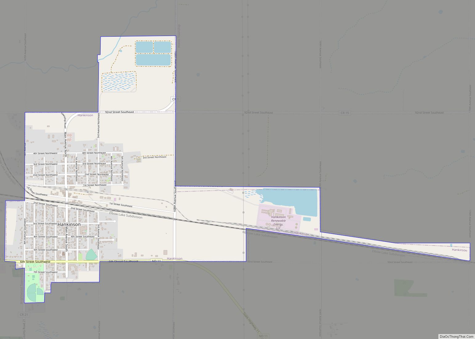
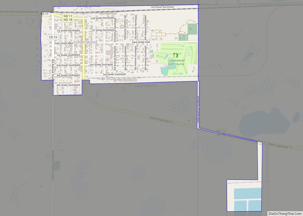
Fairmount is located at 46°3′16″N 96°36′6″W / 46.05444°N 96.60167°W / 46.05444; -96.60167 (46.054393, -96.601642) and sits in southeastern North Dakota on North Dakota Highway 11. It is approximately four miles west of the junction of Minnesota Highway 55 and U.S. Route 75. Fairmount is six miles west of Tenney, Minnesota, 63 miles south of Fargo, and 176 miles northwest of Minneapolis, Minnesota. The village is also 15 miles East of Hankinson and 15 miles south of Wahpeton.
According to the United States Census Bureau, the city has a total area of 0.32 square miles (0.83 km), all land.
See also
Map of North Dakota State and its subdivision:- Adams
- Barnes
- Benson
- Billings
- Bottineau
- Bowman
- Burke
- Burleigh
- Cass
- Cavalier
- Dickey
- Divide
- Dunn
- Eddy
- Emmons
- Foster
- Golden Valley
- Grand Forks
- Grant
- Griggs
- Hettinger
- Kidder
- Lamoure
- Logan
- McHenry
- McIntosh
- McKenzie
- McLean
- Mercer
- Morton
- Mountrail
- Nelson
- Oliver
- Pembina
- Pierce
- Ramsey
- Ransom
- Renville
- Richland
- Rolette
- Sargent
- Sheridan
- Sioux
- Slope
- Stark
- Steele
- Stutsman
- Towner
- Traill
- Walsh
- Ward
- Wells
- Williams
- Alabama
- Alaska
- Arizona
- Arkansas
- California
- Colorado
- Connecticut
- Delaware
- District of Columbia
- Florida
- Georgia
- Hawaii
- Idaho
- Illinois
- Indiana
- Iowa
- Kansas
- Kentucky
- Louisiana
- Maine
- Maryland
- Massachusetts
- Michigan
- Minnesota
- Mississippi
- Missouri
- Montana
- Nebraska
- Nevada
- New Hampshire
- New Jersey
- New Mexico
- New York
- North Carolina
- North Dakota
- Ohio
- Oklahoma
- Oregon
- Pennsylvania
- Rhode Island
- South Carolina
- South Dakota
- Tennessee
- Texas
- Utah
- Vermont
- Virginia
- Washington
- West Virginia
- Wisconsin
- Wyoming