Forbes is a city in Dickey County, North Dakota, United States. The population was 36 at the 2020 census.
| Name: | Forbes city |
|---|---|
| LSAD Code: | 25 |
| LSAD Description: | city (suffix) |
| State: | North Dakota |
| County: | Dickey County |
| Founded: | 1905 |
| Elevation: | 1,562 ft (476 m) |
| Total Area: | 0.24 sq mi (0.63 km²) |
| Land Area: | 0.24 sq mi (0.63 km²) |
| Water Area: | 0.00 sq mi (0.00 km²) |
| Total Population: | 36 |
| Population Density: | 148.76/sq mi (57.42/km²) |
| ZIP code: | 58439 |
| Area code: | 701 |
| FIPS code: | 3826980 |
| GNISfeature ID: | 1028998 |
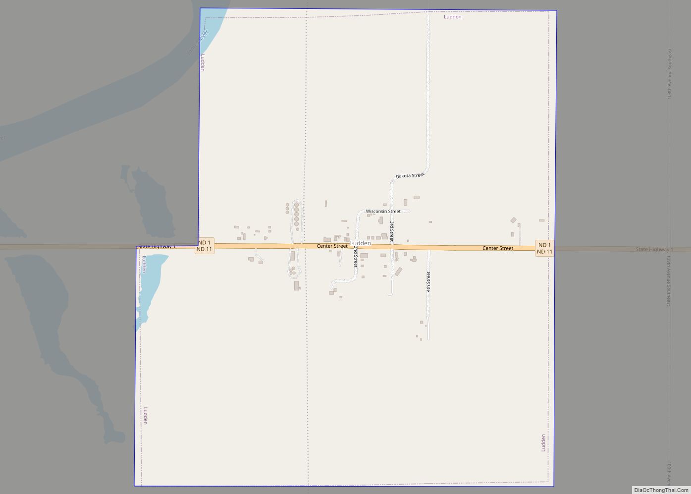
Online Interactive Map
Click on ![]() to view map in "full screen" mode.
to view map in "full screen" mode.
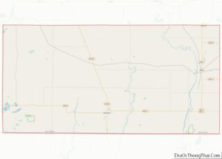
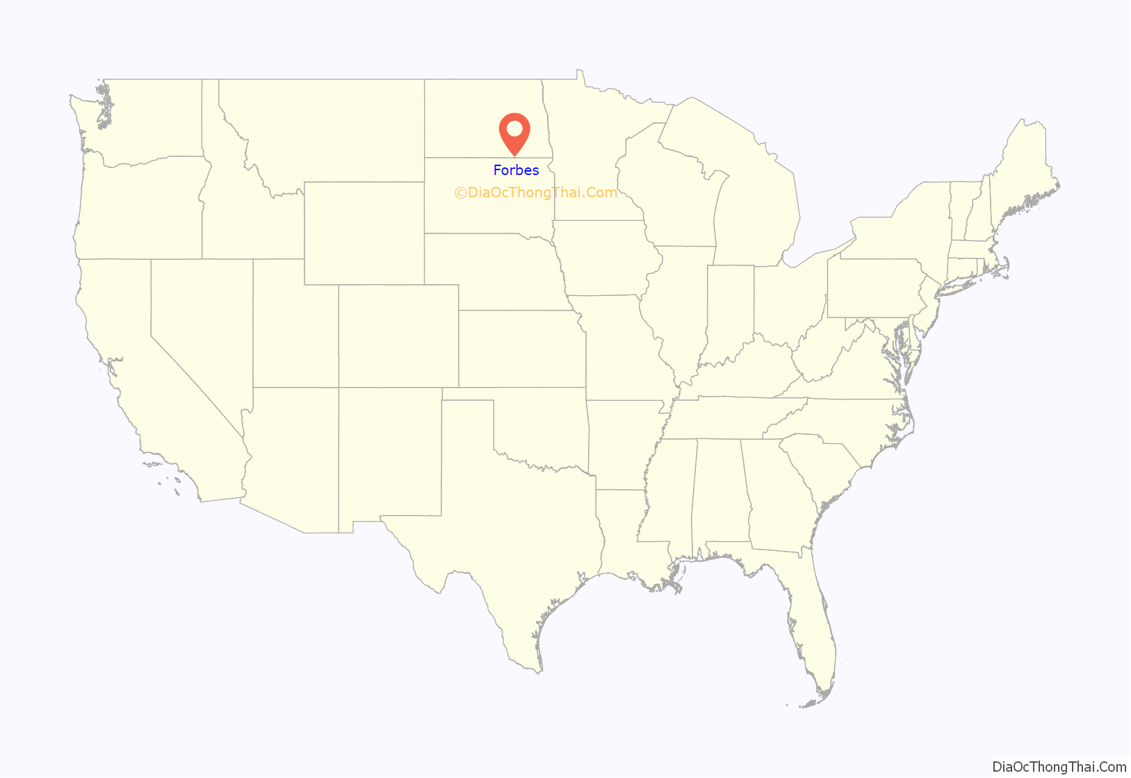
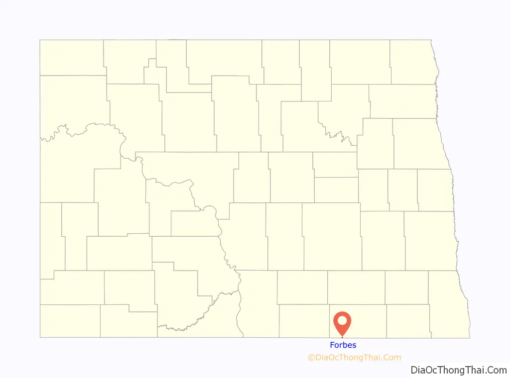
Forbes location map. Where is Forbes city?
History
Forbes was founded in 1905. The town was named after Mr. S. F. Forbes, a railroad agent and town merchant. Former Governor and US Senator John Hoeven spent time there at the Hoeven Ranch owned by his grandparents. Navy Rear Admiral Stuart Munsch’s father taught school at the Forbes Public School. Senator Tim Flakoll (R), Senator Don Moore (R) and Rep. Jim Brokaw (D) all are, or continue to live in Forbes. The People’s Store in Forbes is the source of the World-famous Forbes Sausage.
On April 23, 2019 Forbes earned “Town of The Week” from KVRR TV when it received 1,406 online votes.
In 1924, its first year, the Forbes School District graduated seven students. Their last graduating class was in 1987 when five students graduated.
Thousands of people attended the Forbes Centennial in July 2005. Special guests included Governor John Hoeven and his father Jack as well as North Dakota Attorney General Wayne Stenehjem.
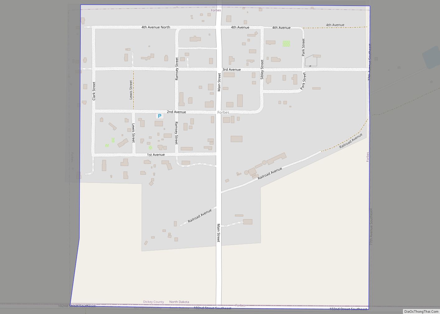
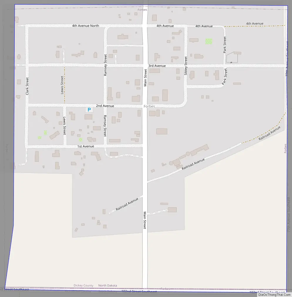
Forbes Road Map
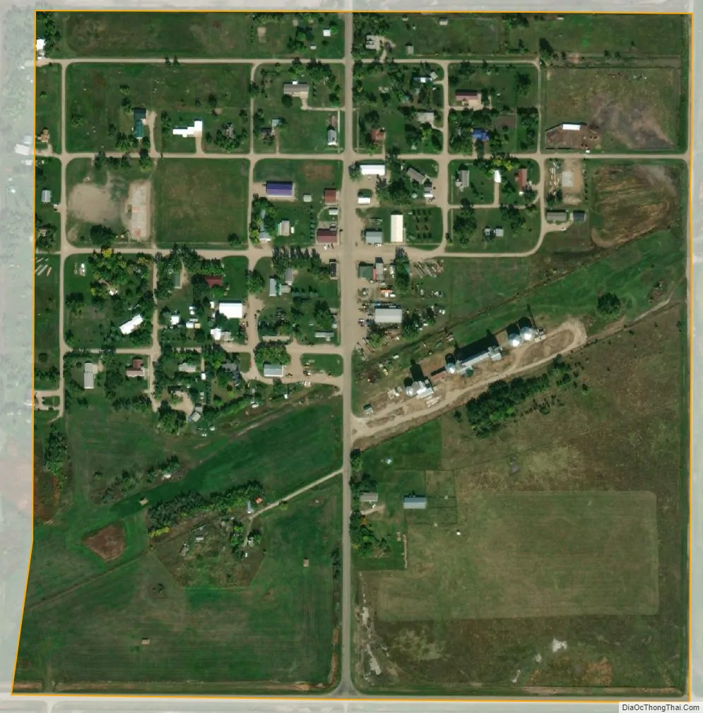
Forbes city Satellite Map
Geography
Forbes is located on the North Dakota – South Dakota border at 45°56′39″N 98°46′59″W / 45.94417°N 98.78306°W / 45.94417; -98.78306 (45.944070, -98.783134).
According to the United States Census Bureau, the city has a total area of 0.25 square miles (0.65 km), all land.
See also
Map of North Dakota State and its subdivision:- Adams
- Barnes
- Benson
- Billings
- Bottineau
- Bowman
- Burke
- Burleigh
- Cass
- Cavalier
- Dickey
- Divide
- Dunn
- Eddy
- Emmons
- Foster
- Golden Valley
- Grand Forks
- Grant
- Griggs
- Hettinger
- Kidder
- Lamoure
- Logan
- McHenry
- McIntosh
- McKenzie
- McLean
- Mercer
- Morton
- Mountrail
- Nelson
- Oliver
- Pembina
- Pierce
- Ramsey
- Ransom
- Renville
- Richland
- Rolette
- Sargent
- Sheridan
- Sioux
- Slope
- Stark
- Steele
- Stutsman
- Towner
- Traill
- Walsh
- Ward
- Wells
- Williams
- Alabama
- Alaska
- Arizona
- Arkansas
- California
- Colorado
- Connecticut
- Delaware
- District of Columbia
- Florida
- Georgia
- Hawaii
- Idaho
- Illinois
- Indiana
- Iowa
- Kansas
- Kentucky
- Louisiana
- Maine
- Maryland
- Massachusetts
- Michigan
- Minnesota
- Mississippi
- Missouri
- Montana
- Nebraska
- Nevada
- New Hampshire
- New Jersey
- New Mexico
- New York
- North Carolina
- North Dakota
- Ohio
- Oklahoma
- Oregon
- Pennsylvania
- Rhode Island
- South Carolina
- South Dakota
- Tennessee
- Texas
- Utah
- Vermont
- Virginia
- Washington
- West Virginia
- Wisconsin
- Wyoming