Fullerton is a town in Dickey County, North Dakota, United States. The population was 62 at the 2020 census.
| Name: | Fullerton city |
|---|---|
| LSAD Code: | 25 |
| LSAD Description: | city (suffix) |
| State: | North Dakota |
| County: | Dickey County |
| Founded: | 1887 |
| Elevation: | 1,444 ft (440 m) |
| Total Area: | 0.39 sq mi (1.01 km²) |
| Land Area: | 0.39 sq mi (1.01 km²) |
| Water Area: | 0.00 sq mi (0.00 km²) |
| Total Population: | 62 |
| Population Density: | 158.97/sq mi (61.38/km²) |
| ZIP code: | 58441 |
| Area code: | 701 |
| FIPS code: | 3828780 |
| GNISfeature ID: | 1029067 |
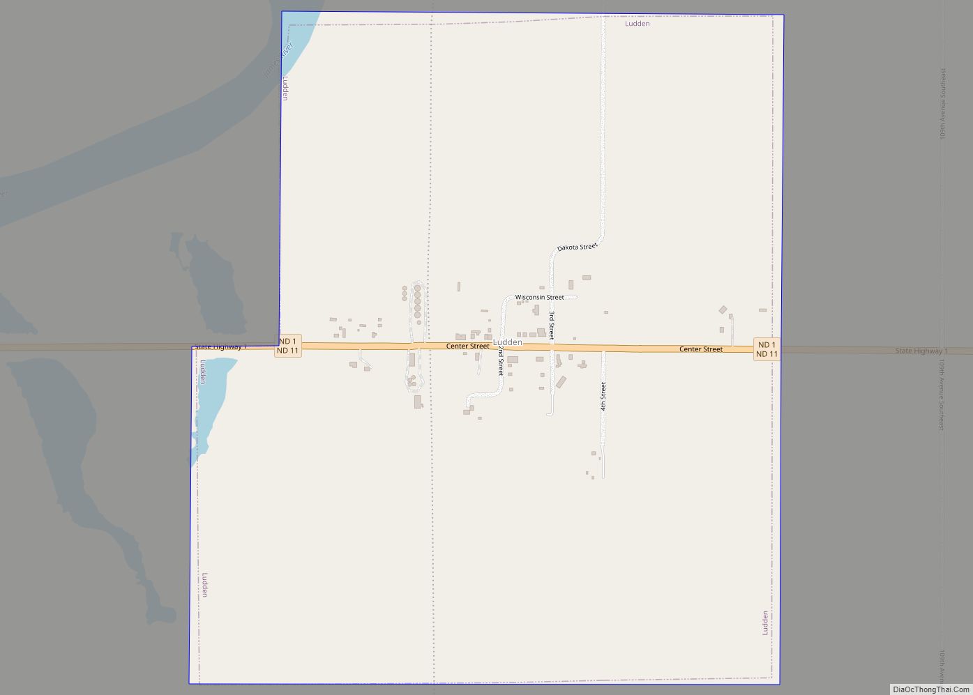
Online Interactive Map
Click on ![]() to view map in "full screen" mode.
to view map in "full screen" mode.
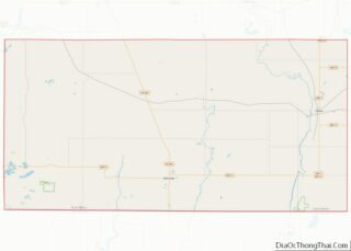
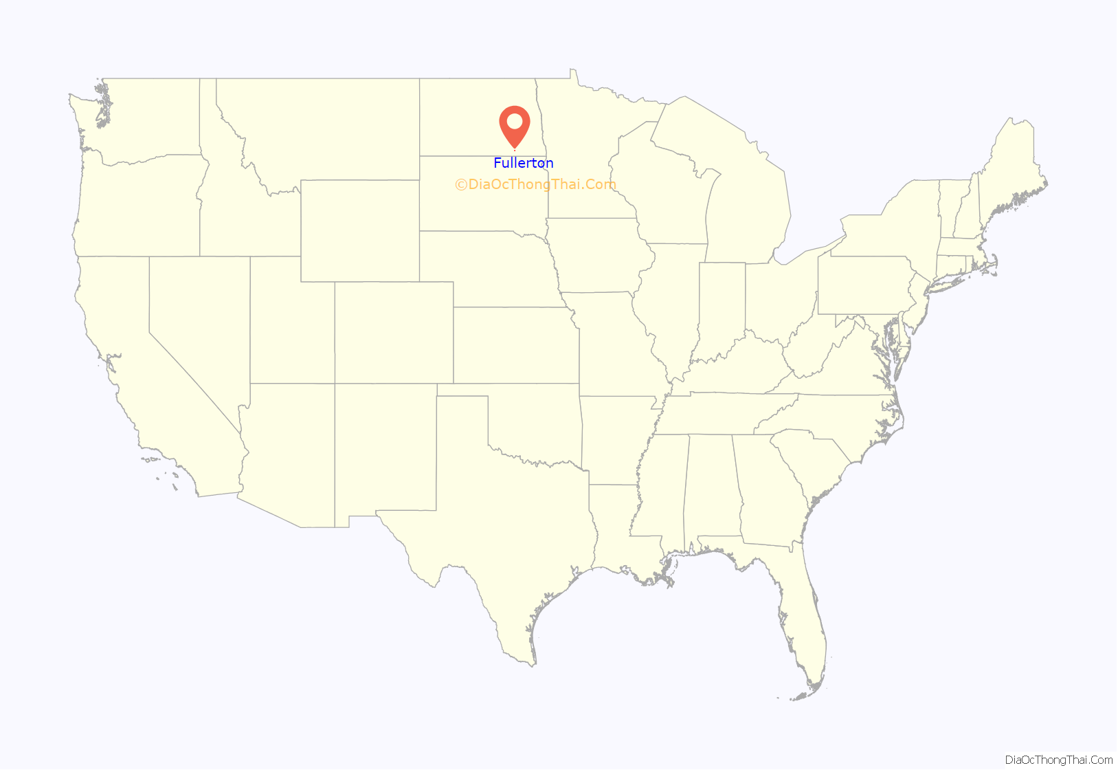
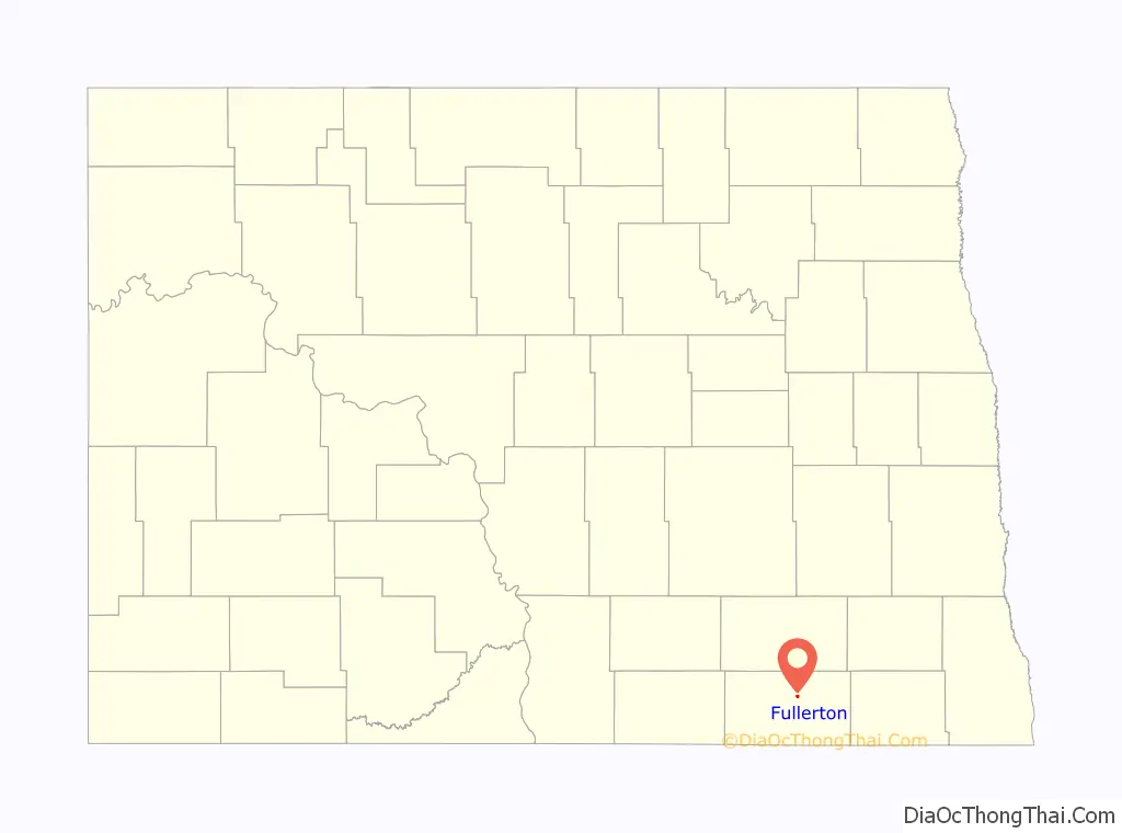
Fullerton location map. Where is Fullerton city?
History
The city was named after Grand Rapids, Michigan lawyer Edward Philo Fuller (1820–1866). In the 1880s, Edward Fuller was a major investor in the Dickey County land acquisitions with his daughter and son-in-law, Sofia (Fuller) Sweet (1854–1923) and her husband, Grand Rapids mayor Edwin Forrest Sweet (1847–1935). Sweet Ranch was located just to the southwest of what would later become the town of Fullerton.
In 1887, Fullerton’s original town plots were surveyed and the Soo Line Railroad through the town site was completed in September 1887. A post office was established at Fullerton in 1888, and remained in operation until 1989.
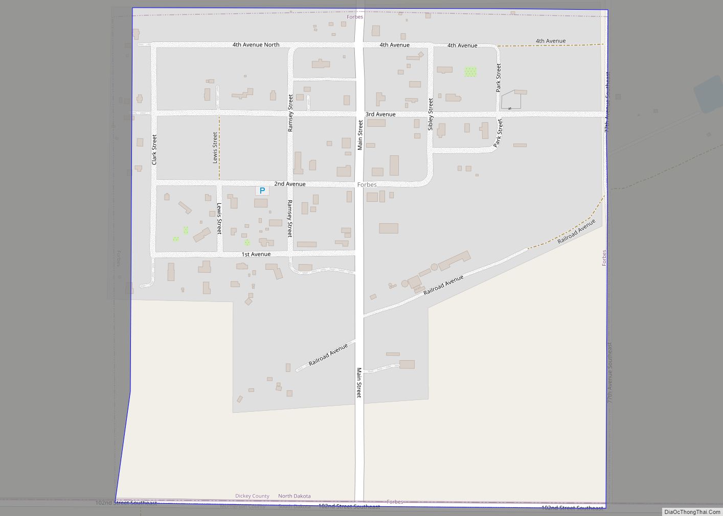
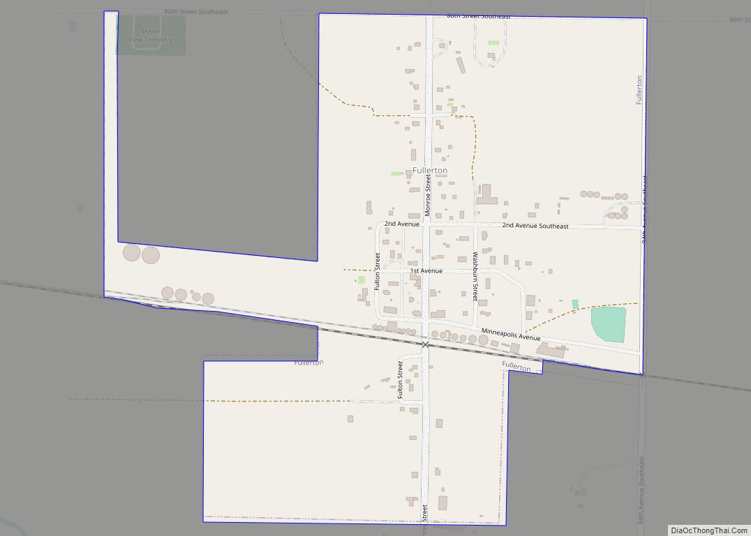
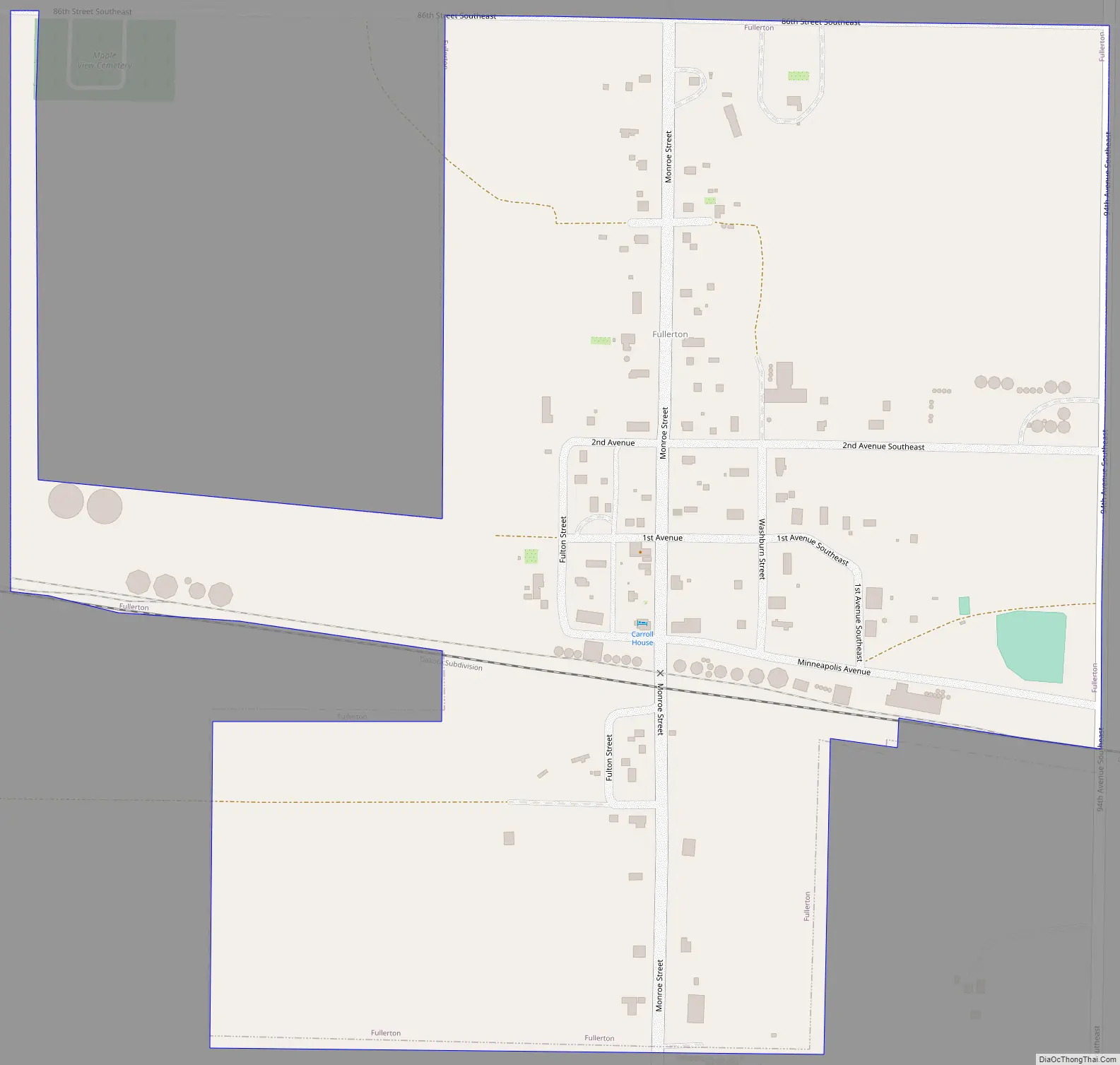
Fullerton Road Map
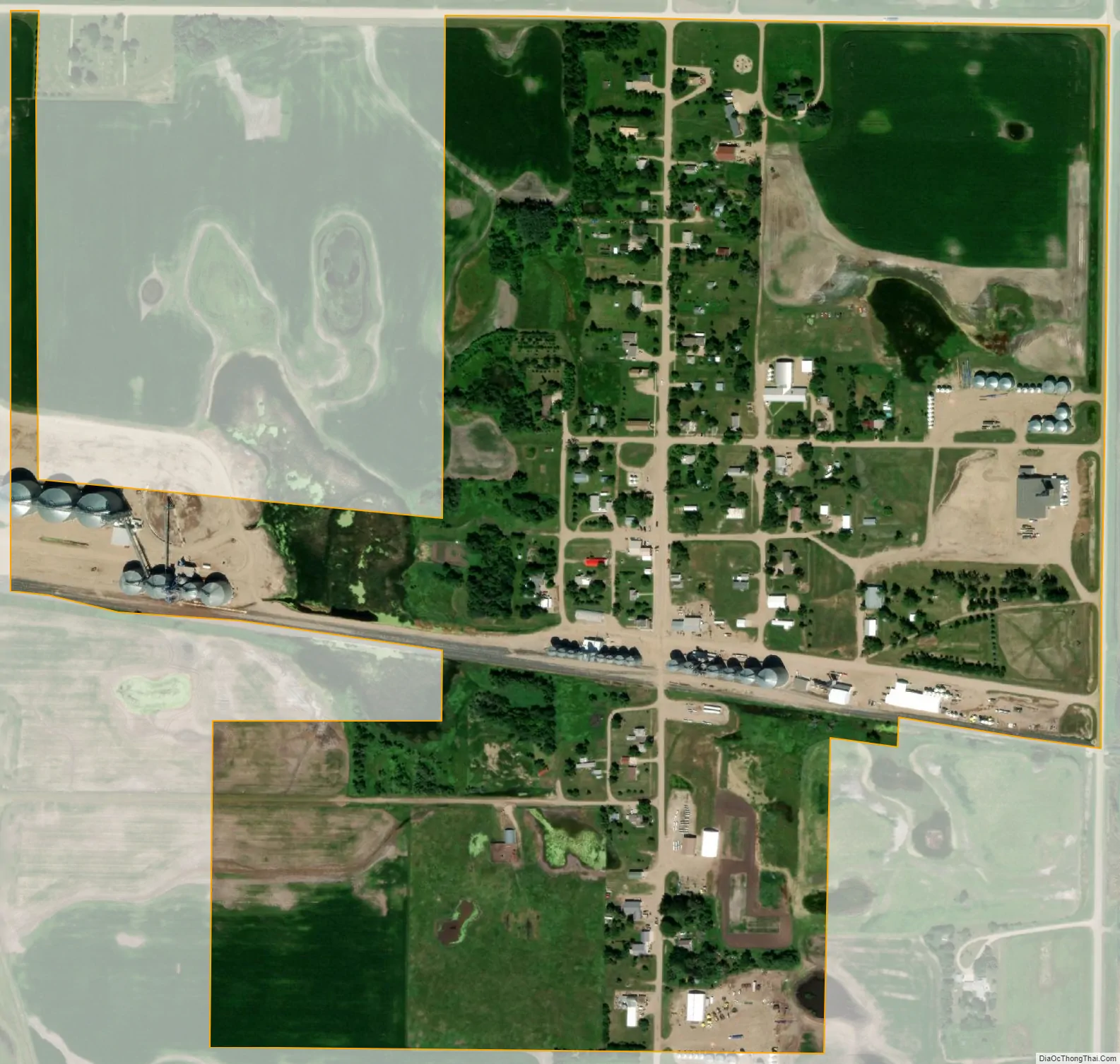
Fullerton city Satellite Map
Geography
Fullerton is located at 46°9′46″N 98°25′40″W / 46.16278°N 98.42778°W / 46.16278; -98.42778 (46.162648, -98.427734).
According to the United States Census Bureau, the city has a total area of 0.39 square miles (1.01 km), all land.
Climate
See also
Map of North Dakota State and its subdivision:- Adams
- Barnes
- Benson
- Billings
- Bottineau
- Bowman
- Burke
- Burleigh
- Cass
- Cavalier
- Dickey
- Divide
- Dunn
- Eddy
- Emmons
- Foster
- Golden Valley
- Grand Forks
- Grant
- Griggs
- Hettinger
- Kidder
- Lamoure
- Logan
- McHenry
- McIntosh
- McKenzie
- McLean
- Mercer
- Morton
- Mountrail
- Nelson
- Oliver
- Pembina
- Pierce
- Ramsey
- Ransom
- Renville
- Richland
- Rolette
- Sargent
- Sheridan
- Sioux
- Slope
- Stark
- Steele
- Stutsman
- Towner
- Traill
- Walsh
- Ward
- Wells
- Williams
- Alabama
- Alaska
- Arizona
- Arkansas
- California
- Colorado
- Connecticut
- Delaware
- District of Columbia
- Florida
- Georgia
- Hawaii
- Idaho
- Illinois
- Indiana
- Iowa
- Kansas
- Kentucky
- Louisiana
- Maine
- Maryland
- Massachusetts
- Michigan
- Minnesota
- Mississippi
- Missouri
- Montana
- Nebraska
- Nevada
- New Hampshire
- New Jersey
- New Mexico
- New York
- North Carolina
- North Dakota
- Ohio
- Oklahoma
- Oregon
- Pennsylvania
- Rhode Island
- South Carolina
- South Dakota
- Tennessee
- Texas
- Utah
- Vermont
- Virginia
- Washington
- West Virginia
- Wisconsin
- Wyoming