Glen Ullin is a city in Morton County, North Dakota, United States. It is part of the “Bismarck, ND Metropolitan Statistical Area” or “Bismarck-Mandan”. The population was 732 at the 2020 census.
| Name: | Glen Ullin city |
|---|---|
| LSAD Code: | 25 |
| LSAD Description: | city (suffix) |
| State: | North Dakota |
| County: | Morton County |
| Elevation: | 2,080 ft (634 m) |
| Total Area: | 1.05 sq mi (2.72 km²) |
| Land Area: | 1.02 sq mi (2.64 km²) |
| Water Area: | 0.03 sq mi (0.08 km²) |
| Total Population: | 732 |
| Population Density: | 719.06/sq mi (277.55/km²) |
| ZIP code: | 58631 |
| Area code: | 701 |
| FIPS code: | 3830860 |
| GNISfeature ID: | 1029133 |
| Website: | glen-ullin.com |
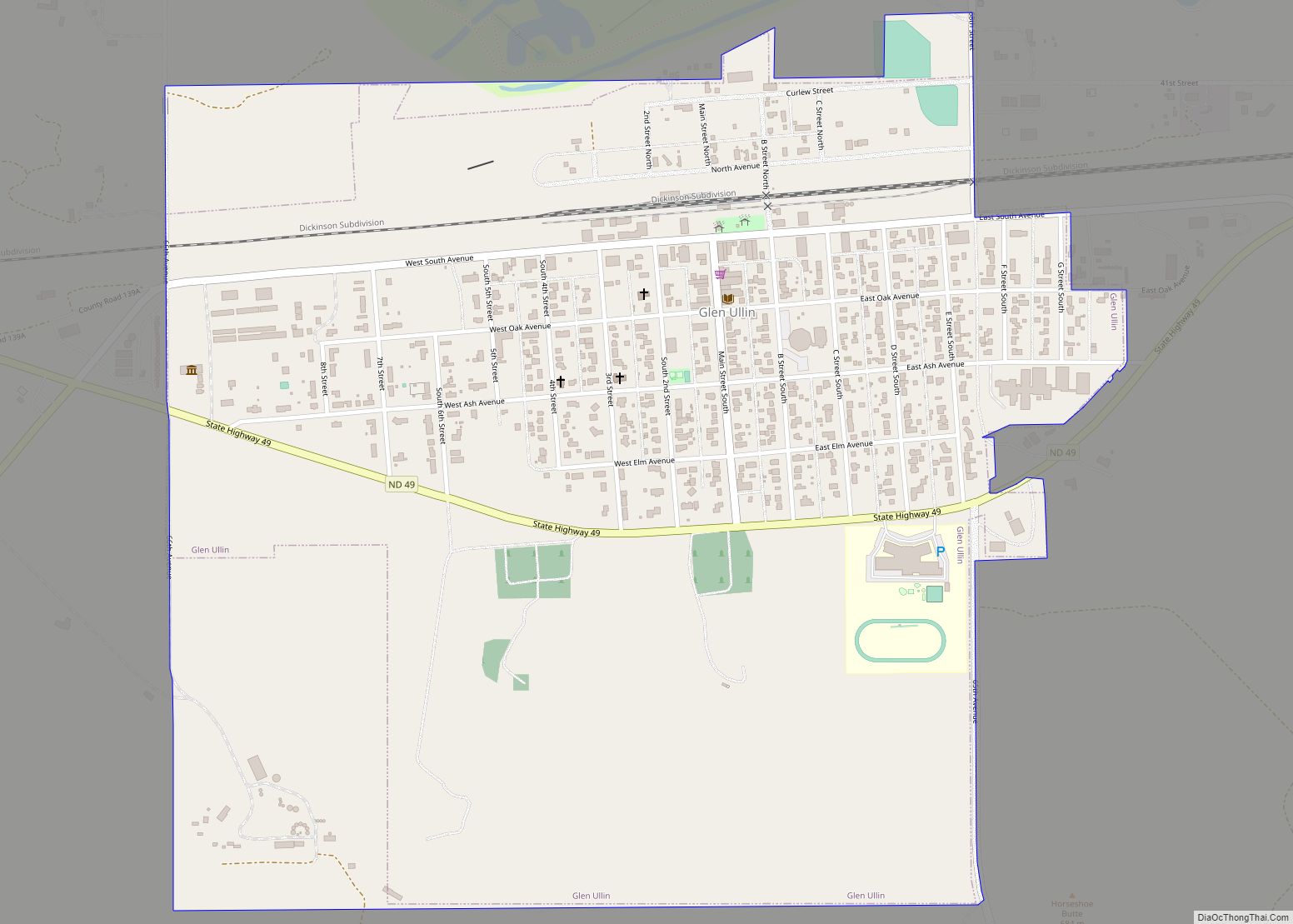
Online Interactive Map
Click on ![]() to view map in "full screen" mode.
to view map in "full screen" mode.
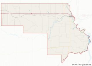
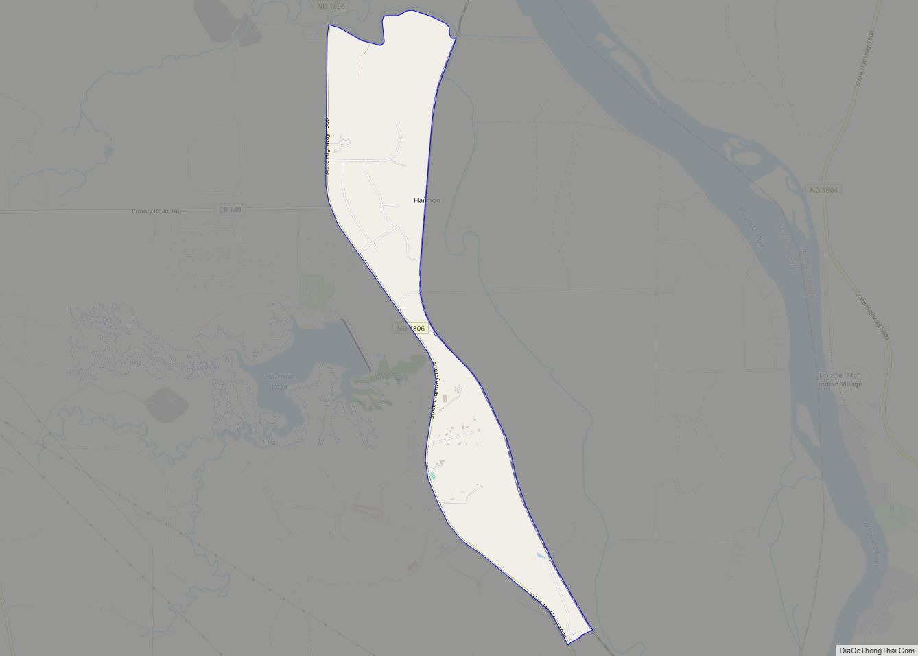
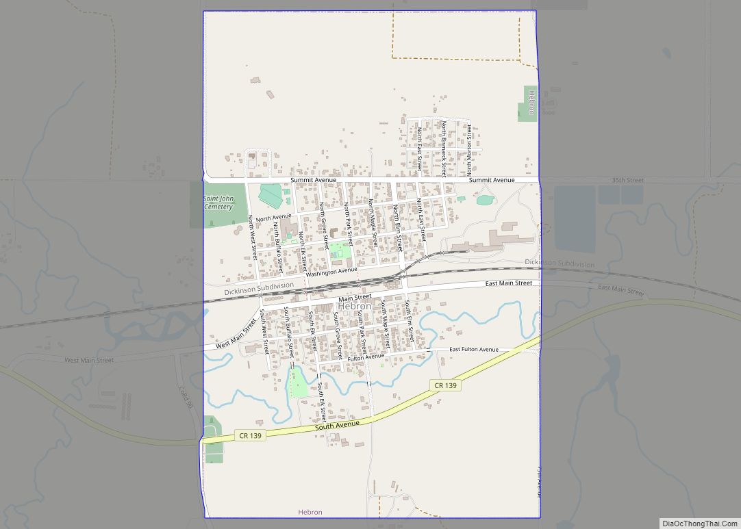
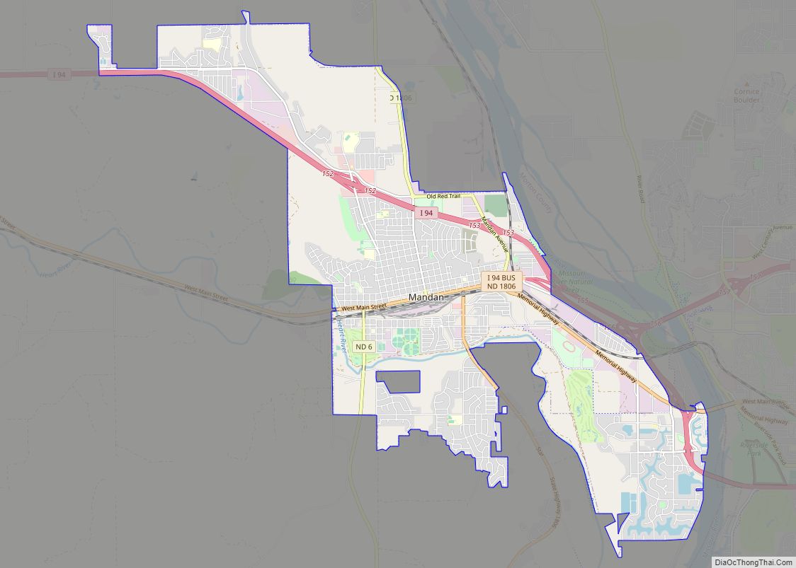
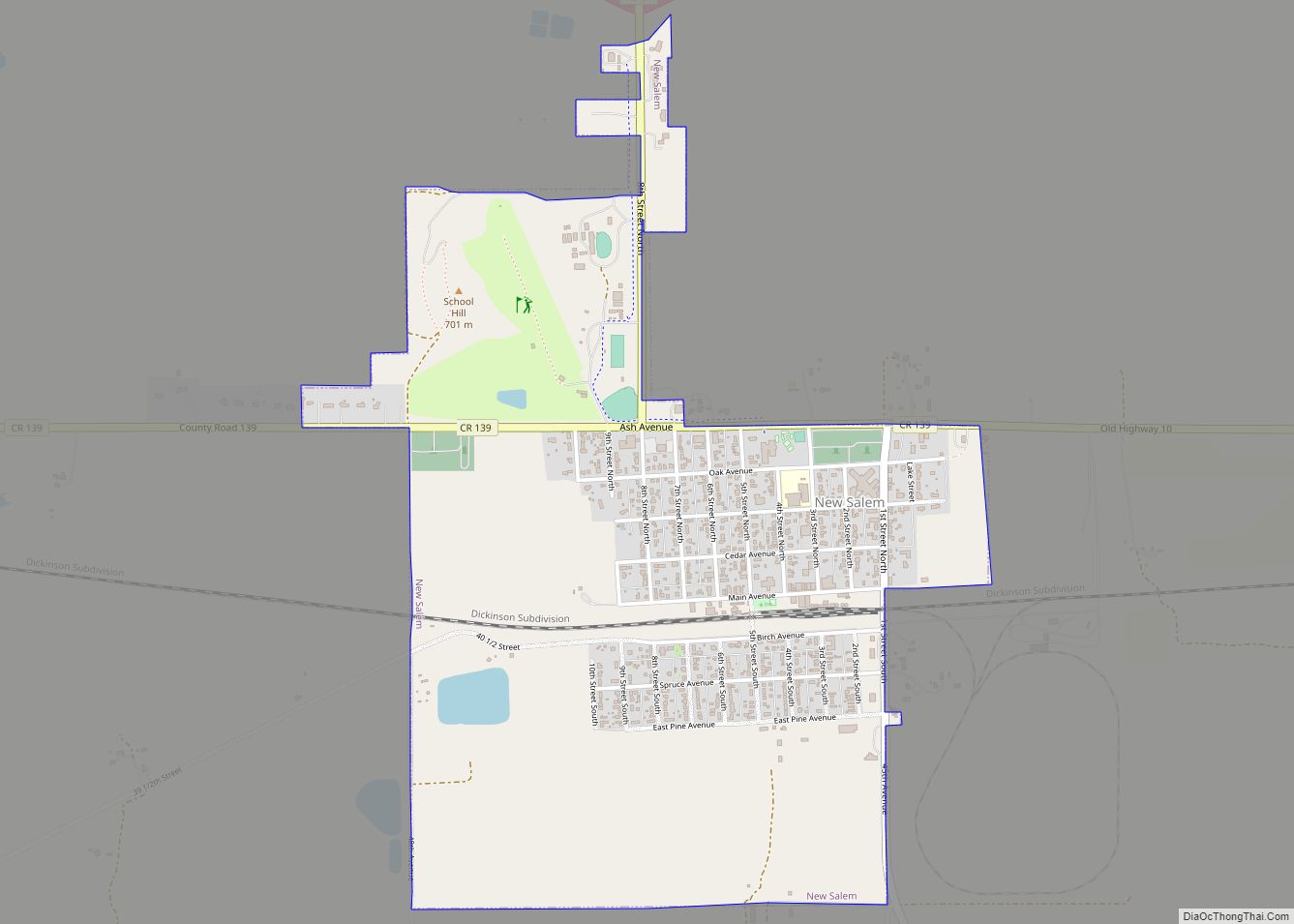
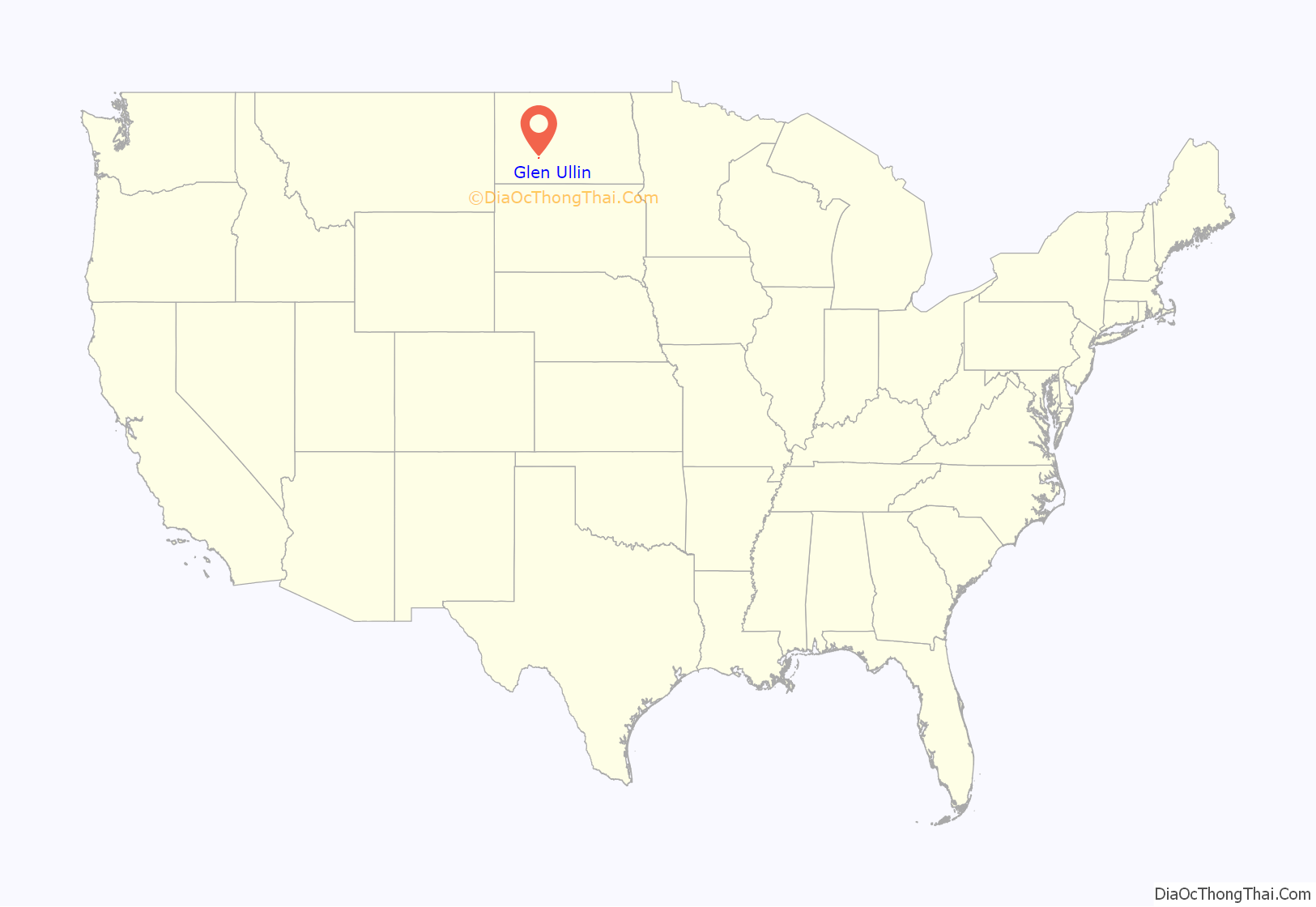
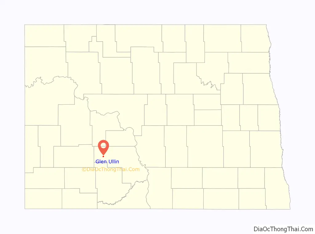
Glen Ullin location map. Where is Glen Ullin city?
History
Glen Ullin was founded in 1883 along the transcontinental route of the Northern Pacific Railway. The name was created by Major Alvan E. Bovay, a Northern Pacific land agent at the time. Glen, the Scottish Gaelic word for “valley,” was chosen because of the city’s location within a valley, while Ullin was taken from the Thomas Campbell poem Lord Ullin’s Daughter. Glen Ullin was originally built up chiefly by Germans from Russia.
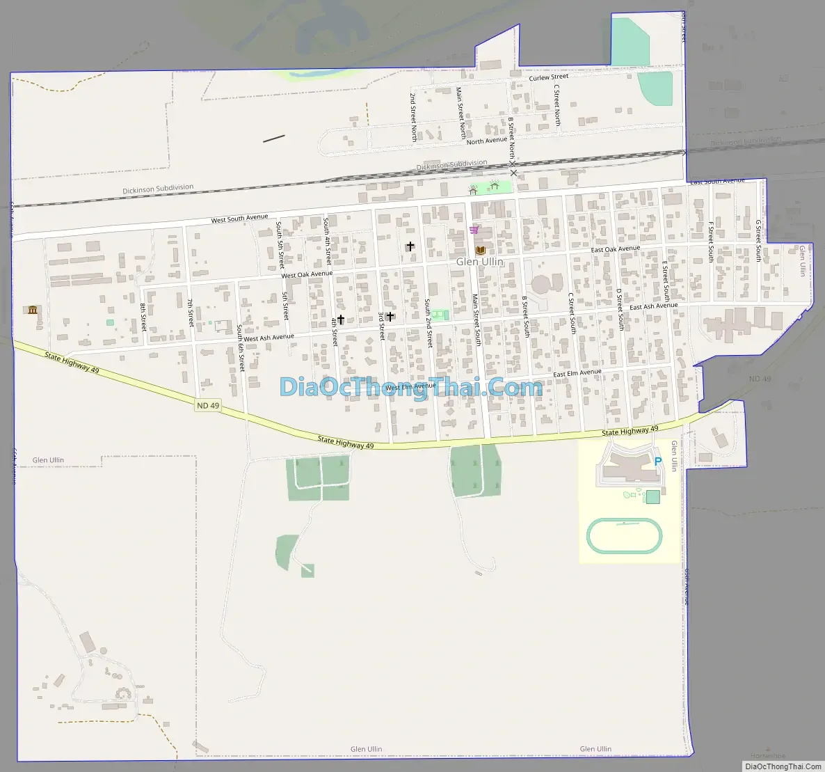
Glen Ullin Road Map
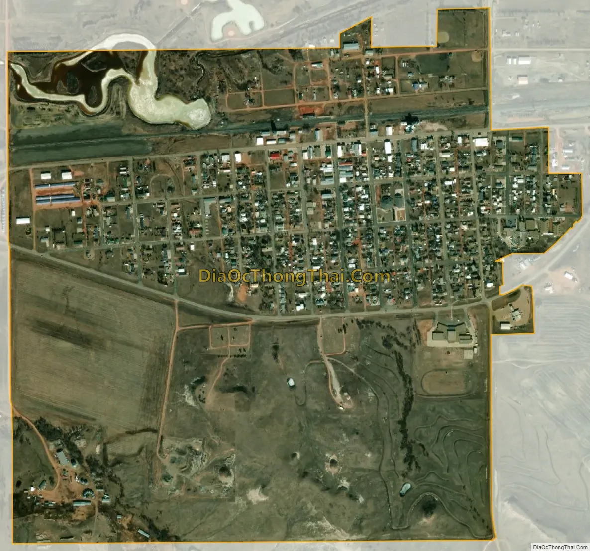
Glen Ullin city Satellite Map
Geography
According to the United States Census Bureau, the city has a total area of 1.07 square miles (2.77 km), of which, 1.04 square miles (2.69 km) is land and 0.03 square miles (0.08 km) is water.
See also
Map of North Dakota State and its subdivision:- Adams
- Barnes
- Benson
- Billings
- Bottineau
- Bowman
- Burke
- Burleigh
- Cass
- Cavalier
- Dickey
- Divide
- Dunn
- Eddy
- Emmons
- Foster
- Golden Valley
- Grand Forks
- Grant
- Griggs
- Hettinger
- Kidder
- Lamoure
- Logan
- McHenry
- McIntosh
- McKenzie
- McLean
- Mercer
- Morton
- Mountrail
- Nelson
- Oliver
- Pembina
- Pierce
- Ramsey
- Ransom
- Renville
- Richland
- Rolette
- Sargent
- Sheridan
- Sioux
- Slope
- Stark
- Steele
- Stutsman
- Towner
- Traill
- Walsh
- Ward
- Wells
- Williams
- Alabama
- Alaska
- Arizona
- Arkansas
- California
- Colorado
- Connecticut
- Delaware
- District of Columbia
- Florida
- Georgia
- Hawaii
- Idaho
- Illinois
- Indiana
- Iowa
- Kansas
- Kentucky
- Louisiana
- Maine
- Maryland
- Massachusetts
- Michigan
- Minnesota
- Mississippi
- Missouri
- Montana
- Nebraska
- Nevada
- New Hampshire
- New Jersey
- New Mexico
- New York
- North Carolina
- North Dakota
- Ohio
- Oklahoma
- Oregon
- Pennsylvania
- Rhode Island
- South Carolina
- South Dakota
- Tennessee
- Texas
- Utah
- Vermont
- Virginia
- Washington
- West Virginia
- Wisconsin
- Wyoming