Grandin is a city in Cass and Traill counties in the State of North Dakota, founded in 1881. The population was 186 at the 2020 census. It is now a bedroom community for the nearby Fargo-Moorhead area.
The farm that belonged to the city namesake brothers was one of the earliest adopters of the telephone in the state. Grandin was the birthplace of the abstract expressionist painter Clyfford Still.
| Name: | Grandin city |
|---|---|
| LSAD Code: | 25 |
| LSAD Description: | city (suffix) |
| State: | North Dakota |
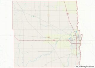
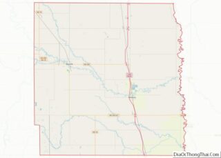
| County: | Cass County, Traill County |
| Elevation: | 896 ft (273 m) |
| Total Area: | 0.18 sq mi (0.47 km²) |
| Land Area: | 0.18 sq mi (0.47 km²) |
| Water Area: | 0.00 sq mi (0.00 km²) |
| Total Population: | 186 |
| Population Density: | 1,027.62/sq mi (396.59/km²) |
| ZIP code: | 58038 |
| Area code: | 701 |
| FIPS code: | 3832300 |
| GNISfeature ID: | 1029206 |
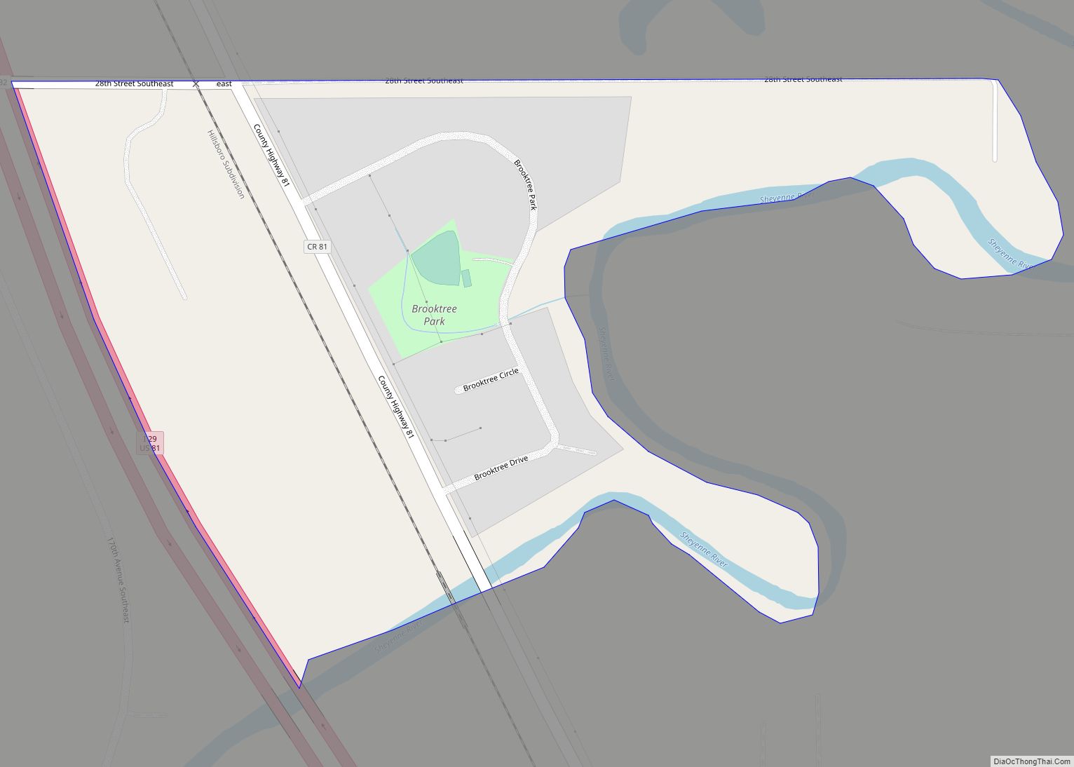
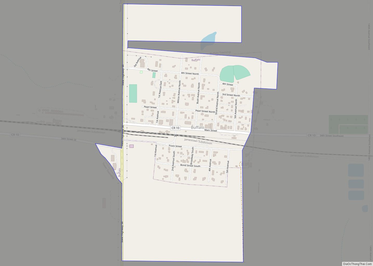
Online Interactive Map
Click on ![]() to view map in "full screen" mode.
to view map in "full screen" mode.
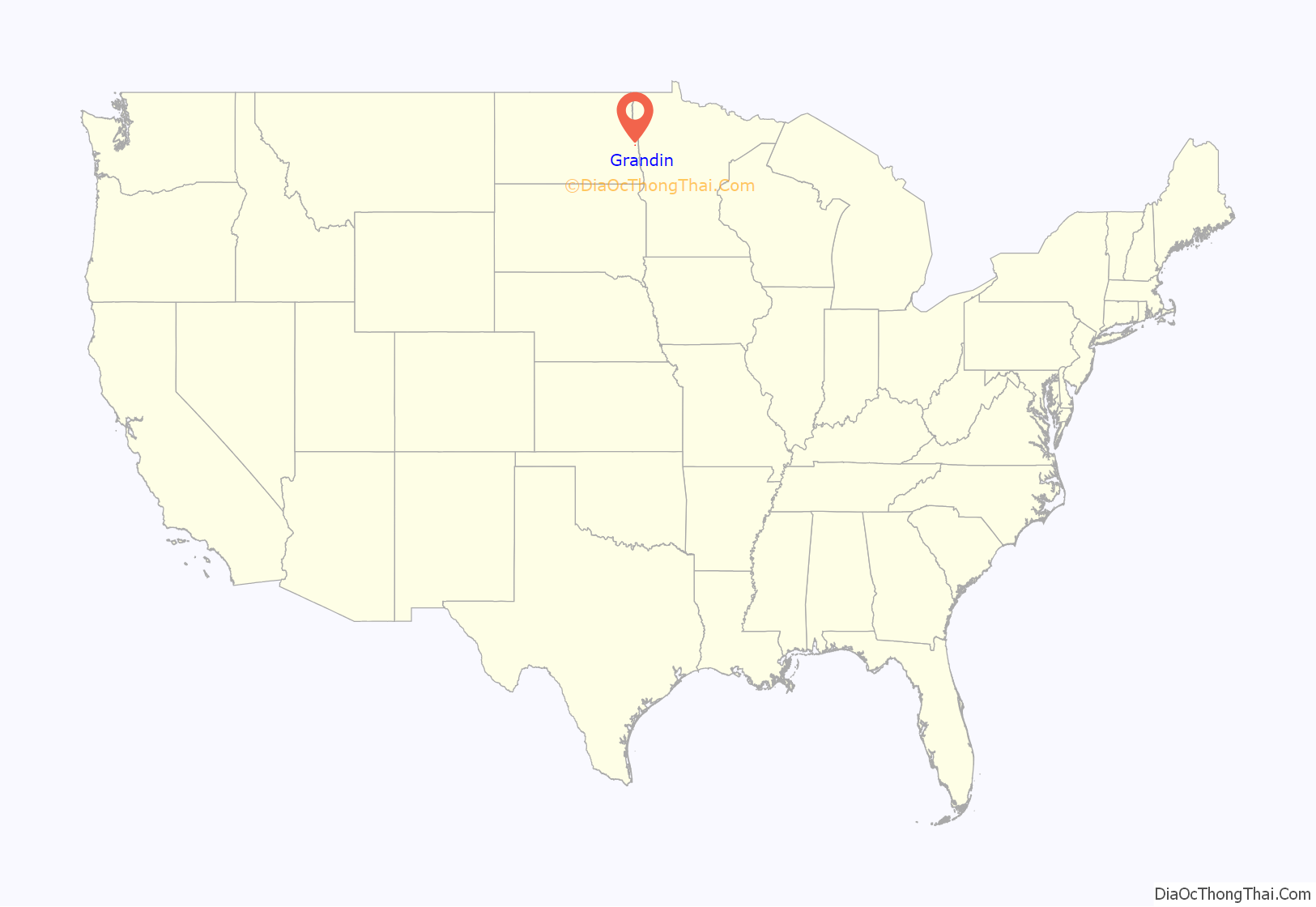
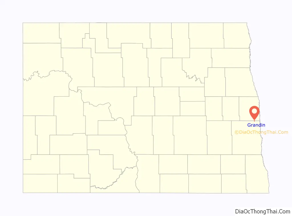
Grandin location map. Where is Grandin city?
History
Grandin was named for Bonanza farmer John Livingston Grandin. Grandin, a native of Tidioute, Pennsylvania, along with his brother William James, purchased 99 sections of land in the Red River Valley, dividing them in 1,500 acre farms. The brothers had 14,000 acres under cultivation near Grandin, with another 600 acres near Mayville, North Dakota. Prior to the arrival of the railroad the brothers shipped wheat from their farm by barge on the Red River to Fargo, 90 miles downstream. The barges were towed by the steamers Alsop and Grandin. The Grandin brothers’ bonanza farm was one of the earliest adopters of the telephone in the state. JL Grandin’s great granddaughter is Temple Grandin, an animal scientist, author and autism advocate.
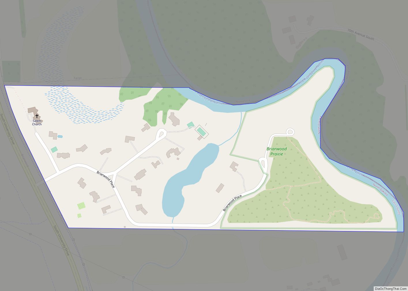
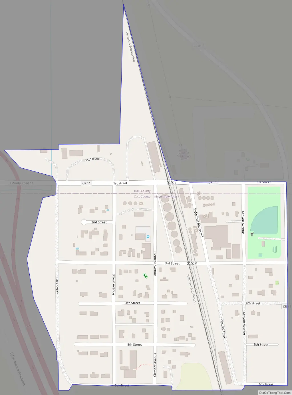
Grandin Road Map
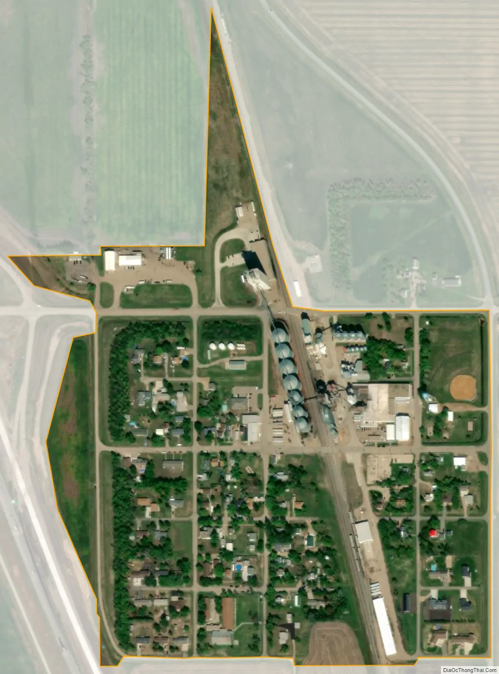
Grandin city Satellite Map
Geography
Grandin is located at 47°14′10″N 97°0′10″W / 47.23611°N 97.00278°W / 47.23611; -97.00278 (47.236033, -97.002717).
According to the United States Census Bureau, the city has a total area of 0.17 square miles (0.44 km), all land.
See also
Map of North Dakota State and its subdivision:- Adams
- Barnes
- Benson
- Billings
- Bottineau
- Bowman
- Burke
- Burleigh
- Cass
- Cavalier
- Dickey
- Divide
- Dunn
- Eddy
- Emmons
- Foster
- Golden Valley
- Grand Forks
- Grant
- Griggs
- Hettinger
- Kidder
- Lamoure
- Logan
- McHenry
- McIntosh
- McKenzie
- McLean
- Mercer
- Morton
- Mountrail
- Nelson
- Oliver
- Pembina
- Pierce
- Ramsey
- Ransom
- Renville
- Richland
- Rolette
- Sargent
- Sheridan
- Sioux
- Slope
- Stark
- Steele
- Stutsman
- Towner
- Traill
- Walsh
- Ward
- Wells
- Williams
- Alabama
- Alaska
- Arizona
- Arkansas
- California
- Colorado
- Connecticut
- Delaware
- District of Columbia
- Florida
- Georgia
- Hawaii
- Idaho
- Illinois
- Indiana
- Iowa
- Kansas
- Kentucky
- Louisiana
- Maine
- Maryland
- Massachusetts
- Michigan
- Minnesota
- Mississippi
- Missouri
- Montana
- Nebraska
- Nevada
- New Hampshire
- New Jersey
- New Mexico
- New York
- North Carolina
- North Dakota
- Ohio
- Oklahoma
- Oregon
- Pennsylvania
- Rhode Island
- South Carolina
- South Dakota
- Tennessee
- Texas
- Utah
- Vermont
- Virginia
- Washington
- West Virginia
- Wisconsin
- Wyoming