Grano is a city in Renville County, North Dakota, United States. The population was 10 at the 2020 Census.
Grano was founded in 1905 along the Soo Line Railroad branch line running east from Kenmare across the northern portion of North Dakota. Several unconfirmed explanations exist regarding how the town got its name. It is generally accepted that the town’s name is derived from the Assiniboine, who lived in the area before the settlement of colonizers.
It is part of the Minot Micropolitan Statistical Area.
| Name: | Grano city |
|---|---|
| LSAD Code: | 25 |
| LSAD Description: | city (suffix) |
| State: | North Dakota |
| County: | Renville County |
| Founded: | 1905 |
| Elevation: | 1,732 ft (528 m) |
| Total Area: | 0.29 sq mi (0.76 km²) |
| Land Area: | 0.29 sq mi (0.76 km²) |
| Water Area: | 0.00 sq mi (0.00 km²) |
| Total Population: | 9 |
| Population Density: | 30.61/sq mi (11.80/km²) |
| ZIP code: | 58750 |
| Area code: | 701 |
| FIPS code: | 3832580 |
| GNISfeature ID: | 1029212 |
Online Interactive Map
Click on ![]() to view map in "full screen" mode.
to view map in "full screen" mode.
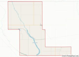
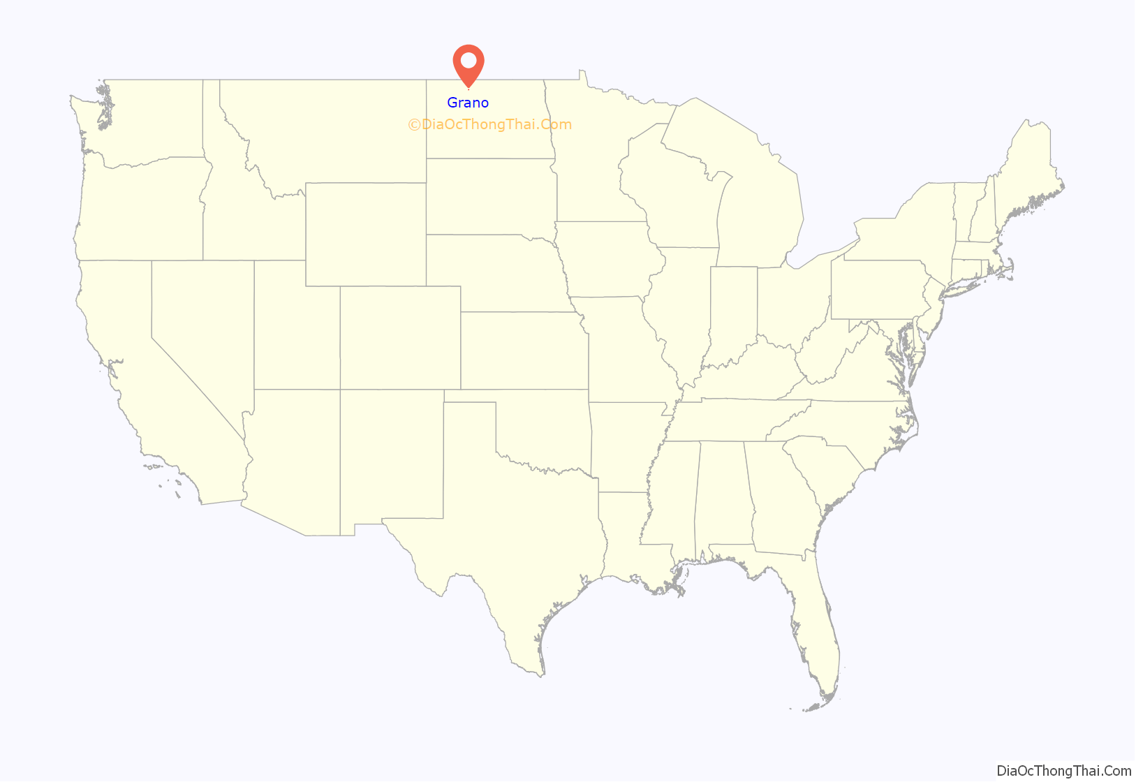
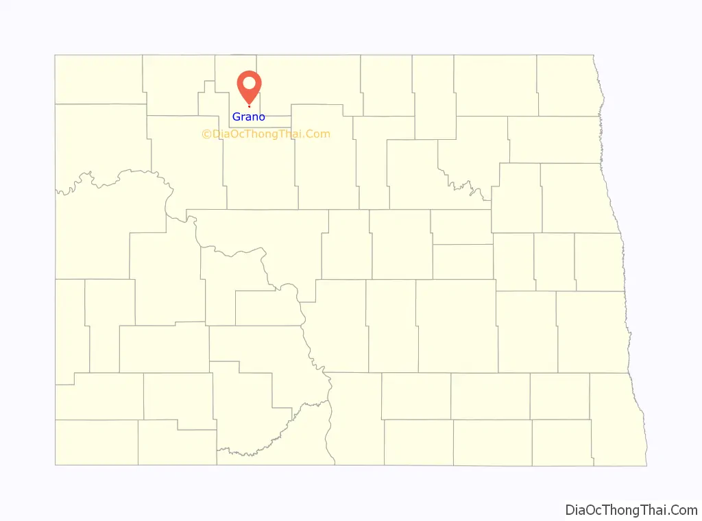
Grano location map. Where is Grano city?
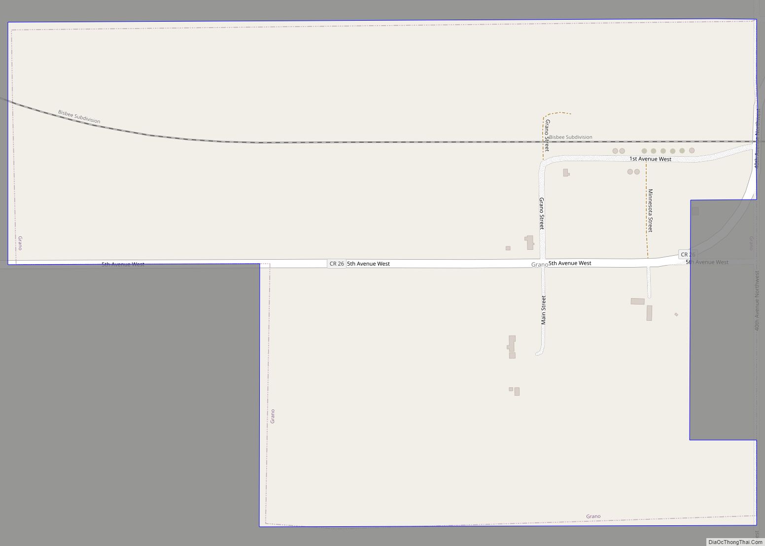
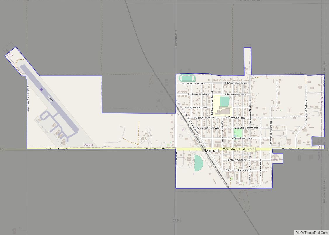
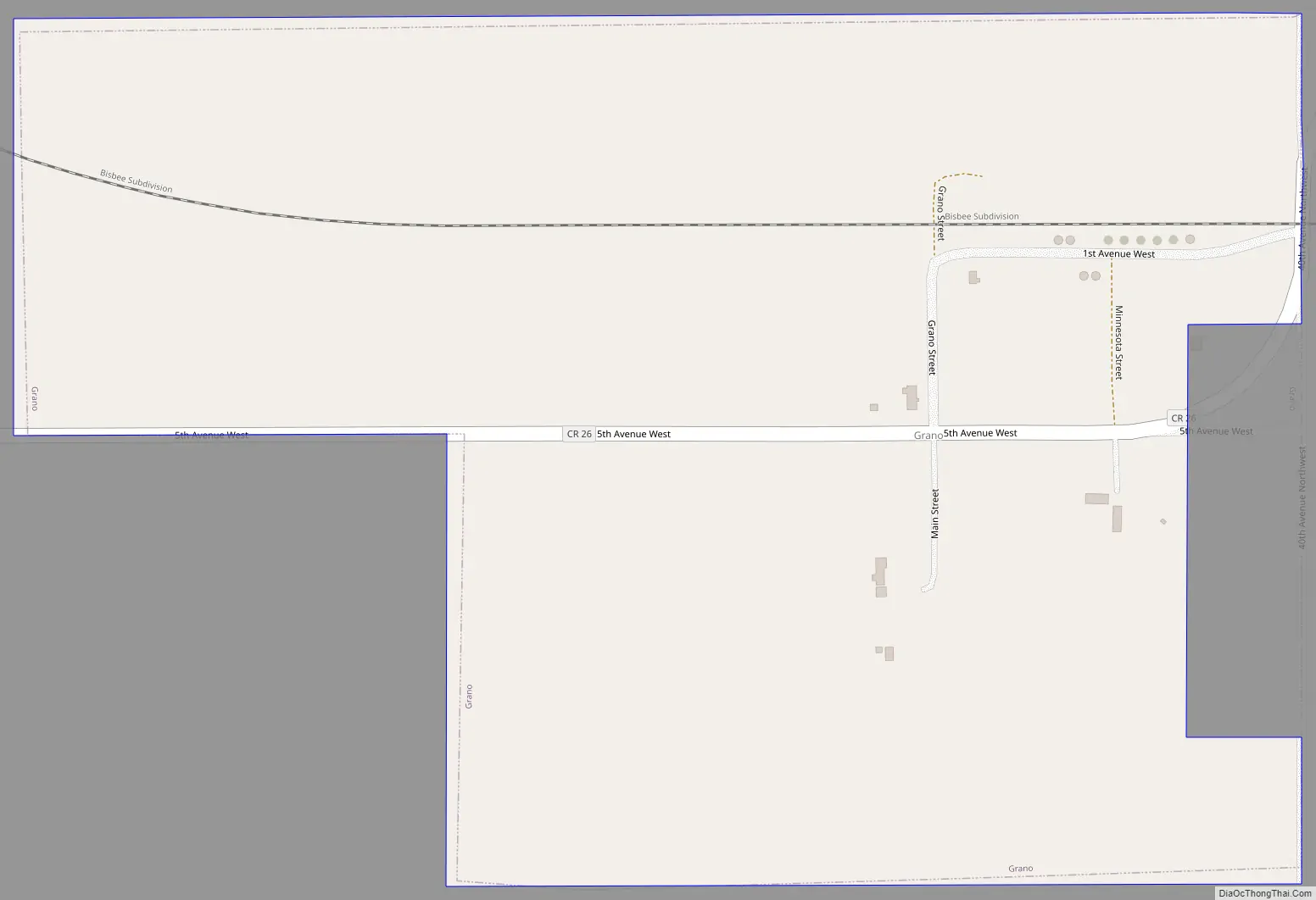
Grano Road Map
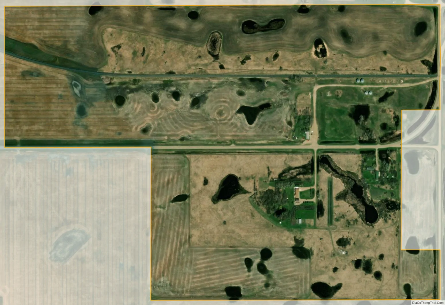
Grano city Satellite Map
Geography
Grano is located at 48°36′57″N 101°35′15″W / 48.61583°N 101.58750°W / 48.61583; -101.58750 (48.615698, -101.587365).
According to the United States Census Bureau, the city has a total area of 0.30 square miles (0.78 km), all land.
See also
Map of North Dakota State and its subdivision:- Adams
- Barnes
- Benson
- Billings
- Bottineau
- Bowman
- Burke
- Burleigh
- Cass
- Cavalier
- Dickey
- Divide
- Dunn
- Eddy
- Emmons
- Foster
- Golden Valley
- Grand Forks
- Grant
- Griggs
- Hettinger
- Kidder
- Lamoure
- Logan
- McHenry
- McIntosh
- McKenzie
- McLean
- Mercer
- Morton
- Mountrail
- Nelson
- Oliver
- Pembina
- Pierce
- Ramsey
- Ransom
- Renville
- Richland
- Rolette
- Sargent
- Sheridan
- Sioux
- Slope
- Stark
- Steele
- Stutsman
- Towner
- Traill
- Walsh
- Ward
- Wells
- Williams
- Alabama
- Alaska
- Arizona
- Arkansas
- California
- Colorado
- Connecticut
- Delaware
- District of Columbia
- Florida
- Georgia
- Hawaii
- Idaho
- Illinois
- Indiana
- Iowa
- Kansas
- Kentucky
- Louisiana
- Maine
- Maryland
- Massachusetts
- Michigan
- Minnesota
- Mississippi
- Missouri
- Montana
- Nebraska
- Nevada
- New Hampshire
- New Jersey
- New Mexico
- New York
- North Carolina
- North Dakota
- Ohio
- Oklahoma
- Oregon
- Pennsylvania
- Rhode Island
- South Carolina
- South Dakota
- Tennessee
- Texas
- Utah
- Vermont
- Virginia
- Washington
- West Virginia
- Wisconsin
- Wyoming