Kief is a city in McHenry County, North Dakota, United States. The population was 8 at the 2020 census. It is part of the Minot Micropolitan Statistical Area. Kief was founded in 1908.
| Name: | Kief city |
|---|---|
| LSAD Code: | 25 |
| LSAD Description: | city (suffix) |
| State: | North Dakota |
| County: | McHenry County |
| Founded: | 1908 |
| Elevation: | 1,670 ft (509 m) |
| Total Area: | 1.25 sq mi (3.23 km²) |
| Land Area: | 1.23 sq mi (3.18 km²) |
| Water Area: | 0.02 sq mi (0.06 km²) |
| Total Population: | 8 |
| Population Density: | 6.52/sq mi (2.52/km²) |
| ZIP code: | 58723 |
| Area code: | 701 |
| FIPS code: | 3842660 |
| GNISfeature ID: | 1029735 |
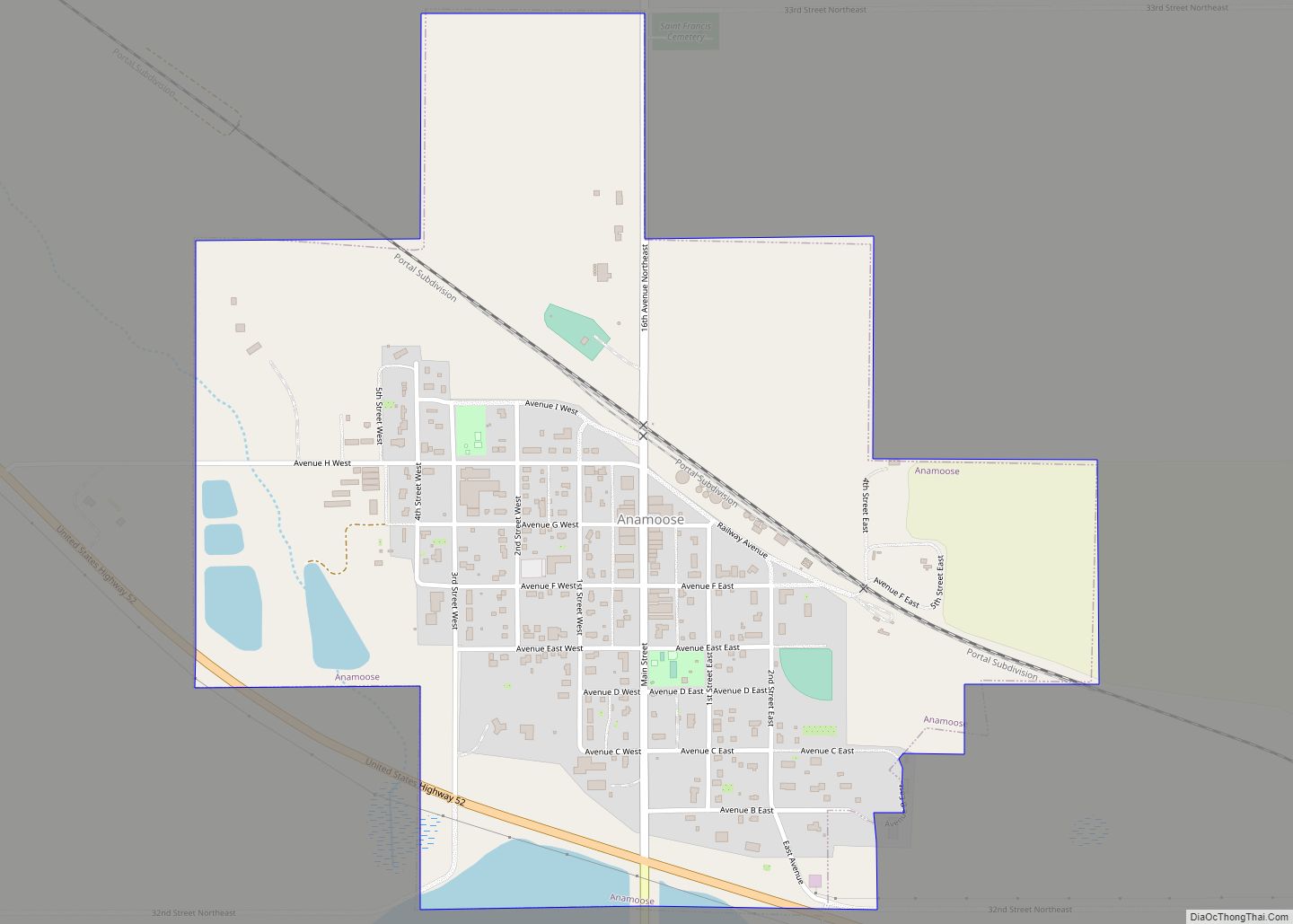
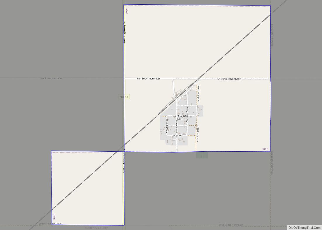
Online Interactive Map
Click on ![]() to view map in "full screen" mode.
to view map in "full screen" mode.
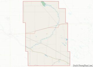
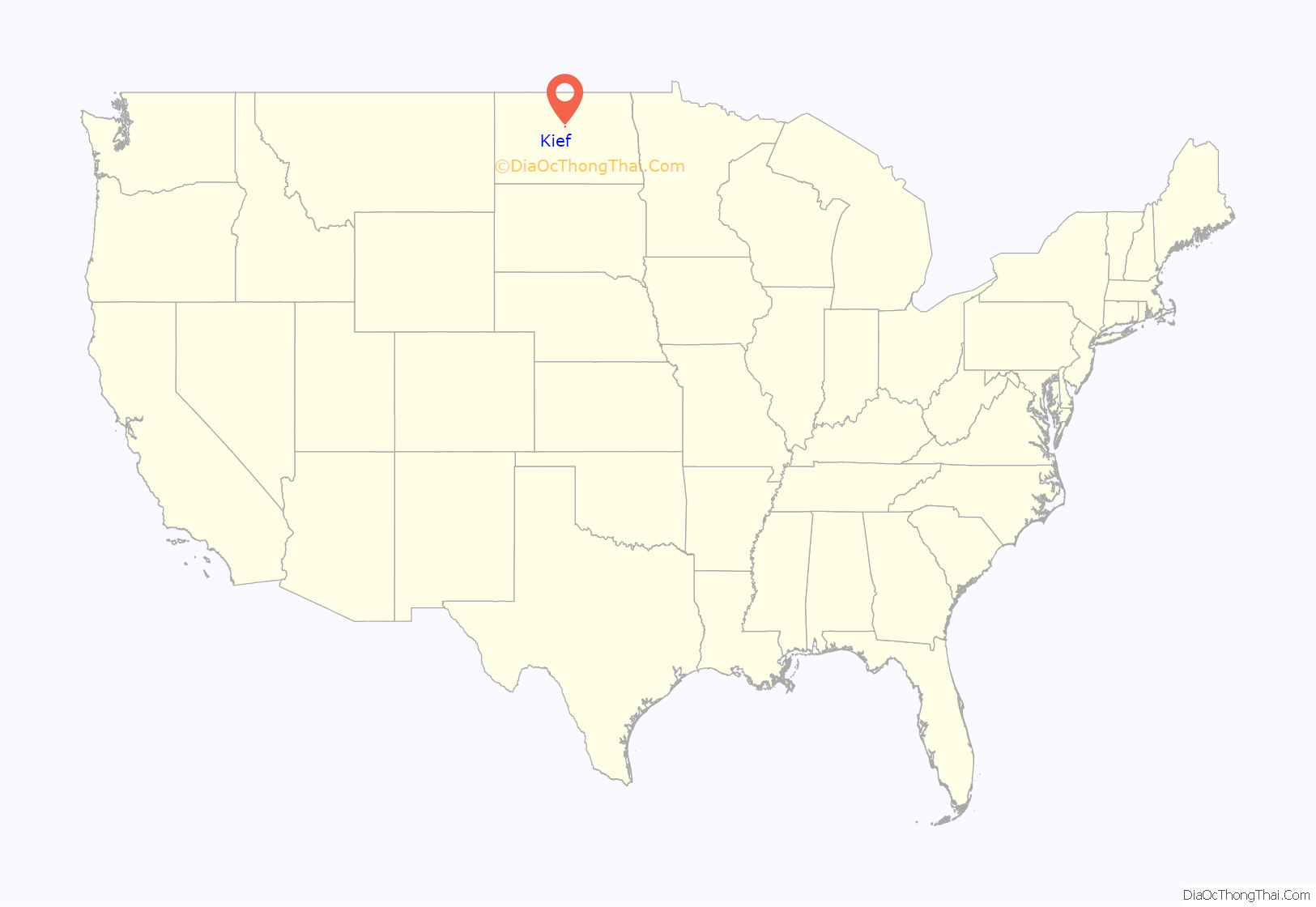
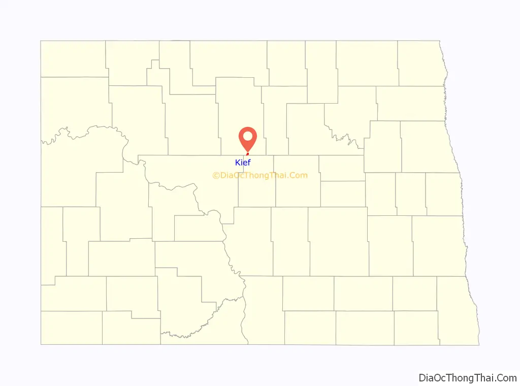
Kief location map. Where is Kief city?
History
Kief was founded in 1908 as a station along the Soo Line Railroad. The city was named by Ukrainian settlers after the city of Kyiv in Ukraine (formerly Kievan Governorate of Russia). Kief was the transliteration for Kyiv at the time. A post office was established in 1909 and the town was later incorporated as a village in 1916. It achieved a peak population of 307 in 1920. It became a city in 1967, after the North Dakota Legislature enacted legislation that eliminated all existing incorporation titles for towns and villages in the state.
Kief Road Map
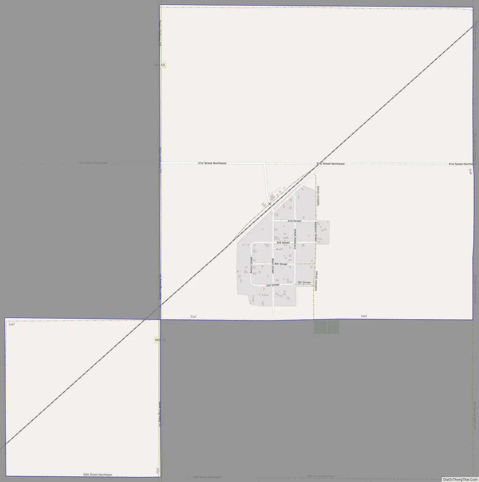
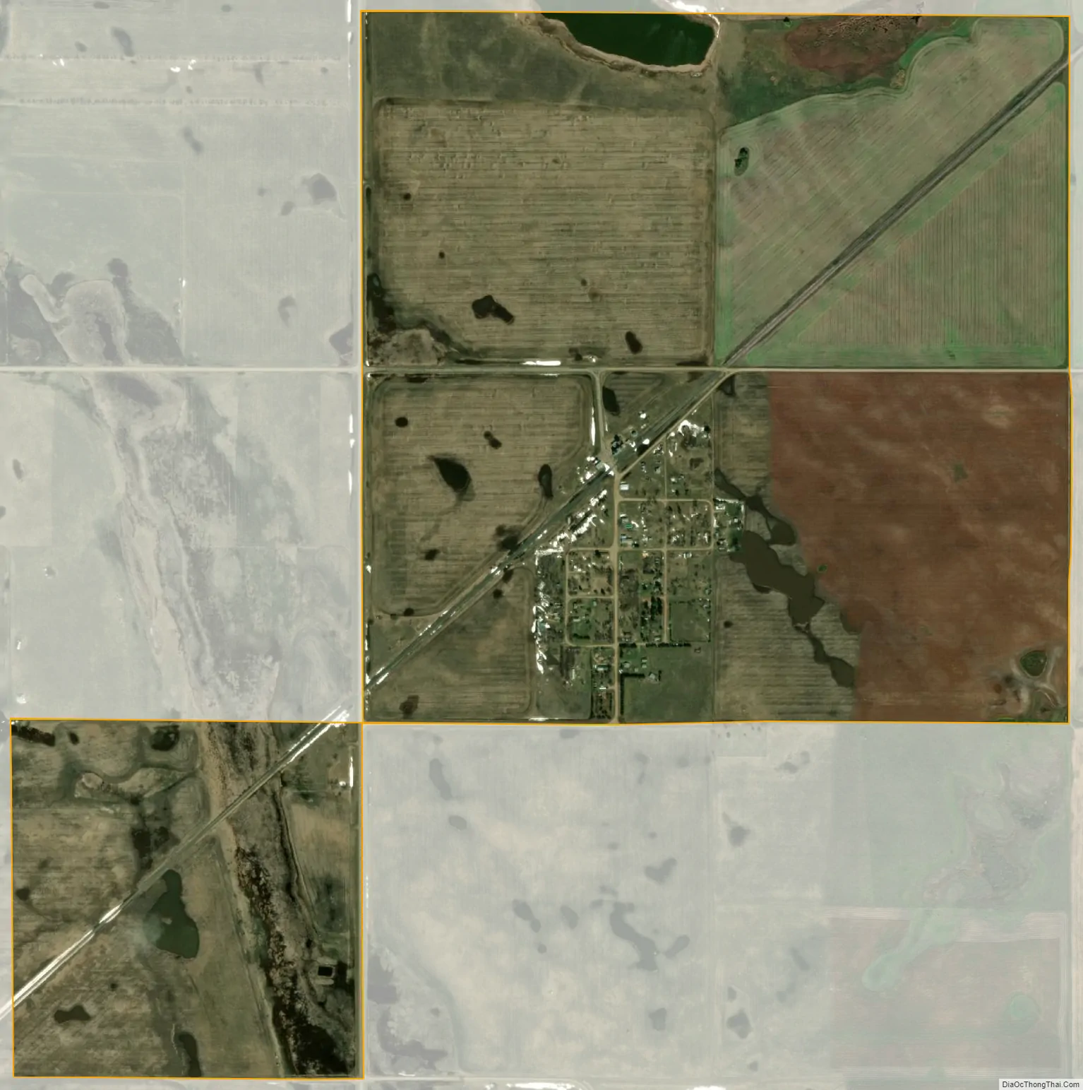
Kief city Satellite Map
Geography
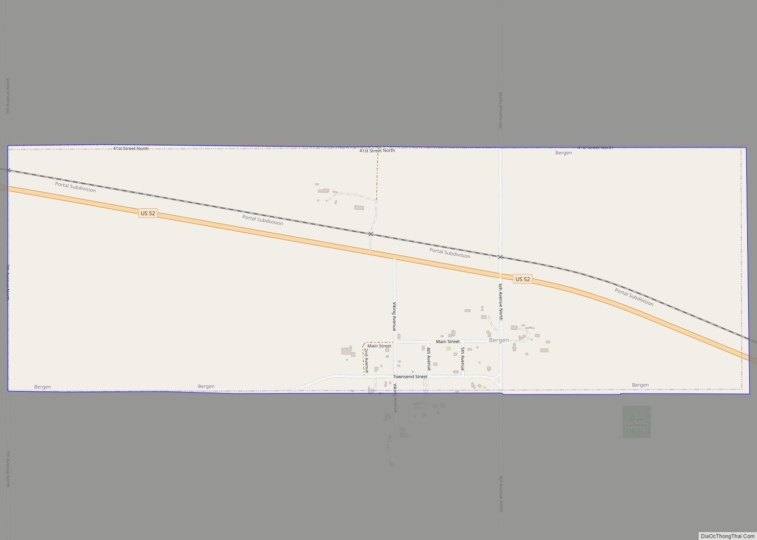
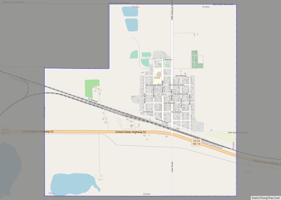
Kief is located in Land Township, roughly 8 miles (13 km) southwest of Drake.
According to the United States Census Bureau, the city has a total area of 1.24 square miles (3.21 km), of which 1.22 square miles (3.16 km) is land and 0.02 square miles (0.05 km) is water.
See also
Map of North Dakota State and its subdivision:- Adams
- Barnes
- Benson
- Billings
- Bottineau
- Bowman
- Burke
- Burleigh
- Cass
- Cavalier
- Dickey
- Divide
- Dunn
- Eddy
- Emmons
- Foster
- Golden Valley
- Grand Forks
- Grant
- Griggs
- Hettinger
- Kidder
- Lamoure
- Logan
- McHenry
- McIntosh
- McKenzie
- McLean
- Mercer
- Morton
- Mountrail
- Nelson
- Oliver
- Pembina
- Pierce
- Ramsey
- Ransom
- Renville
- Richland
- Rolette
- Sargent
- Sheridan
- Sioux
- Slope
- Stark
- Steele
- Stutsman
- Towner
- Traill
- Walsh
- Ward
- Wells
- Williams
- Alabama
- Alaska
- Arizona
- Arkansas
- California
- Colorado
- Connecticut
- Delaware
- District of Columbia
- Florida
- Georgia
- Hawaii
- Idaho
- Illinois
- Indiana
- Iowa
- Kansas
- Kentucky
- Louisiana
- Maine
- Maryland
- Massachusetts
- Michigan
- Minnesota
- Mississippi
- Missouri
- Montana
- Nebraska
- Nevada
- New Hampshire
- New Jersey
- New Mexico
- New York
- North Carolina
- North Dakota
- Ohio
- Oklahoma
- Oregon
- Pennsylvania
- Rhode Island
- South Carolina
- South Dakota
- Tennessee
- Texas
- Utah
- Vermont
- Virginia
- Washington
- West Virginia
- Wisconsin
- Wyoming