Mayville is a city in Traill County, North Dakota, United States. The population was 1,854 at the 2020 census. which makes Mayville the largest community in Traill County. Mayville was founded in 1881. The city’s name remembers May Arnold, the first white child born in the immediate area.
Mayville is often grouped with the neighboring city of Portland. The two towns are sometimes given the name May-Port. Mayville State University is located in Mayville.
| Name: | Mayville city |
|---|---|
| LSAD Code: | 25 |
| LSAD Description: | city (suffix) |
| State: | North Dakota |
| County: | Traill County |
| Founded: | 1881 |
| Elevation: | 971 ft (296 m) |
| Total Area: | 1.88 sq mi (4.88 km²) |
| Land Area: | 1.88 sq mi (4.88 km²) |
| Water Area: | 0.00 sq mi (0.00 km²) |
| Total Population: | 1,854 |
| Population Density: | 984.08/sq mi (380.00/km²) |
| ZIP code: | 58257 |
| Area code: | 701 |
| FIPS code: | 3851500 |
| GNISfeature ID: | 1030125 |
| Website: | mayvilleportland.com |
Online Interactive Map
Click on ![]() to view map in "full screen" mode.
to view map in "full screen" mode.
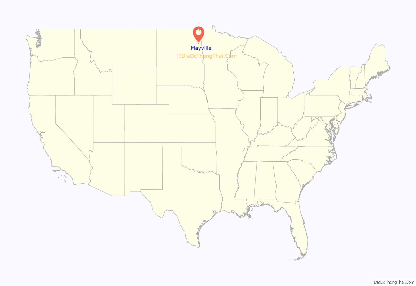
Mayville location map. Where is Mayville city?
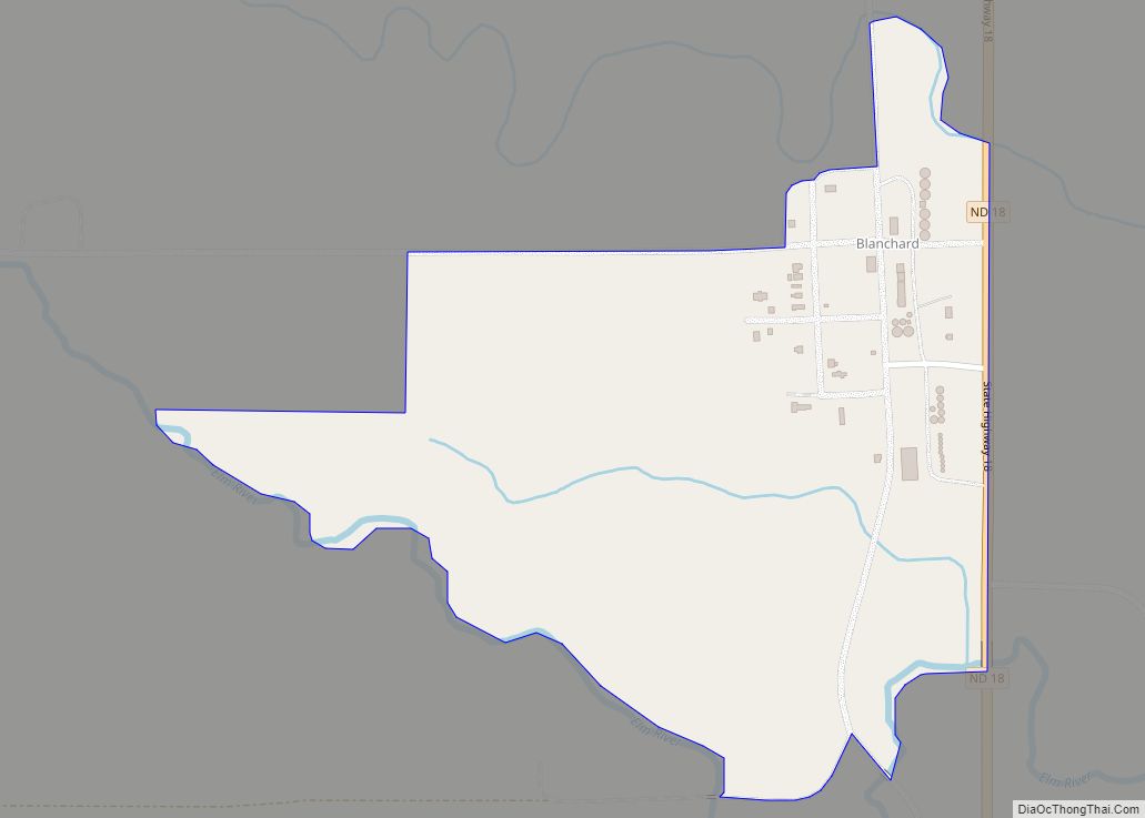
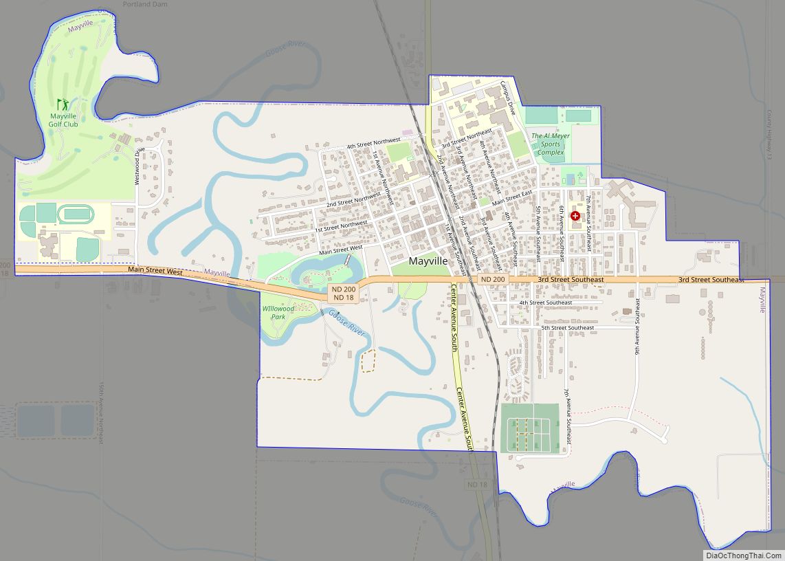
Mayville Road Map
Mayville city Satellite Map
Geography
Mayville is located at 47°29′59″N 97°19′32″W / 47.49972°N 97.32556°W / 47.49972; -97.32556 (47.499830, −97.325545).
Mayville sits in the fertile Red River Valley on the banks of the Goose River. The Valley was once a part of glacial Lake Agassiz. As the glacier receded, it left the land very flat, but also very rich. The area around Mayville is prime agricultural land.
According to the United States Census Bureau, the city has a total area of 1.92 square miles (4.97 km), all land.
In the summer of 2006, the community celebrated the city’s 125th anniversary.
See also
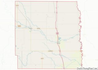
Map of North Dakota State and its subdivision:- Adams
- Barnes
- Benson
- Billings
- Bottineau
- Bowman
- Burke
- Burleigh
- Cass
- Cavalier
- Dickey
- Divide
- Dunn
- Eddy
- Emmons
- Foster
- Golden Valley
- Grand Forks
- Grant
- Griggs
- Hettinger
- Kidder
- Lamoure
- Logan
- McHenry
- McIntosh
- McKenzie
- McLean
- Mercer
- Morton
- Mountrail
- Nelson
- Oliver
- Pembina
- Pierce
- Ramsey
- Ransom
- Renville
- Richland
- Rolette
- Sargent
- Sheridan
- Sioux
- Slope
- Stark
- Steele
- Stutsman
- Towner
- Traill
- Walsh
- Ward
- Wells
- Williams
- Alabama
- Alaska
- Arizona
- Arkansas
- California
- Colorado
- Connecticut
- Delaware
- District of Columbia
- Florida
- Georgia
- Hawaii
- Idaho
- Illinois
- Indiana
- Iowa
- Kansas
- Kentucky
- Louisiana
- Maine
- Maryland
- Massachusetts
- Michigan
- Minnesota
- Mississippi
- Missouri
- Montana
- Nebraska
- Nevada
- New Hampshire
- New Jersey
- New Mexico
- New York
- North Carolina
- North Dakota
- Ohio
- Oklahoma
- Oregon
- Pennsylvania
- Rhode Island
- South Carolina
- South Dakota
- Tennessee
- Texas
- Utah
- Vermont
- Virginia
- Washington
- West Virginia
- Wisconsin
- Wyoming
