Parshall (Hidatsa: dibiarugareesh) is a city lying within the jurisdictional boundaries of the Mandan, Hidatsa, and Arikara Nation. It is located on the Fort Berthold Indian Reservation in Mountrail County, North Dakota, United States. The population was 949 at the 2020 census. Parshall was founded in 1914 by George Parshall, and is the home of the Paul Broste Rock Museum.
On February 15, 1936, Parshall recorded a temperature of −60 °F or −51.1 °C, setting a state record low temperature, which still stands today. Relatively nearby Steele, ND recorded a state record high of 121 °F or 49.4 °C less than five months later.
During the calendar year 1934, in the midst of the severe multi-year drought that affected most of North America during much of the 1930s, Parshall recorded a total of 4.02 inches or 102.1 millimetres of precipitation, less than 12 percent of the long-term normal and much less than normally falls in most of the Sonoran Desert.
Randy Hedberg, a former NFL quarterback, was born and raised in Parshall. Another notable native of Parshall is Raymond Cross, a stand out high school basketball player and now a law professor in Montana.
| Name: | Parshall city |
|---|---|
| LSAD Code: | 25 |
| LSAD Description: | city (suffix) |
| State: | North Dakota |
| County: | Mountrail County |
| Founded: | 1914 |
| Elevation: | 1,932 ft (589 m) |
| Total Area: | 3.55 sq mi (9.18 km²) |
| Land Area: | 3.55 sq mi (9.18 km²) |
| Water Area: | 0.00 sq mi (0.00 km²) |
| Total Population: | 949 |
| Population Density: | 267.63/sq mi (103.34/km²) |
| ZIP code: | 58770 |
| Area code: | 701 |
| FIPS code: | 3860940 |
| GNISfeature ID: | 1030639 |
| Website: | parshallnd.com |
Online Interactive Map
Click on ![]() to view map in "full screen" mode.
to view map in "full screen" mode.
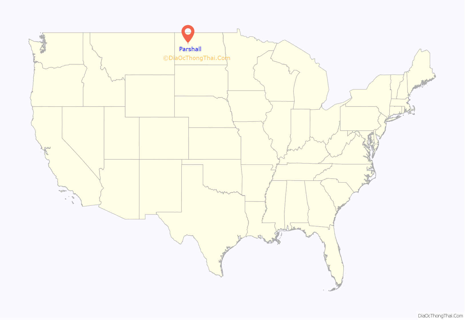
Parshall location map. Where is Parshall city?
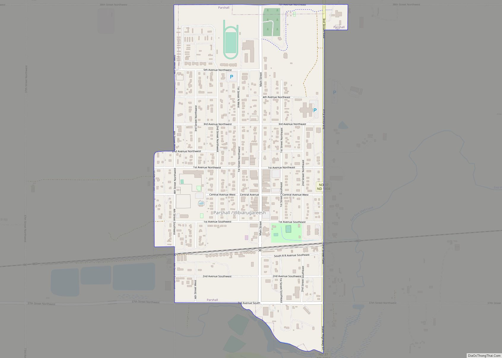
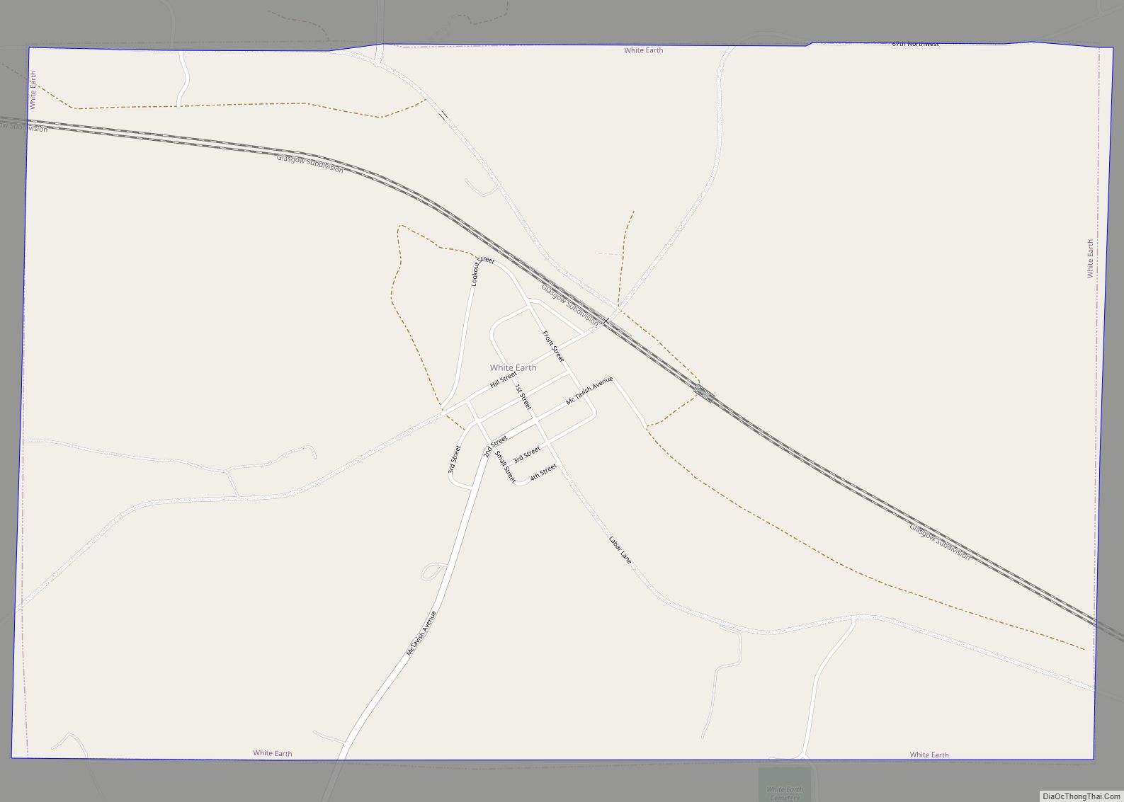
Parshall Road Map
Parshall city Satellite Map
Geography
Parshall is located at 47°57′17″N 102°8′4″W / 47.95472°N 102.13444°W / 47.95472; -102.13444 (47.954806, -102.134513).
According to the United States Census Bureau, the city has a total area of 0.55 square miles (1.42 km), all land.
See also
Map of North Dakota State and its subdivision:- Adams
- Barnes
- Benson
- Billings
- Bottineau
- Bowman
- Burke
- Burleigh
- Cass
- Cavalier
- Dickey
- Divide
- Dunn
- Eddy
- Emmons
- Foster
- Golden Valley
- Grand Forks
- Grant
- Griggs
- Hettinger
- Kidder
- Lamoure
- Logan
- McHenry
- McIntosh
- McKenzie
- McLean
- Mercer
- Morton
- Mountrail
- Nelson
- Oliver
- Pembina
- Pierce
- Ramsey
- Ransom
- Renville
- Richland
- Rolette
- Sargent
- Sheridan
- Sioux
- Slope
- Stark
- Steele
- Stutsman
- Towner
- Traill
- Walsh
- Ward
- Wells
- Williams
- Alabama
- Alaska
- Arizona
- Arkansas
- California
- Colorado
- Connecticut
- Delaware
- District of Columbia
- Florida
- Georgia
- Hawaii
- Idaho
- Illinois
- Indiana
- Iowa
- Kansas
- Kentucky
- Louisiana
- Maine
- Maryland
- Massachusetts
- Michigan
- Minnesota
- Mississippi
- Missouri
- Montana
- Nebraska
- Nevada
- New Hampshire
- New Jersey
- New Mexico
- New York
- North Carolina
- North Dakota
- Ohio
- Oklahoma
- Oregon
- Pennsylvania
- Rhode Island
- South Carolina
- South Dakota
- Tennessee
- Texas
- Utah
- Vermont
- Virginia
- Washington
- West Virginia
- Wisconsin
- Wyoming
