Reynolds is a city in Grand Forks and Traill counties in the State of North Dakota. It is part of the Grand Forks, ND–MN Metropolitan Statistical Area or “Greater Grand Forks”. The population was 277 at the 2020 census. Reynolds, named for pioneer settler Dr. Henry Reynolds, was founded in 1881.
| Name: | Reynolds city |
|---|---|
| LSAD Code: | 25 |
| LSAD Description: | city (suffix) |
| State: | North Dakota |
| County: | Grand Forks County, Traill County |
| Elevation: | 909 ft (277 m) |
| Total Area: | 0.78 sq mi (2.02 km²) |
| Land Area: | 0.78 sq mi (2.02 km²) |
| Water Area: | 0.00 sq mi (0.00 km²) |
| Total Population: | 277 |
| Population Density: | 355.58/sq mi (137.38/km²) |
| ZIP code: | 58275 |
| Area code: | 701 |
| FIPS code: | 3866260 |
| GNISfeature ID: | 1030889 |
| Website: | reynoldsnd.com |
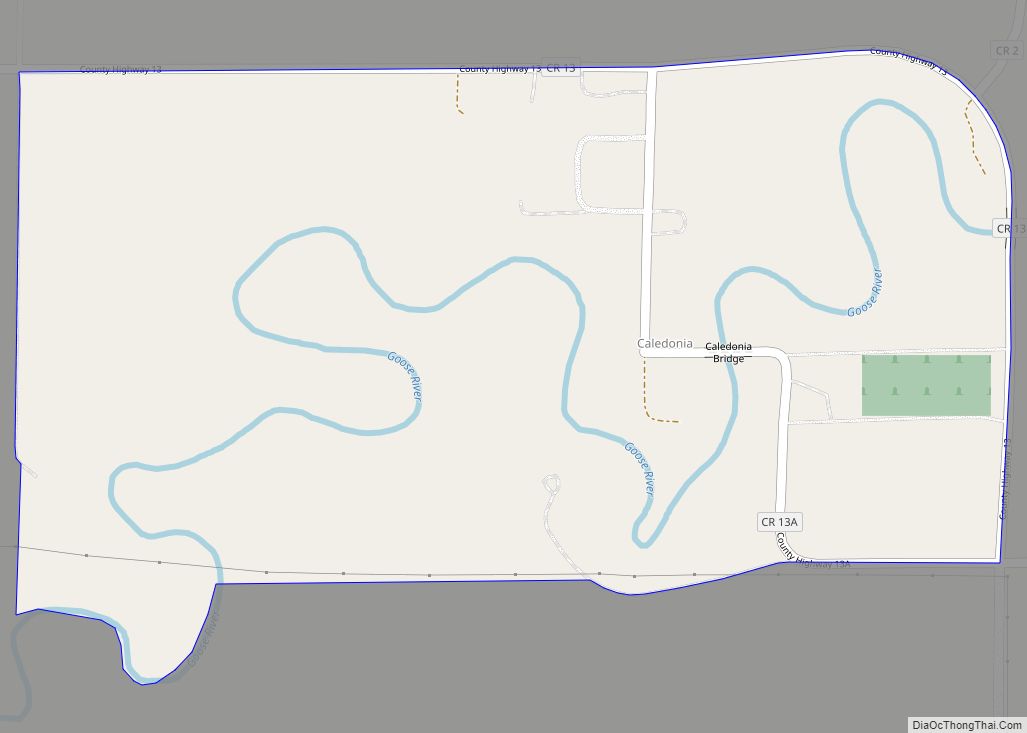
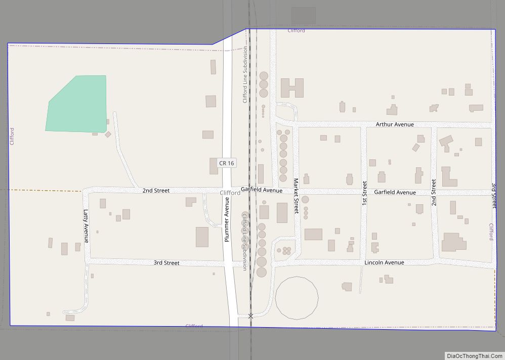
Online Interactive Map
Click on ![]() to view map in "full screen" mode.
to view map in "full screen" mode.
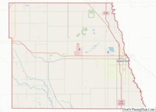
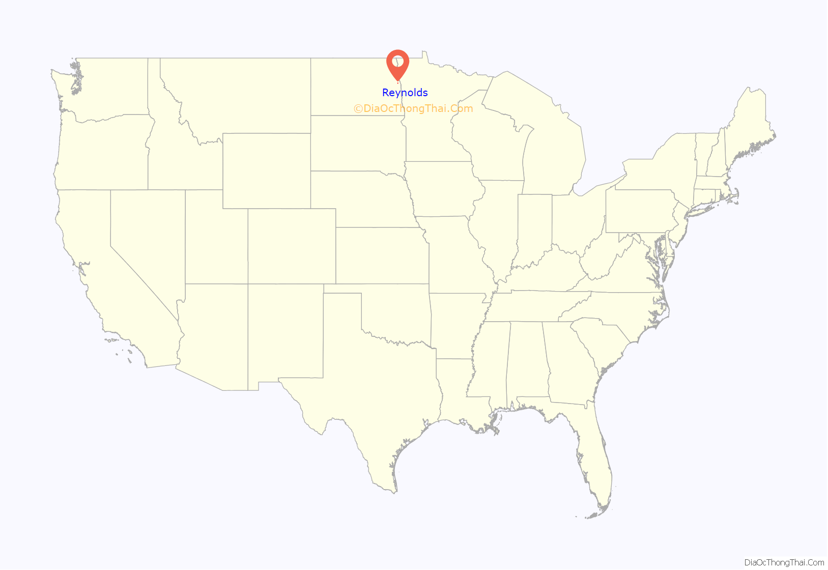
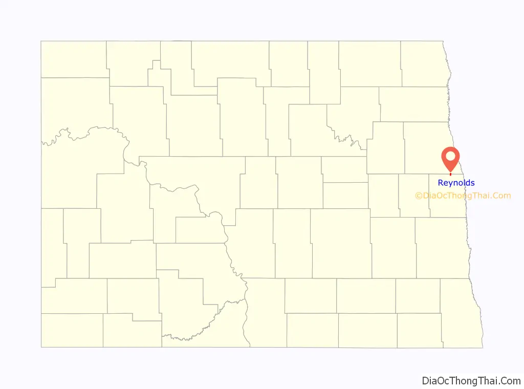
Reynolds location map. Where is Reynolds city?
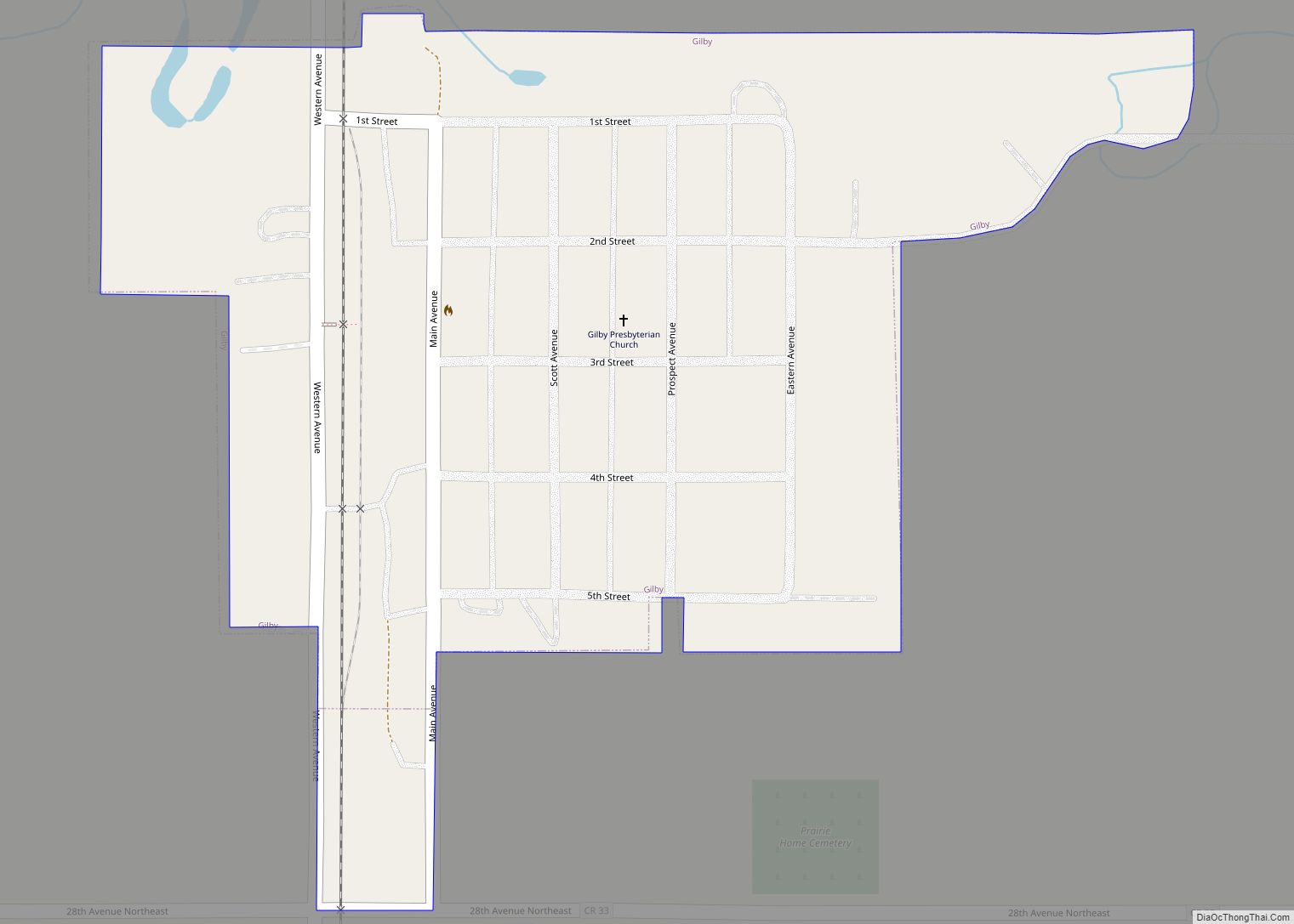
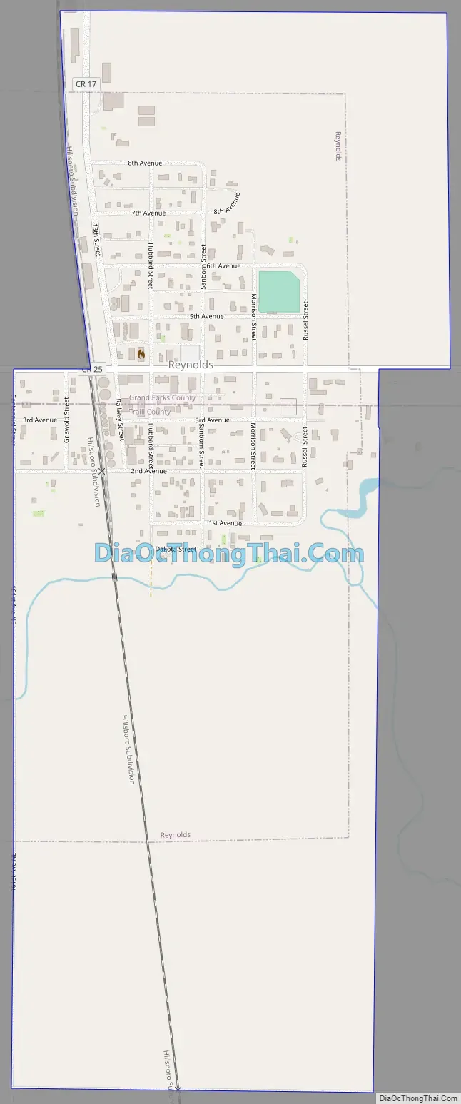
Reynolds Road Map
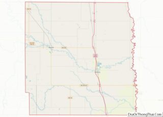
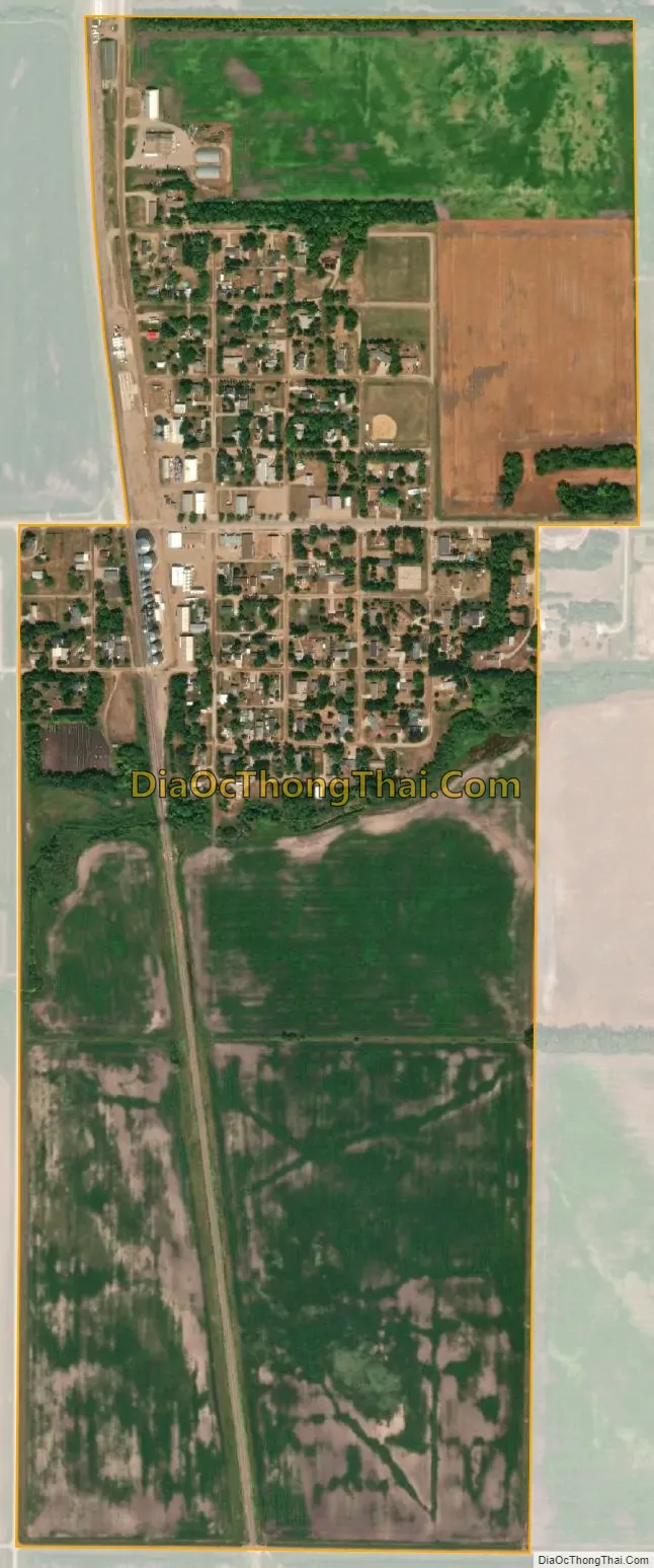
Reynolds city Satellite Map
Geography
Reynolds is located at 47°40′18″N 97°6′24″W / 47.67167°N 97.10667°W / 47.67167; -97.10667 (47.671563, -97.106752).
According to the United States Census Bureau, the city has a total area of 0.67 square miles (1.74 km), all land.
The southern section of Reynolds is actually in Traill County.
See also
Map of North Dakota State and its subdivision:- Adams
- Barnes
- Benson
- Billings
- Bottineau
- Bowman
- Burke
- Burleigh
- Cass
- Cavalier
- Dickey
- Divide
- Dunn
- Eddy
- Emmons
- Foster
- Golden Valley
- Grand Forks
- Grant
- Griggs
- Hettinger
- Kidder
- Lamoure
- Logan
- McHenry
- McIntosh
- McKenzie
- McLean
- Mercer
- Morton
- Mountrail
- Nelson
- Oliver
- Pembina
- Pierce
- Ramsey
- Ransom
- Renville
- Richland
- Rolette
- Sargent
- Sheridan
- Sioux
- Slope
- Stark
- Steele
- Stutsman
- Towner
- Traill
- Walsh
- Ward
- Wells
- Williams
- Alabama
- Alaska
- Arizona
- Arkansas
- California
- Colorado
- Connecticut
- Delaware
- District of Columbia
- Florida
- Georgia
- Hawaii
- Idaho
- Illinois
- Indiana
- Iowa
- Kansas
- Kentucky
- Louisiana
- Maine
- Maryland
- Massachusetts
- Michigan
- Minnesota
- Mississippi
- Missouri
- Montana
- Nebraska
- Nevada
- New Hampshire
- New Jersey
- New Mexico
- New York
- North Carolina
- North Dakota
- Ohio
- Oklahoma
- Oregon
- Pennsylvania
- Rhode Island
- South Carolina
- South Dakota
- Tennessee
- Texas
- Utah
- Vermont
- Virginia
- Washington
- West Virginia
- Wisconsin
- Wyoming