Sarles is a city in Cavalier and Towner counties in the State of North Dakota. The population was 16 at the 2020 census. Sarles was founded in 1905 at the end of the Great Northern railway extension north of Munich, called the “Sarles Branch”. The town is named for North Dakota Governor Elmore Y. Sarles.
| Name: | Sarles city |
|---|---|
| LSAD Code: | 25 |
| LSAD Description: | city (suffix) |
| State: | North Dakota |
| County: | Cavalier County, Towner County |
| Founded: | 1905 |
| Elevation: | 1,585 ft (483 m) |
| Total Area: | 0.26 sq mi (0.68 km²) |
| Land Area: | 0.26 sq mi (0.68 km²) |
| Water Area: | 0.00 sq mi (0.00 km²) |
| Total Population: | 16 |
| Population Density: | 61.30/sq mi (23.65/km²) |
| ZIP code: | 58372 |
| Area code: | 701 |
| FIPS code: | 3870780 |
| GNISfeature ID: | 1031357 |
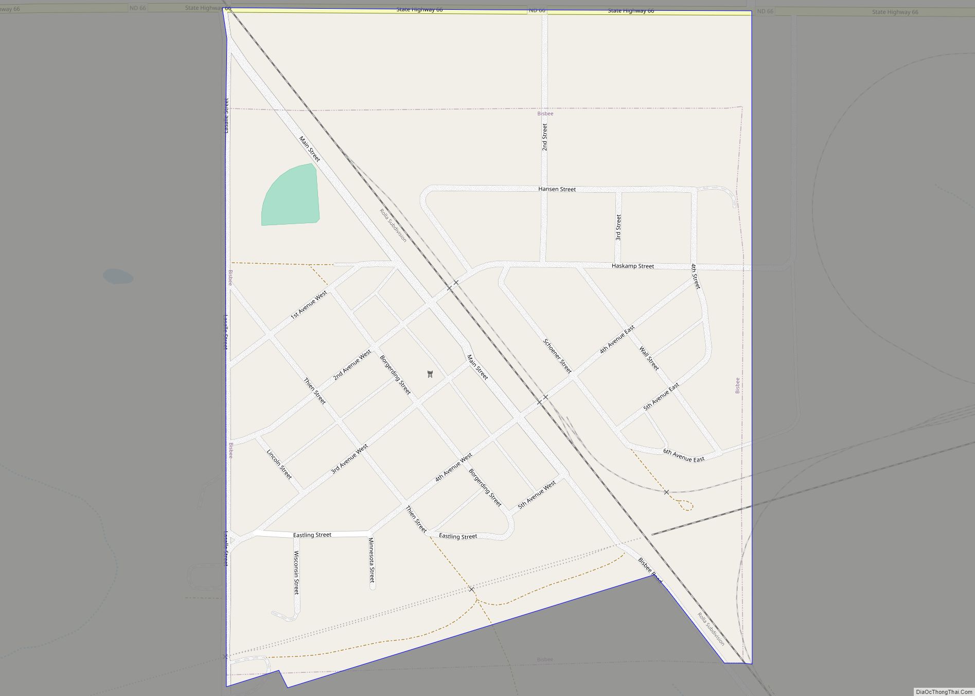
Online Interactive Map
Click on ![]() to view map in "full screen" mode.
to view map in "full screen" mode.
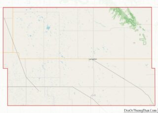
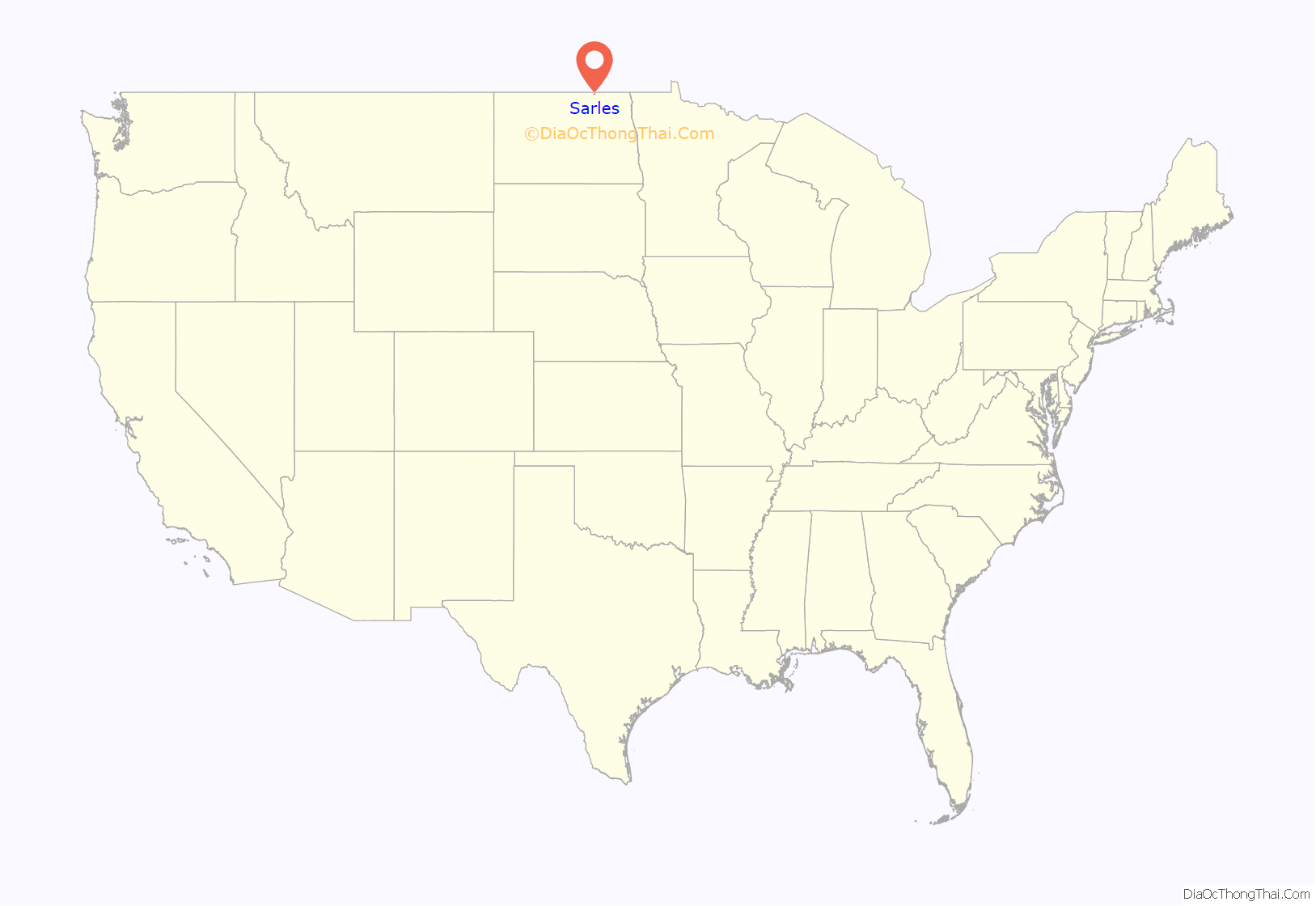
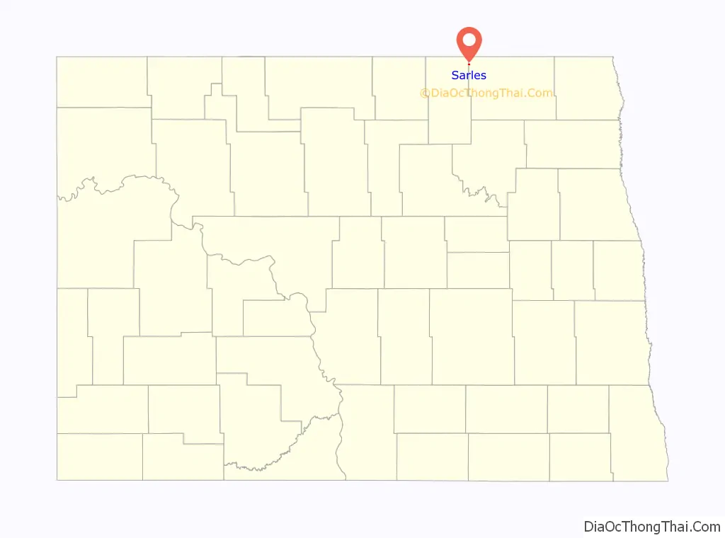
Sarles location map. Where is Sarles city?
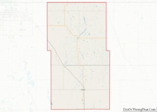
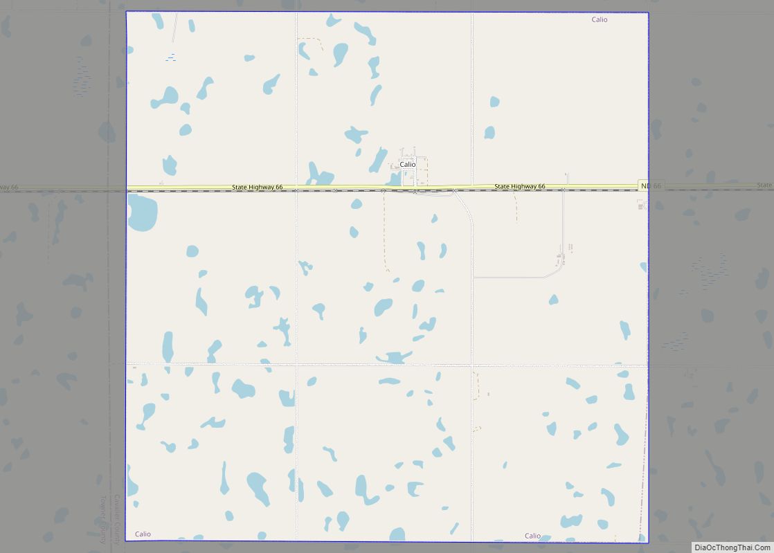
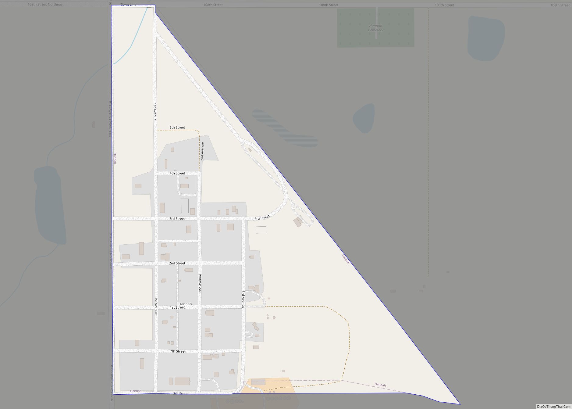
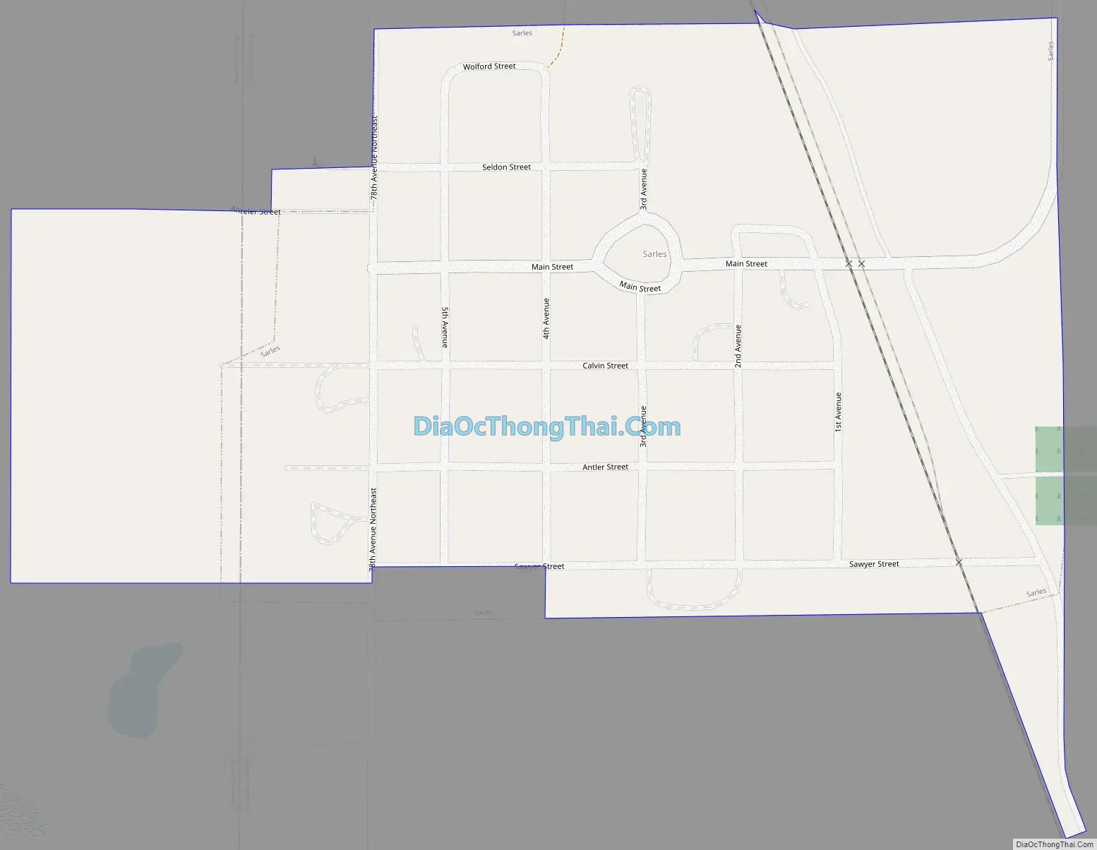
Sarles Road Map
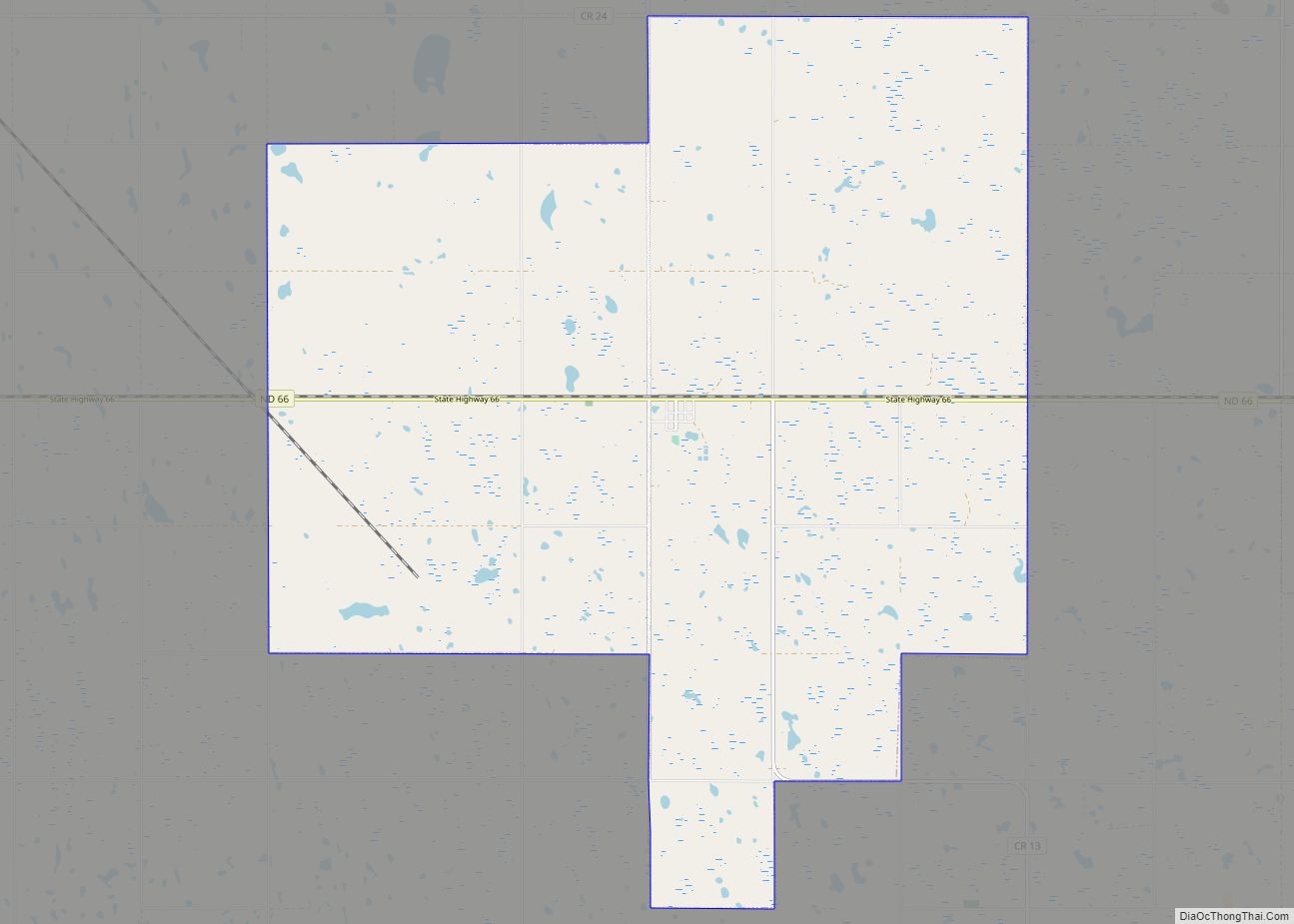
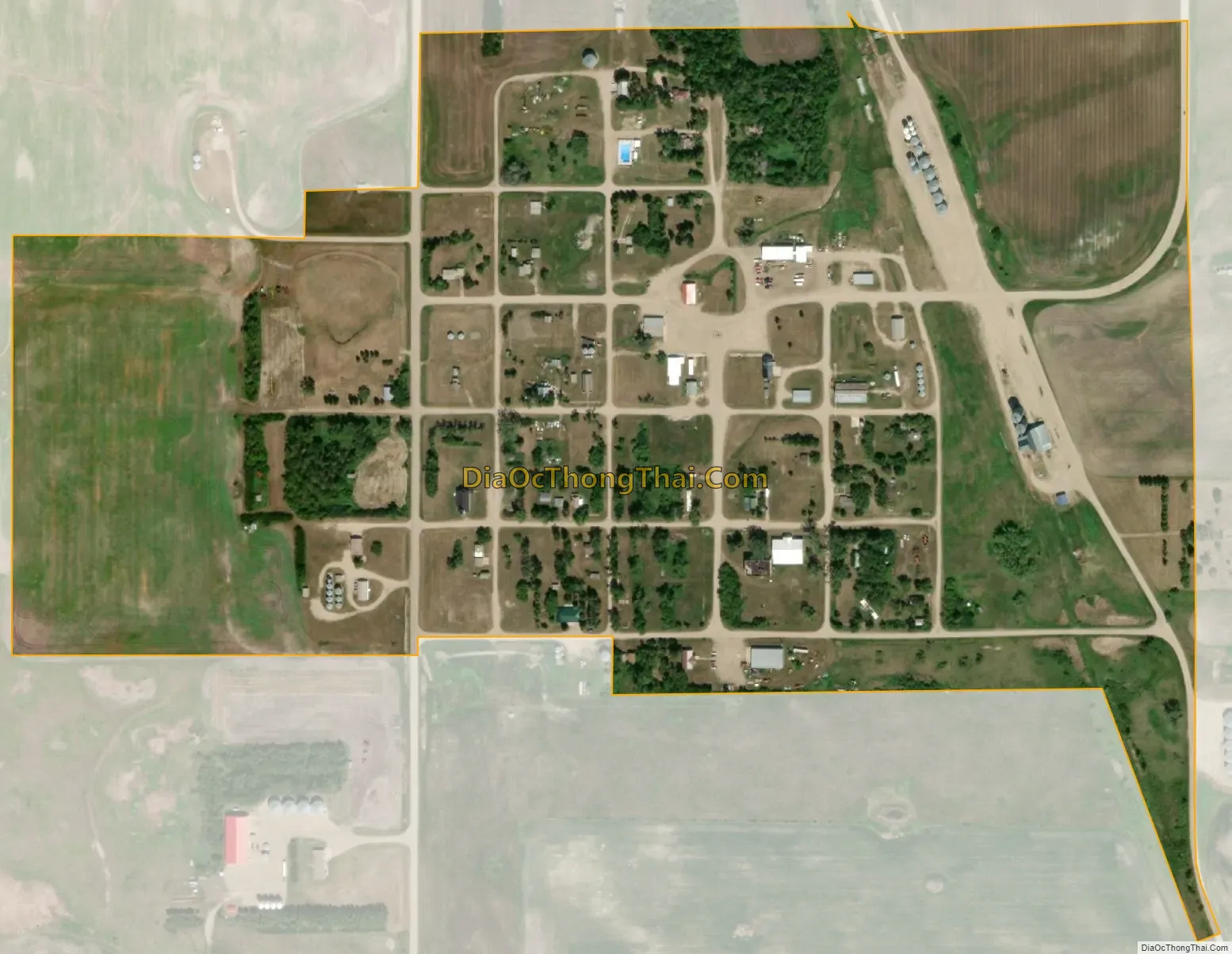
Sarles city Satellite Map
Geography
Sarles is located at 48°56′43″N 98°59′49″W / 48.94528°N 98.99694°W / 48.94528; -98.99694 (48.945231, -98.996864).
According to the United States Census Bureau, the city has a total area of 0.22 square miles (0.57 km), all land.
See also
Map of North Dakota State and its subdivision:- Adams
- Barnes
- Benson
- Billings
- Bottineau
- Bowman
- Burke
- Burleigh
- Cass
- Cavalier
- Dickey
- Divide
- Dunn
- Eddy
- Emmons
- Foster
- Golden Valley
- Grand Forks
- Grant
- Griggs
- Hettinger
- Kidder
- Lamoure
- Logan
- McHenry
- McIntosh
- McKenzie
- McLean
- Mercer
- Morton
- Mountrail
- Nelson
- Oliver
- Pembina
- Pierce
- Ramsey
- Ransom
- Renville
- Richland
- Rolette
- Sargent
- Sheridan
- Sioux
- Slope
- Stark
- Steele
- Stutsman
- Towner
- Traill
- Walsh
- Ward
- Wells
- Williams
- Alabama
- Alaska
- Arizona
- Arkansas
- California
- Colorado
- Connecticut
- Delaware
- District of Columbia
- Florida
- Georgia
- Hawaii
- Idaho
- Illinois
- Indiana
- Iowa
- Kansas
- Kentucky
- Louisiana
- Maine
- Maryland
- Massachusetts
- Michigan
- Minnesota
- Mississippi
- Missouri
- Montana
- Nebraska
- Nevada
- New Hampshire
- New Jersey
- New Mexico
- New York
- North Carolina
- North Dakota
- Ohio
- Oklahoma
- Oregon
- Pennsylvania
- Rhode Island
- South Carolina
- South Dakota
- Tennessee
- Texas
- Utah
- Vermont
- Virginia
- Washington
- West Virginia
- Wisconsin
- Wyoming