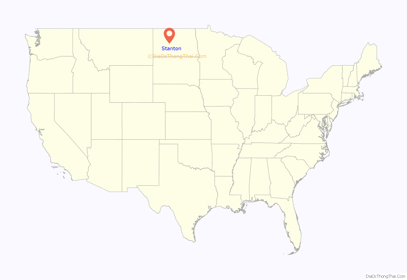
Stanton is a city in Mercer County, North Dakota, United States. It is the county seat of Mercer County. The population was 368 at the 2020 census. Stanton was founded in 1883 and became the county seat when Mercer County organized in 1884.
Stanton is home to the Knife River Indian Villages National Historic Site, which houses a Hidatsa earth lodge and three abandoned villages. One of these, Awatixa, is believed to be the former home of Sakakawea.
| Name: | Stanton city |
|---|---|
| LSAD Code: | 25 |
| LSAD Description: | city (suffix) |
| State: | North Dakota |
| County: | Mercer County |
| Founded: | 1883 |
| Elevation: | 1,703 ft (519 m) |
| Total Area: | 0.36 sq mi (0.92 km²) |
| Land Area: | 0.35 sq mi (0.92 km²) |
| Water Area: | 0.00 sq mi (0.00 km²) |
| Total Population: | 368 |
| Population Density: | 1,036.62/sq mi (399.81/km²) |
| ZIP code: | 58571 |
| Area code: | 701 |
| FIPS code: | 3875420 |
| GNISfeature ID: | 1032286 |
| Website: | stantonnd.com |
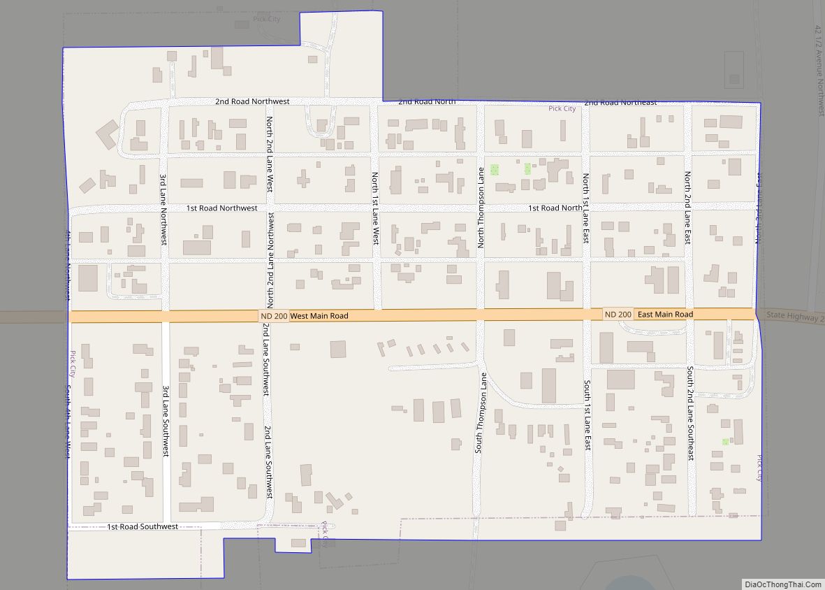
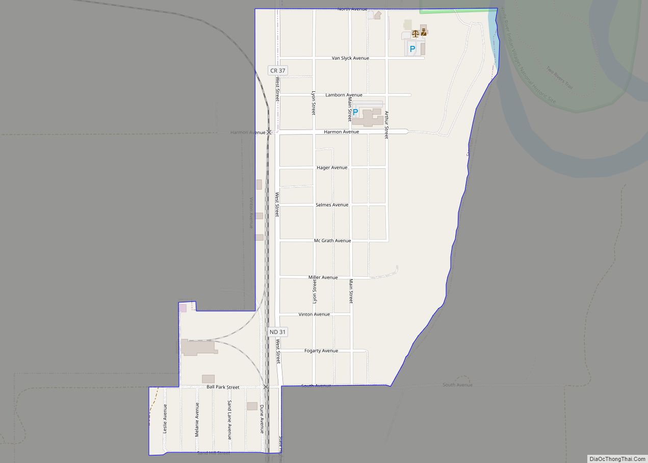
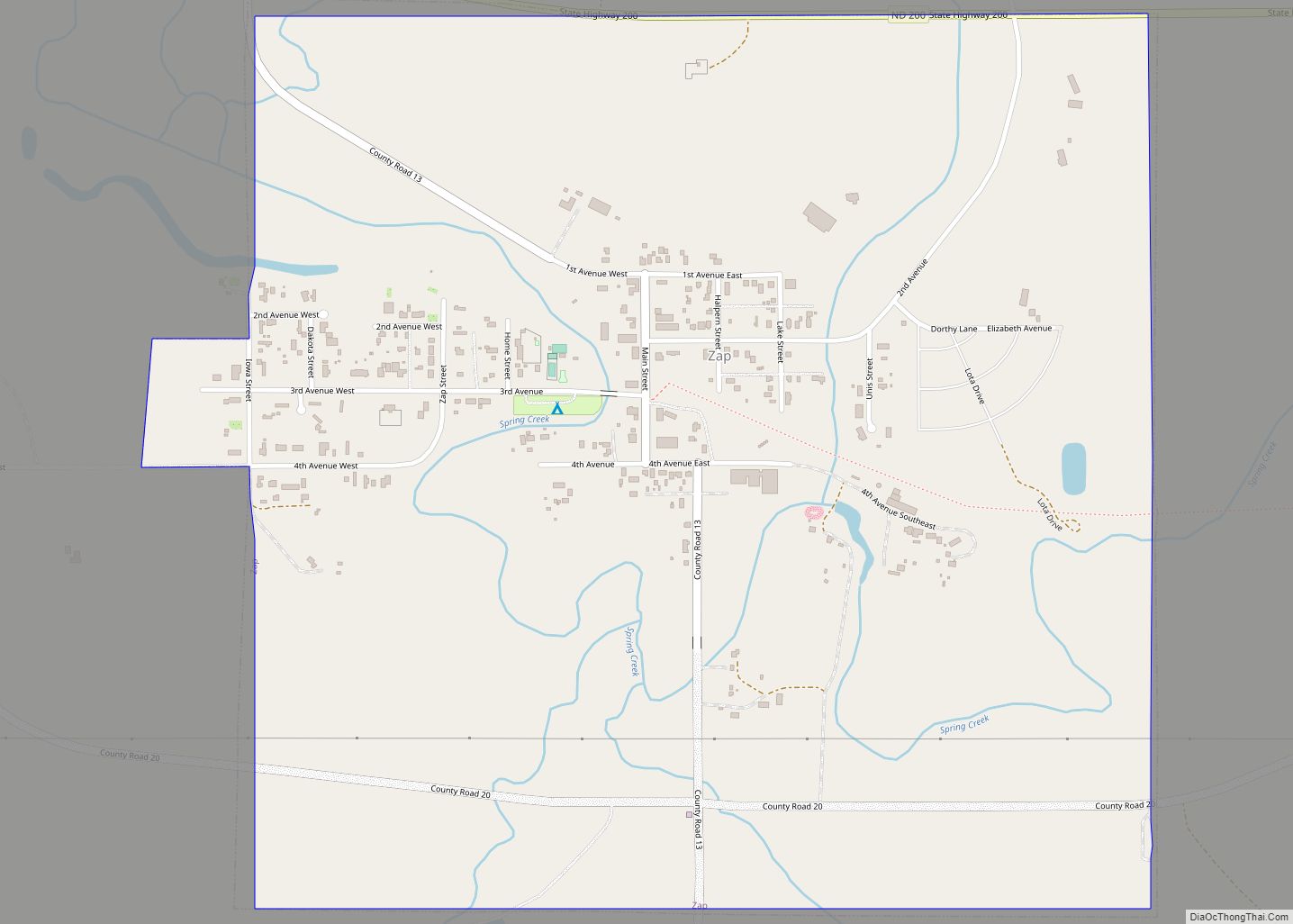
Online Interactive Map
Click on ![]() to view map in "full screen" mode.
to view map in "full screen" mode.
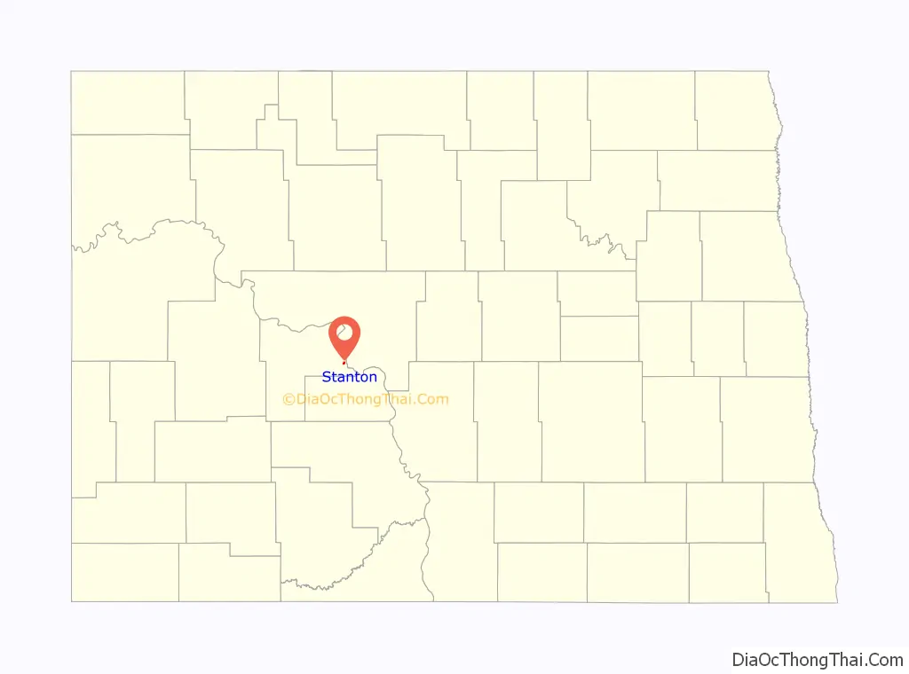
Stanton location map. Where is Stanton city?
Stanton Road Map

Stanton city Satellite Map

Geography
Stanton is located at 47°19′10″N 101°22′57″W / 47.31944°N 101.38250°W / 47.31944; -101.38250 (47.319506, -101.382434).
According to the United States Census Bureau, the city has a total area of 0.47 square miles (1.22 km), all land.
See also
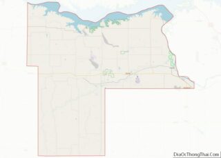
Map of North Dakota State and its subdivision:- Adams
- Barnes
- Benson
- Billings
- Bottineau
- Bowman
- Burke
- Burleigh
- Cass
- Cavalier
- Dickey
- Divide
- Dunn
- Eddy
- Emmons
- Foster
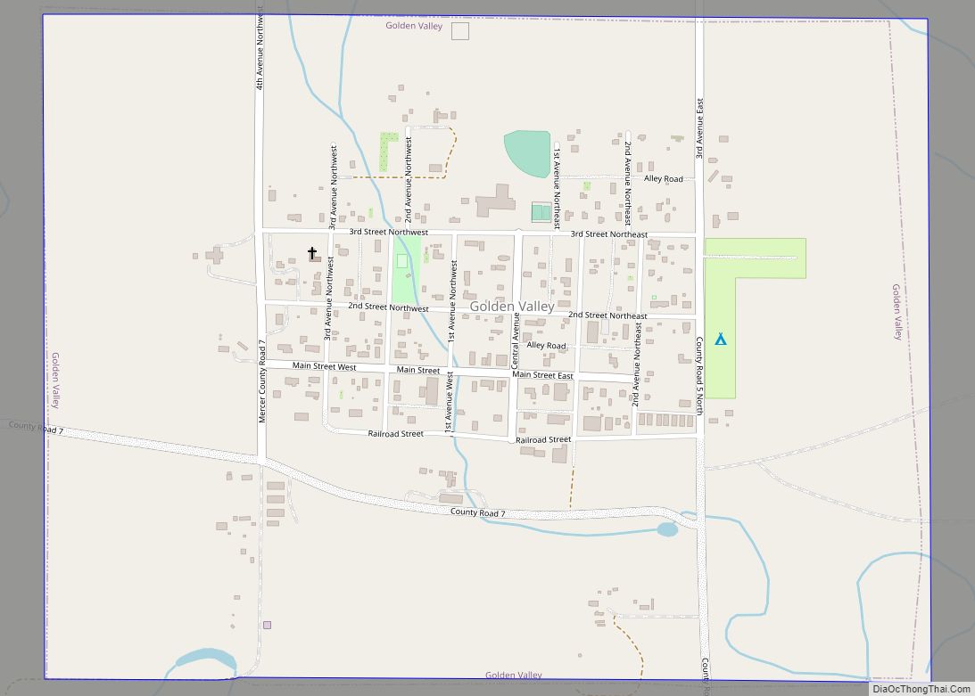
- Golden Valley
- Grand Forks
- Grant
- Griggs
- Hettinger
- Kidder
- Lamoure
- Logan
- McHenry
- McIntosh
- McKenzie
- McLean
- Mercer
- Morton
- Mountrail
- Nelson
- Oliver
- Pembina
- Pierce
- Ramsey
- Ransom
- Renville
- Richland
- Rolette
- Sargent
- Sheridan
- Sioux
- Slope
- Stark
- Steele
- Stutsman
- Towner
- Traill
- Walsh
- Ward
- Wells
- Williams
- Alabama
- Alaska
- Arizona
- Arkansas
- California
- Colorado
- Connecticut
- Delaware
- District of Columbia
- Florida
- Georgia
- Hawaii
- Idaho
- Illinois
- Indiana
- Iowa
- Kansas
- Kentucky
- Louisiana
- Maine
- Maryland
- Massachusetts
- Michigan
- Minnesota
- Mississippi
- Missouri
- Montana
- Nebraska
- Nevada
- New Hampshire
- New Jersey
- New Mexico
- New York
- North Carolina
- North Dakota
- Ohio
- Oklahoma
- Oregon
- Pennsylvania
- Rhode Island
- South Carolina
- South Dakota
- Tennessee
- Texas
- Utah
- Vermont
- Virginia
- Washington
- West Virginia
- Wisconsin
- Wyoming