Thompson is a city in Grand Forks County, North Dakota, United States. It is part of the “Grand Forks, ND–MN Metropolitan Statistical Area” or “Greater Grand Forks”. It is located on the border of Allendale and Walle townships, with Walle on the east and Allendale on the west. The population was 1,101 at the 2020 census. Thompson was founded in 1881.
| Name: | Thompson city |
|---|---|
| LSAD Code: | 25 |
| LSAD Description: | city (suffix) |
| State: | North Dakota |
| County: | Grand Forks County |
| Founded: | 1881 |
| Elevation: | 873 ft (266 m) |
| Total Area: | 0.47 sq mi (1.23 km²) |
| Land Area: | 0.47 sq mi (1.21 km²) |
| Water Area: | 0.01 sq mi (0.02 km²) |
| Total Population: | 1,101 |
| Population Density: | 2,352.56/sq mi (909.26/km²) |
| ZIP code: | 58278 |
| Area code: | 701 |
| FIPS code: | 3878660 |
| GNISfeature ID: | 1032471 |
| Website: | cityofthompsonnd.com |
Online Interactive Map
Click on ![]() to view map in "full screen" mode.
to view map in "full screen" mode.
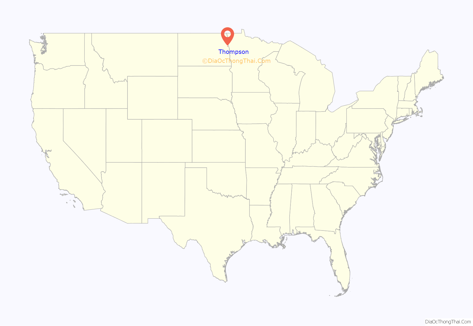
Thompson location map. Where is Thompson city?
History
The first residents of the town were businessmen who had come to support the needs of new settlers to the area. The town was first called Norton because the first buildings of the town were adjacent to land owned by George Norton. However, when the railroad came in 1881, the name caused an issue, since there was already a nearby town of Norton in Minnesota.
Albert Thompson, co-owner of a general store with his brother Robert, was commissioned postmaster in January of 1881. The name of the town was then changed to Thompson in honor of Albert Thompson.
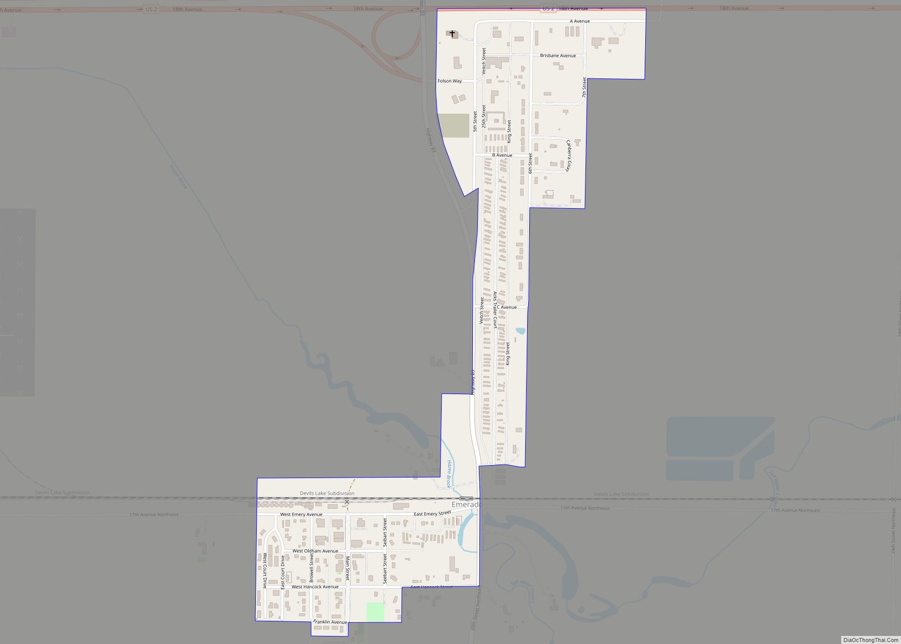
Thompson Road Map
Thompson city Satellite Map
Geography
Thompson is located at 47°46′33″N 97°06′24″W / 47.775821°N 97.106538°W / 47.775821; -97.106538 (47.775821, −97.106538).
According to the United States Census Bureau, the city has a total area of 0.47 square miles (1.22 km), of which 0.46 square miles (1.19 km) is land and 0.01 square miles (0.03 km) is water.
See also
Map of North Dakota State and its subdivision:- Adams
- Barnes
- Benson
- Billings
- Bottineau
- Bowman
- Burke
- Burleigh
- Cass
- Cavalier
- Dickey
- Divide
- Dunn
- Eddy
- Emmons
- Foster
- Golden Valley
- Grand Forks
- Grant
- Griggs
- Hettinger
- Kidder
- Lamoure
- Logan
- McHenry
- McIntosh
- McKenzie
- McLean
- Mercer
- Morton
- Mountrail
- Nelson
- Oliver
- Pembina
- Pierce
- Ramsey
- Ransom
- Renville
- Richland
- Rolette
- Sargent
- Sheridan
- Sioux
- Slope
- Stark
- Steele
- Stutsman
- Towner
- Traill
- Walsh
- Ward
- Wells
- Williams
- Alabama
- Alaska
- Arizona
- Arkansas
- California
- Colorado
- Connecticut
- Delaware
- District of Columbia
- Florida
- Georgia
- Hawaii
- Idaho
- Illinois
- Indiana
- Iowa
- Kansas
- Kentucky
- Louisiana
- Maine
- Maryland
- Massachusetts
- Michigan
- Minnesota
- Mississippi
- Missouri
- Montana
- Nebraska
- Nevada
- New Hampshire
- New Jersey
- New Mexico
- New York
- North Carolina
- North Dakota
- Ohio
- Oklahoma
- Oregon
- Pennsylvania
- Rhode Island
- South Carolina
- South Dakota
- Tennessee
- Texas
- Utah
- Vermont
- Virginia
- Washington
- West Virginia
- Wisconsin
- Wyoming
