Tuttle is a city in Kidder County, North Dakota, United States. The population was 60 at the 2020 census. Tuttle was founded in 1911. At the turn of the 19th century and early 20th century, the land surrounding Tuttle was predominantly, although not exclusively, homesteaded by families of German-Russian ethnicity. Many of their descendants still farm and ranch the land around Tuttle.
| Name: | Tuttle city |
|---|---|
| LSAD Code: | 25 |
| LSAD Description: | city (suffix) |
| State: | North Dakota |
| County: | Kidder County |
| Elevation: | 1,860 ft (567 m) |
| Total Area: | 0.25 sq mi (0.64 km²) |
| Land Area: | 0.25 sq mi (0.64 km²) |
| Water Area: | 0.00 sq mi (0.00 km²) |
| Total Population: | 60 |
| Population Density: | 241.94/sq mi (93.23/km²) |
| ZIP code: | 58488 |
| Area code: | 701 |
| FIPS code: | 3880140 |
| GNISfeature ID: | 1032557 |
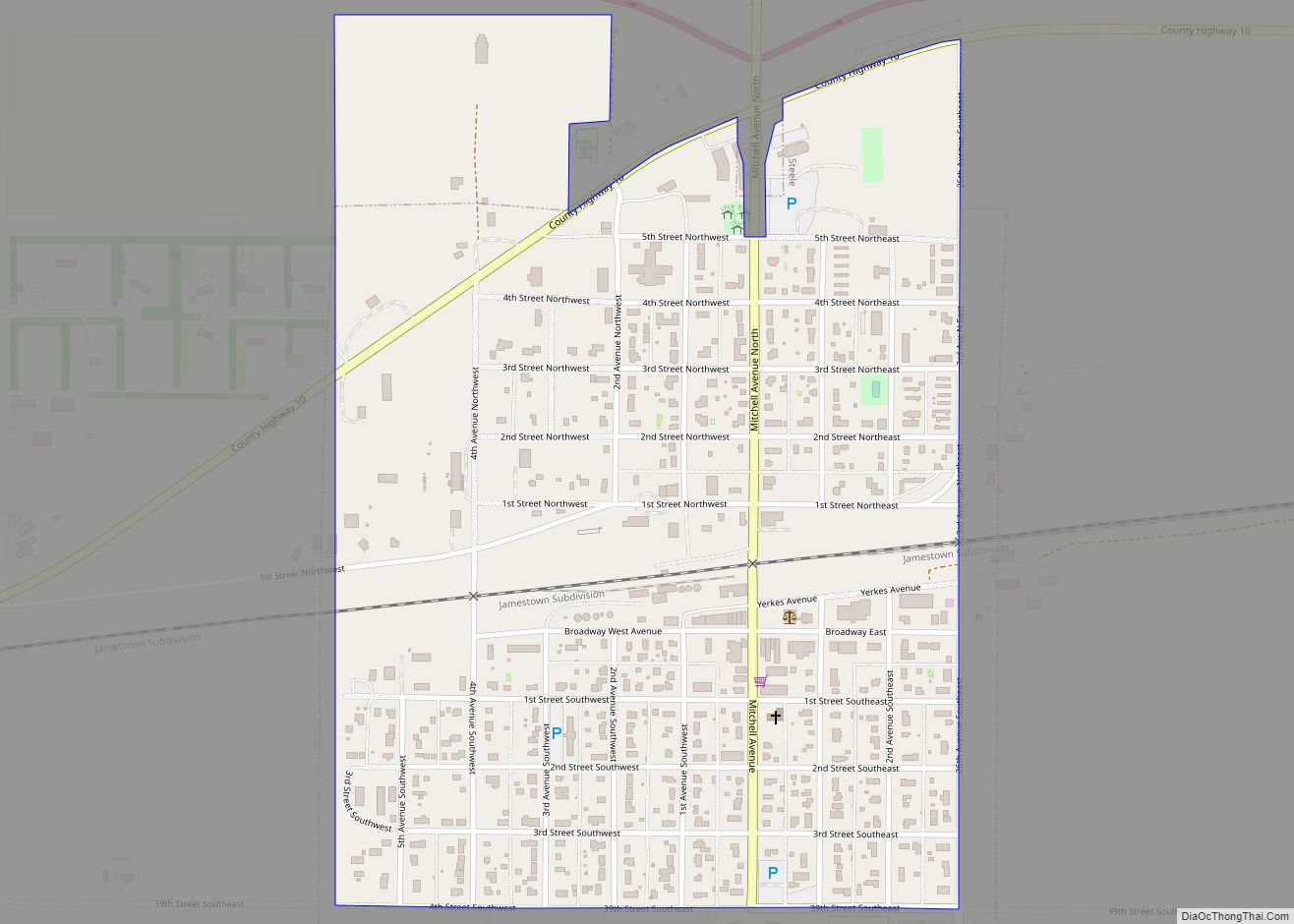
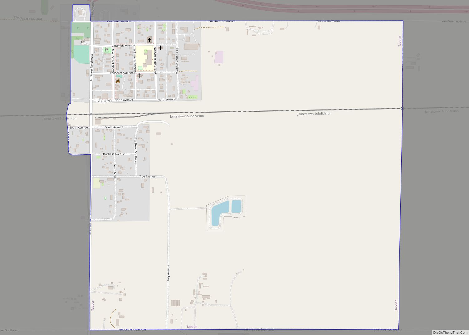
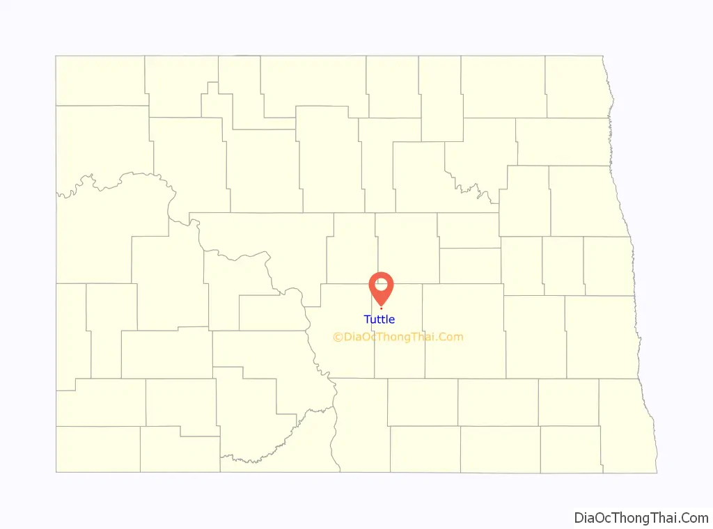
Online Interactive Map
Click on ![]() to view map in "full screen" mode.
to view map in "full screen" mode.
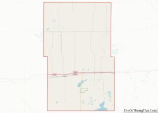
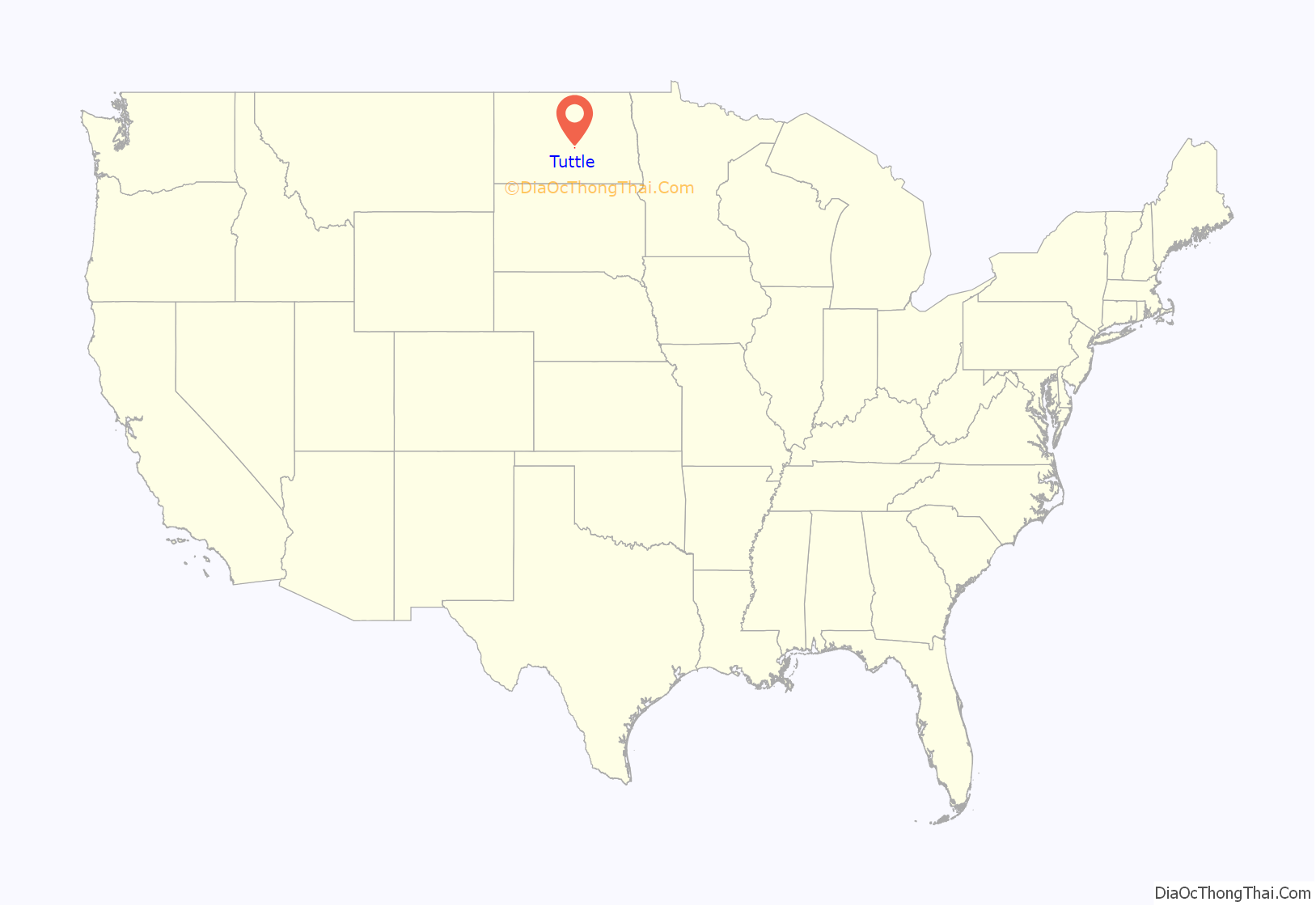
Tuttle location map. Where is Tuttle city?
History
According to the Tuttle 50th anniversary book published in 1961, Tuttle was named for Col. William P. Tuttle, an official in the Dakota Land & Townsite Company which platted the town in 1910. Col. Tuttle reportedly never lived in Tuttle, but was fond of the town and once purchased baseball uniforms for the local team. The Northern Pacific Railway laid a track through Tuttle on October 4, 1911. Service between Tuttle and Pingree to the east started later that month. On January 21, 1917, fire completely destroyed the Miller General Store and several other Tuttle businesses. Citizens responded and were able to save other businesses from the flames. Following this fire, citizens met to organize a volunteer fire department which exists to this day. J.W. Wittmayer was elected the first fire chief of Tuttle.
Many family histories recorded in the anniversary book tell of extreme hardships with the weather which can produce severe cold and blizzards in the winter and blazing heat and strong storms in the summer. On July 3, 1935, at about 9 am, the town experienced a notable weather event. A strong wind came up first and hail started falling and, combined with drenching rain, it caused significant damage to Tuttle and surrounding areas. Reportedly, nearly every window facing north and west was broken in homes and business places. Despite the damage, a July 4 Independence Day celebration occurred as planned. On July 1, 1952, about 7:00 pm, a tornado struck Tuttle in the evening. The clouds in the sky reportedly looked very threatening. As the tornado drew closer to the town, residents reported hearing a sound like “hundreds of freight trains bearing down.” The funnel could not be seen in Tuttle as there was so much dust in the air, but people south of the town reported seeing it very clearly. The tornado heavily damaged several homes in Tuttle, but the majority were not touched.
2007 was a particularly difficult year for Tuttle. In this year, the Tuttle School closed. The Danielson Hotel, an abandoned hotel landmark on Tuttle’s main street, was demolished. On November 19, 2007, the Tuttle post office building, a historic field stone structure created in 1938 as a WPA project, was significantly damaged after a furnace ignited and fire gutted the building. The resulting smoke plume was visible for many miles. The fire did not destroy the field stone and concrete walls, and the building was restored by 2011.
Like many other small towns on the North American Great Plains that were settled in the early 20th century, nearly a century after its founding Tuttle has experienced the closure of many business which has paralleled a population trend of outmigration of young people to larger cities and a subsequent aging of its population. Today, Tuttle is without a bank, a school and newspaper, but is home to a well stocked co-op grocery store and grain elevator. Although the railroad track that caused Tuttle to be platted was removed around 2004, improved roads and access to Interstate 94 has reduced the isolation of Tuttle. The cities of Bismarck and Jamestown are approximately a one-hour drive from Tuttle, and are therefore accessible to Tuttle residents.
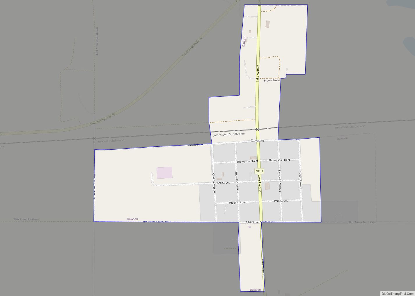
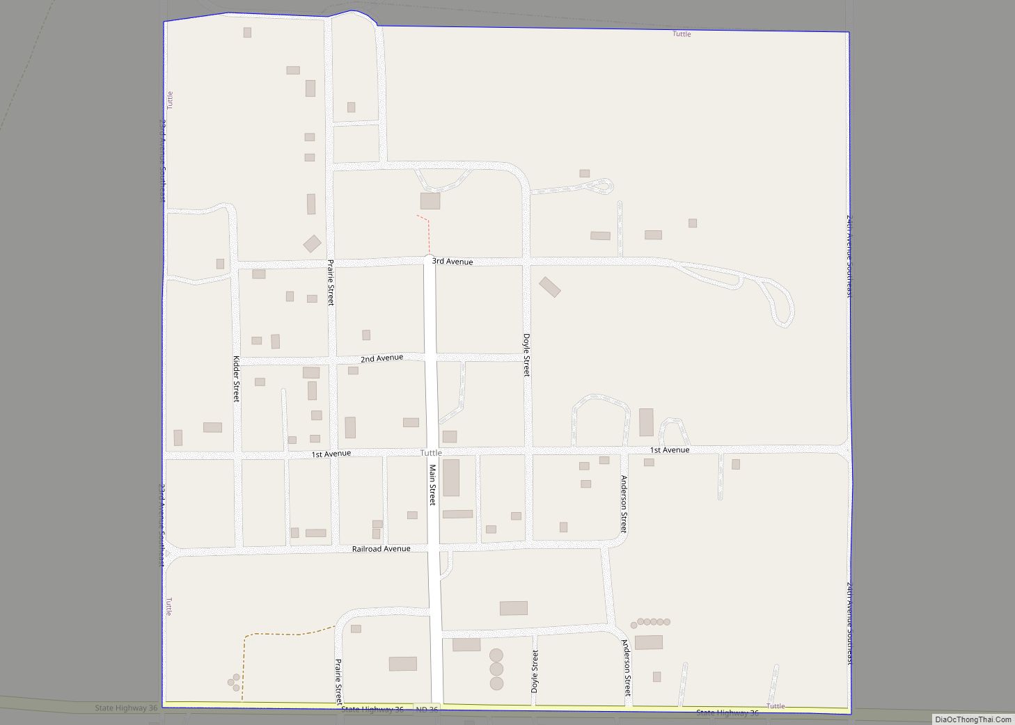
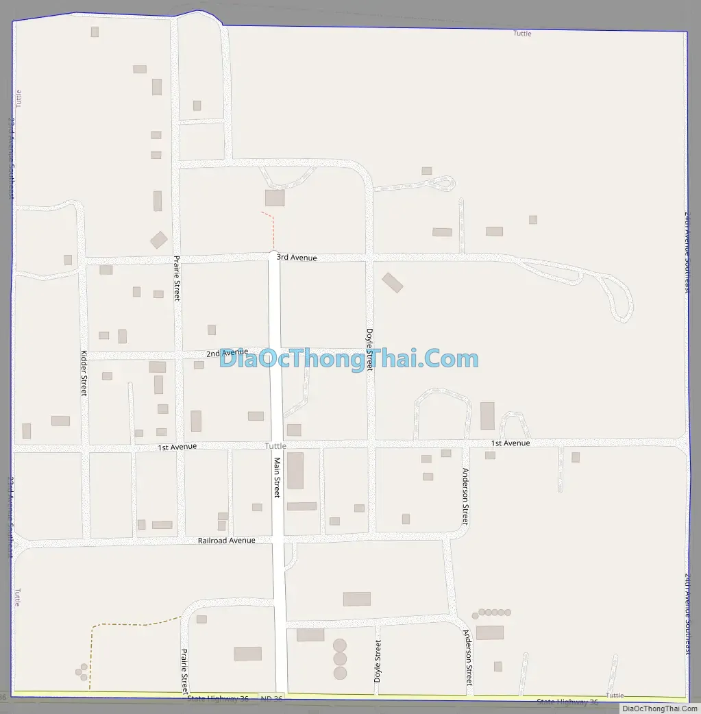
Tuttle Road Map
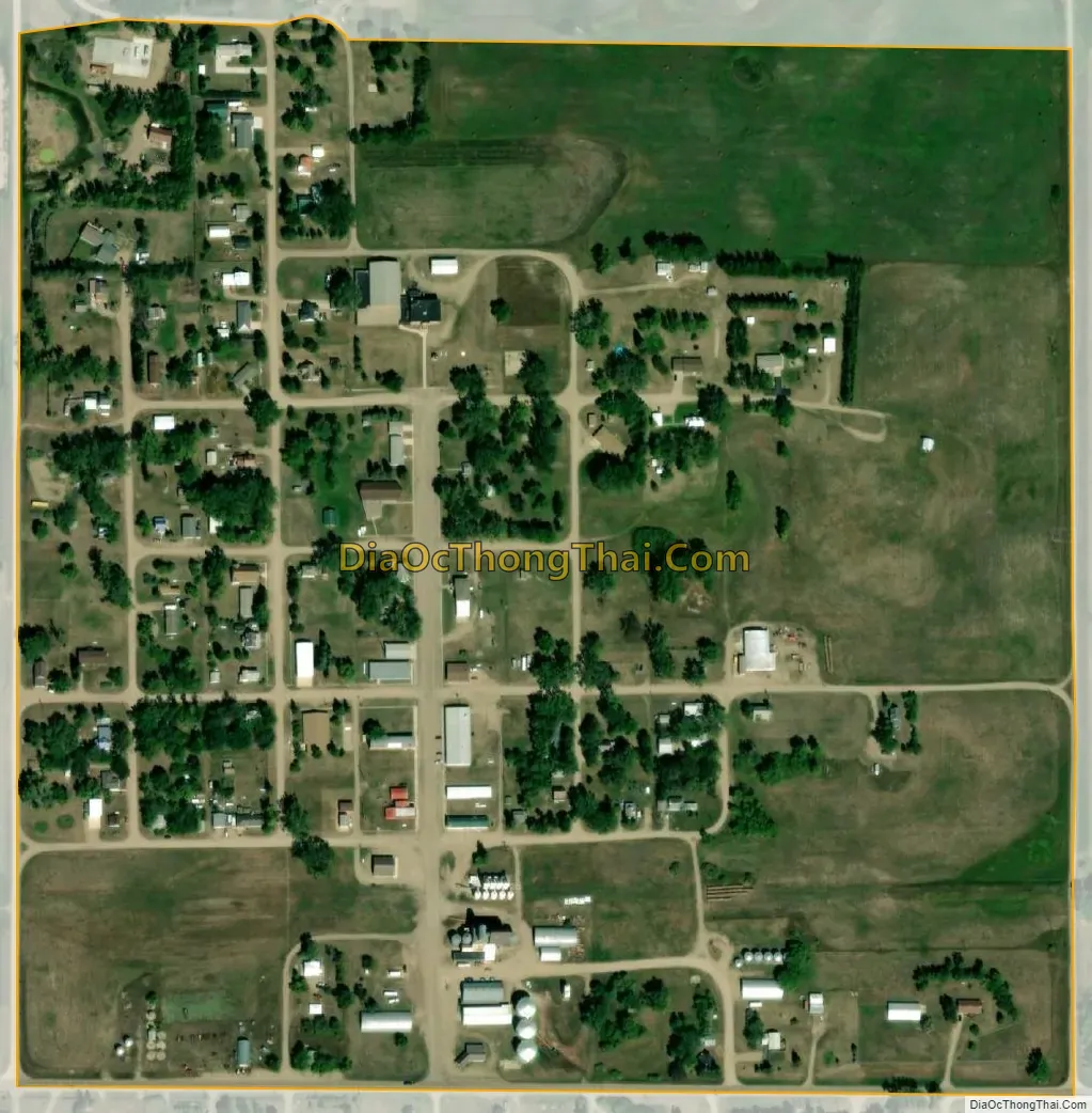
Tuttle city Satellite Map
Geography
Tuttle is located virtually in the center of North Dakota at 47°8′38″N 99°59′44″W / 47.14389°N 99.99556°W / 47.14389; -99.99556 (47.144020, -99.995464). According to the United States Census Bureau, the city has a total area of 0.25 square miles (0.65 km), all land. Because of its location in the Prairie Pothole Region and the Central Flyway, residents enjoy access to outdoor hunting activities. Tuttle has also become a destination for waterfowl hunters.
See also
Map of North Dakota State and its subdivision:- Adams
- Barnes
- Benson
- Billings
- Bottineau
- Bowman
- Burke
- Burleigh
- Cass
- Cavalier
- Dickey
- Divide
- Dunn
- Eddy
- Emmons
- Foster
- Golden Valley
- Grand Forks
- Grant
- Griggs
- Hettinger
- Kidder
- Lamoure
- Logan
- McHenry
- McIntosh
- McKenzie
- McLean
- Mercer
- Morton
- Mountrail
- Nelson
- Oliver
- Pembina
- Pierce
- Ramsey
- Ransom
- Renville
- Richland
- Rolette
- Sargent
- Sheridan
- Sioux
- Slope
- Stark
- Steele
- Stutsman
- Towner
- Traill
- Walsh
- Ward
- Wells
- Williams
- Alabama
- Alaska
- Arizona
- Arkansas
- California
- Colorado
- Connecticut
- Delaware
- District of Columbia
- Florida
- Georgia
- Hawaii
- Idaho
- Illinois
- Indiana
- Iowa
- Kansas
- Kentucky
- Louisiana
- Maine
- Maryland
- Massachusetts
- Michigan
- Minnesota
- Mississippi
- Missouri
- Montana
- Nebraska
- Nevada
- New Hampshire
- New Jersey
- New Mexico
- New York
- North Carolina
- North Dakota
- Ohio
- Oklahoma
- Oregon
- Pennsylvania
- Rhode Island
- South Carolina
- South Dakota
- Tennessee
- Texas
- Utah
- Vermont
- Virginia
- Washington
- West Virginia
- Wisconsin
- Wyoming